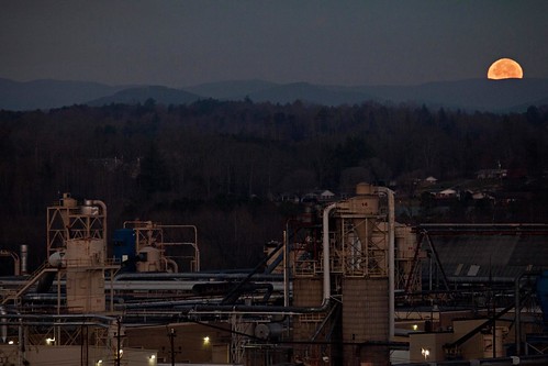
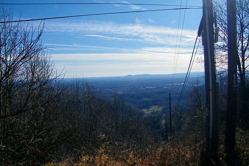
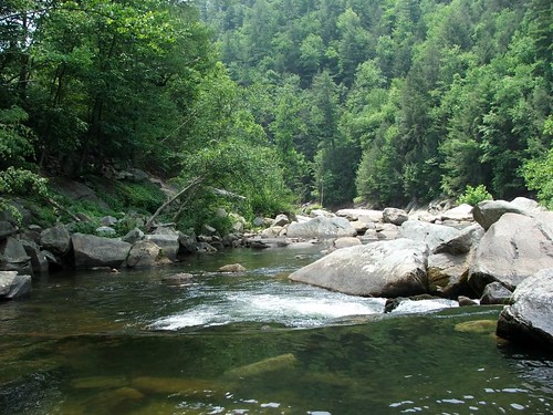
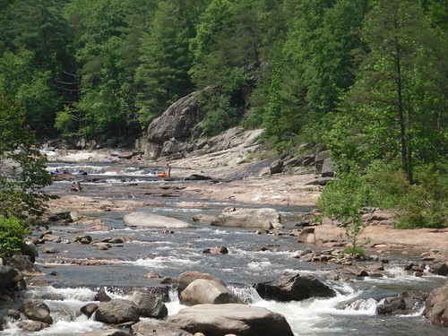
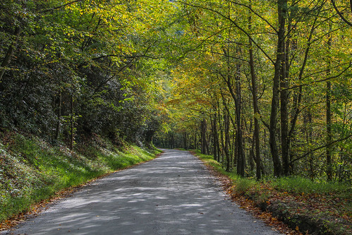
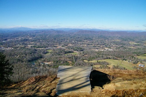
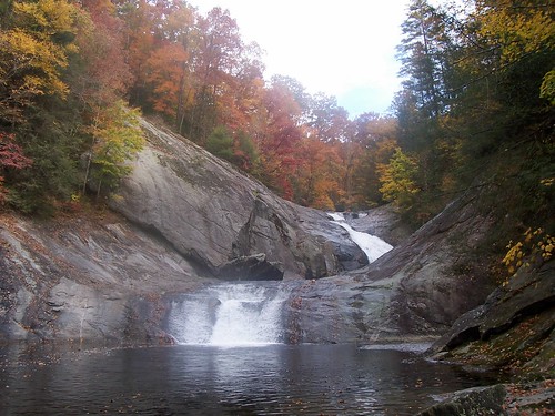
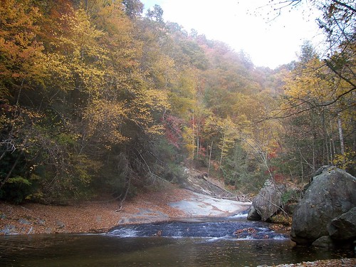
Elevation of Collettsville Rd, Lenoir, NC, USA
Location: United States > North Carolina > Caldwell County >
Longitude: -81.628197
Latitude: 35.9446129
Elevation: 403m / 1322feet
Barometric Pressure: 0KPa
Related Photos:
Topographic Map of Collettsville Rd, Lenoir, NC, USA
Find elevation by address:

Places near Collettsville Rd, Lenoir, NC, USA:
3440 Collettsville Rd
2020 Ada Williams Ln
3479 Leprechaun Ln
3479 Leprechaun Ln
4598 Pinefrost Pl
Abington Road
Bent Bow Drive
1202 Honeycomb Pl
1500 Red Cedar Way
Red Cedar Way
Walnut Ridge Drive
Walnut Ridge Drive
1314 Round Mountain Pkwy
Mulberry
2002 Johns Ridge Pkwy
4008 Rocky Rd
2020 Johns Ridge Pkwy
The Coves Mountain River Club
3980 Rocky Rd
Roby Martin Road
Recent Searches:
- Elevation map of Greenland, Greenland
- Elevation of Sullivan Hill, New York, New York, 10002, USA
- Elevation of Morehead Road, Withrow Downs, Charlotte, Mecklenburg County, North Carolina, 28262, USA
- Elevation of 2800, Morehead Road, Withrow Downs, Charlotte, Mecklenburg County, North Carolina, 28262, USA
- Elevation of Yangbi Yi Autonomous County, Yunnan, China
- Elevation of Pingpo, Yangbi Yi Autonomous County, Yunnan, China
- Elevation of Mount Malong, Pingpo, Yangbi Yi Autonomous County, Yunnan, China
- Elevation map of Yongping County, Yunnan, China
- Elevation of North 8th Street, Palatka, Putnam County, Florida, 32177, USA
- Elevation of 107, Big Apple Road, East Palatka, Putnam County, Florida, 32131, USA
- Elevation of Jiezi, Chongzhou City, Sichuan, China
- Elevation of Chongzhou City, Sichuan, China
- Elevation of Huaiyuan, Chongzhou City, Sichuan, China
- Elevation of Qingxia, Chengdu, Sichuan, China
- Elevation of Corso Fratelli Cairoli, 35, Macerata MC, Italy
- Elevation of Tallevast Rd, Sarasota, FL, USA
- Elevation of 4th St E, Sonoma, CA, USA
- Elevation of Black Hollow Rd, Pennsdale, PA, USA
- Elevation of Oakland Ave, Williamsport, PA, USA
- Elevation of Pedrógão Grande, Portugal
