Elevation of Coglians
Location: Austria > Carinthia > Hermagor District > Gemeinde Lesachtal >
Longitude: 12.88092
Latitude: 46.6075696
Elevation: 2647m / 8684feet
Barometric Pressure: 73KPa
Elevation Map:
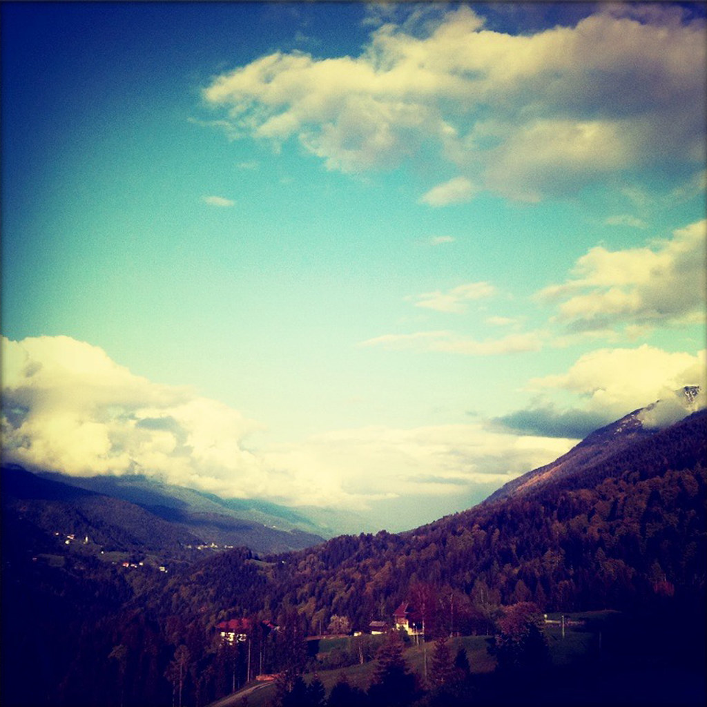
Satellite Map:
Related Photos:
Window view

_OMD0070 Panorama

"Scacco Matto" by Paola Garbellini (2010) [Ovaro - 24 August 2010]
Topographic Map of Coglians
Find elevation by address:

Places near Coglians:
Monte Crostis
Rigolato
Comeglians
Frazione Calgaretto, 29, Calgaretto UD, Italy
Calgaretto
Niedergail 2, Niedergail, Austria
Niedergail
Entrampo
Strada Statale, 47, Prato Carnico UD, Italy
Luincis
Avausa
Cercivento
Prato Carnico
Monte Zoncolan
Gemeinde Lesachtal
Via Aip, 7, Paluzza UD, Italy
Ovaro
Ovaro
Cercivento
Via di Sot, 23, Cercivento UD, Italy
Recent Searches:
- Elevation of Corso Fratelli Cairoli, 35, Macerata MC, Italy
- Elevation of Tallevast Rd, Sarasota, FL, USA
- Elevation of 4th St E, Sonoma, CA, USA
- Elevation of Black Hollow Rd, Pennsdale, PA, USA
- Elevation of Oakland Ave, Williamsport, PA, USA
- Elevation of Pedrógão Grande, Portugal
- Elevation of Klee Dr, Martinsburg, WV, USA
- Elevation of Via Roma, Pieranica CR, Italy
- Elevation of Tavkvetili Mountain, Georgia
- Elevation of Hartfords Bluff Cir, Mt Pleasant, SC, USA