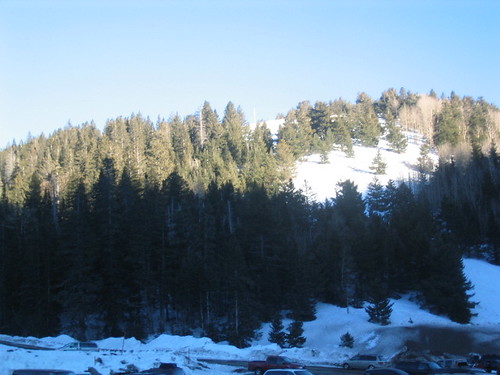
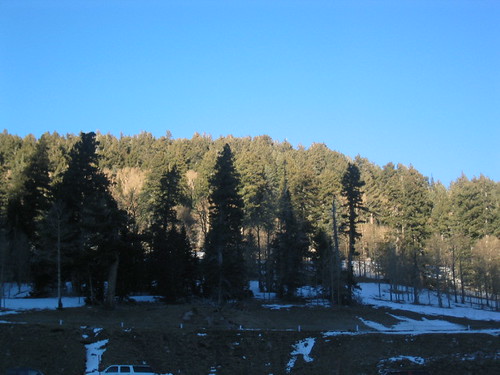
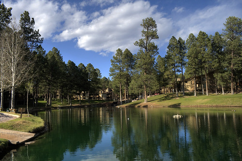
Elevation of Coe Canyon Rd, Ruidoso Downs, NM, USA
Location: United States > New Mexico > Lincoln County > Ruidoso Downs >
Longitude: -105.50588
Latitude: 33.3197656
Elevation: 2190m / 7185feet
Barometric Pressure: 78KPa
Related Photos:
Topographic Map of Coe Canyon Rd, Ruidoso Downs, NM, USA
Find elevation by address:

Places near Coe Canyon Rd, Ruidoso Downs, NM, USA:
26355 Us-70
Hightower Mountain
Ruidoso Downs
136 Wood Ln
26137 Us-70
290 Eagle Creek Canyon
Gavilan Ridge
26060 Us-70
Pinecliff Village Resort
525 Gavilan Canyon Rd
508 Sudderth Dr
Gavilan Canyon Road
Moon Mountain
Ruidoso High School
220 Crown Dr
117 Debord Dr
605 White Mountain Meadows Dr
427 White Mountain Meadows Dr
109 Timberon Trail
Dude Mesa
Recent Searches:
- Elevation of Corso Fratelli Cairoli, 35, Macerata MC, Italy
- Elevation of Tallevast Rd, Sarasota, FL, USA
- Elevation of 4th St E, Sonoma, CA, USA
- Elevation of Black Hollow Rd, Pennsdale, PA, USA
- Elevation of Oakland Ave, Williamsport, PA, USA
- Elevation of Pedrógão Grande, Portugal
- Elevation of Klee Dr, Martinsburg, WV, USA
- Elevation of Via Roma, Pieranica CR, Italy
- Elevation of Tavkvetili Mountain, Georgia
- Elevation of Hartfords Bluff Cir, Mt Pleasant, SC, USA

