Elevation map of Codajás - State of Amazonas, Brazil
Location: Brazil > State Of Amazonas >
Longitude: -62.061092
Latitude: -3.8398302
Elevation: 31m / 102feet
Barometric Pressure: 101KPa
Elevation Map:
Satellite Map:
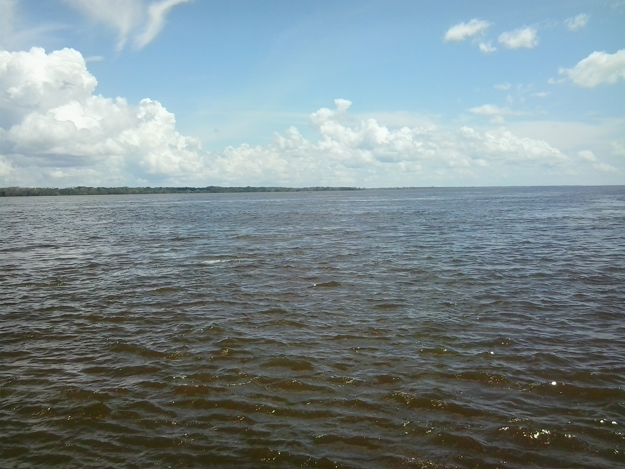
Related Photos:
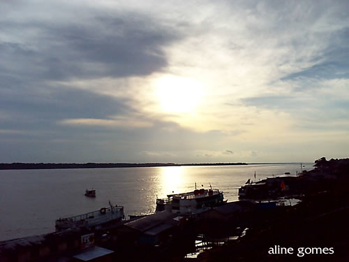
Codajás
Municipio de Codajás - Amazonas
Cópia de AMAZÔNIA CODAJÁS.Photos Jimmy Christian (10)
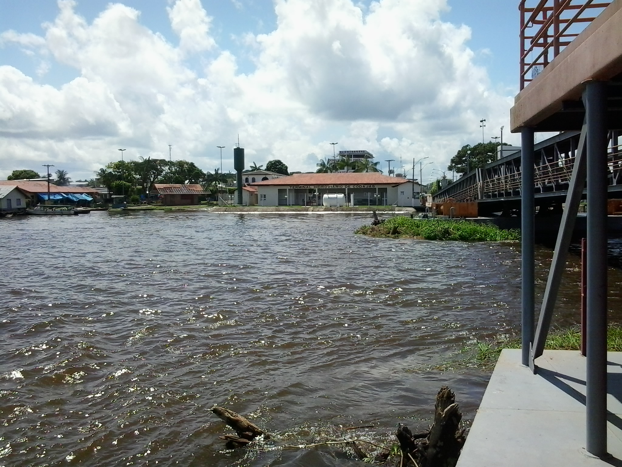
Codajás

Municipio de Codajás - Amazonas
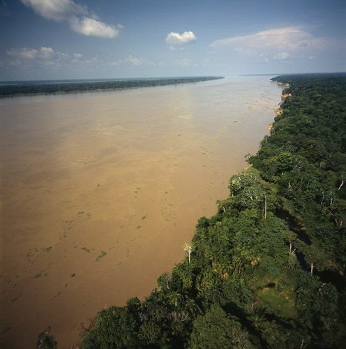
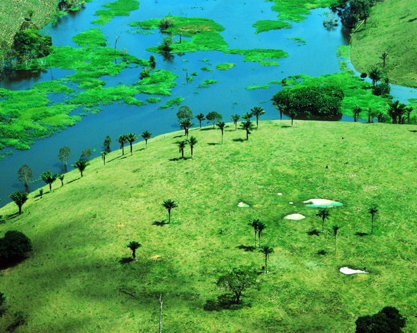
Solimões/Solimões River
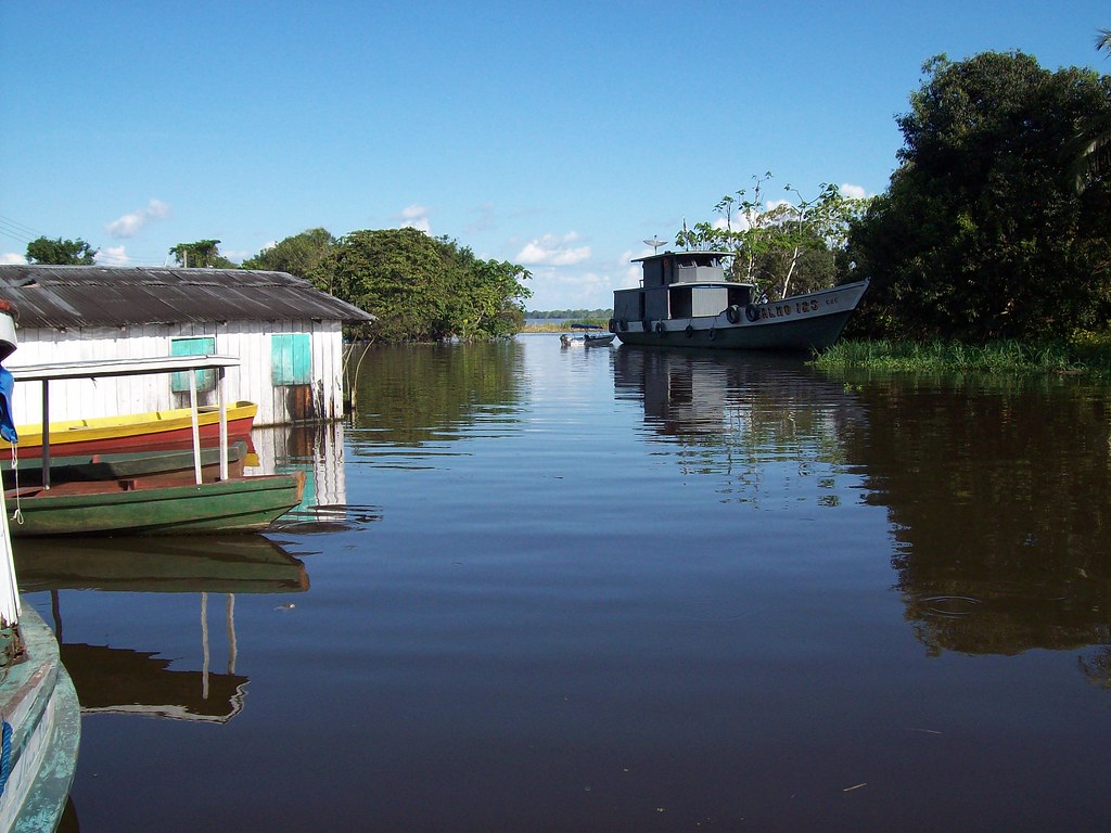
Municipio de Codajás - Amazonas

Nativos de Codajas
Topographic Map of Codajás - State of Amazonas, Brazil
Find elevation by address:

Places in Codajás - State of Amazonas, Brazil:
Places near Codajás - State of Amazonas, Brazil:
Recent Searches:
- Elevation of Corso Fratelli Cairoli, 35, Macerata MC, Italy
- Elevation of Tallevast Rd, Sarasota, FL, USA
- Elevation of 4th St E, Sonoma, CA, USA
- Elevation of Black Hollow Rd, Pennsdale, PA, USA
- Elevation of Oakland Ave, Williamsport, PA, USA
- Elevation of Pedrógão Grande, Portugal
- Elevation of Klee Dr, Martinsburg, WV, USA
- Elevation of Via Roma, Pieranica CR, Italy
- Elevation of Tavkvetili Mountain, Georgia
- Elevation of Hartfords Bluff Cir, Mt Pleasant, SC, USA