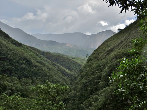
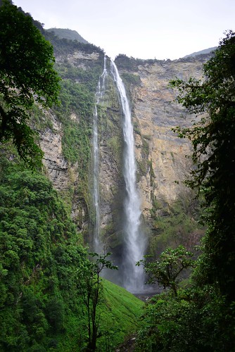
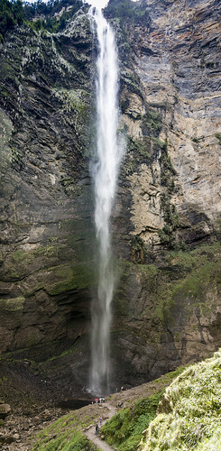
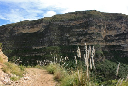
Elevation of Cocachimba, Peru
Location: Peru > Amazonas > Bongará Province >
Longitude: -77.894246
Latitude: -6.0580775
Elevation: 1809m / 5935feet
Barometric Pressure: 81KPa
Related Photos:
Topographic Map of Cocachimba, Peru
Find elevation by address:

Places near Cocachimba, Peru:
Gocta Waterfall
San Carlos
The Caverns Of Quiocta
Huancas
Bongará Province
Chachapoyas Province
Chachapoyas
Huembo Lodge
Pomacochas
Fortaleza De Kuelap
Fundo Alto Nieva
Luya Province
5N 81, Peru
Bagua Grande
Leimebamba District
Balsas District
Celendín
Celendín Province
Av La Purisima, José Gálvez, Peru
Yanacocha
Recent Searches:
- Elevation of Corso Fratelli Cairoli, 35, Macerata MC, Italy
- Elevation of Tallevast Rd, Sarasota, FL, USA
- Elevation of 4th St E, Sonoma, CA, USA
- Elevation of Black Hollow Rd, Pennsdale, PA, USA
- Elevation of Oakland Ave, Williamsport, PA, USA
- Elevation of Pedrógão Grande, Portugal
- Elevation of Klee Dr, Martinsburg, WV, USA
- Elevation of Via Roma, Pieranica CR, Italy
- Elevation of Tavkvetili Mountain, Georgia
- Elevation of Hartfords Bluff Cir, Mt Pleasant, SC, USA


