Elevation map of Cobar NSW, Australia

Location: Australia > New South Wales >

Longitude: 145.840170

Latitude: -31.494930

Elevation: 242m / 794feet

Barometric Pressure: 98KPa

Elevation Map:

elevation map of Cobar NSW, Australia

Satellite Map:

Satellite map of Cobar NSW, Australia

Related Photos:

sky night stars pentax australia k5 milkyway cobar pentaxda15mmlimited
Cobar Milky Way (Explored)
Departing Cobar
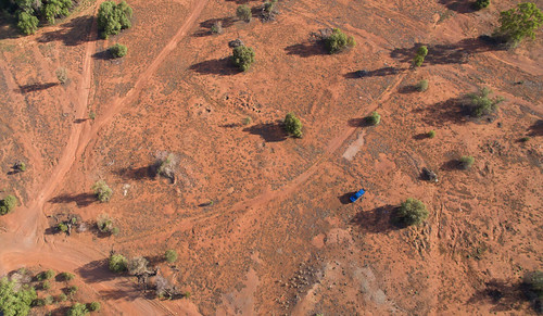
dji phantom3advanced fc300s quadcopter drone aerial desert vehicle tracks cobar
Which way?
Gold mine open cut section Cobar, Nsw
Gold mine open cut section air vent Cobar, Nsw
night truck landscape streetlight outdoor australia bin handheld newsouthwales dreamlike 32 tinted exhausted rigs 2048 dissapear cobar camera:make=canon exif:make=canon geo:country=australia canoneos5dmarkii geo:state=newsouthwales camera:model=canoneos5dmarkii gavowen exif:model=canoneos5dmarkii exif:aperture=ƒ40 canonef70300mmf456lisusm exif:lens=ef70300mmf456lisusm geo:city=cobar exif:isospeed=3200 exif:focallength=79mm geo:lat=31496878333333 geo:location=96marshallstcobarnsw2835australia geo:lon=14582718166667
Truck Stop. 1am
Gold mine open cut Cobar, Nsw
gold nikon mine wide australia wideangle tokina nsw d90 cobar nikond90 1116mm tokina1116mmf28 tokina1116mm tokinaaf1116mmf28 wtrip09 tokinaatxprodx imagespace:hasdirection=false
Now that is a Hole in the Ground
square squareformat iphoneography instagramapp uploaded:by=instagram
The new Cobar open cut gold mine. Gorgeous and ugly at the same time.
sunset desert australia roadtrip nsw newsouthwales outback cobar westernnsw westernnewsouthwales fortbourkehill kelliejane kgbroadtrip westernnswwesternnewsouthwales fortbourkehilllookout opencutmineopenmine fortbourkehilllookoutandopencutmine
Kel and Brooke take on the West
mine outwest cobar
Cobar Mine
goats cobar
Feral goats, Cobar
mine outwest cobar
Cobar Mine
landscape au australia nsw 2014 cobar
Flowers next to an abandoned mine, Cobar, NSW