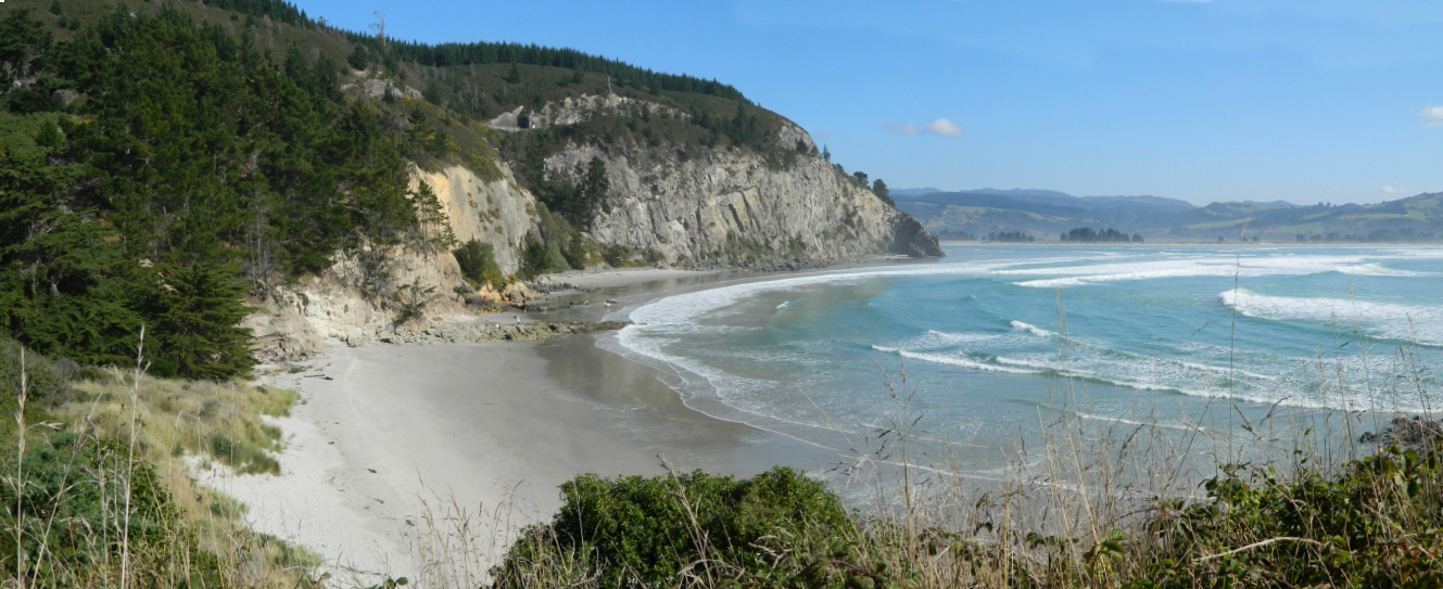
Elevation of Coast Rd, Karitane, New Zealand
Location: New Zealand > Otago > Karitane >
Longitude: 170.646311
Latitude: -45.622628
Elevation: 7m / 23feet
Barometric Pressure: 101KPa
Elevation Map:
Satellite Map:
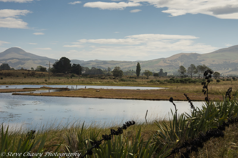
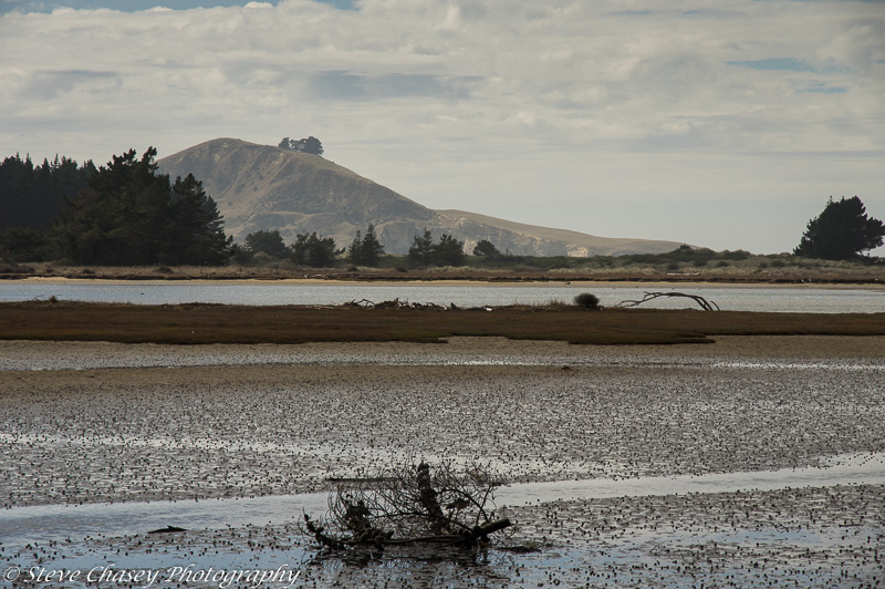
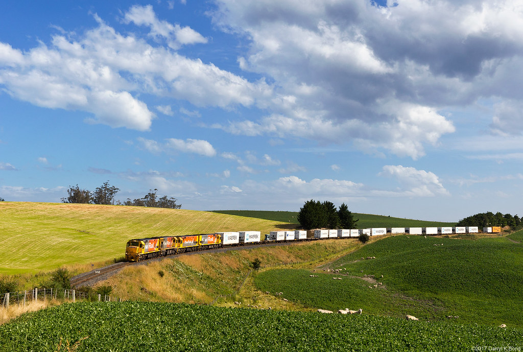
Related Photos:

Seat with a view
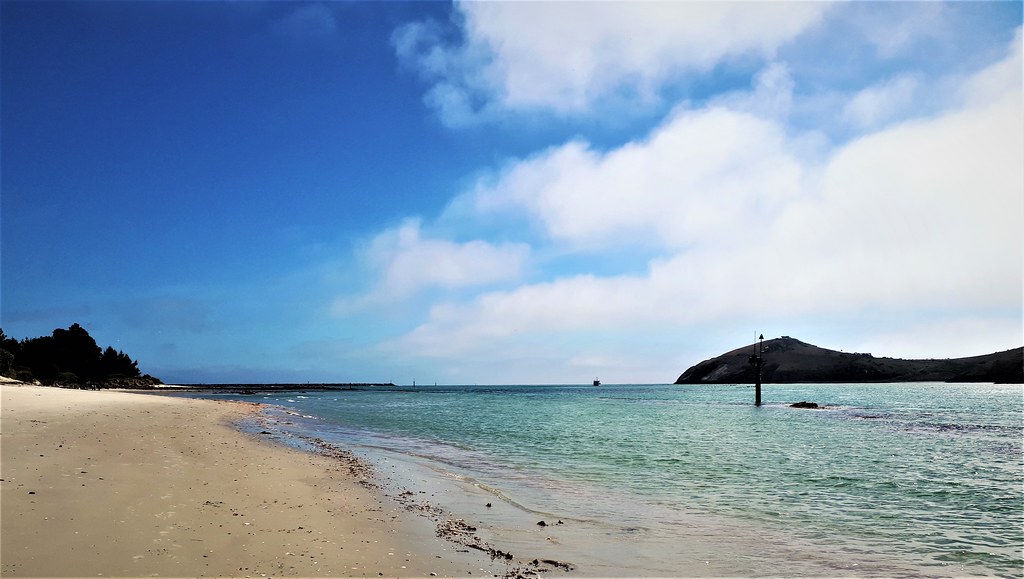
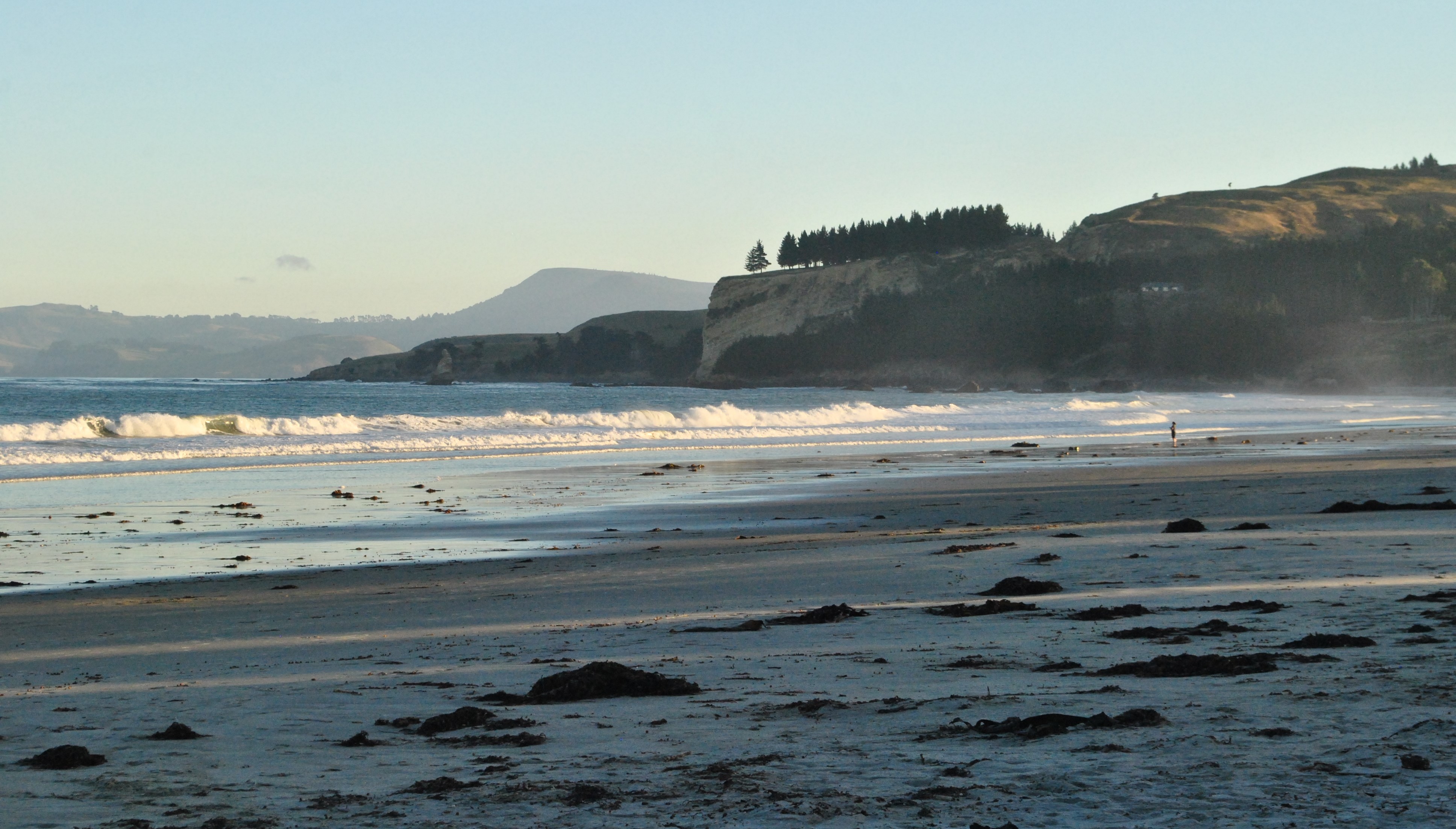
Butterfly Bay, Karitane
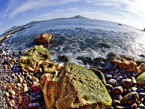
Mt Watkins

Dusk at Mapoutahi Pa (Goat Island) Blueskin Bay Otago
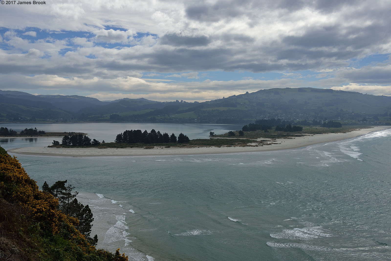
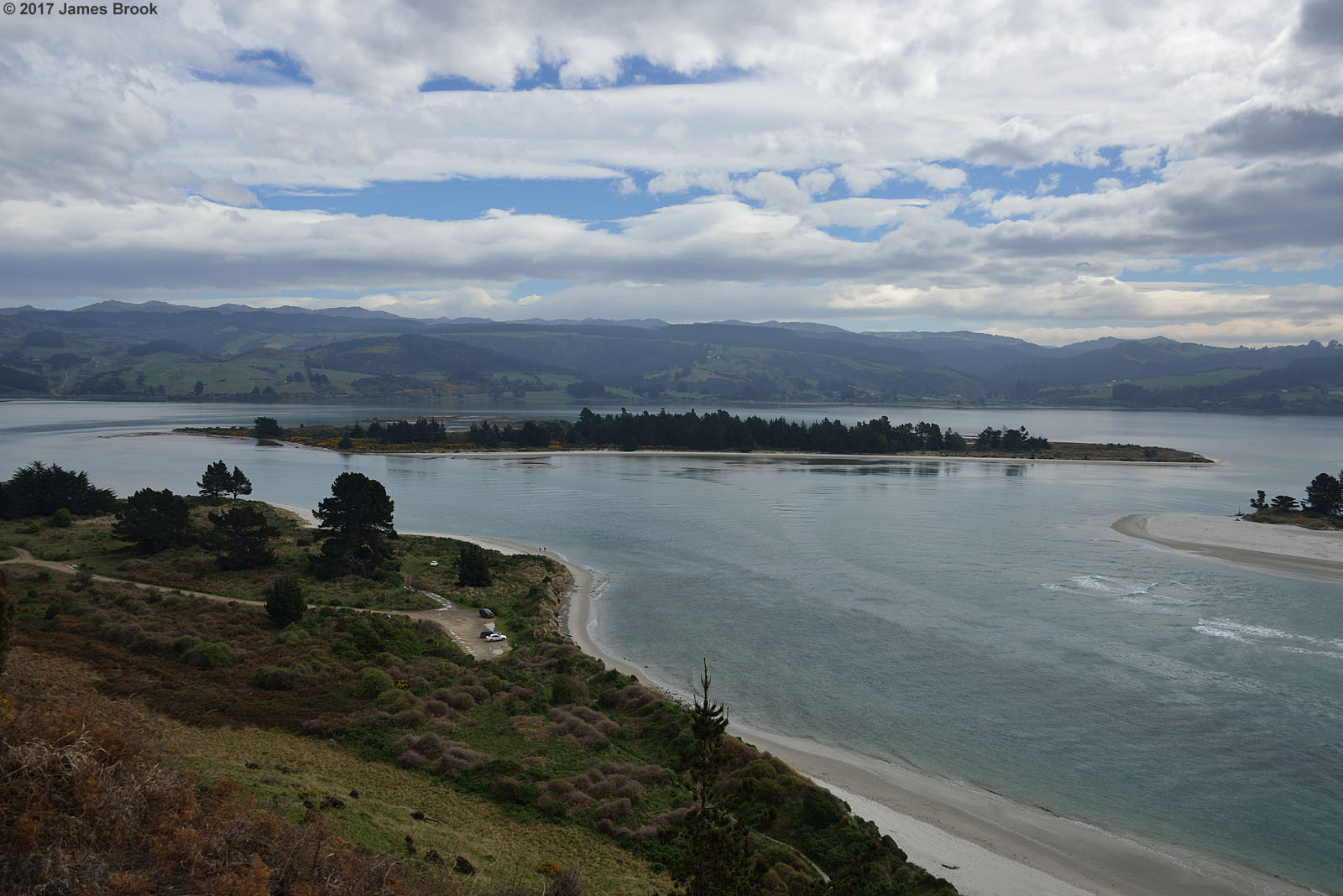
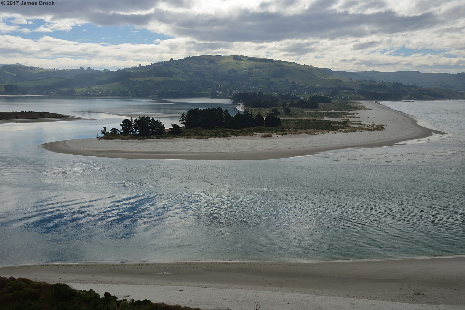
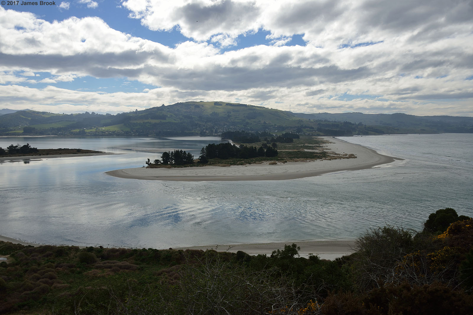
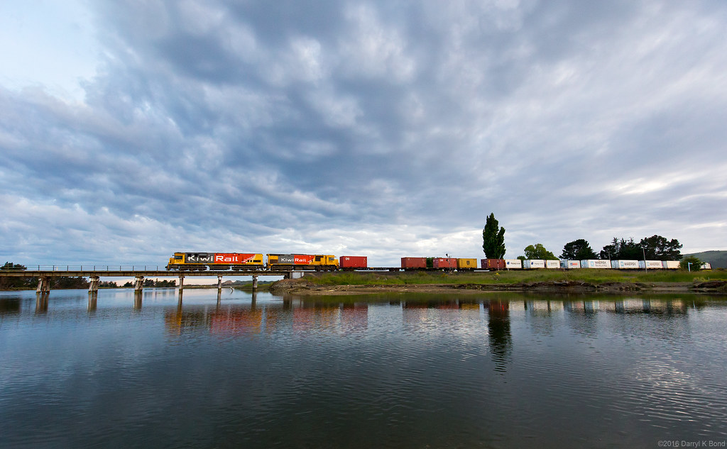
Blueskin Bay
64/118 Horizon
Room with a view
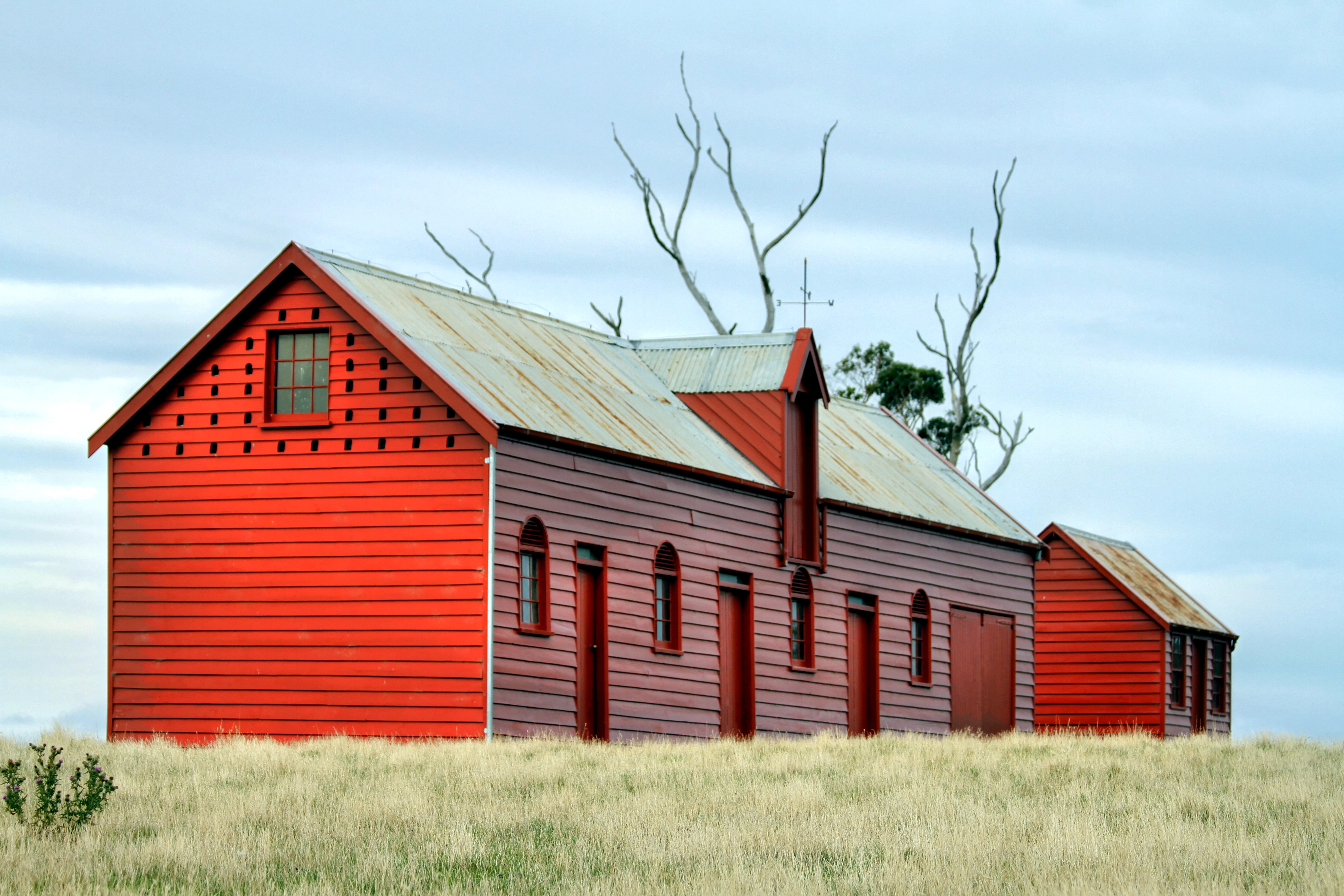
Old buildings, Matanaka, Waikouiti, Otago, New Zealand
Doctors Point to Osborne

From Goat Island (Mapoutahi Pa) towards Doctors Point Blueskin Bay Otago
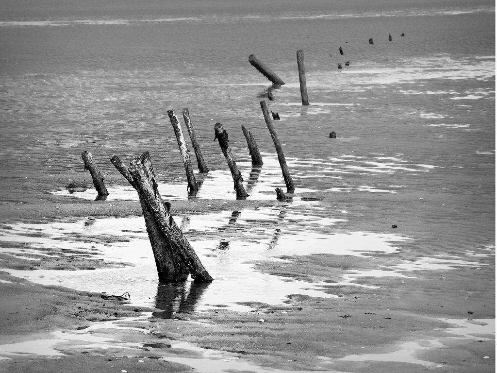
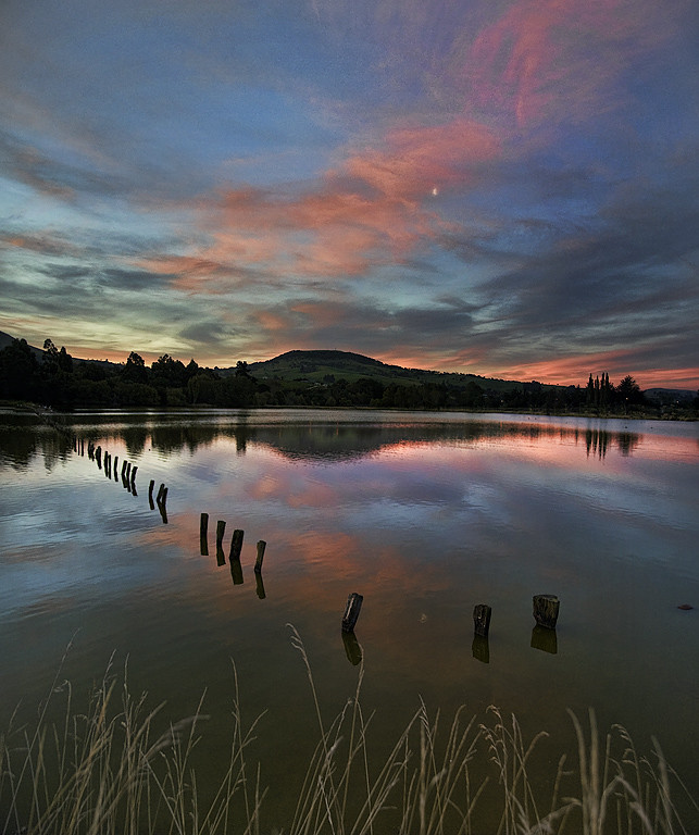
Tidal Posts
Blueskin Bay
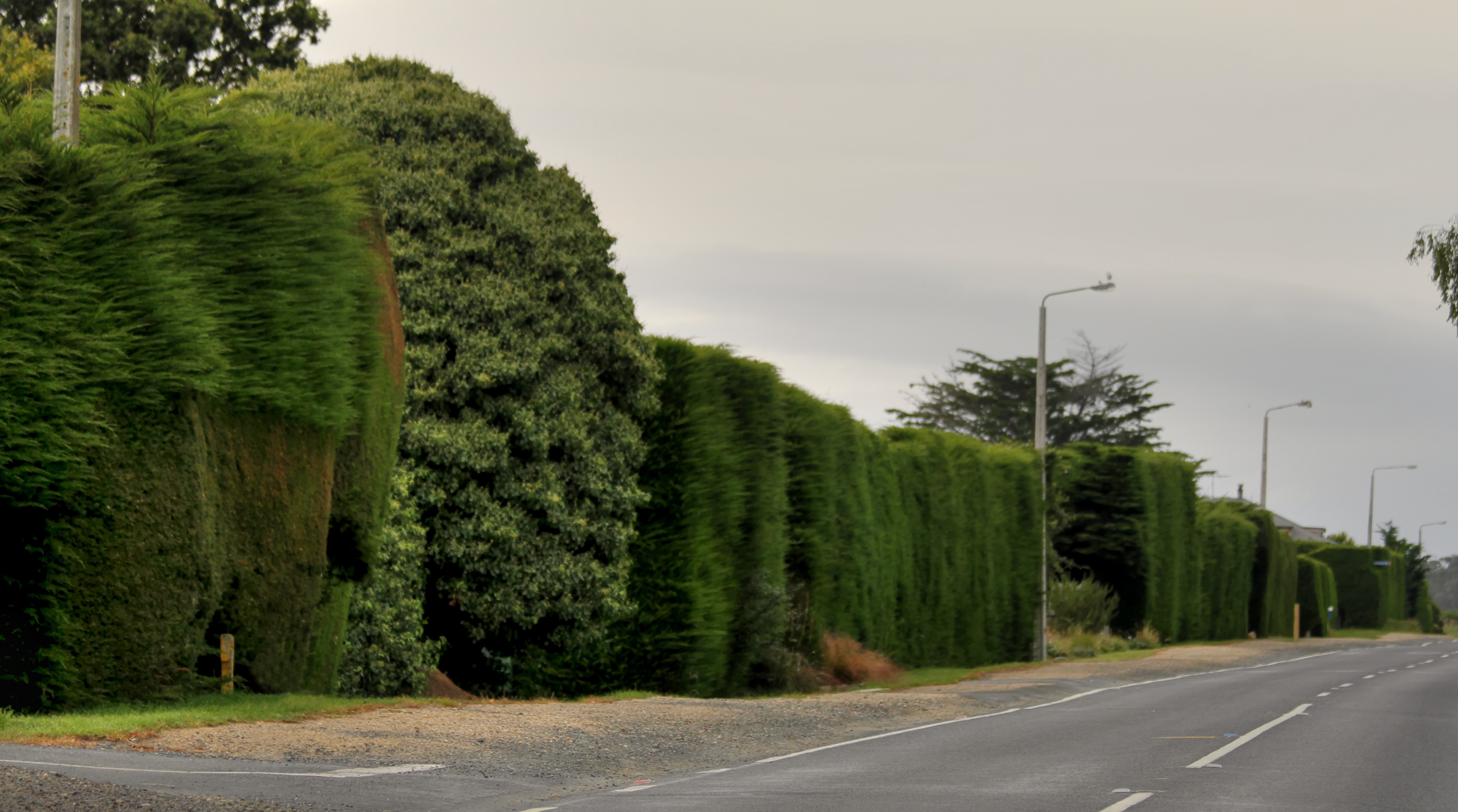
Macrocarpa hedges, Karitane, Otago, New Zealand

Doctors Point to Waitati
Blueskin Bay

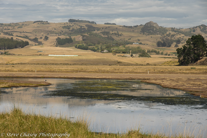
Purakaunui Inlet

Doctors Point to Waitati
Blueskin Bay
Blueskin Bay
Waitati to Doctors Point
Waitati to Doctors Point
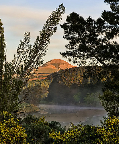
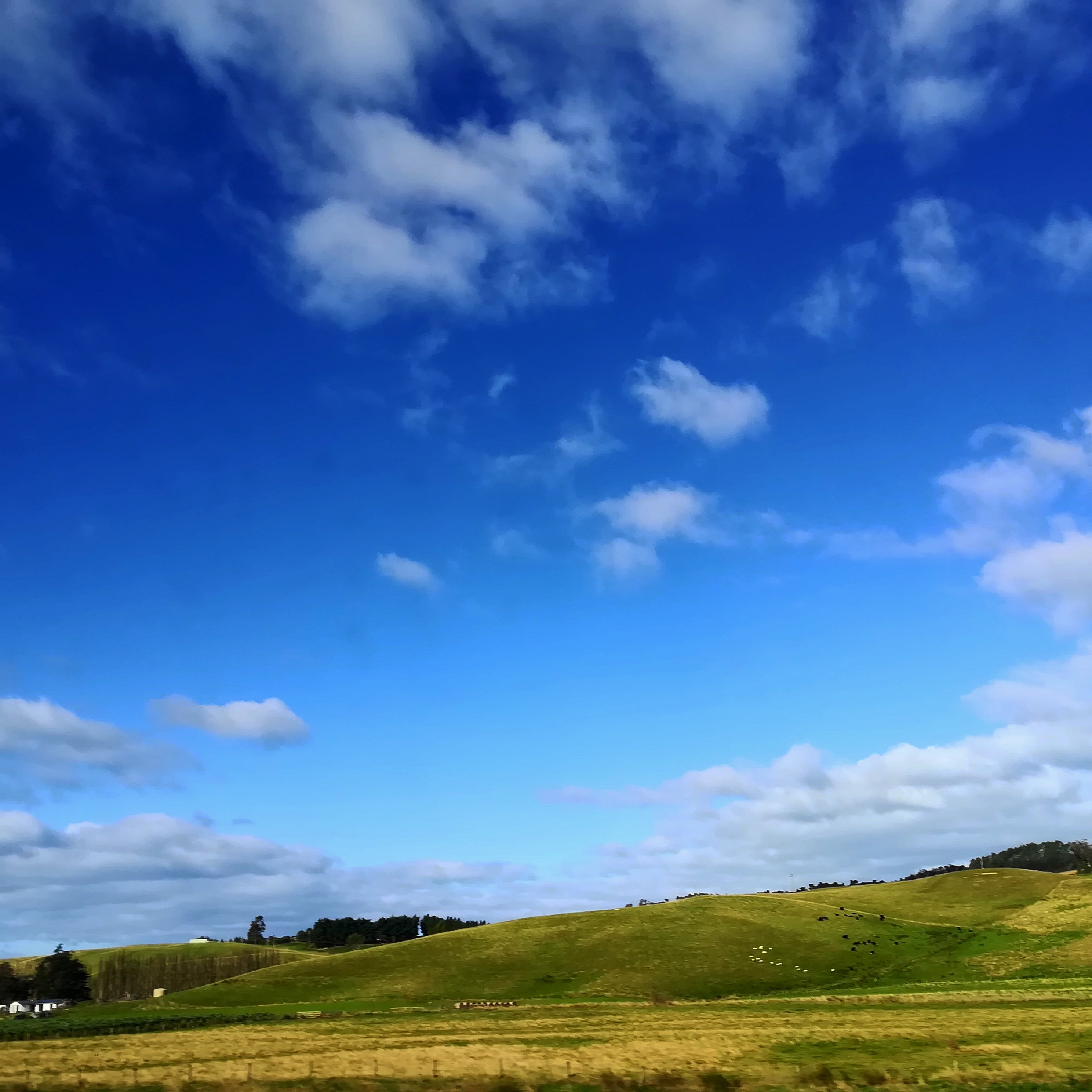
Hill and cloud
Sunset Vertorama

Doctors Point, Waitati, Otago, New Zealand, Jun 2013
Waikouaiti, NZ

Recorded in sand
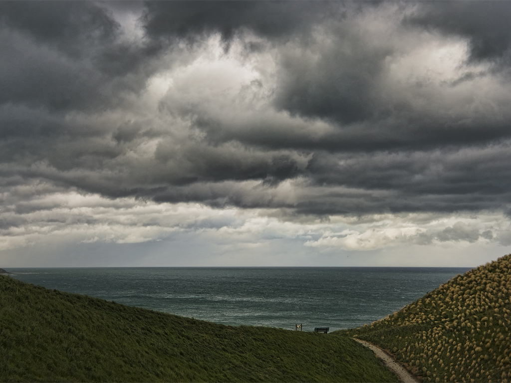
Seat in the Storm
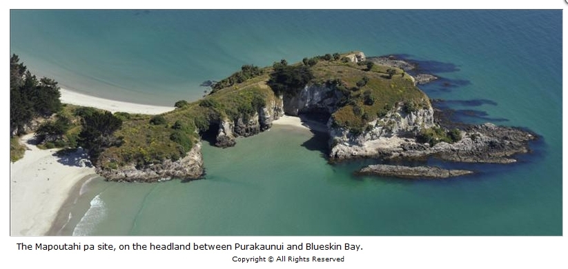
The Mapoutahi pa site, on the headland between Purakaunui and Blueskin Bay
K3-140316-049
K3-140316-051

Purakaunui Inlet Blueskin Bay Otago
Nicks of Time
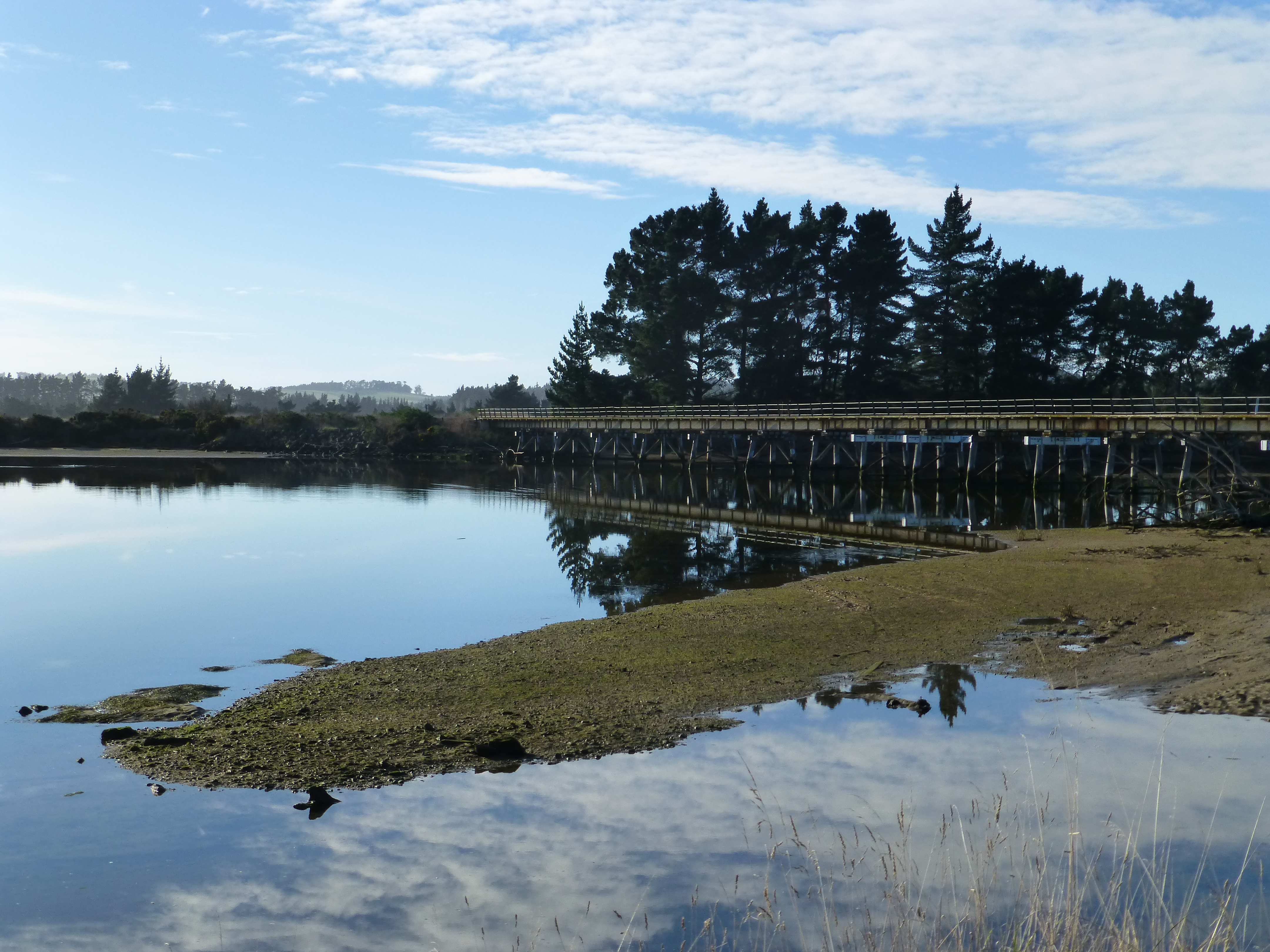
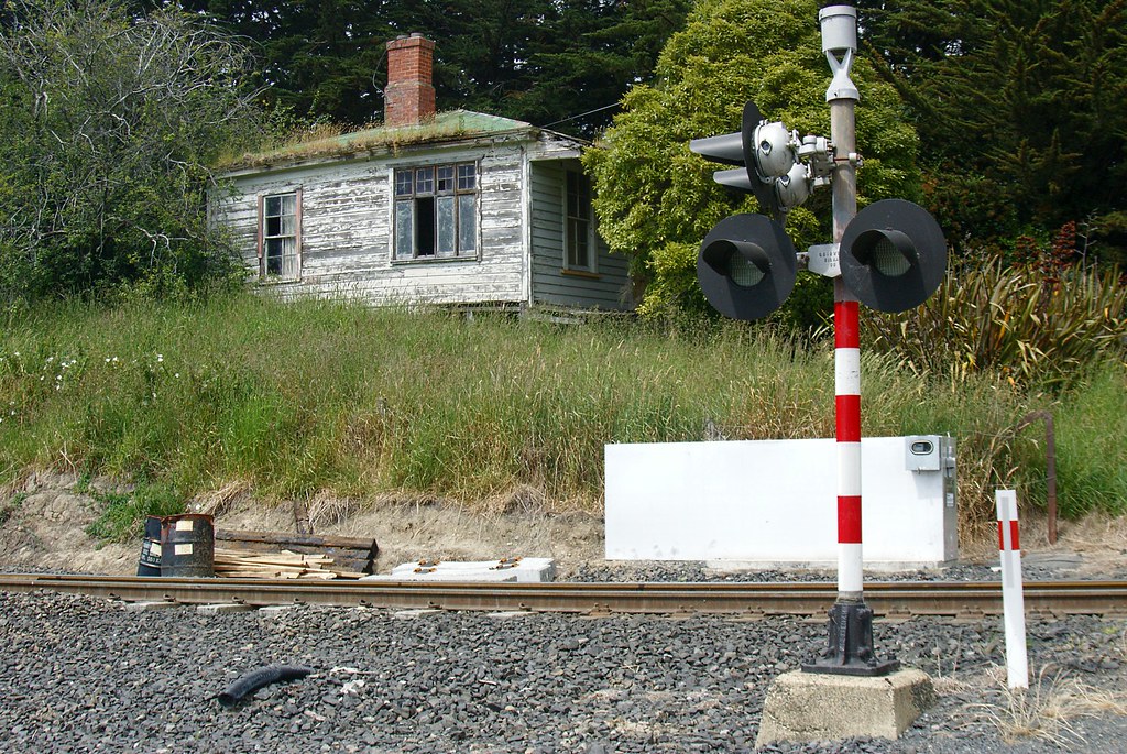
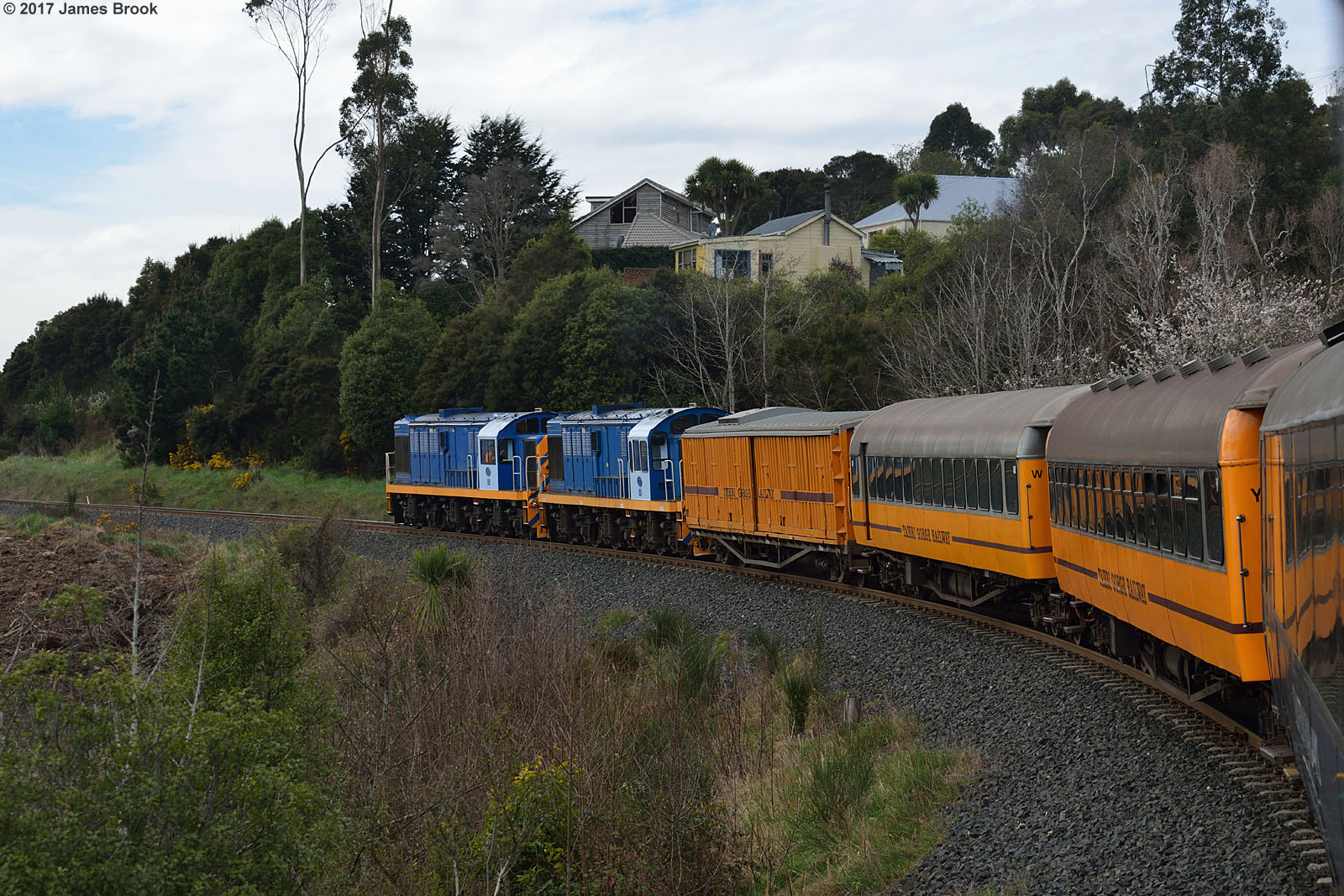
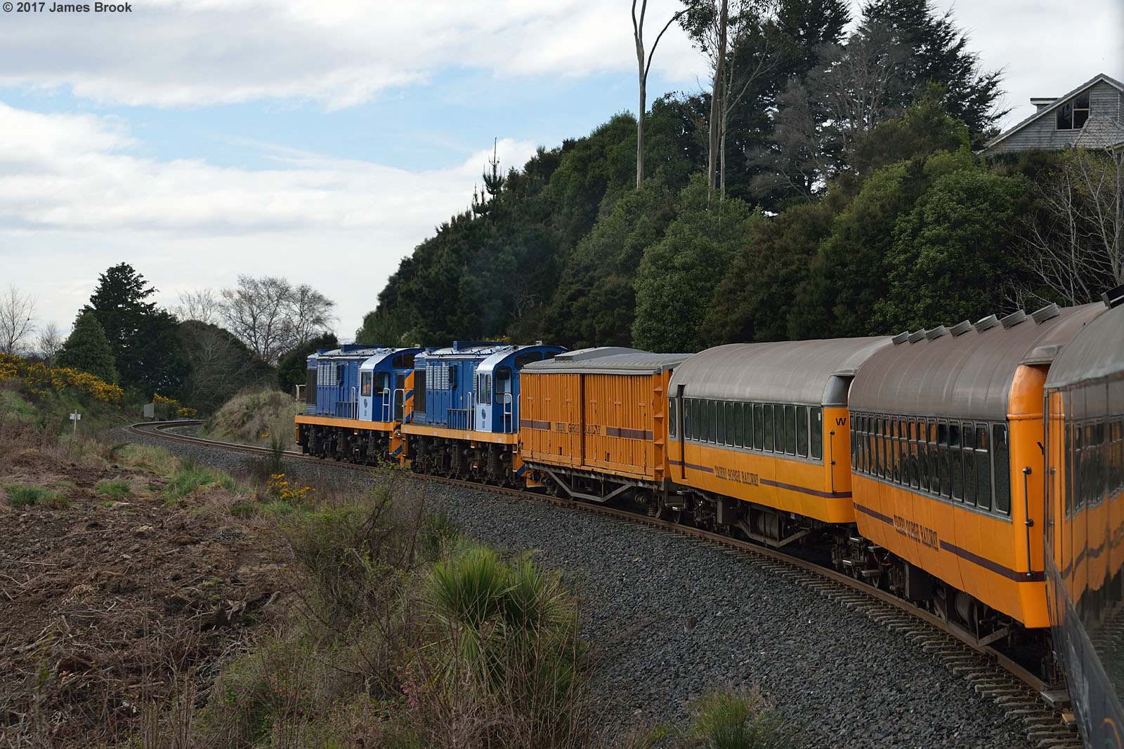
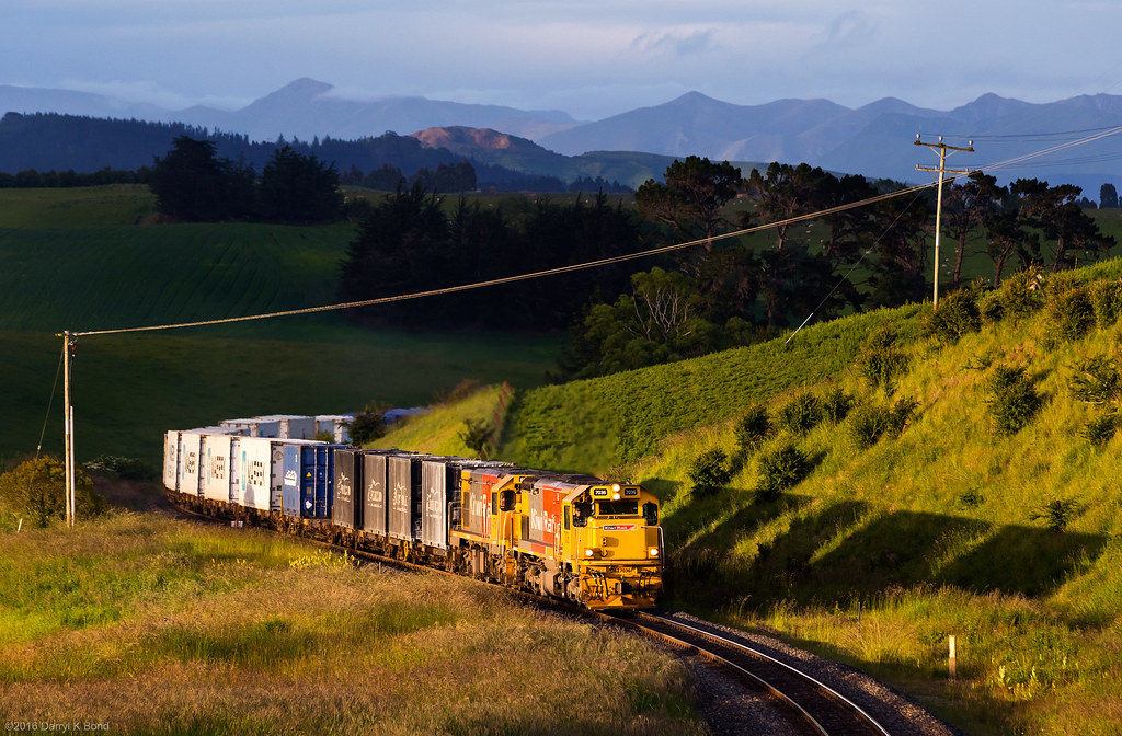
Rail bridge, Karitane
Slotted between the posts
Kriss Kross
K3-140316-048

Purakaunui Bay 26 July 2014
Puketeraki beach, la plage de Puketeraki, le soir.
From Mapoutahi (Canoe Beach Goat Island) Blueskin Bay towards Evansdale/Warrington Coastal Otago

Canoe Beach Blueskin Bay Purakaunui Otago
Topographic Map of Coast Rd, Karitane, New Zealand
Find elevation by address:

Places near Coast Rd, Karitane, New Zealand:
1415 Coast Rd
1413 Coast Road
27 Barra St
Karitane
59 Beach St
5 Thomas Street
21 Beach Street
37 Dame St
212 Main Road
27 Mount St
Waikouaiti
Church Road
46 Esplanade
Warrington
Crescent Street
Purakaunui
35 Mihiwaka Road
40 Mihiwaka Rd
21 Mihiwaka Road
23 Mihiwaka Road
Recent Searches:
- Elevation of Corso Fratelli Cairoli, 35, Macerata MC, Italy
- Elevation of Tallevast Rd, Sarasota, FL, USA
- Elevation of 4th St E, Sonoma, CA, USA
- Elevation of Black Hollow Rd, Pennsdale, PA, USA
- Elevation of Oakland Ave, Williamsport, PA, USA
- Elevation of Pedrógão Grande, Portugal
- Elevation of Klee Dr, Martinsburg, WV, USA
- Elevation of Via Roma, Pieranica CR, Italy
- Elevation of Tavkvetili Mountain, Georgia
- Elevation of Hartfords Bluff Cir, Mt Pleasant, SC, USA