Elevation of Co Rte 20/17, Rock Cave, WV, USA
Location: United States > West Virginia > Upshur County > Third > Rock Cave >
Longitude: -80.34662
Latitude: 38.772573
Elevation: 520m / 1706feet
Barometric Pressure: 95KPa
Elevation Map:
Satellite Map:
Related Photos:

Beekeeper Inn, Helvetia
Storm casualty
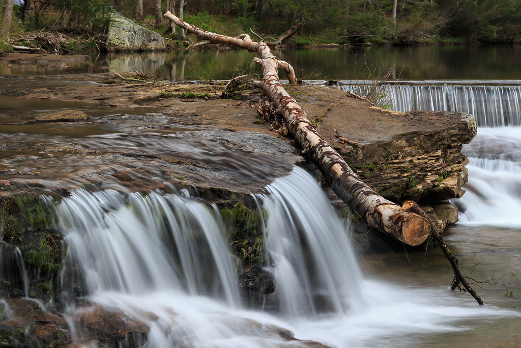
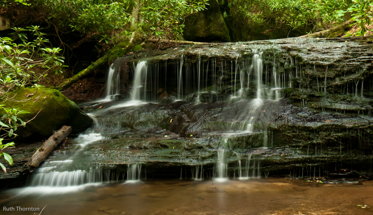
Upper Falls

Buckin' Beauty

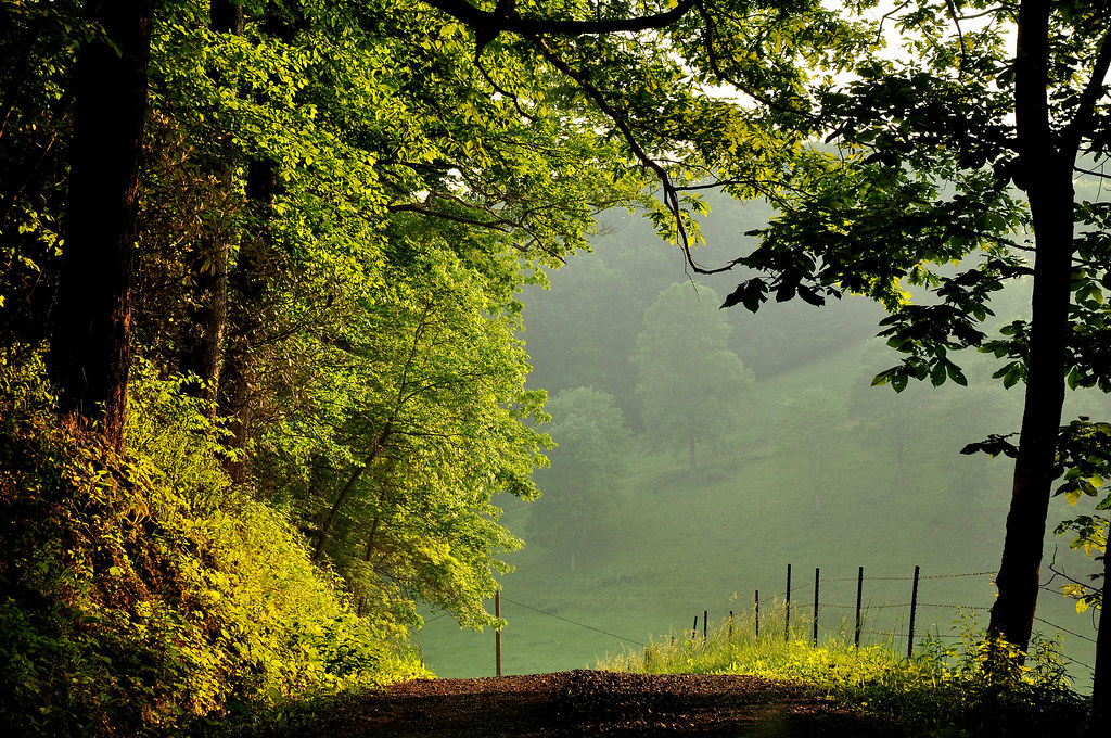
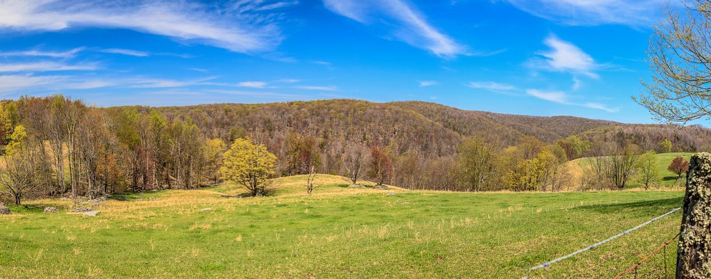
Appalachian Countryside
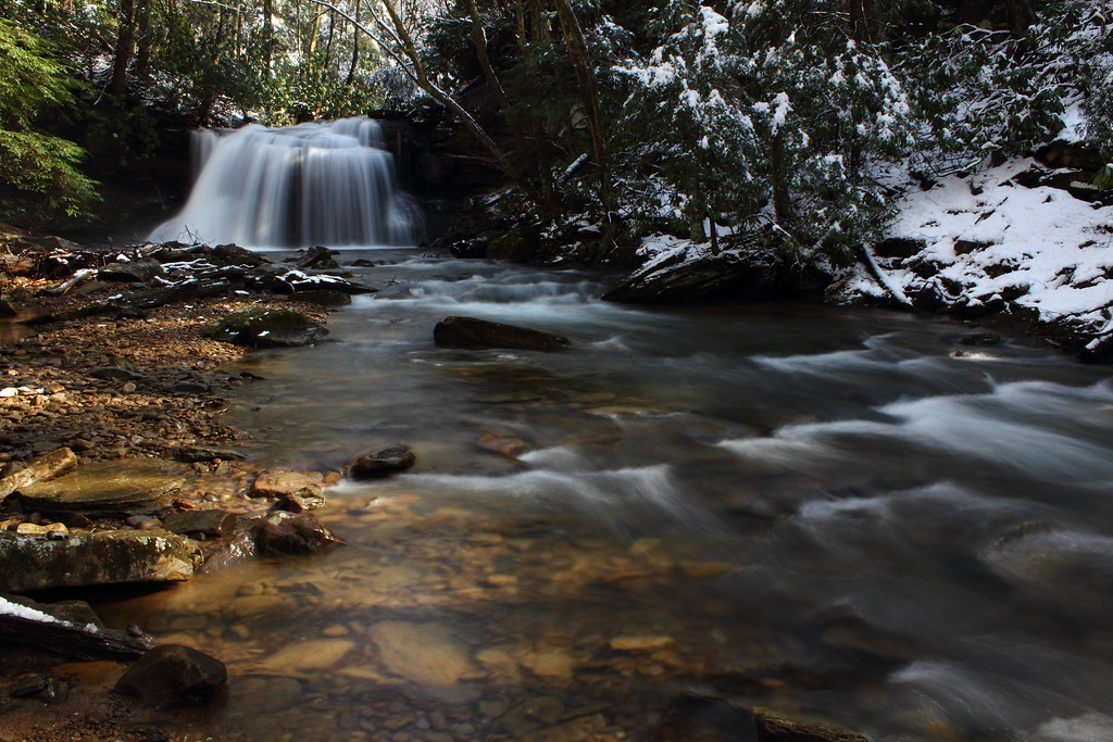
Upper Falls
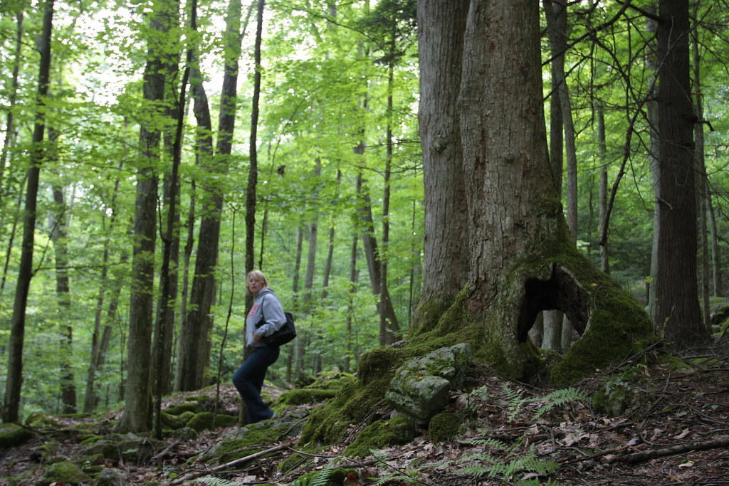
The Shadowlands
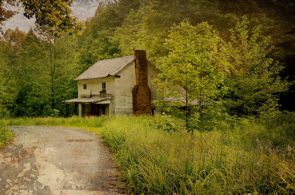
Once Called Home
Img0167 30-May-09
Img0186 30-May-09
Img0165 30-May-09
20110604-HollyRiver-065
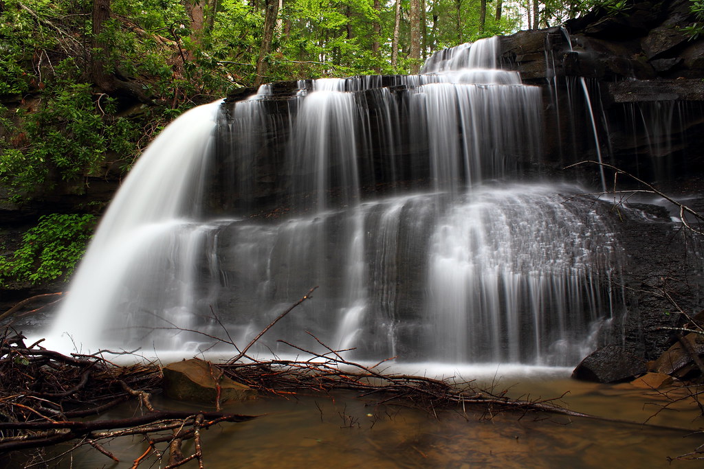
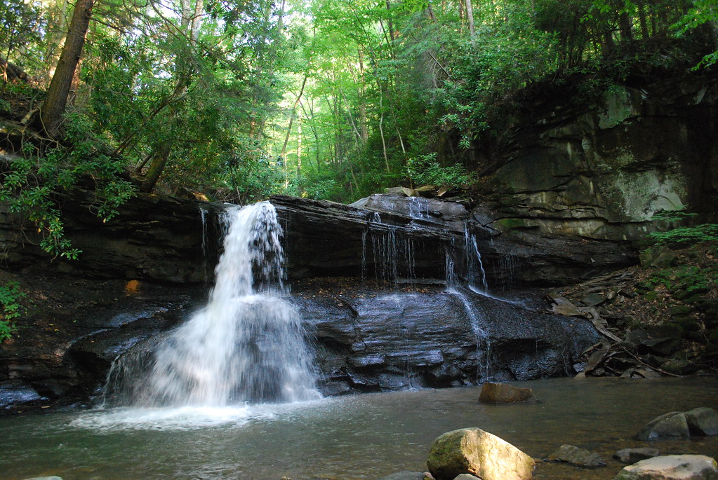
Upper Falls

Golden Dusk
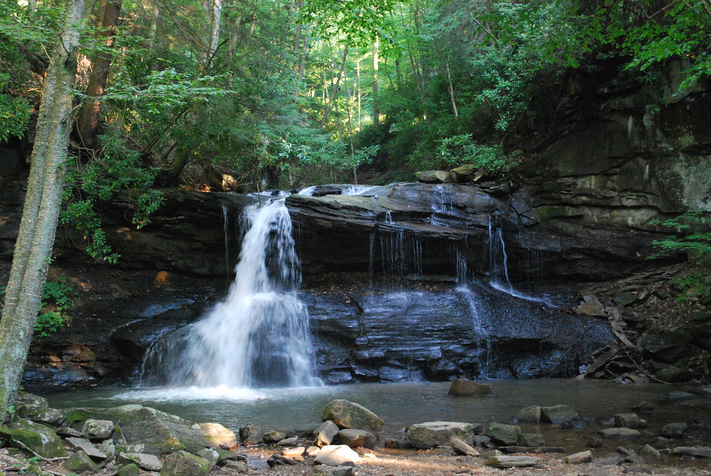
Upper Falls
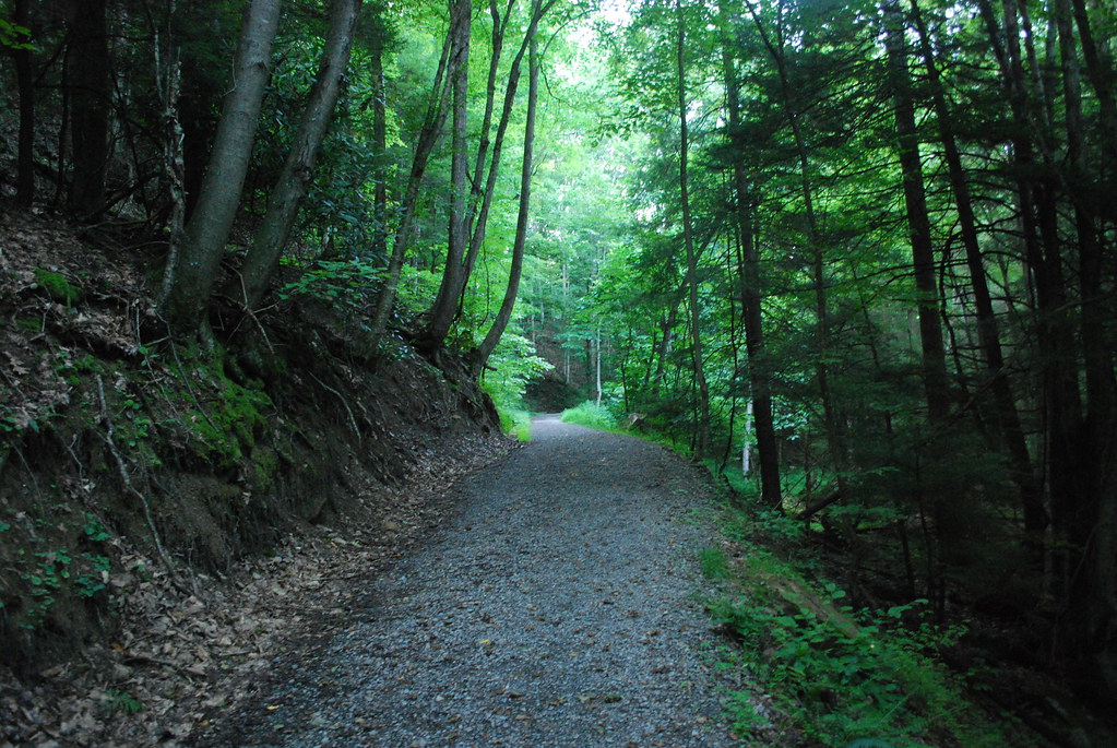
Path to Schupe's Chute

Through the Grass
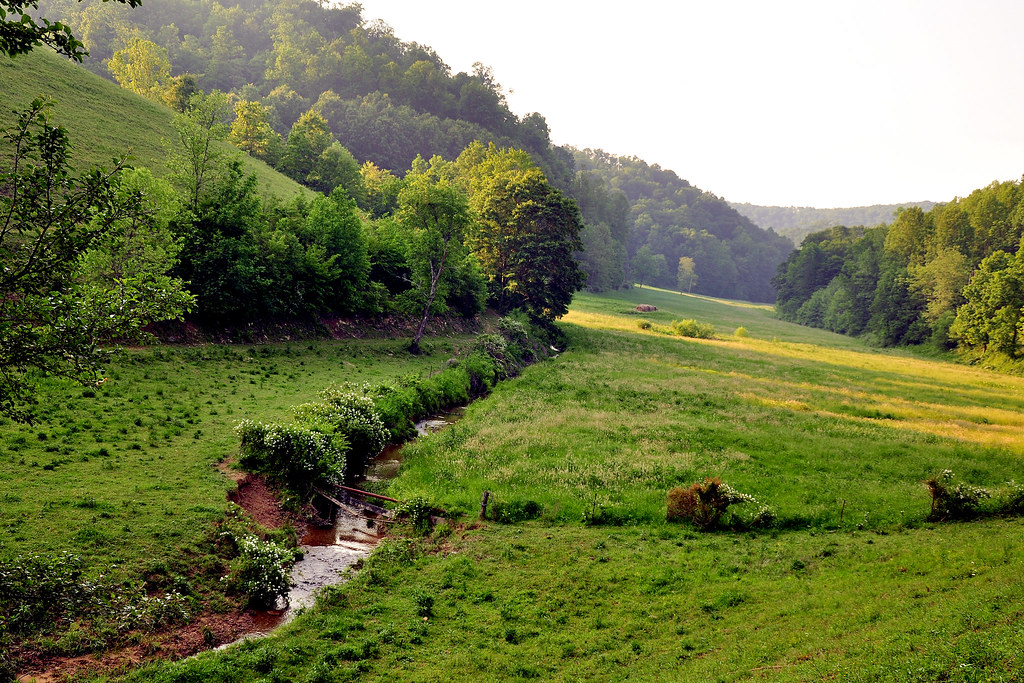
West Virginia Panorma from Balli Farm
Img0182 30-May-09
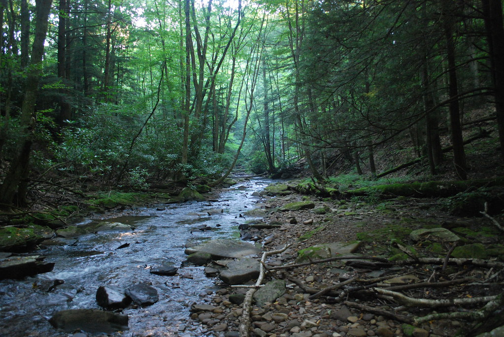
Fall Run
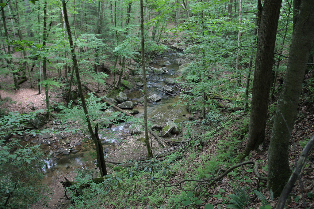
Streams of Living Water

WV state trip
Topographic Map of Co Rte 20/17, Rock Cave, WV, USA
Find elevation by address:

Places near Co Rte 20/17, Rock Cave, WV, USA:
6124 Heaston Ridge Rd
100 Gaines Rd
99 Gaines Rd
3256 Heaston Ridge Rd
3256 Heaston Ridge Rd
Canaan Road
5 Salem Ridge
372 Jr Burnside Rd
Bablin-Ingo Rd, Crawford, WV, USA
Rock Cave
2021 Bablin-ingo Rd
Goshen
2269 Selbyville Rd
Zoin Selbyville Rd, French Creek, WV, USA
429 Skeeter Hill Rd
Rock Cave, WV, USA
4723 Glady Creek Rd
4776 Glady Creek Rd
Replete Rd, Hacker Valley, WV, USA
908 Co Rte 11/11
Recent Searches:
- Elevation of Corso Fratelli Cairoli, 35, Macerata MC, Italy
- Elevation of Tallevast Rd, Sarasota, FL, USA
- Elevation of 4th St E, Sonoma, CA, USA
- Elevation of Black Hollow Rd, Pennsdale, PA, USA
- Elevation of Oakland Ave, Williamsport, PA, USA
- Elevation of Pedrógão Grande, Portugal
- Elevation of Klee Dr, Martinsburg, WV, USA
- Elevation of Via Roma, Pieranica CR, Italy
- Elevation of Tavkvetili Mountain, Georgia
- Elevation of Hartfords Bluff Cir, Mt Pleasant, SC, USA