Elevation of Co Rd, Santa Anna, TX, USA
Location: United States > Texas > Coleman County > Santa Anna >
Longitude: -99.229620
Latitude: 31.5865967
Elevation: 434m / 1424feet
Barometric Pressure: 96KPa
Elevation Map:
Satellite Map:
Related Photos:

Gouldbusk - EFE

Texas Sky

whon cemetery - whon, tx

Winchell, Texas

Our Fathers' Dreams

Whon - EFE 2
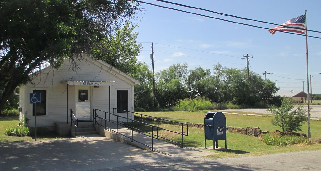
Post Office 76827 (Brookesmith, Texas)

Post Office 76827 (Brookesmith, Texas)
Brookesmith School Gymnasium (Brookesmith, Texas)

DSC02246.jpg
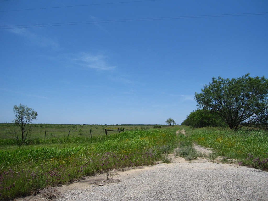
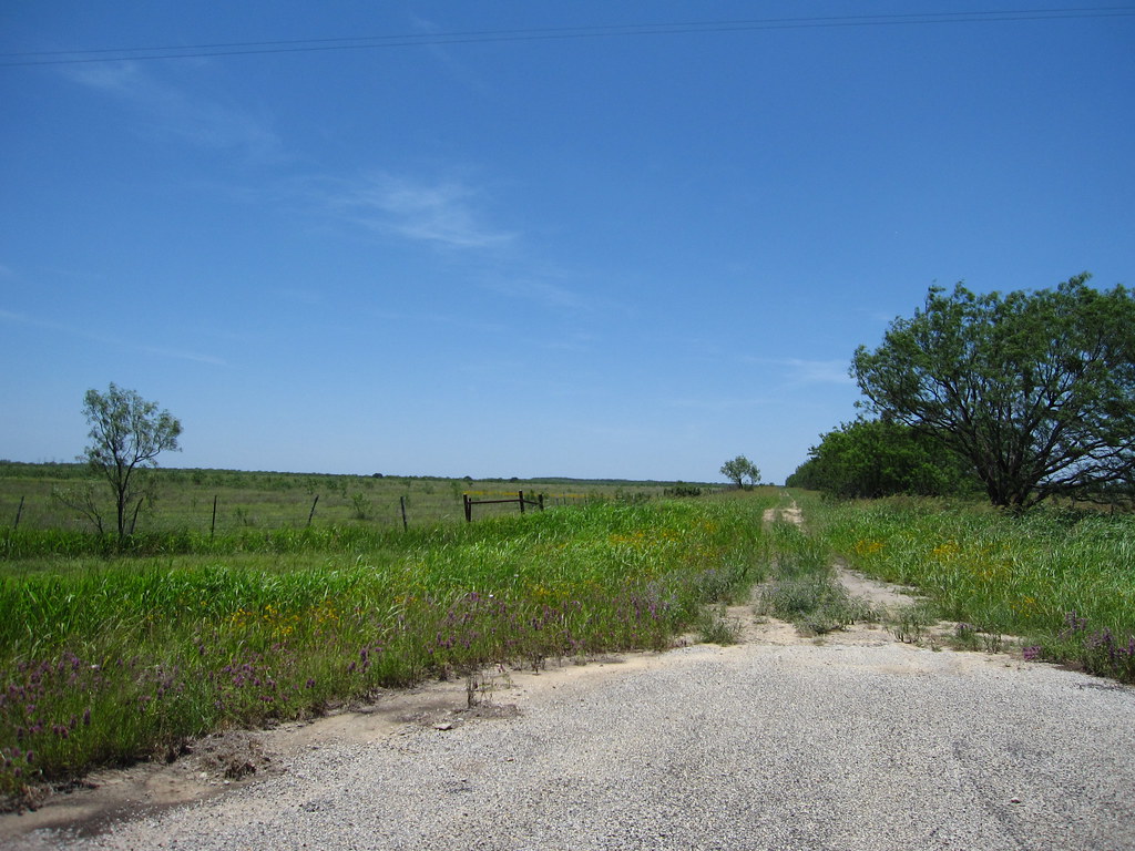
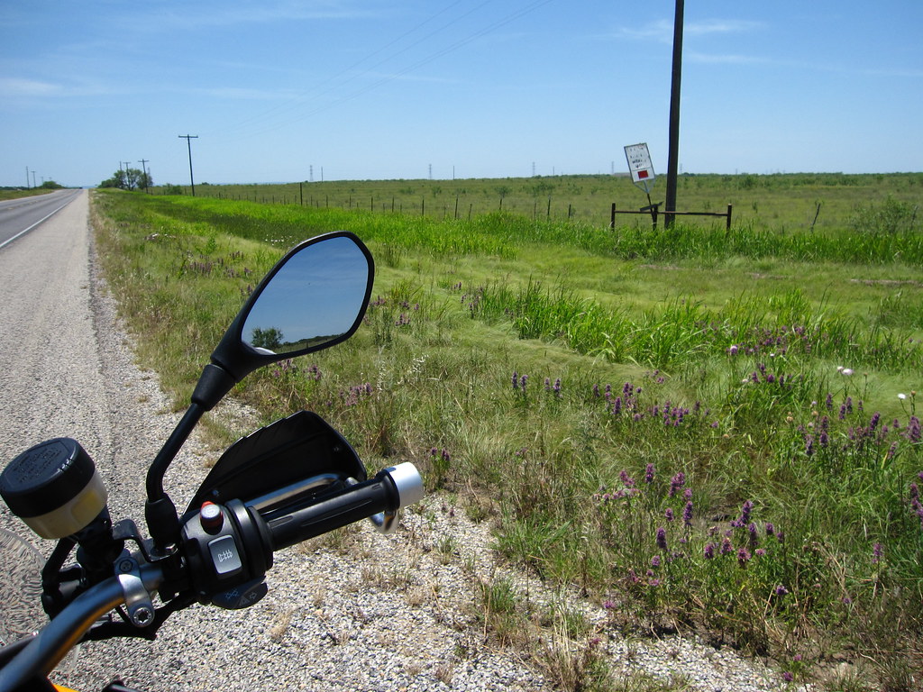
Coleman County Road

BNSF 4681 - Lampasas Sub
Old Gas Station (Winchell, Texas)
img_1023.jpg
img_1022.jpg

img_1021.jpg
img_1020.jpg

whon cemetery - whon, tx

whon cemetery - whon, tx

whon cemetery - whon, tx

whon cemetery - whon, tx
Topographic Map of Co Rd, Santa Anna, TX, USA
Find elevation by address:

Places near Co Rd, Santa Anna, TX, USA:
Brookesmith
150 Co Rd 258
Co Rd, Brookesmith, TX, USA
Bangs
Santa Anna
801 Wallis Ave
County Road
4440 Tx-279
FM, Brownwood, TX, USA
Brownwood
Coleman County
501 4th St
2501 4th St
Brookhollow Dr, Brownwood, TX, USA
10 TX-, Coleman, TX, USA
Temple Ave, Brownwood, TX, USA
FM, Brownwood, TX, USA
Coleman
Early
Waterfront Rd, Brownwood, TX, USA
Recent Searches:
- Elevation of Corso Fratelli Cairoli, 35, Macerata MC, Italy
- Elevation of Tallevast Rd, Sarasota, FL, USA
- Elevation of 4th St E, Sonoma, CA, USA
- Elevation of Black Hollow Rd, Pennsdale, PA, USA
- Elevation of Oakland Ave, Williamsport, PA, USA
- Elevation of Pedrógão Grande, Portugal
- Elevation of Klee Dr, Martinsburg, WV, USA
- Elevation of Via Roma, Pieranica CR, Italy
- Elevation of Tavkvetili Mountain, Georgia
- Elevation of Hartfords Bluff Cir, Mt Pleasant, SC, USA