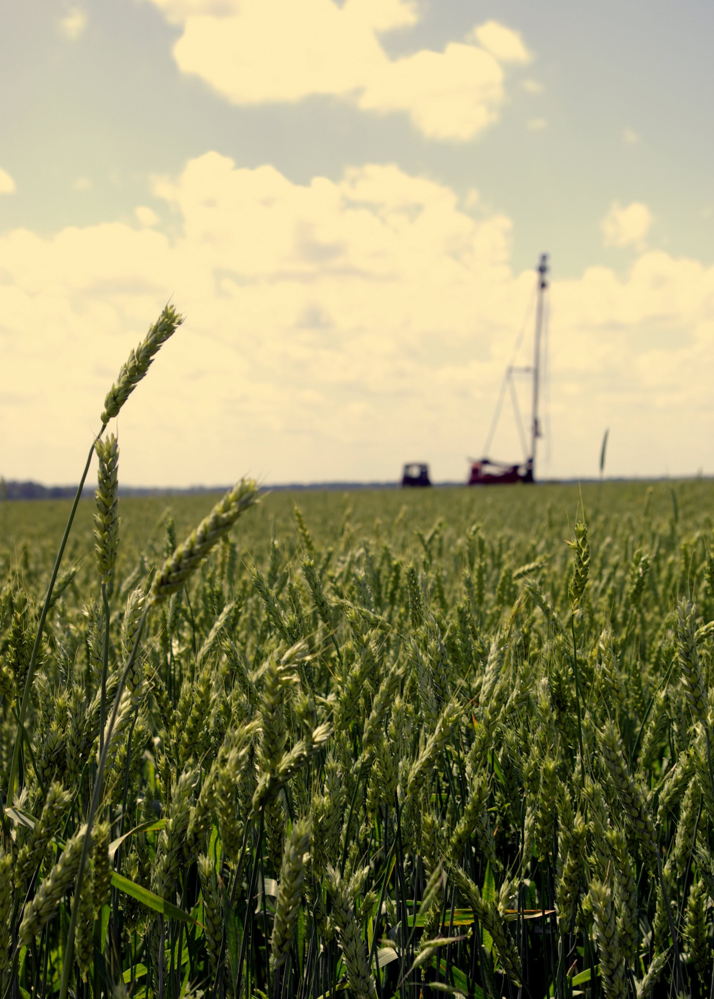
Elevation of Co Rd, Courtland, AL, USA
Location: United States > Alabama > Lawrence County > Courtland >
Longitude: -87.3525882
Latitude: 34.6204829
Elevation: 179m / 587feet
Barometric Pressure: 0KPa
Related Photos:

IMG_0035-1-2
IMG_0022-1

IMG_0005-1

IMG_0054-1

IMG_0330-1

IMG_0015-1

IMG_0013-1
IMG_0017-1
Through the Door
IMG_0024-1
IMG_0037-1
IMG_0035-1

IMG_0033-1
IMG_0048-1
IMG_0375-1
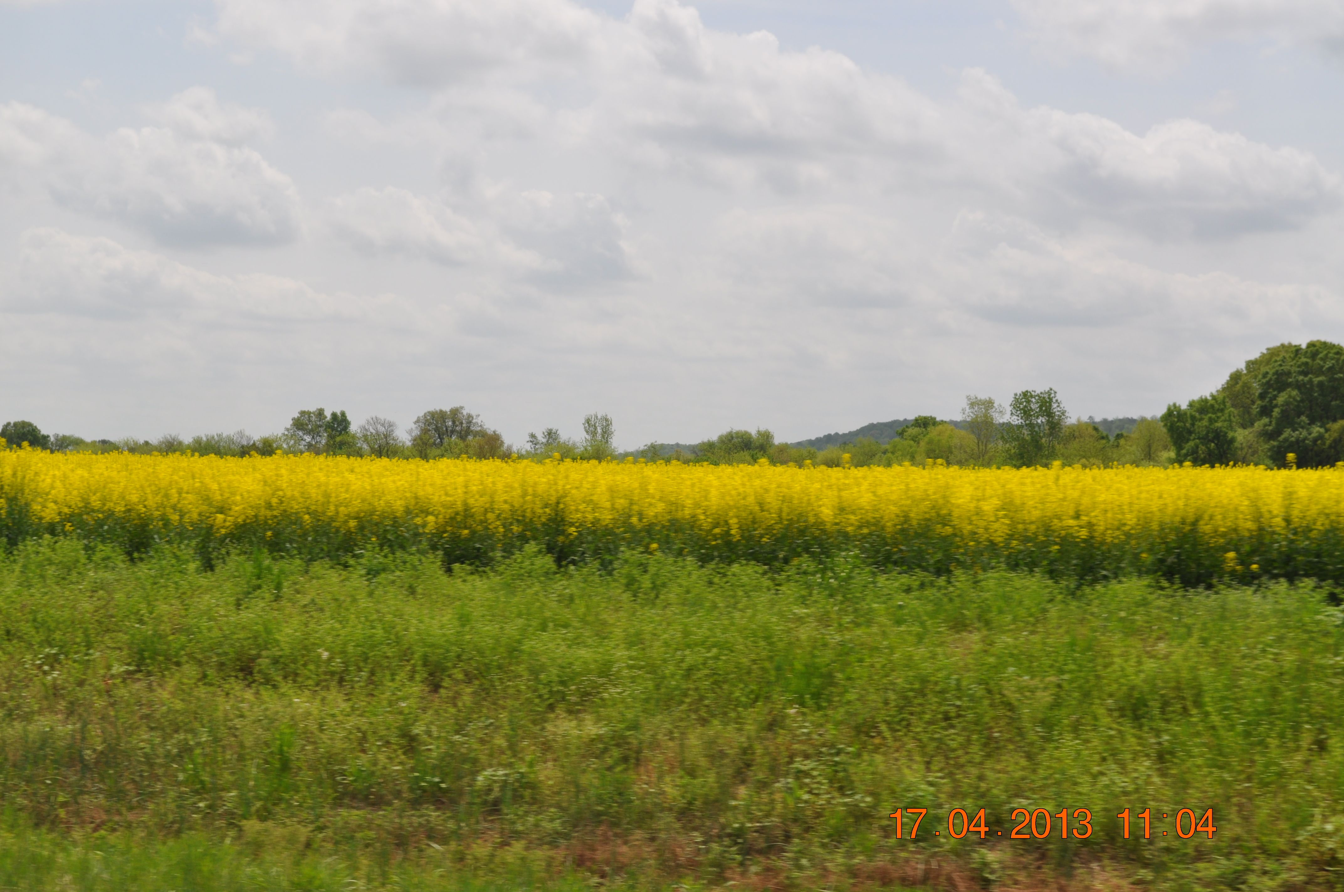
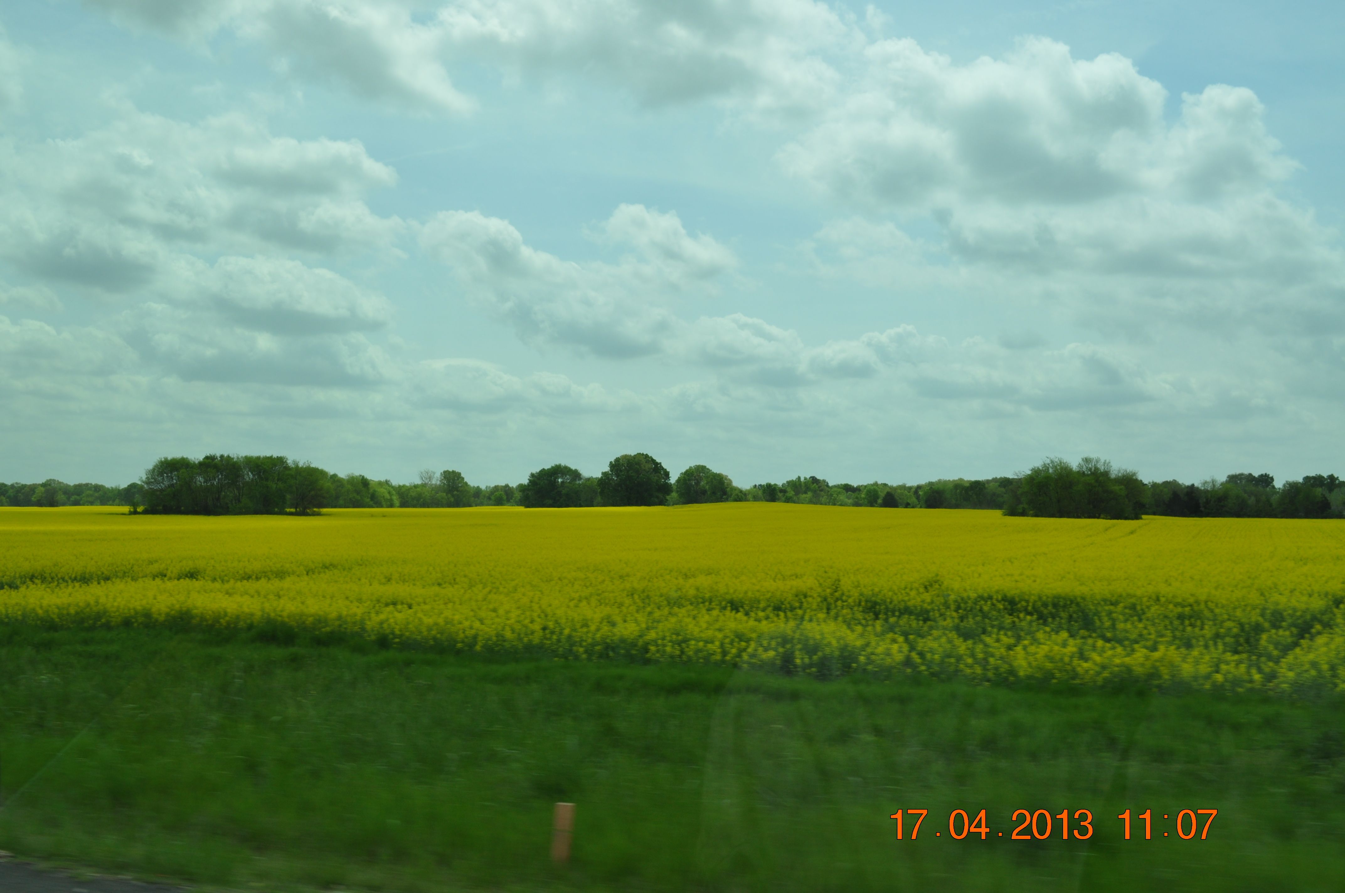
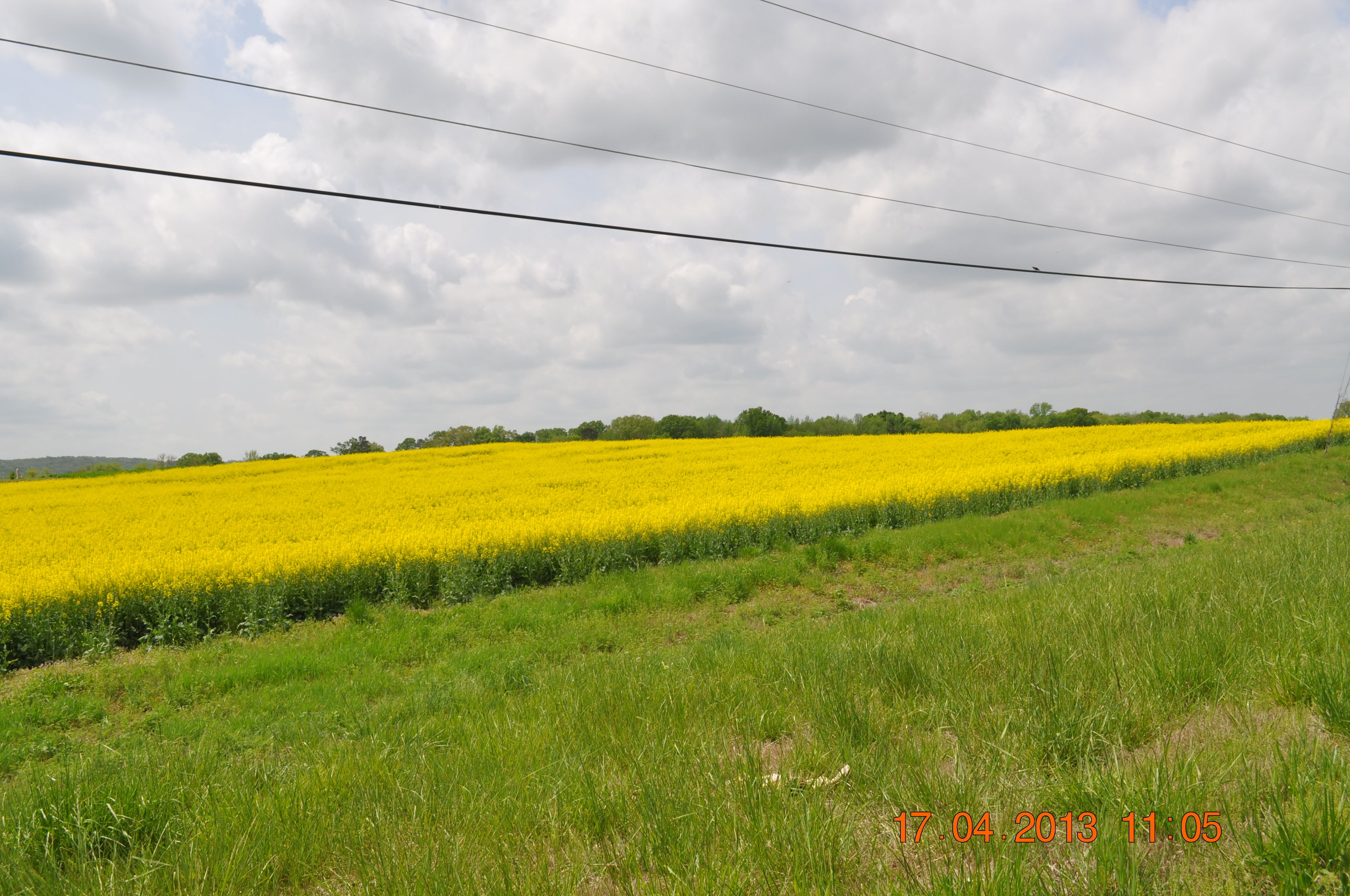
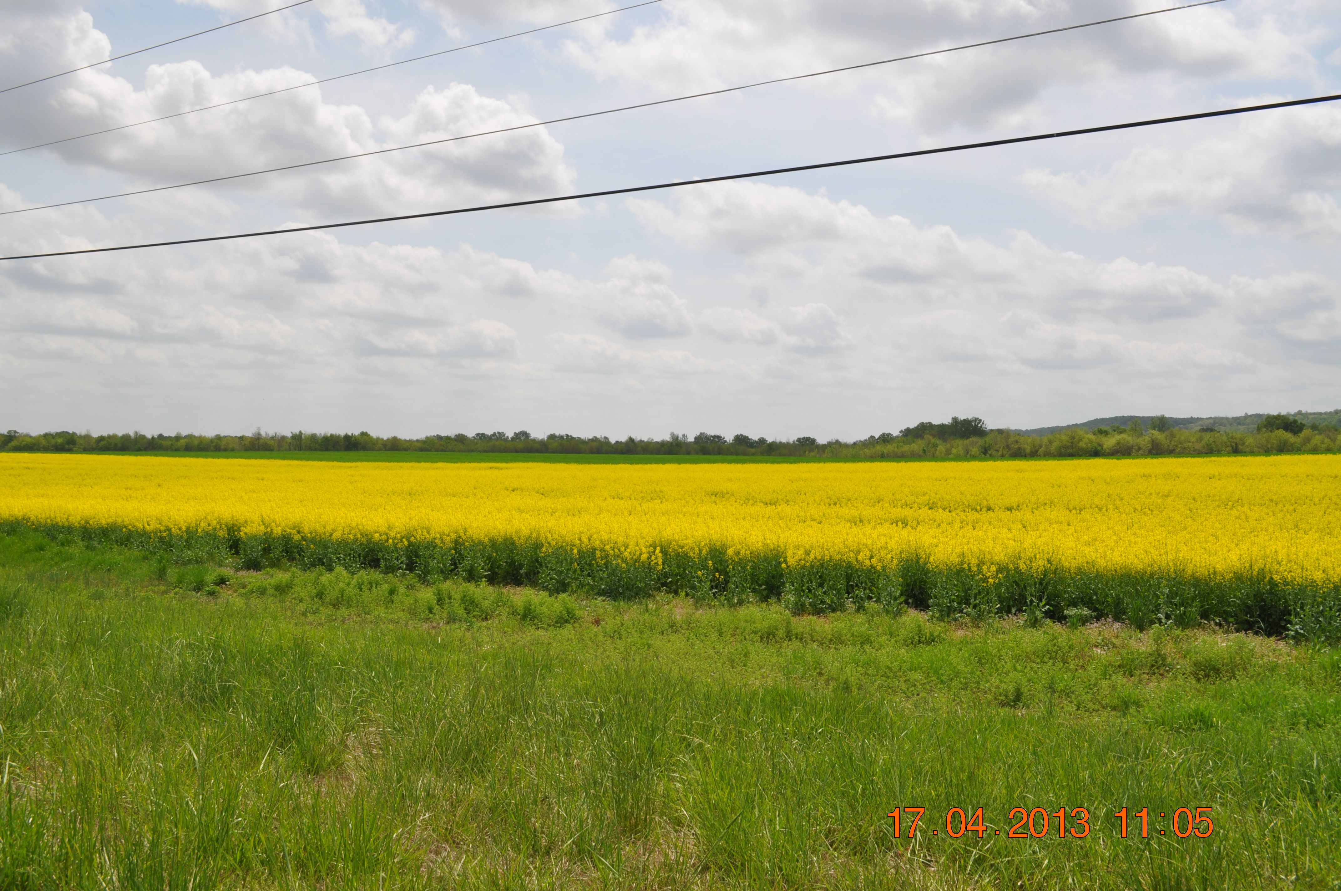
Golden fields of Canola Hwy 20 in Town Creek AL

solitary sandpiper

IMG_0180-1

Alabama Sunset
Golden fields of Canola Hwy 20 in Town Creek AL

IMG_0144-1

Golden fields of Canola Hwy 20 in Town Creek AL

IMG_0072-1-2

NS Local A82
Golden fields of Canola Hwy 20 in Town Creek AL

IMG_0085-1
Golden fields of Canola Hwy 20 in Town Creek AL
town creek 2
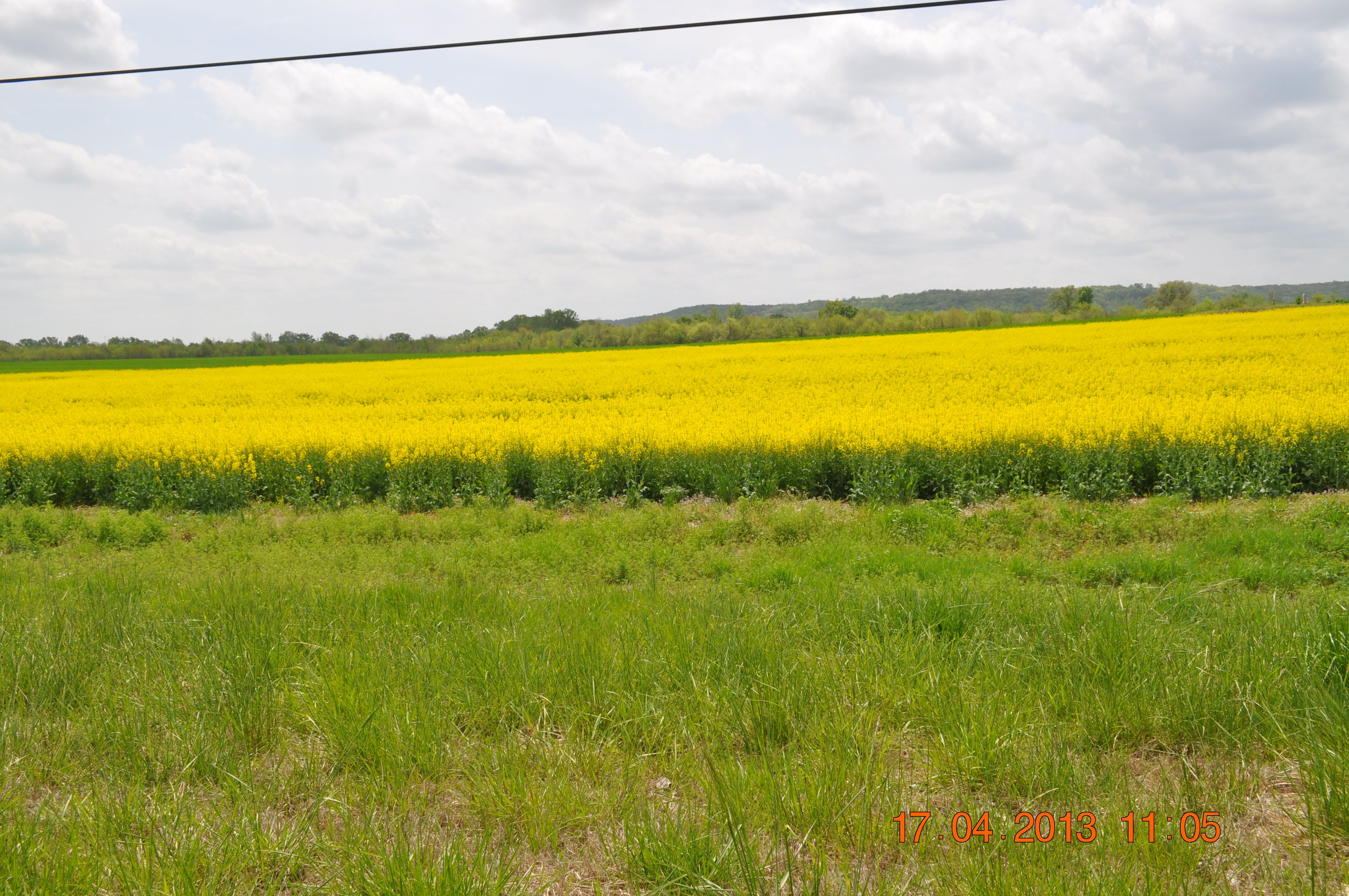
Golden fields of Canola Hwy 20 in Town Creek AL
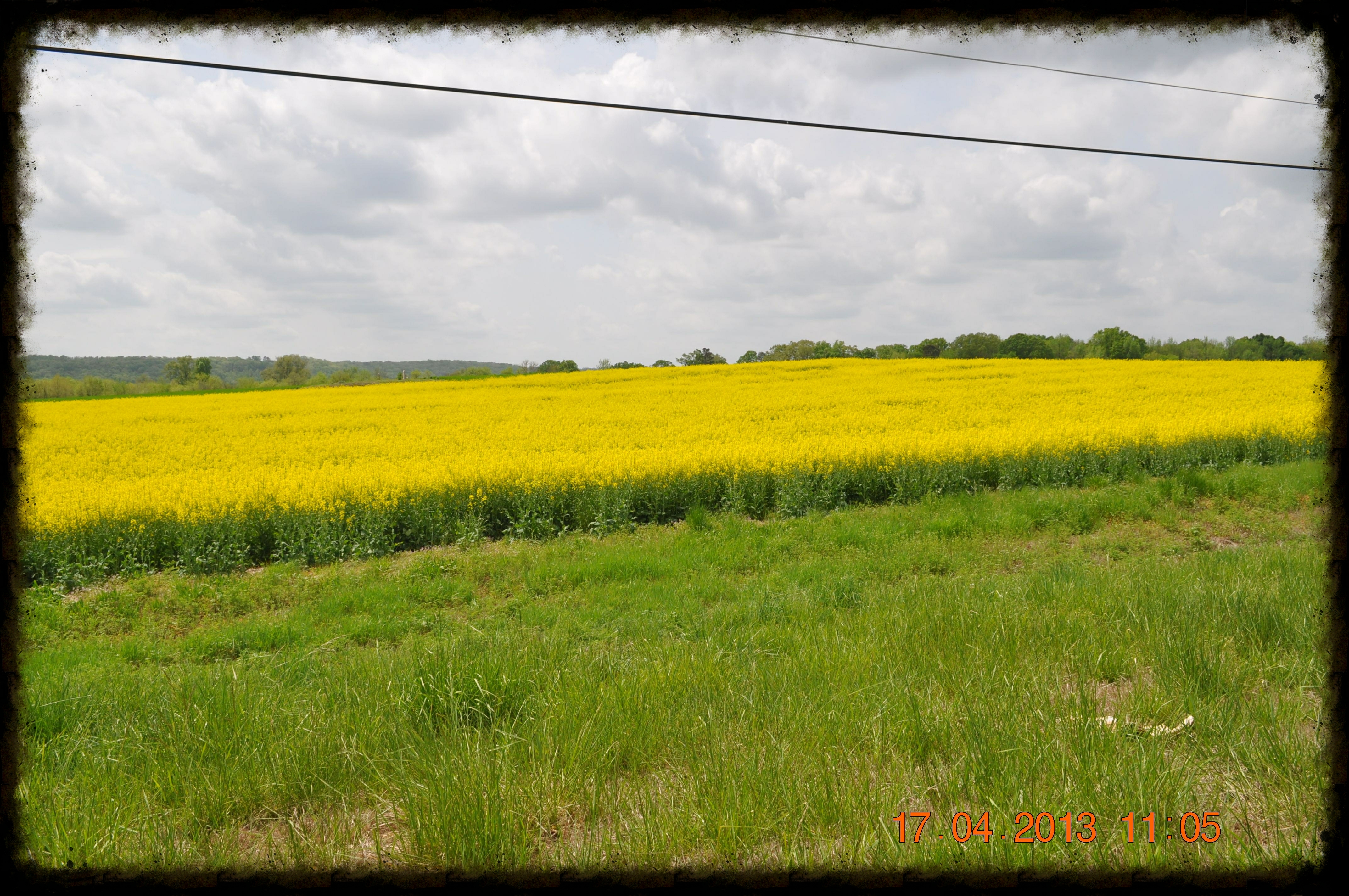
Golden fields of Canola Hwy 20 in Town Creek AL

IMG_0148-1
Topographic Map of Co Rd, Courtland, AL, USA
Find elevation by address:

Places near Co Rd, Courtland, AL, USA:
Sanderson Ln, Courtland, AL, USA
Jefferson St, Courtland, AL, USA
Courtland
Lawrence County
Town Creek
Hatton High School
AL-33, Moulton, AL, USA
3786 Co Rd 305
AL-33, Moulton, AL, USA
AL-20, Courtland, AL, USA
3075 Co Rd 235
US-72 ALT, Hillsboro, AL, USA
University of North Alabama Hwy, Leighton, AL, USA
6th St, Leighton, AL, USA
Moulton
Court St, Moulton, AL, USA
606 Co Rd 91
50 Co Rd 91, Rogersville, AL, USA
264 Naomi Dr
Co Rd 91, Rogersville, AL, USA
Recent Searches:
- Elevation map of Greenland, Greenland
- Elevation of Sullivan Hill, New York, New York, 10002, USA
- Elevation of Morehead Road, Withrow Downs, Charlotte, Mecklenburg County, North Carolina, 28262, USA
- Elevation of 2800, Morehead Road, Withrow Downs, Charlotte, Mecklenburg County, North Carolina, 28262, USA
- Elevation of Yangbi Yi Autonomous County, Yunnan, China
- Elevation of Pingpo, Yangbi Yi Autonomous County, Yunnan, China
- Elevation of Mount Malong, Pingpo, Yangbi Yi Autonomous County, Yunnan, China
- Elevation map of Yongping County, Yunnan, China
- Elevation of North 8th Street, Palatka, Putnam County, Florida, 32177, USA
- Elevation of 107, Big Apple Road, East Palatka, Putnam County, Florida, 32131, USA
- Elevation of Jiezi, Chongzhou City, Sichuan, China
- Elevation of Chongzhou City, Sichuan, China
- Elevation of Huaiyuan, Chongzhou City, Sichuan, China
- Elevation of Qingxia, Chengdu, Sichuan, China
- Elevation of Corso Fratelli Cairoli, 35, Macerata MC, Italy
- Elevation of Tallevast Rd, Sarasota, FL, USA
- Elevation of 4th St E, Sonoma, CA, USA
- Elevation of Black Hollow Rd, Pennsdale, PA, USA
- Elevation of Oakland Ave, Williamsport, PA, USA
- Elevation of Pedrógão Grande, Portugal