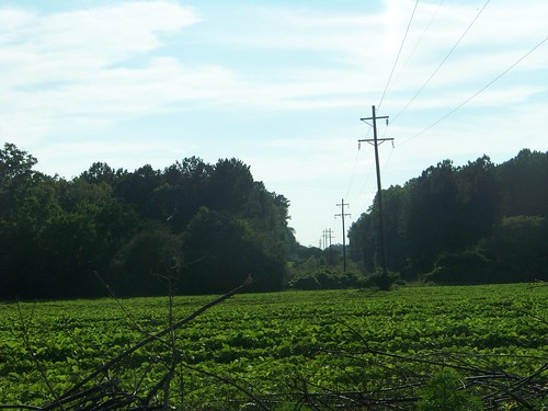
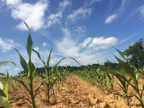
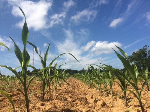
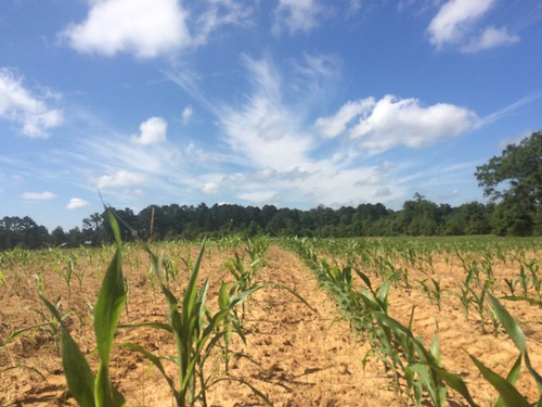
Elevation of Co Rd 67, Skipperville, AL, USA
Location: United States > Alabama > Dale County > Skipperville >
Longitude: -85.452766
Latitude: 31.5514714
Elevation: 130m / 427feet
Barometric Pressure: 100KPa
Related Photos:
Topographic Map of Co Rd 67, Skipperville, AL, USA
Find elevation by address:

Places near Co Rd 67, Skipperville, AL, USA:
Co Rd 69, Midland City, AL, USA
AL-, Clopton, AL, USA
Clopton
22 Lury Walker Rd, Clio, AL, USA
Skipperville
Co Rd 68, Skipperville, AL, USA
Co Rd 36, Ozark, AL, USA
Co Rd 50, Ozark, AL, USA
Co Rd 15, Skipperville, AL, USA
Co Rd 15, Ariton, AL, USA
Hawridge Rd, Ozark, AL, USA
1442 Jernigan Rd
AL-, Ariton, AL, USA
Dr. Hassan Kesserwani
Co Rd, Ariton, AL, USA
Co Rd 36, Ozark, AL, USA
Ariton
AL-51, Ariton, AL, USA
15 Co Rd 52, Ariton, AL, USA
Recent Searches:
- Elevation of Corso Fratelli Cairoli, 35, Macerata MC, Italy
- Elevation of Tallevast Rd, Sarasota, FL, USA
- Elevation of 4th St E, Sonoma, CA, USA
- Elevation of Black Hollow Rd, Pennsdale, PA, USA
- Elevation of Oakland Ave, Williamsport, PA, USA
- Elevation of Pedrógão Grande, Portugal
- Elevation of Klee Dr, Martinsburg, WV, USA
- Elevation of Via Roma, Pieranica CR, Italy
- Elevation of Tavkvetili Mountain, Georgia
- Elevation of Hartfords Bluff Cir, Mt Pleasant, SC, USA
