Elevation of Co Rd 43A, Sinton, TX, USA
Location: United States > Texas > San Patricio County > Morgan Farm Area >
Longitude: -97.547944
Latitude: 28.019111
Elevation: 16m / 52feet
Barometric Pressure: 101KPa
Elevation Map:
Satellite Map:
Related Photos:

Meadowlark (Sturnella spp.)

Windmills & Cotton

My Start of the Corpus CBC
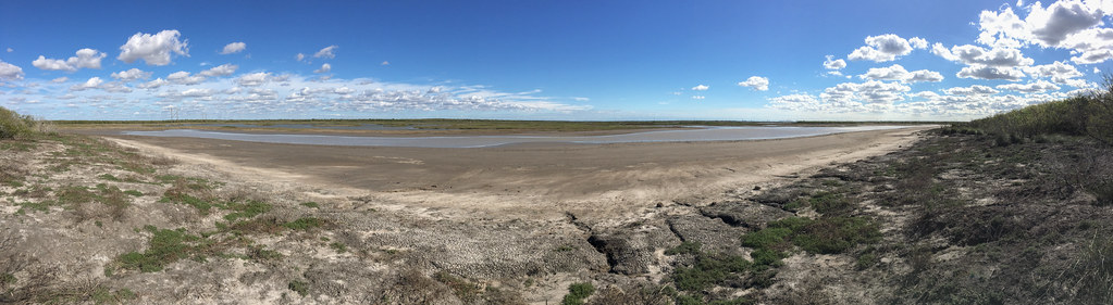
Lake Pano
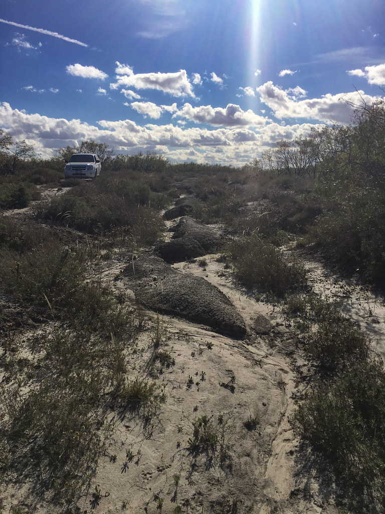
Washed Out Trail
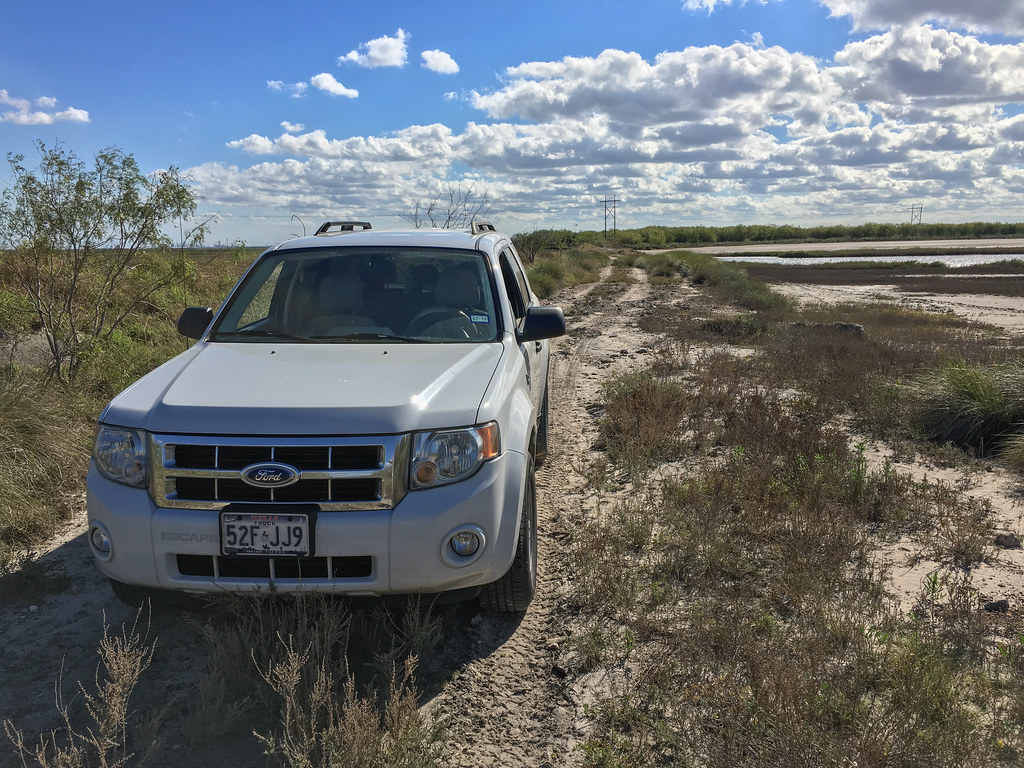
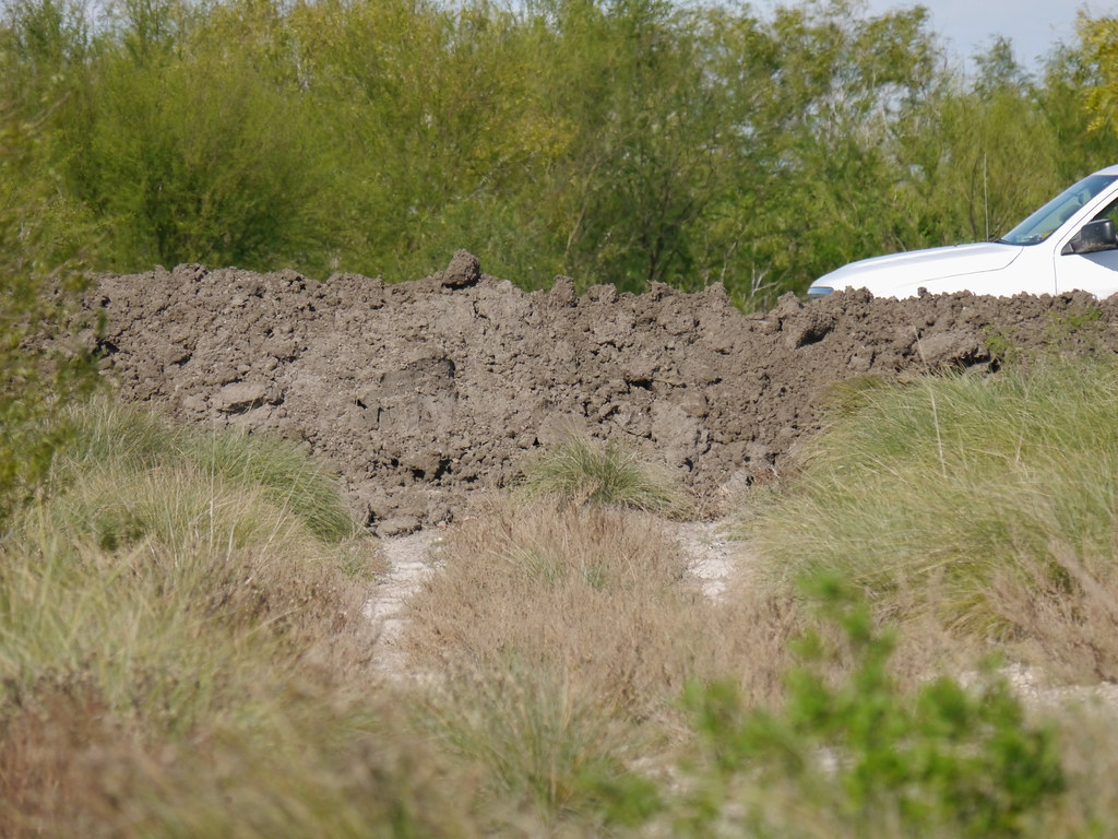
Truck Trail and Truck

Spring is blooming in South Texas
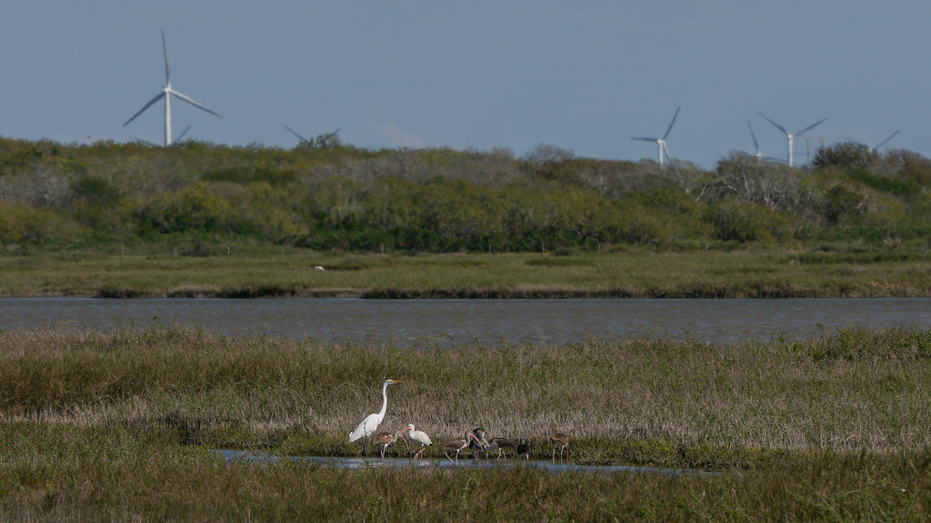
Wind Generators and Birds

Variegated Meadowhawk
The End of the Road
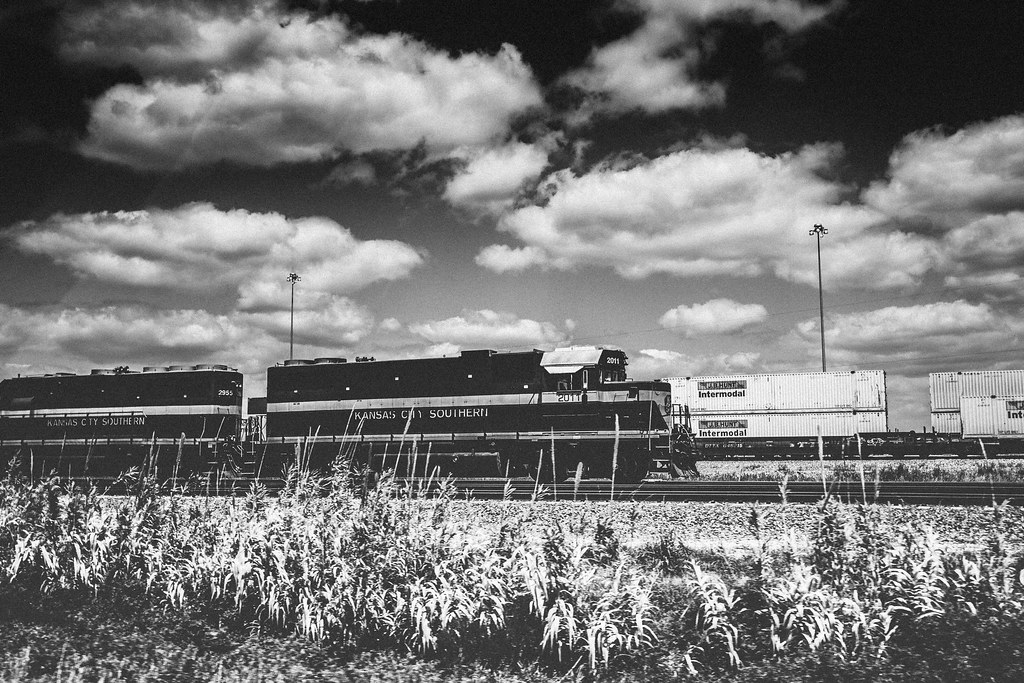
Kansas City Southern

Blue Dasher (Pachydiplax longipennis)
Topographic Map of Co Rd 43A, Sinton, TX, USA
Find elevation by address:

Places near Co Rd 43A, Sinton, TX, USA:
Morgan Farm Area
San Patricio County
Sinton
14691 Co Rd 984
14691 Co Rd 984
Co Rd, Odem, TX, USA
Odem
16335 Fm630
Co Rd 31, Sinton, TX, USA
500 W Turner St
Co Rd, Odem, TX, USA
14437 County Rd 1856
14437 County Rd 1856
14437 County Rd 1856
Co Rd 47, Odem, TX, USA
8048 Fm796
County Rd, Odem, TX, USA
Taft
3901 Castle Ridge Dr
3805 Castle Valley Dr
Recent Searches:
- Elevation of Corso Fratelli Cairoli, 35, Macerata MC, Italy
- Elevation of Tallevast Rd, Sarasota, FL, USA
- Elevation of 4th St E, Sonoma, CA, USA
- Elevation of Black Hollow Rd, Pennsdale, PA, USA
- Elevation of Oakland Ave, Williamsport, PA, USA
- Elevation of Pedrógão Grande, Portugal
- Elevation of Klee Dr, Martinsburg, WV, USA
- Elevation of Via Roma, Pieranica CR, Italy
- Elevation of Tavkvetili Mountain, Georgia
- Elevation of Hartfords Bluff Cir, Mt Pleasant, SC, USA