Elevation of Co Rd 38, Section, AL, USA
Location: United States > Alabama > Jackson County > Section >
Longitude: -85.944245
Latitude: 34.5305321
Elevation: 383m / 1257feet
Barometric Pressure: 97KPa
Elevation Map:
Satellite Map:
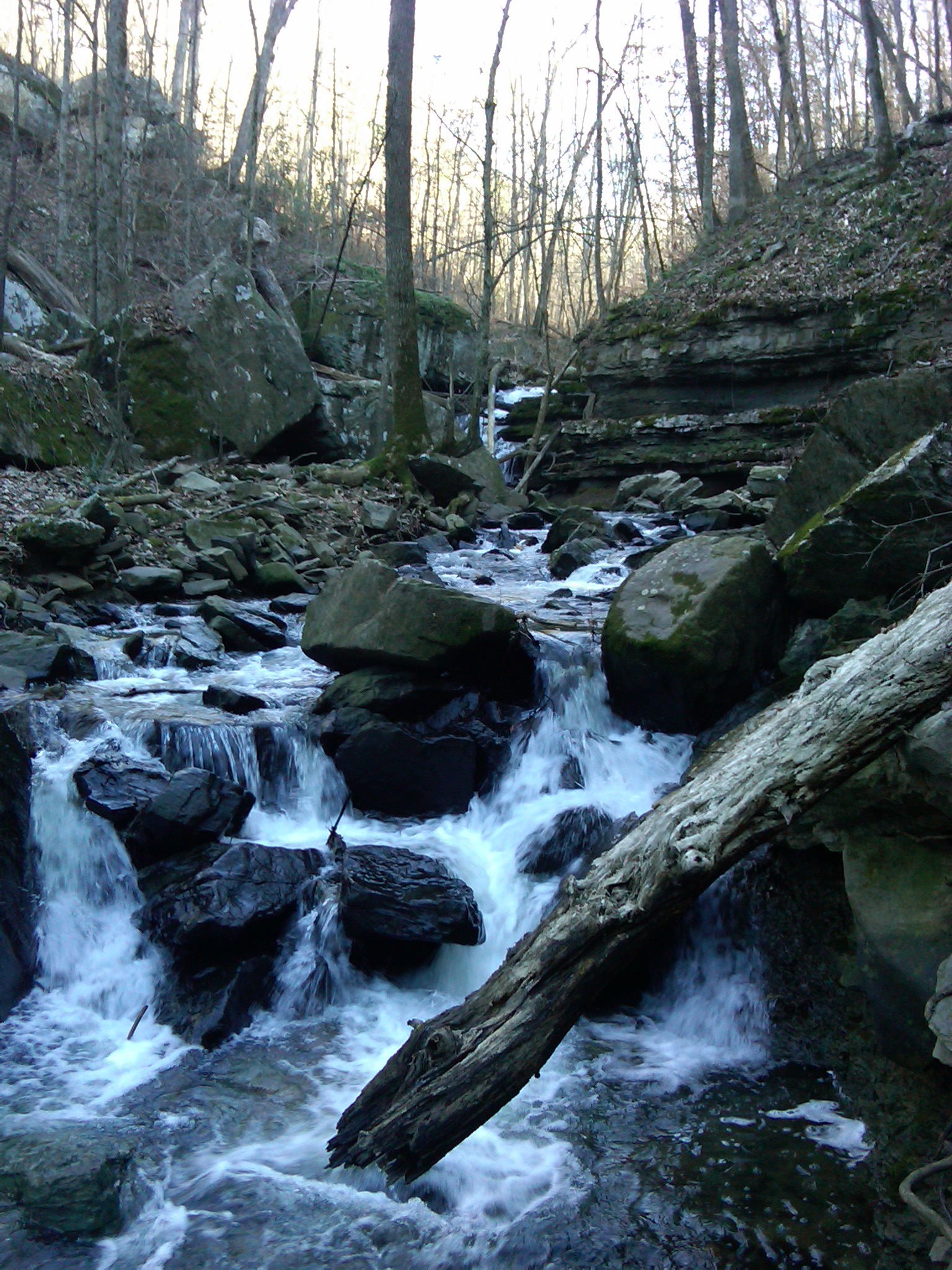
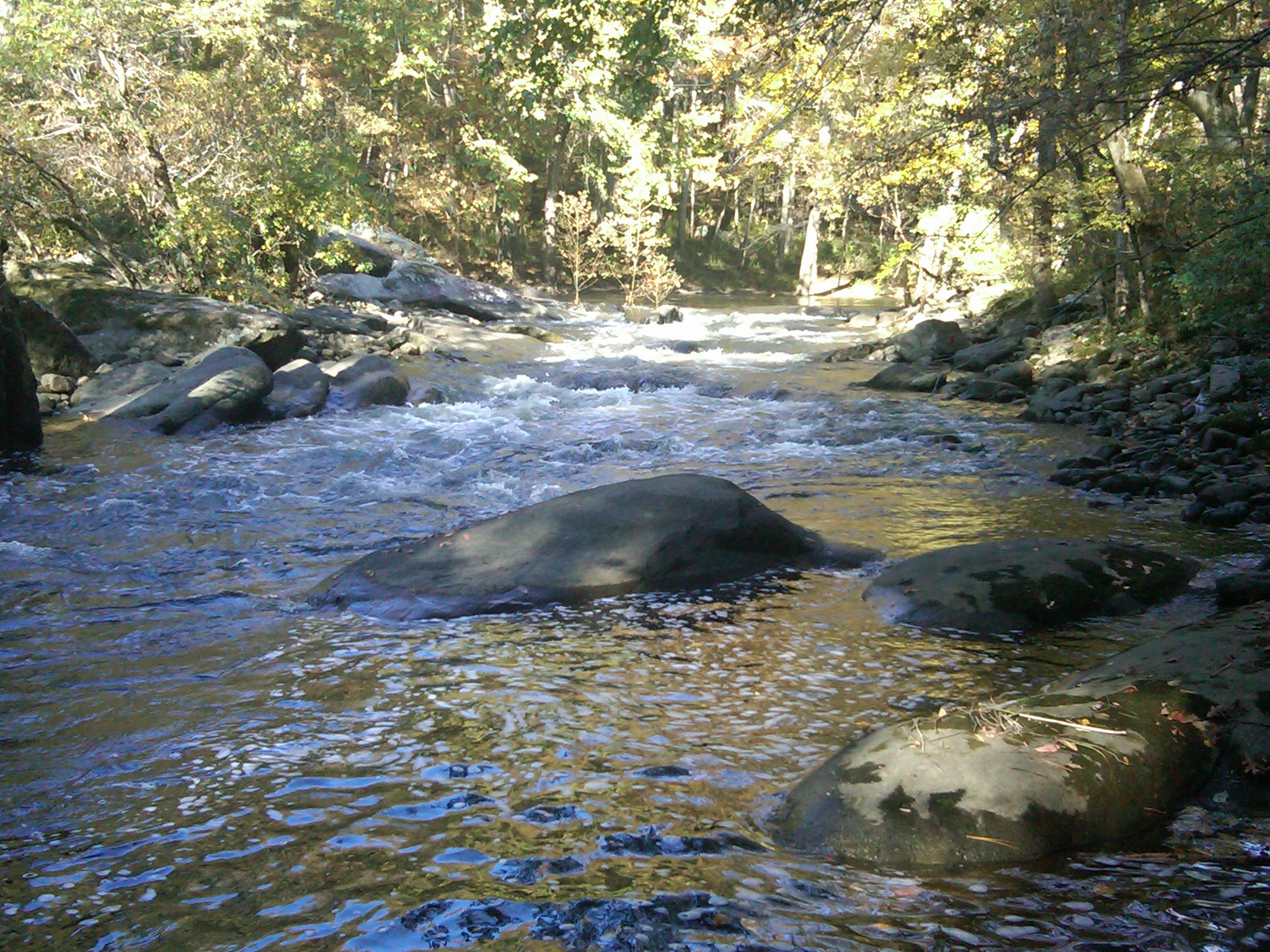
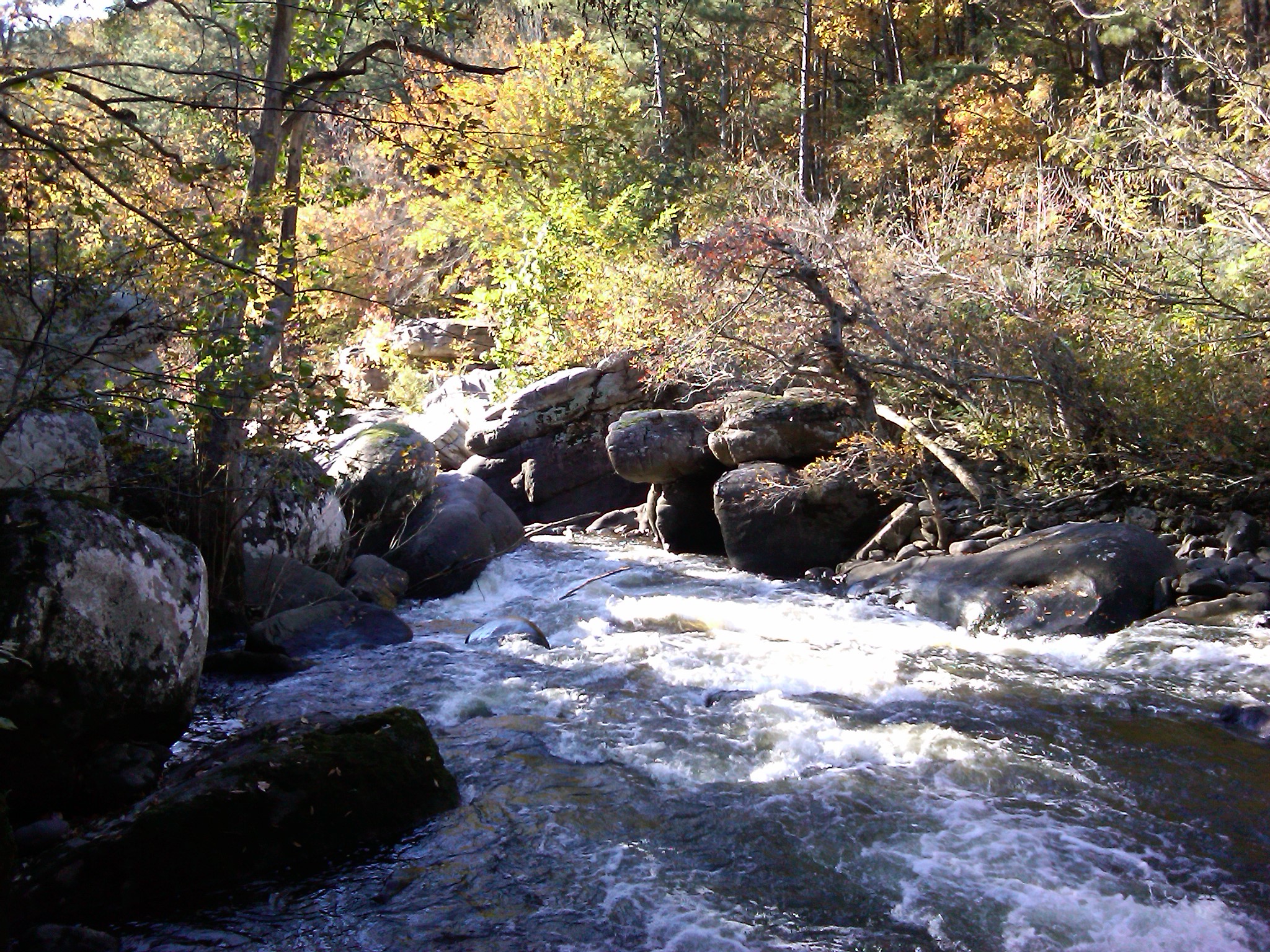
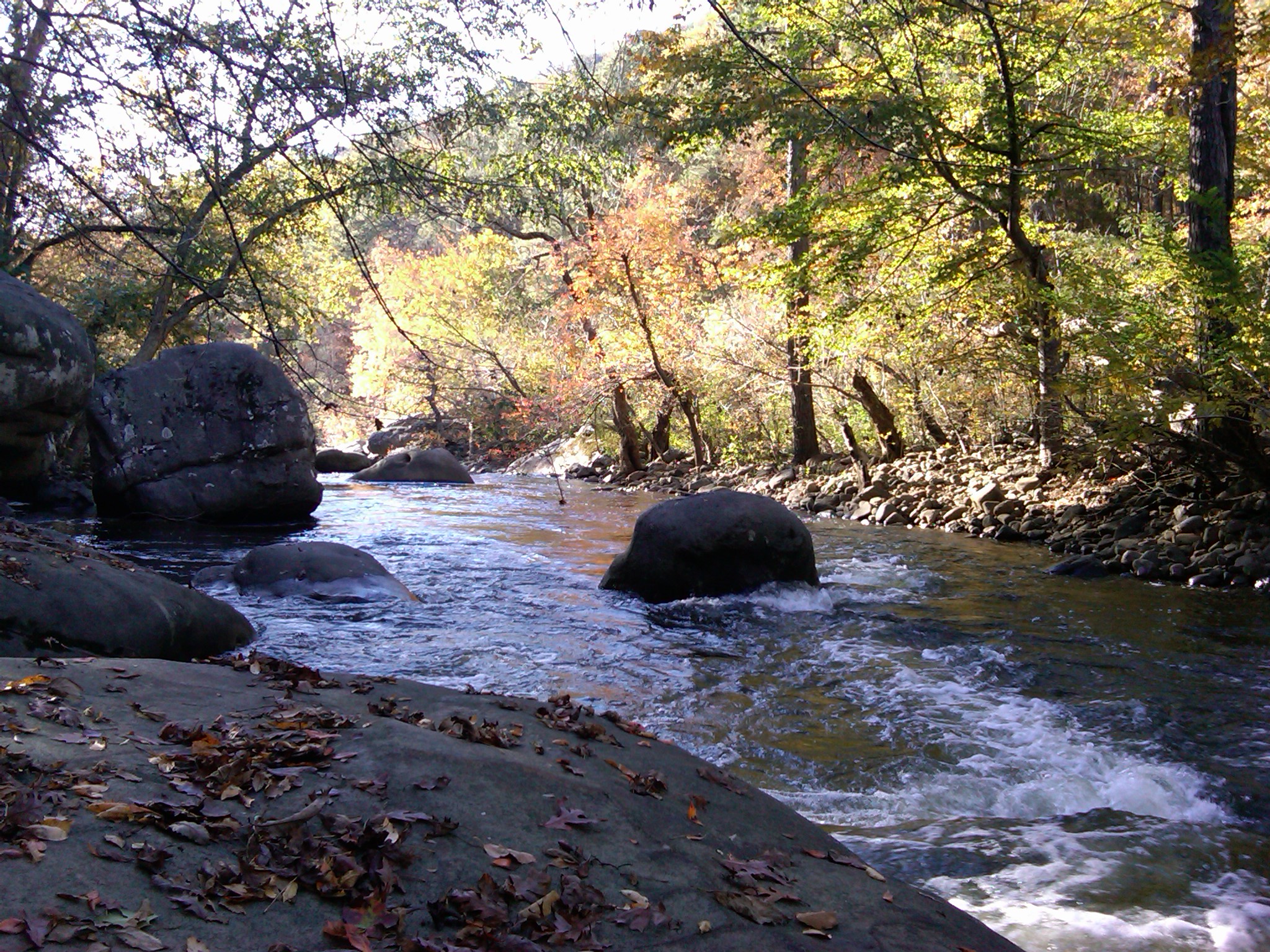
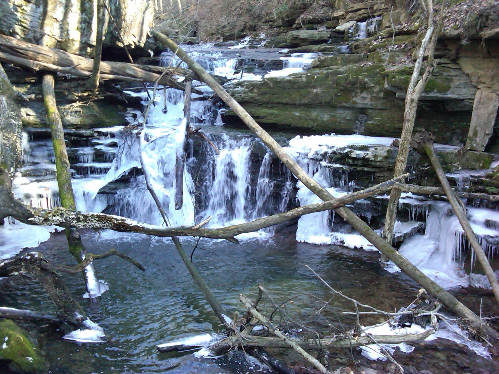
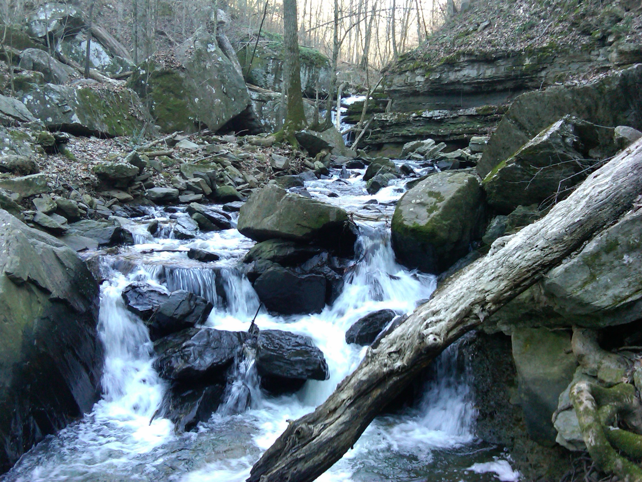
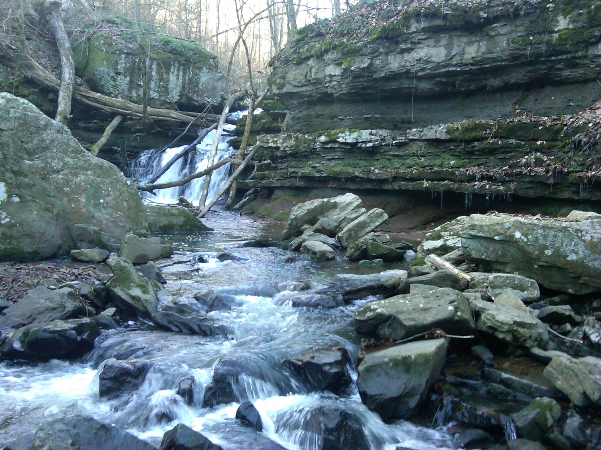
Related Photos:
Buck's Pocket State Park
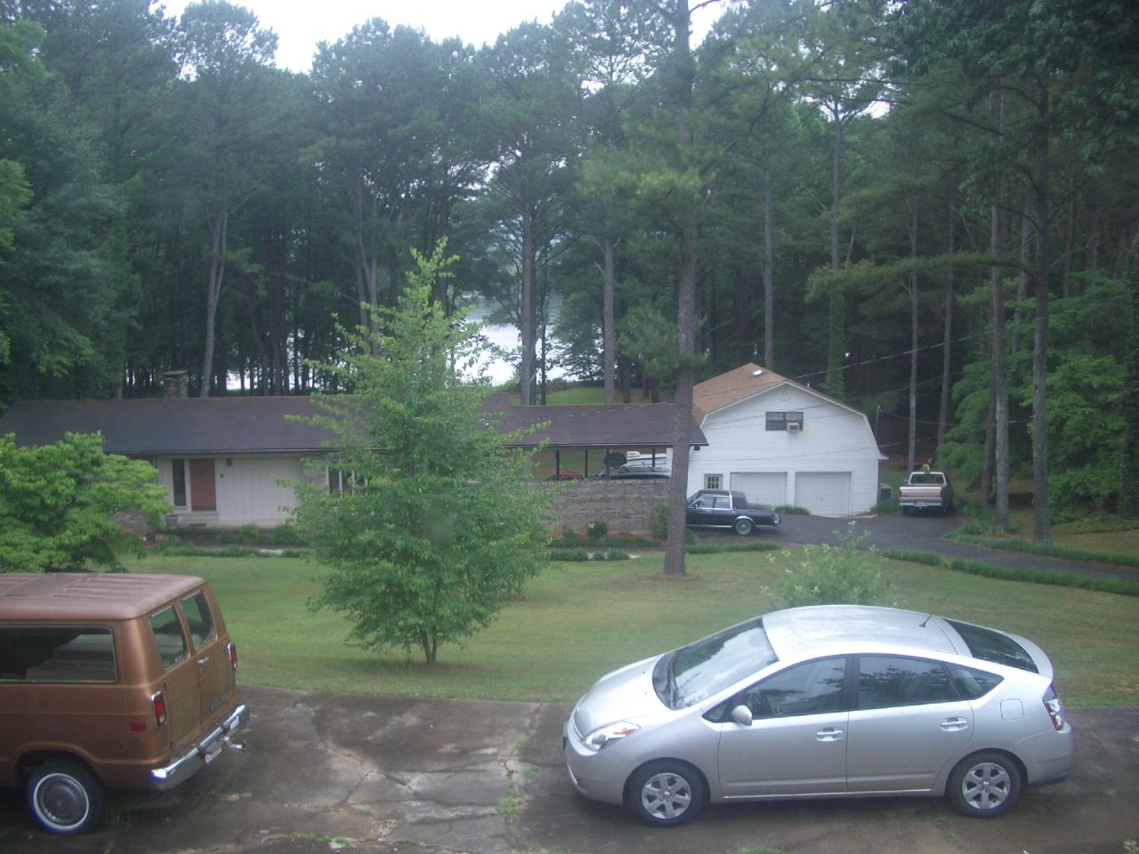
View from Grandparents Guthrie's house

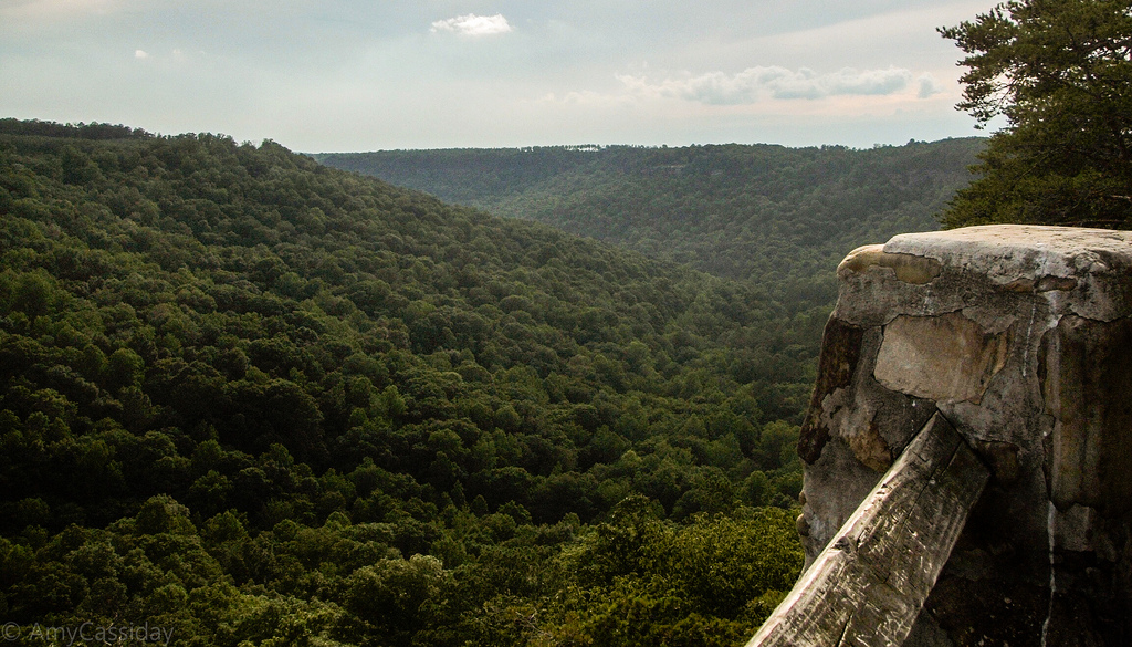
Perch with a view
IMG00186-20100115-1345
IMG00189-20100115-1346

IMG00195-20100115-1420

IMG00018-20091101-1450
IMG00115-20091229-1426
IMG00017-20091101-1449

IMG00046-20091222-1243
IMG00020-20091101-1454

IMG00170-20100115-1338
IMG00019-20091101-1451

IMG00037-20091101-1610
Had to turn back here because it was getting late.
IMG00177-20100115-1341
IMG00108-20091229-1415
IMG00120-20091229-1432
IMG00169-20100115-1338
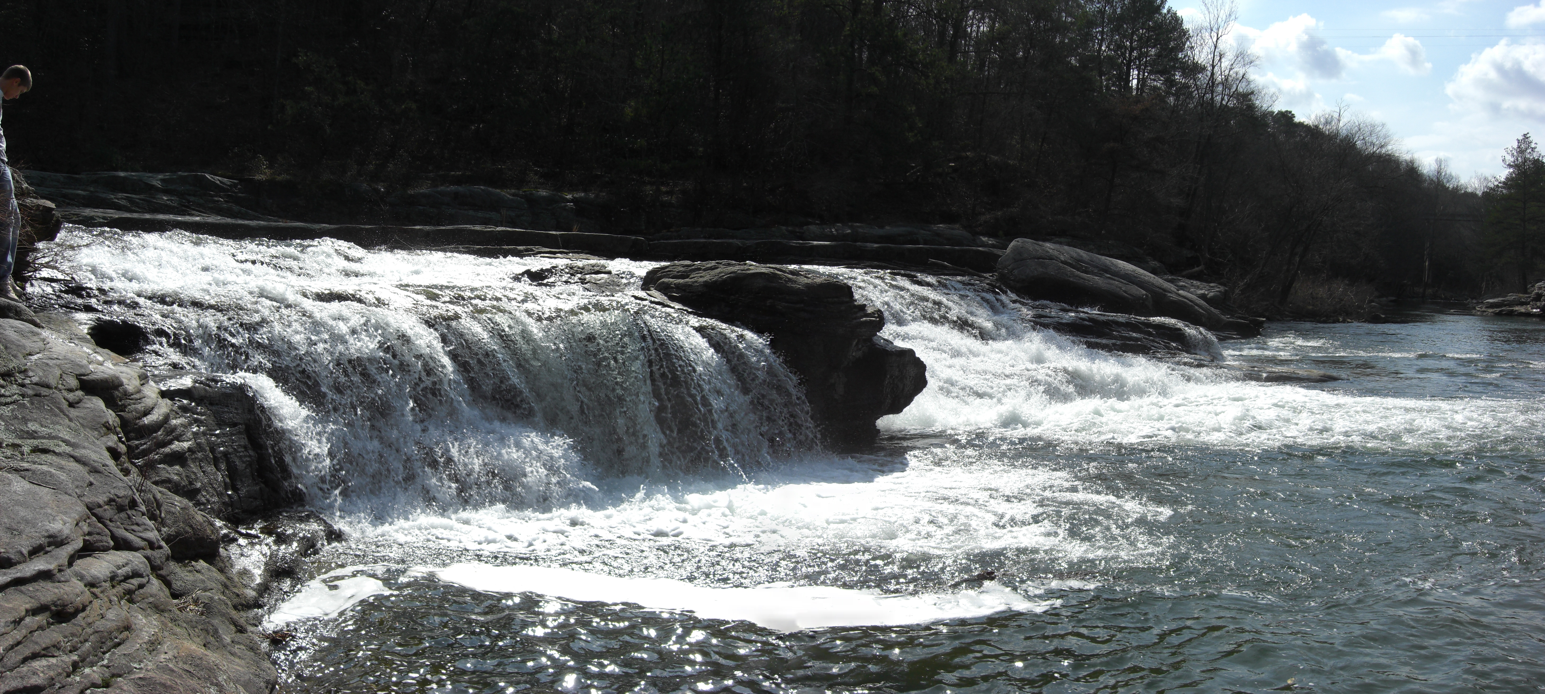
South Sauty Creek
IMG00114-20091229-1426
IMG00107-20091229-1414

IMG00061-20091222-1401
IMG00068-20091222-1431
Topographic Map of Co Rd 38, Section, AL, USA
Find elevation by address:

Places near Co Rd 38, Section, AL, USA:
Powell
Co Rd 43, Section, AL, USA
N Broad St, Powell, AL, USA
Section
Poole Circle
165 Poole Cir
Co Rd 50, Fyffe, AL, USA
2808 Co Rd 62
75 Hodge Rd
Dutton
1283 Clements Rd Sw
Kaysie Price: Allstate Insurance
Rainsville
Co Rd 44, Section, AL, USA
200 2nd Ave Nw
552 Co Rd 407
35 Williams St Ne
Langston
352 Mountainview Cir
Gurney Lane
Recent Searches:
- Elevation of Corso Fratelli Cairoli, 35, Macerata MC, Italy
- Elevation of Tallevast Rd, Sarasota, FL, USA
- Elevation of 4th St E, Sonoma, CA, USA
- Elevation of Black Hollow Rd, Pennsdale, PA, USA
- Elevation of Oakland Ave, Williamsport, PA, USA
- Elevation of Pedrógão Grande, Portugal
- Elevation of Klee Dr, Martinsburg, WV, USA
- Elevation of Via Roma, Pieranica CR, Italy
- Elevation of Tavkvetili Mountain, Georgia
- Elevation of Hartfords Bluff Cir, Mt Pleasant, SC, USA