Elevation of Co Rd 18, Bloomville, NY, USA
Location: United States > New York > Delaware County > Stamford >
Longitude: -74.718722
Latitude: 42.342778
Elevation: 459m / 1506feet
Barometric Pressure: 96KPa
Elevation Map:
Satellite Map:
Related Photos:

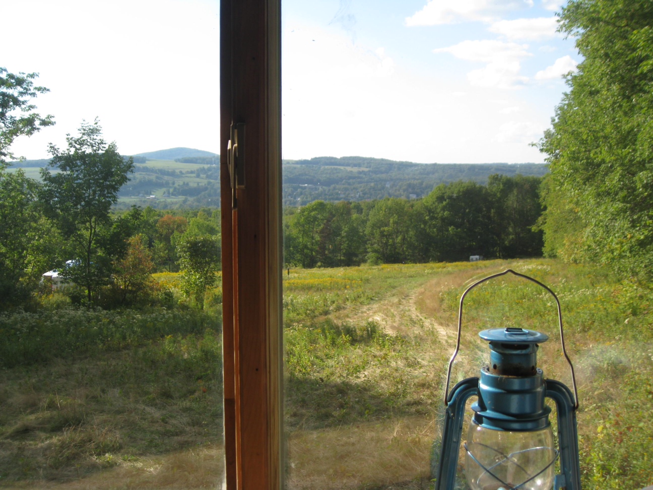
Window view through curtain.
On Mount Utsayantha

Warner 10

cst-hills

View from the Col on Plattekill Mountain
Another View Near Burroughs Grave
View From Burroughs Grave Site

Time for take off...

View from Middle Landing

View from Gravesite

View Along Burroughs Memorial Road

Madalyn's Place

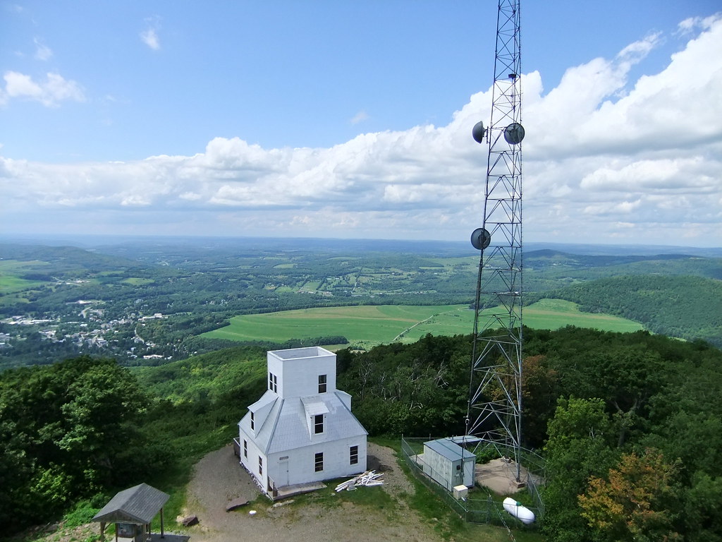
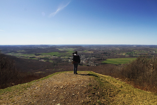
View from fire tower

Fire tower view.
View from Artist Studio
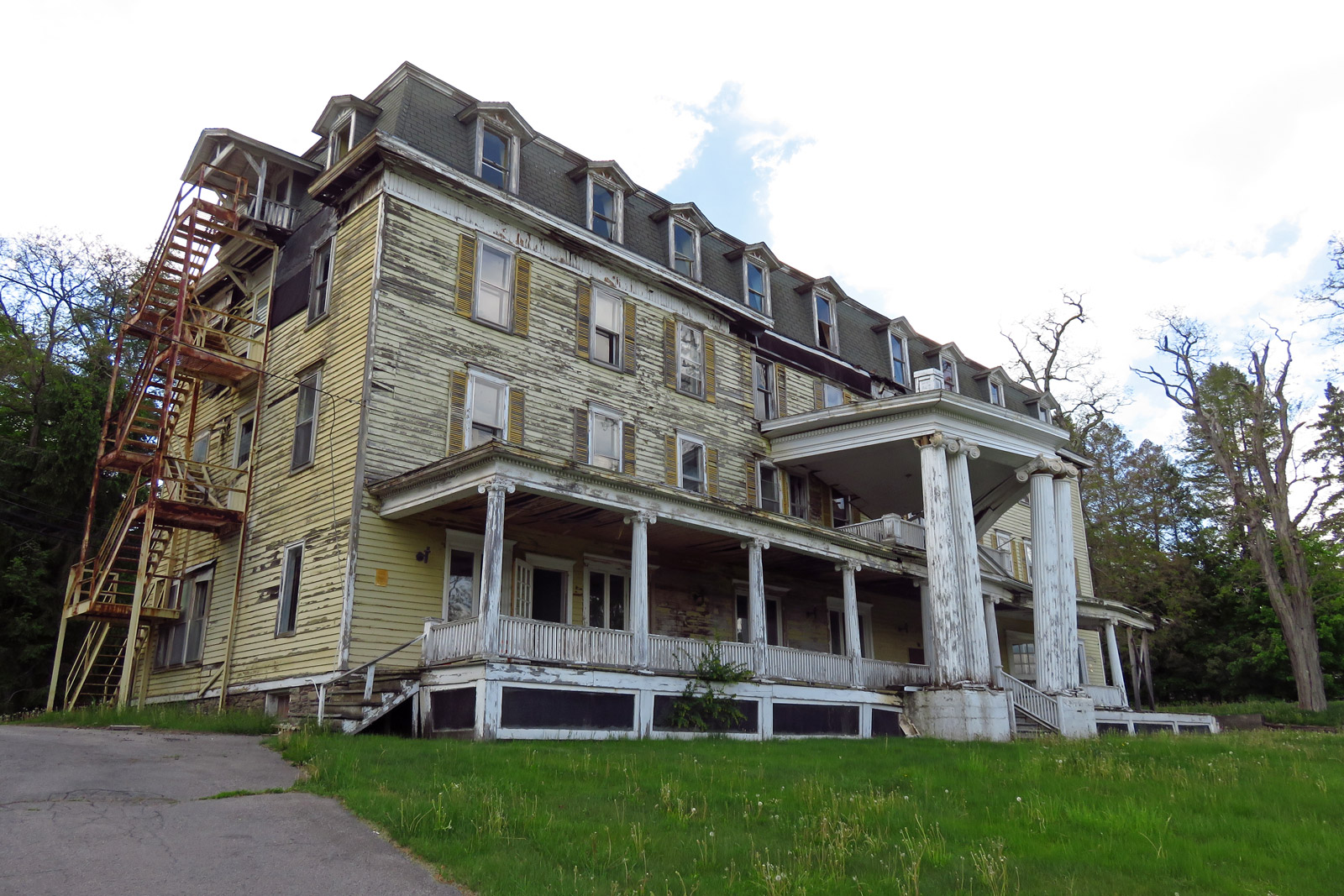
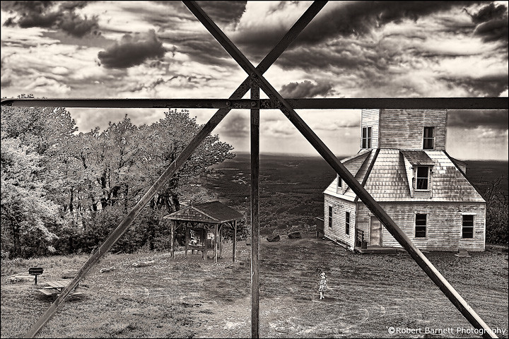
Big Yellow House
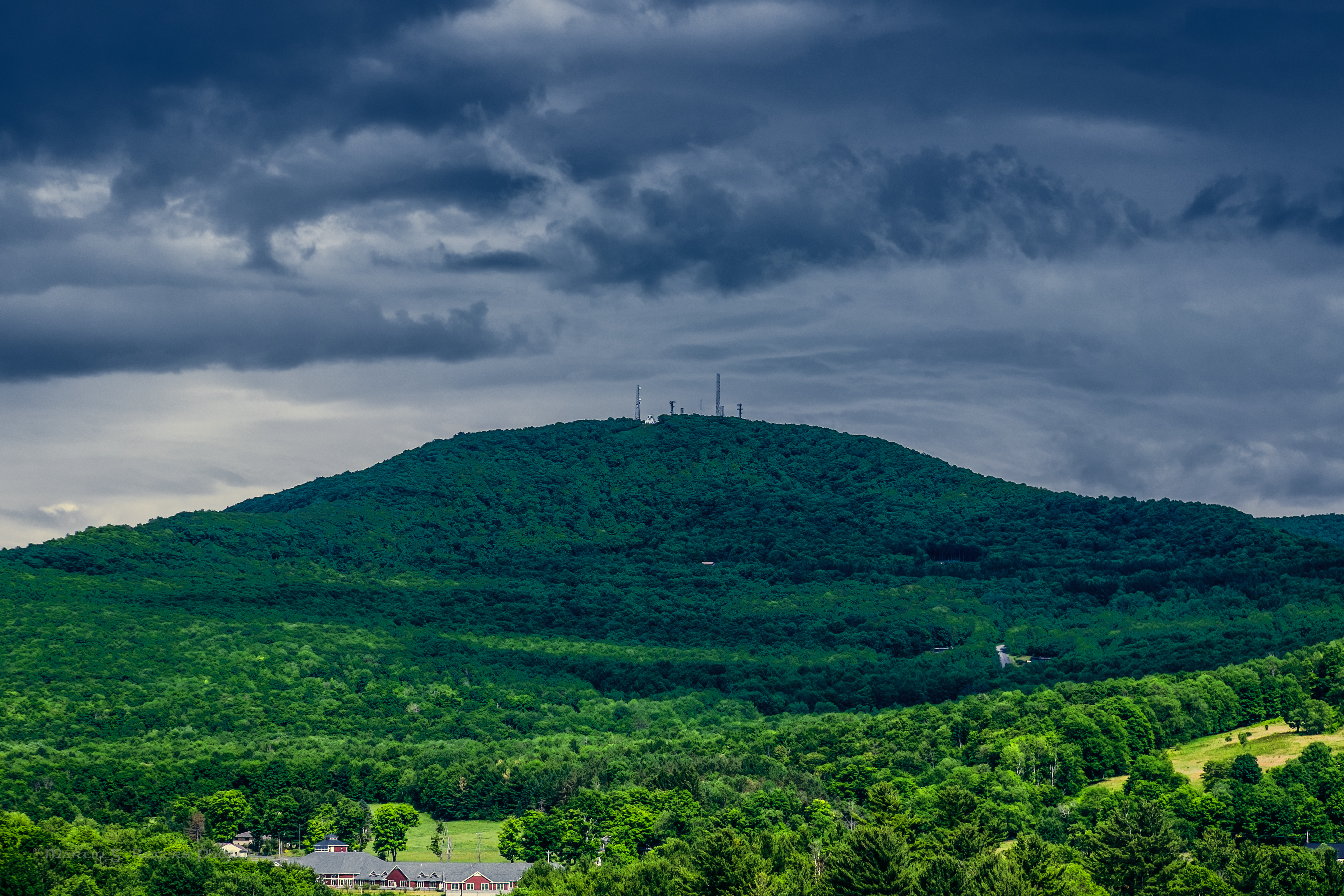
Mount Utsayantha
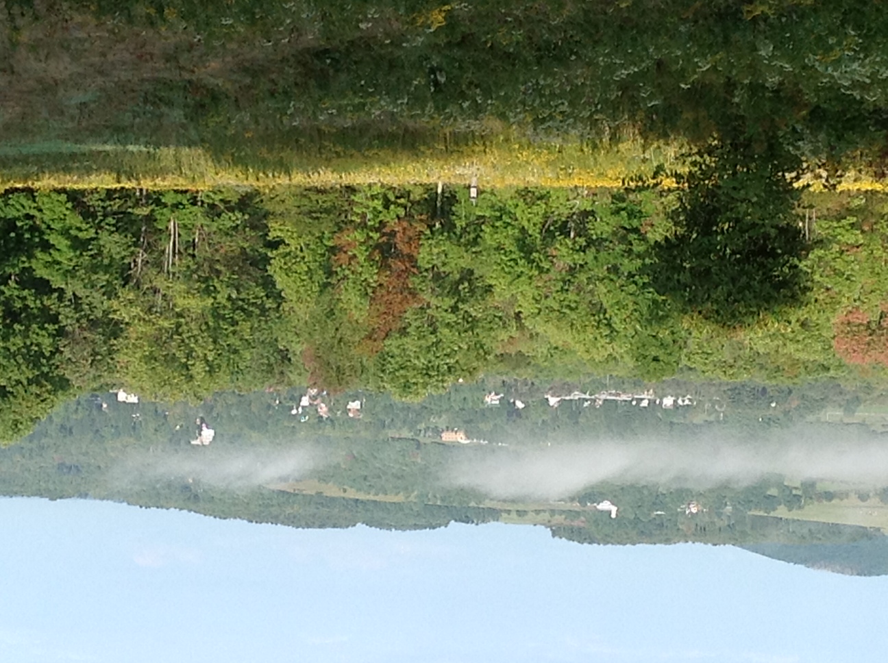
Morning Mist, Stamford
Mount Utsayantha
April 10 (100/365)
It's up there...
Moresville Range
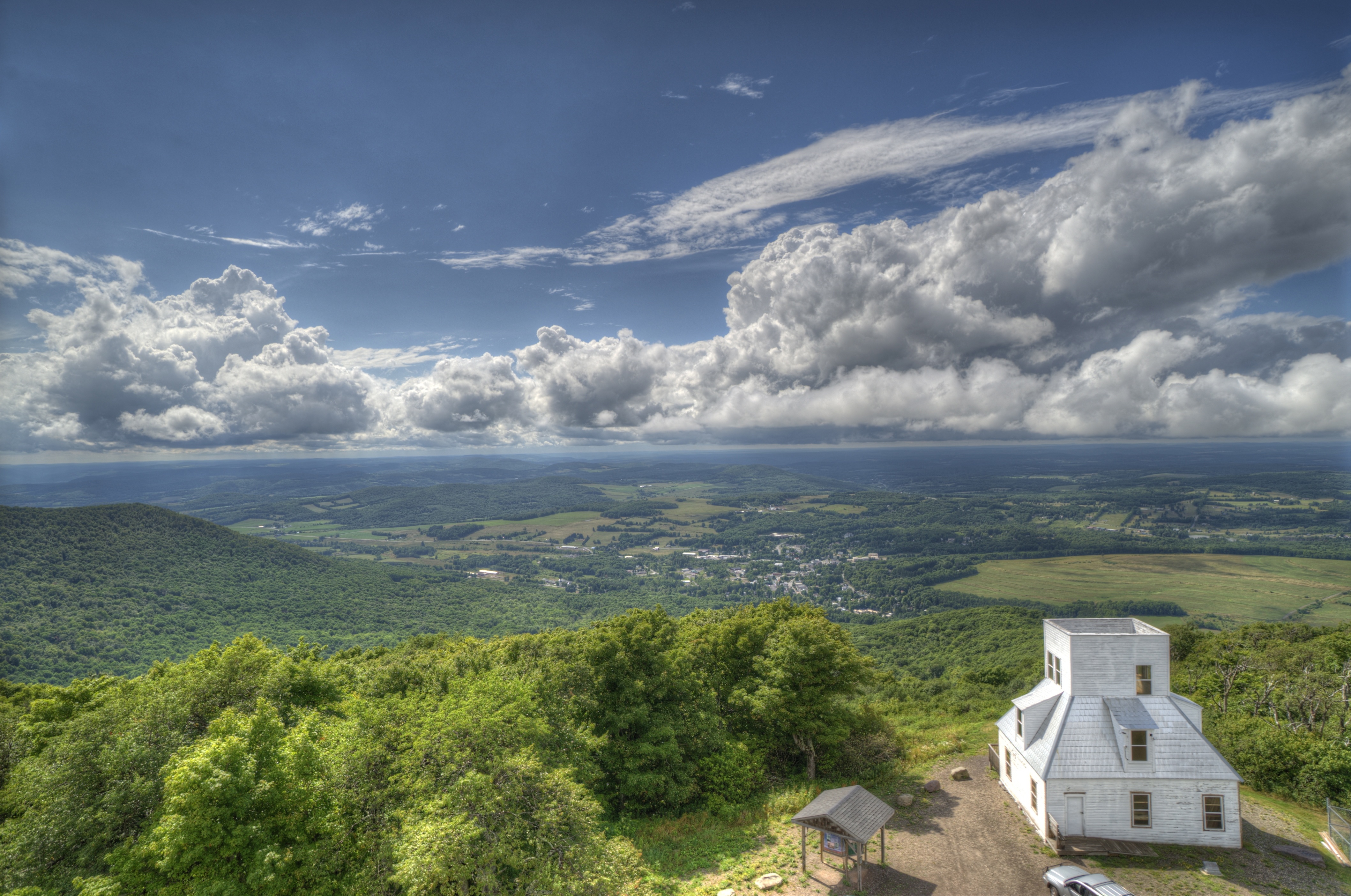
Mt Utsayantha
Churchill Mountain and It's Col

Tower Mountain Road
Catskill Mountains from the Firetower

Narrow Notch Road Across Township Valley
Hairpin Turn on Roxbury Mountain Road

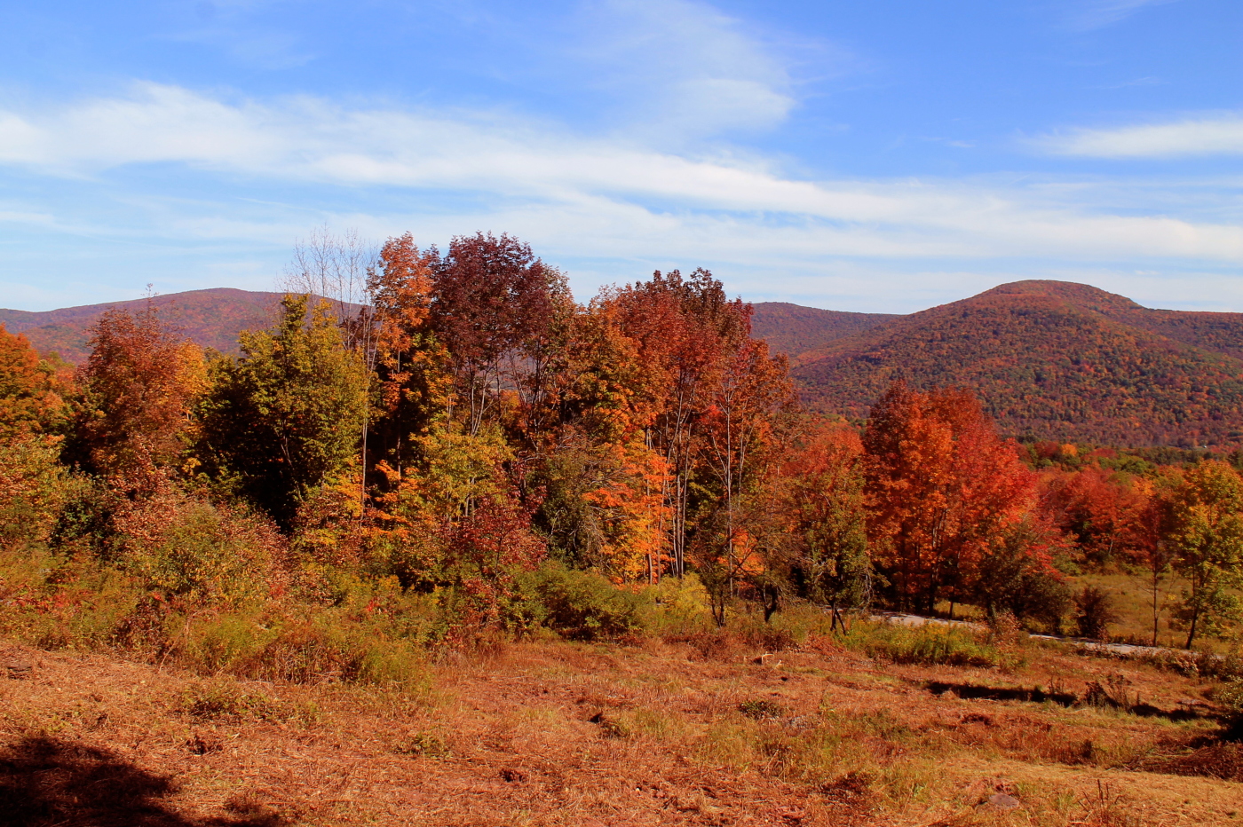
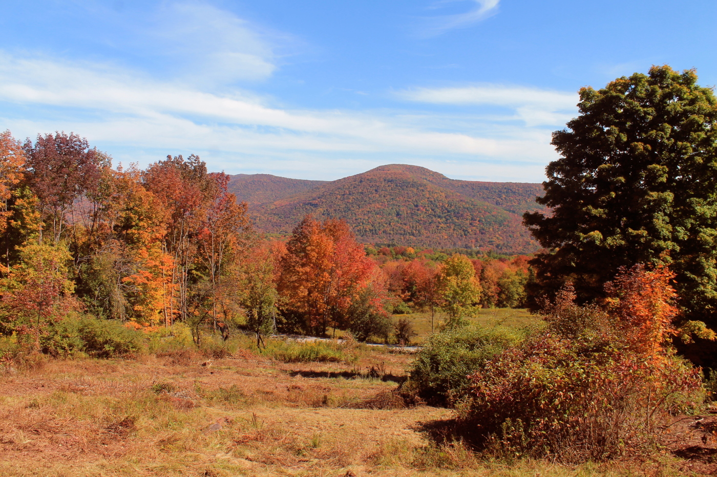
Bovina Mountains in the Distance
Very Colorful
North Towards Burnt Rossman State Forest

top o' the hill

Over Yonder

Dusk approaches over spruce lake

One of my older ones
Bovina Mountains in the Distance
DSC01809_DxO.jpg

DSC_0084.JPG

I'm not alone

sudden snow 2
DSC_0080.JPG
Topographic Map of Co Rd 18, Bloomville, NY, USA
Find elevation by address:

Places near Co Rd 18, Bloomville, NY, USA:
Lajohn Road
939 Clove Rd
Stamford
834 Crescent Valley Rd
527 New Rd
Bovina
Bovina
Bloomville
1189 Bramley Mountain Rd
787 Co Rd 5
893 Bramley Mountain Rd
1450 Bramley Mountain Rd
943 Coulter Brook Rd
1950 Winter Hollow Rd
Co Rd 6, Bovina Center, NY, USA
Bovina Center
1791 Co Rd 6
280 Apple Way
1400 Lower Meeker Hollow Rd
Andrew Gray Rd, Roxbury, NY, USA
Recent Searches:
- Elevation of Corso Fratelli Cairoli, 35, Macerata MC, Italy
- Elevation of Tallevast Rd, Sarasota, FL, USA
- Elevation of 4th St E, Sonoma, CA, USA
- Elevation of Black Hollow Rd, Pennsdale, PA, USA
- Elevation of Oakland Ave, Williamsport, PA, USA
- Elevation of Pedrógão Grande, Portugal
- Elevation of Klee Dr, Martinsburg, WV, USA
- Elevation of Via Roma, Pieranica CR, Italy
- Elevation of Tavkvetili Mountain, Georgia
- Elevation of Hartfords Bluff Cir, Mt Pleasant, SC, USA