Elevation of Co Hwy C, Hillsboro, WI, USA
Location: United States > Wisconsin > Richland County >
Longitude: -90.429988
Latitude: 43.538927
Elevation: 264m / 866feet
Barometric Pressure: 0KPa
Related Photos:
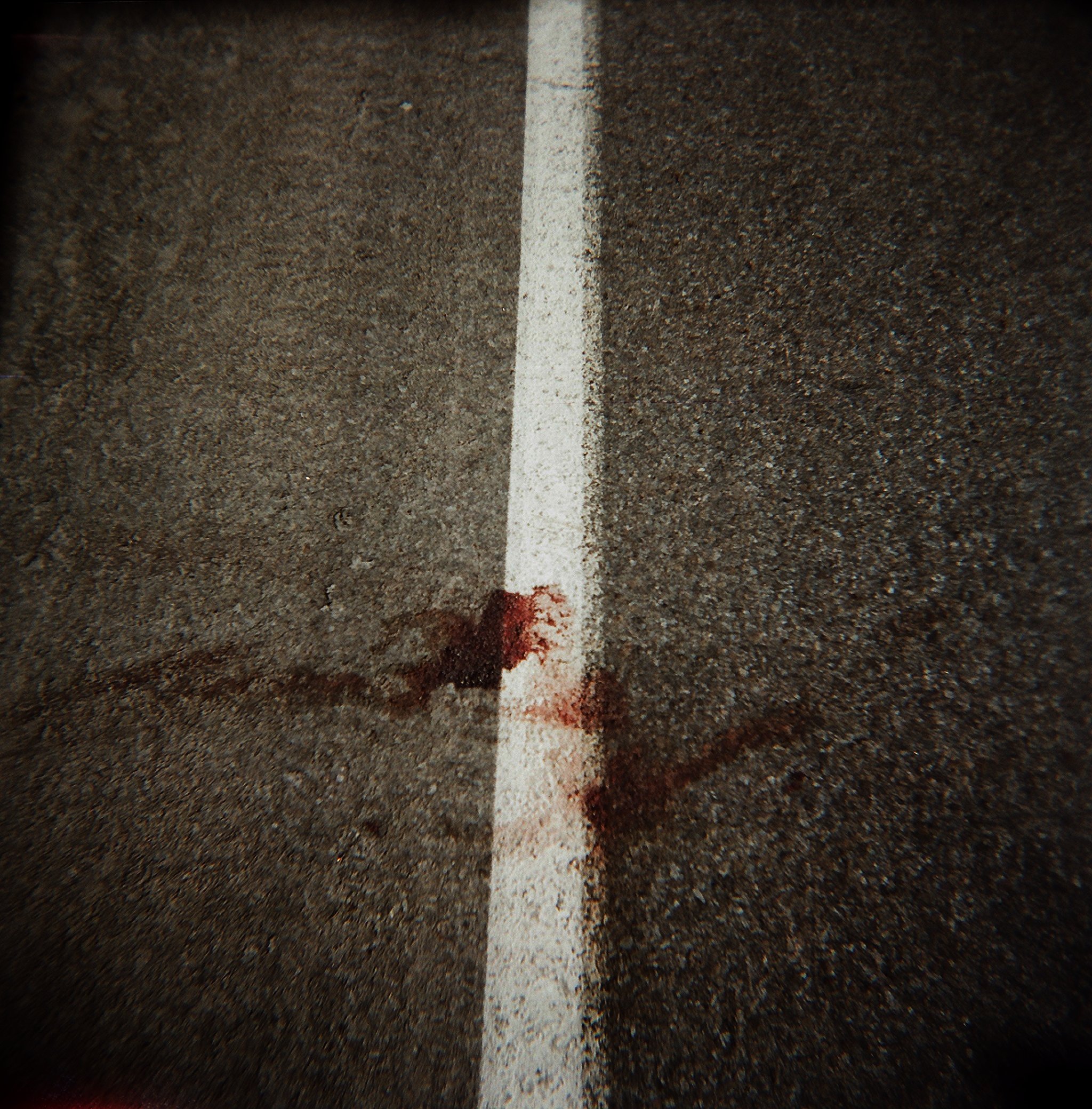
blood, highway 33

deer, hillsboro
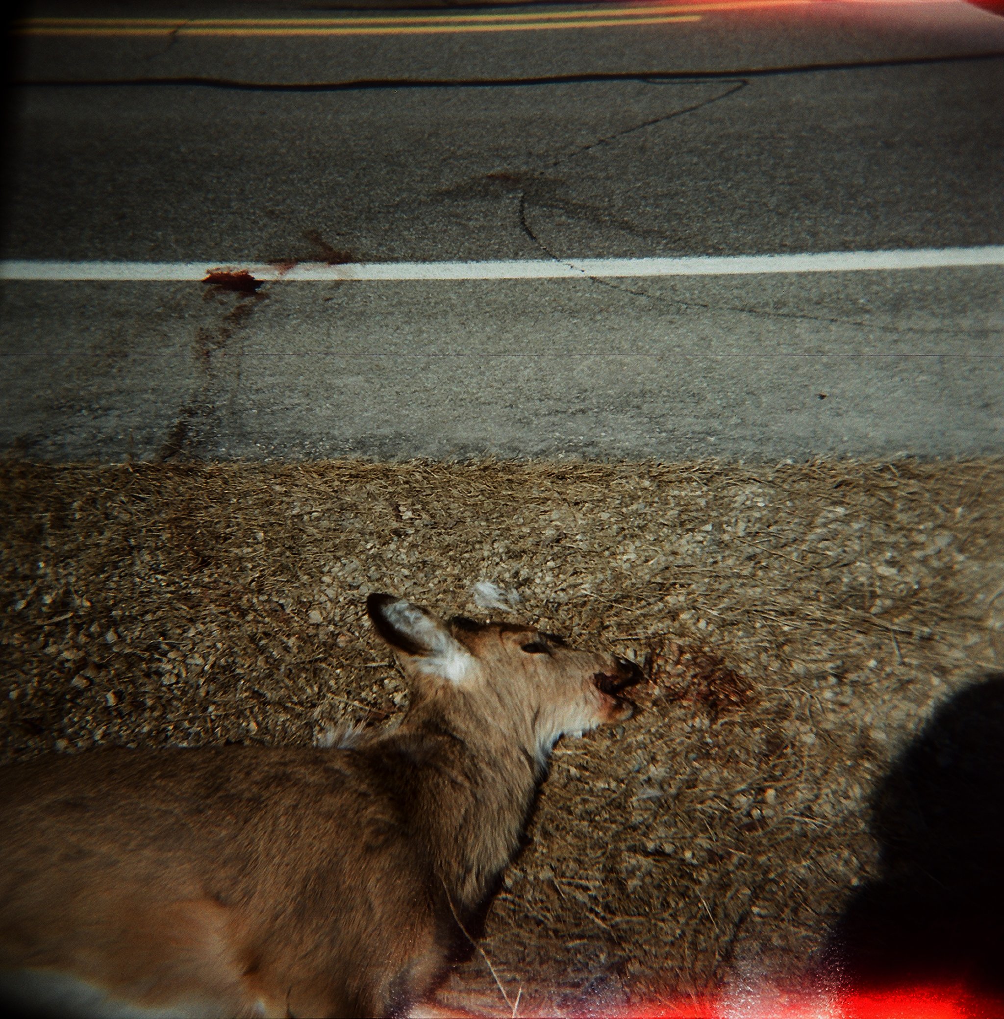
deer, highway 33

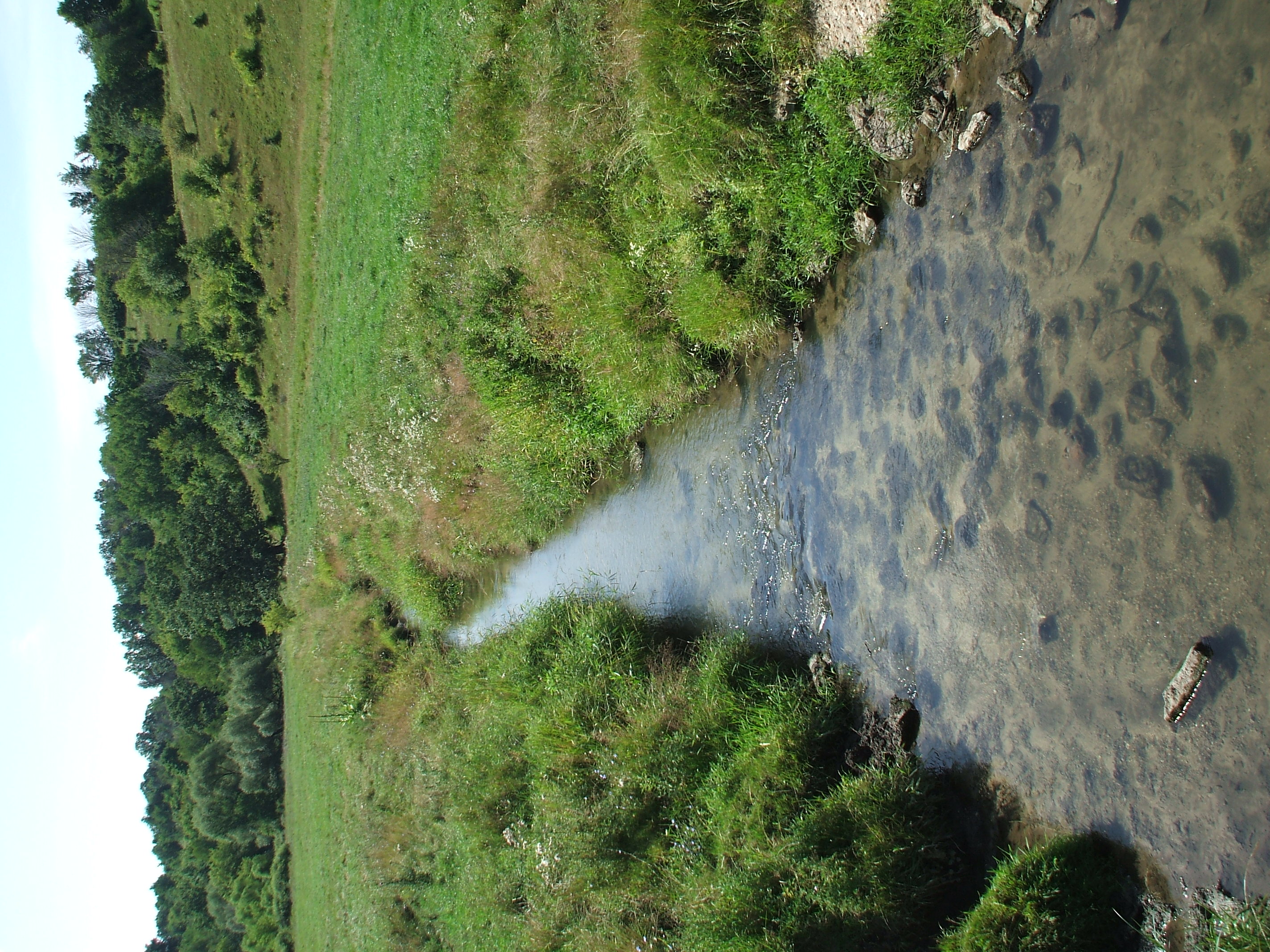
Aerial View Upstream from Bridge, Stop A4

Downstream View (SW) from Bridge, Stop A

Aerial View Upstream from Bridge, Stop A5

Downstream View, Stop A4

Aerial View Downstream, Stop A4

Downstream View (SE) from Bridge, Stop A

Aerial View Downstream View from Bridge, Stop A5
Upstream View from Bridge, Stop A5

Upstream View from Bridge, Stop A

deer, shadow

Aerial View from Bank as Chris gets in Water, Stop A3

Aerial View Looking Downstream from Bridge, Stop A2

Upstream View from Bank, Stop A3

Aerial View from Bank with Flash, Stop A3

Upstream View (NE) from Bridge, Stop A

Downstream View from Bank, Stop A3
Upstream View from Bridge, Stop A5

Upstream View (NW) from Bridge, Stop A

Letting Go of the Past

HDR Sunset

The Skies ~ 1-6-2013

Upstream View from Bridge, Stop A

Upstream View from Bridge, Stop A4

Upstream View from Bridge, Stop A4
Downstream View from Bridge, Stop A2

Decaying barn in Bloom City, Wisconsin

Farm near Bloom City, Wisconsin

2007-7-27 013

2007-7-27 021

natural-bridge-004
Topographic Map of Co Hwy C, Hillsboro, WI, USA
Find elevation by address:

Places near Co Hwy C, Hillsboro, WI, USA:
Bloom City
County Rd D, Hillsboro, WI, USA
WI-56, Richland Center, WI, USA
Rockbridge
Rockbridge
Marshall
Richland County
24291 Co Hwy A
Lingel Ln, Richland Center, WI, USA
Westford
Forest
14951 Co Hwy Nn
Richland Center
Sylvan
County Hwy E, Richland Center, WI, USA
WI-, Viola, WI, USA
Main St, Cazenovia, WI, USA
Cazenovia
Jaquish Hollow Rd, Richland Center, WI, USA
S Main St, Viola, WI, USA
Recent Searches:
- Elevation of 107, Big Apple Road, East Palatka, Putnam County, Florida, 32131, USA
- Elevation of Jiezi, Chongzhou City, Sichuan, China
- Elevation of Chongzhou City, Sichuan, China
- Elevation of Huaiyuan, Chongzhou City, Sichuan, China
- Elevation of Qingxia, Chengdu, Sichuan, China
- Elevation of Corso Fratelli Cairoli, 35, Macerata MC, Italy
- Elevation of Tallevast Rd, Sarasota, FL, USA
- Elevation of 4th St E, Sonoma, CA, USA
- Elevation of Black Hollow Rd, Pennsdale, PA, USA
- Elevation of Oakland Ave, Williamsport, PA, USA
- Elevation of Pedrógão Grande, Portugal
- Elevation of Klee Dr, Martinsburg, WV, USA
- Elevation of Via Roma, Pieranica CR, Italy
- Elevation of Tavkvetili Mountain, Georgia
- Elevation of Hartfords Bluff Cir, Mt Pleasant, SC, USA
- Elevation of SW Barberry Dr, Beaverton, OR, USA
- Elevation of Old Ahsahka Grade, Ahsahka, ID, USA
- Elevation of State Hwy F, Pacific, MO, USA
- Elevation of Chemin de Bel air, Chem. de Bel air, Mougins, France
- Elevation of Cloverdale Dr, Bloomingdale, GA, USA