Elevation of Co Hwy 13, Xenia, IL, USA
Location: United States > Illinois > Wayne County > Orchard Township >
Longitude: -88.649814
Latitude: 38.5085458
Elevation: 159m / 522feet
Barometric Pressure: 99KPa
Elevation Map:
Satellite Map:
Related Photos:

Marion Co., IL

Grade School
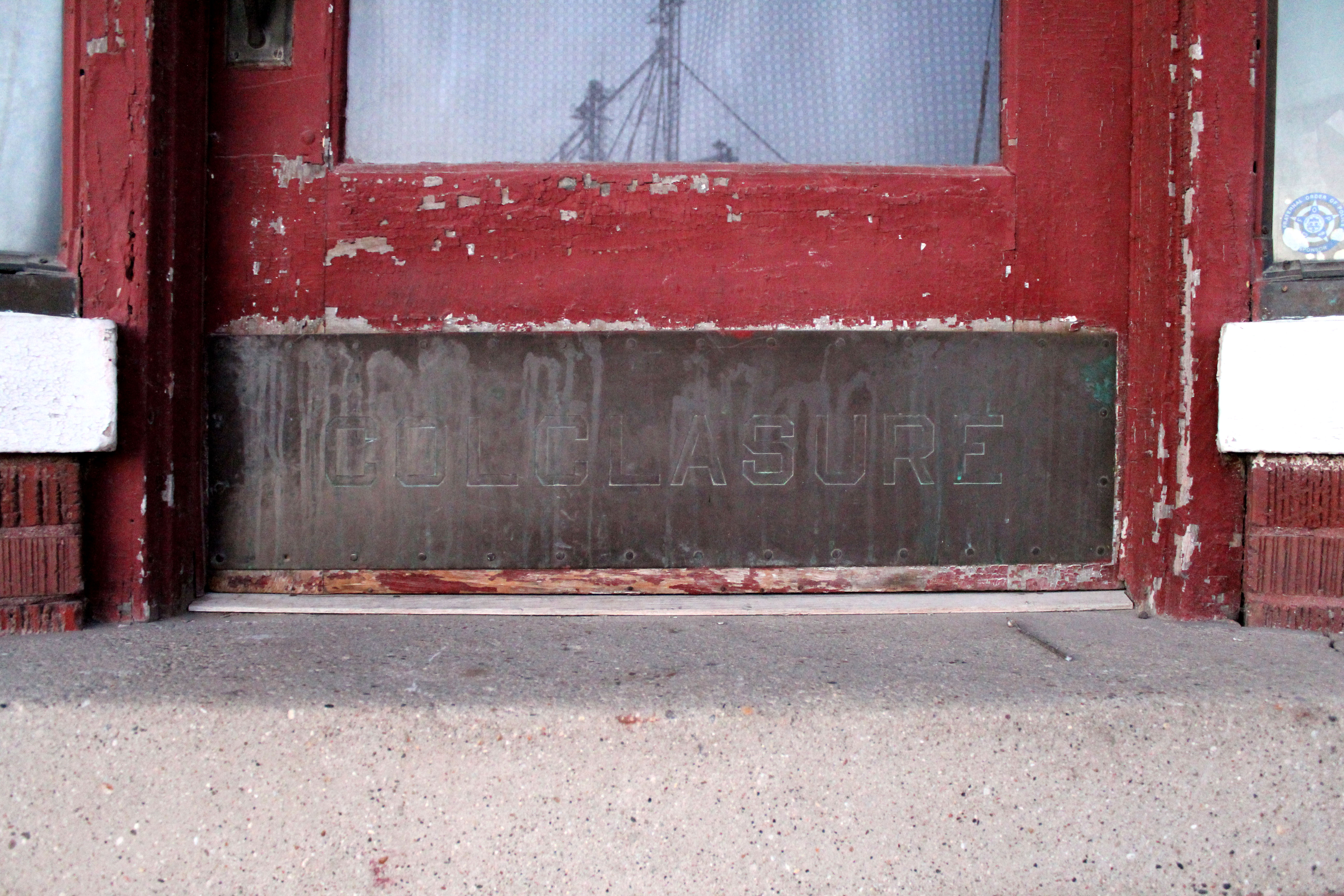
Colclasure's kickplate
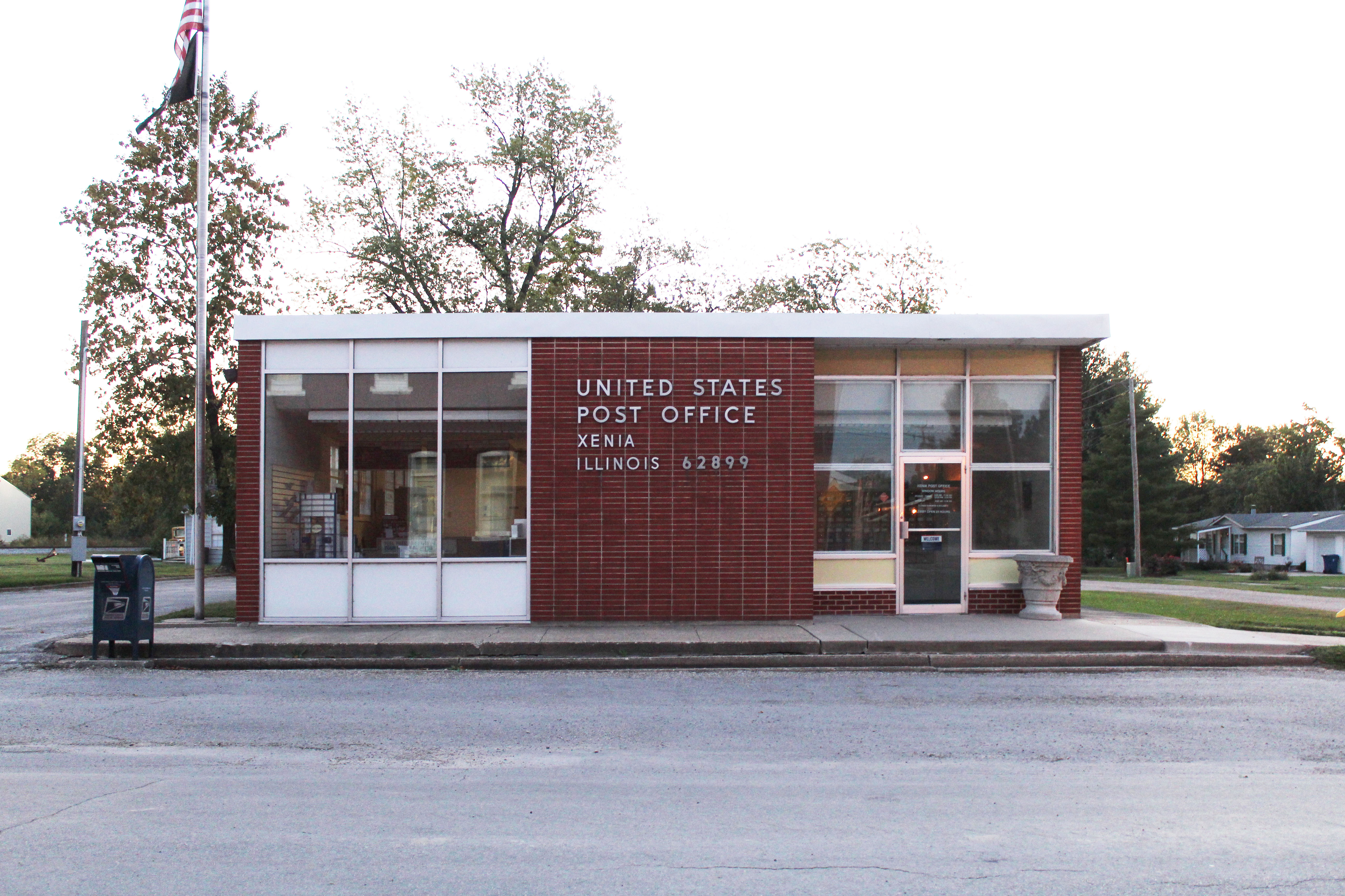
Post Office
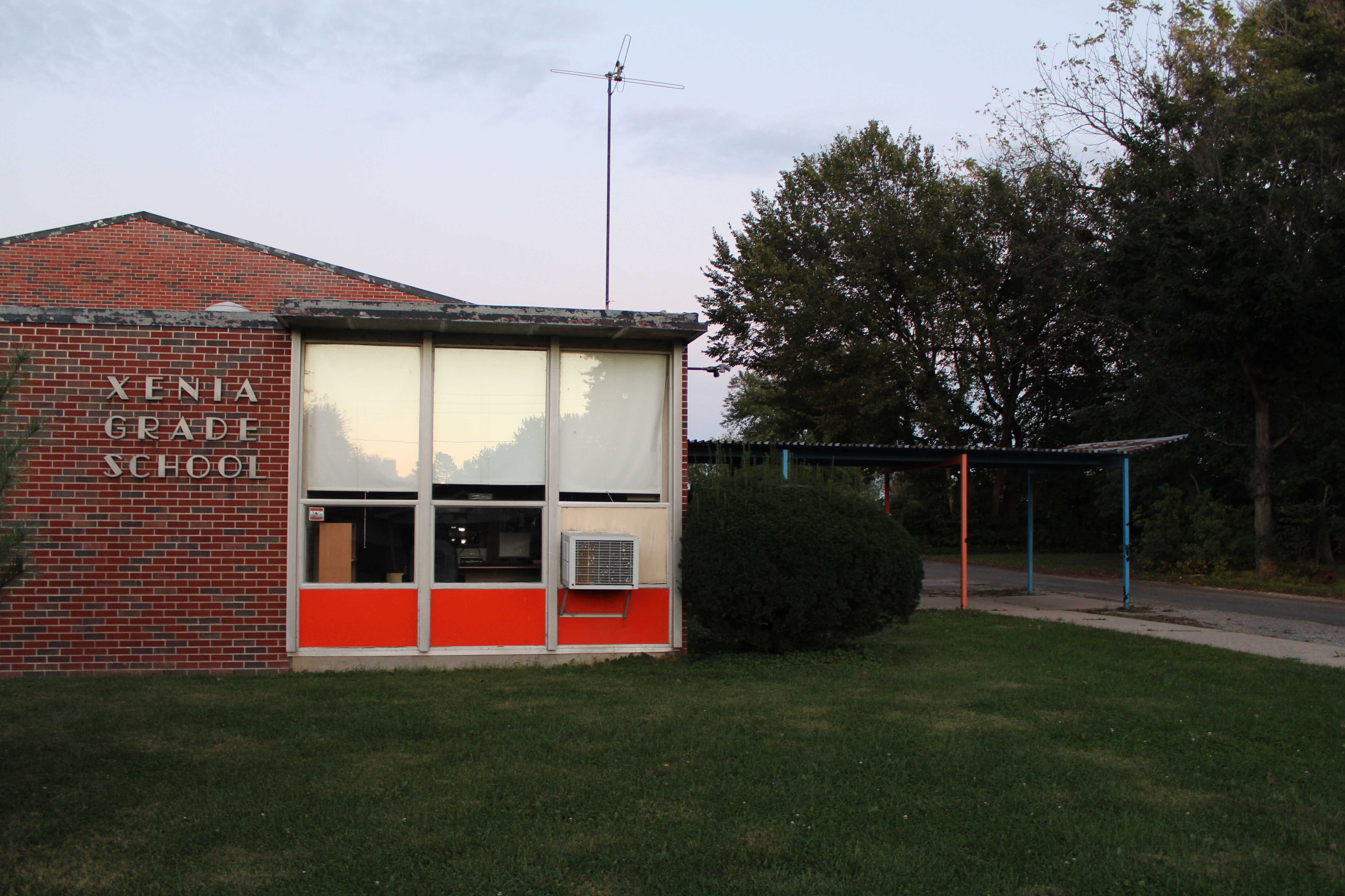
Xenia Grade School

Water tower
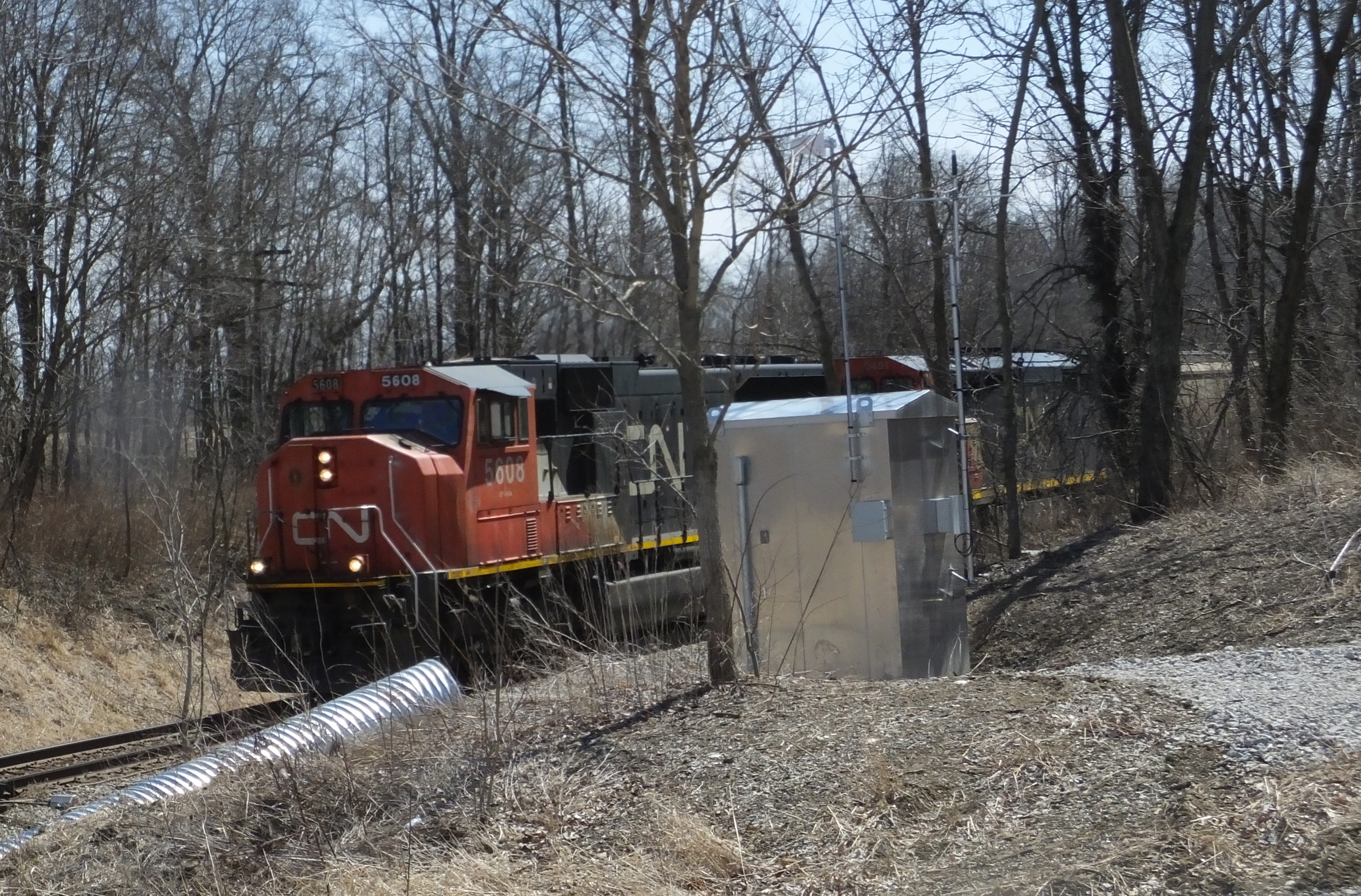
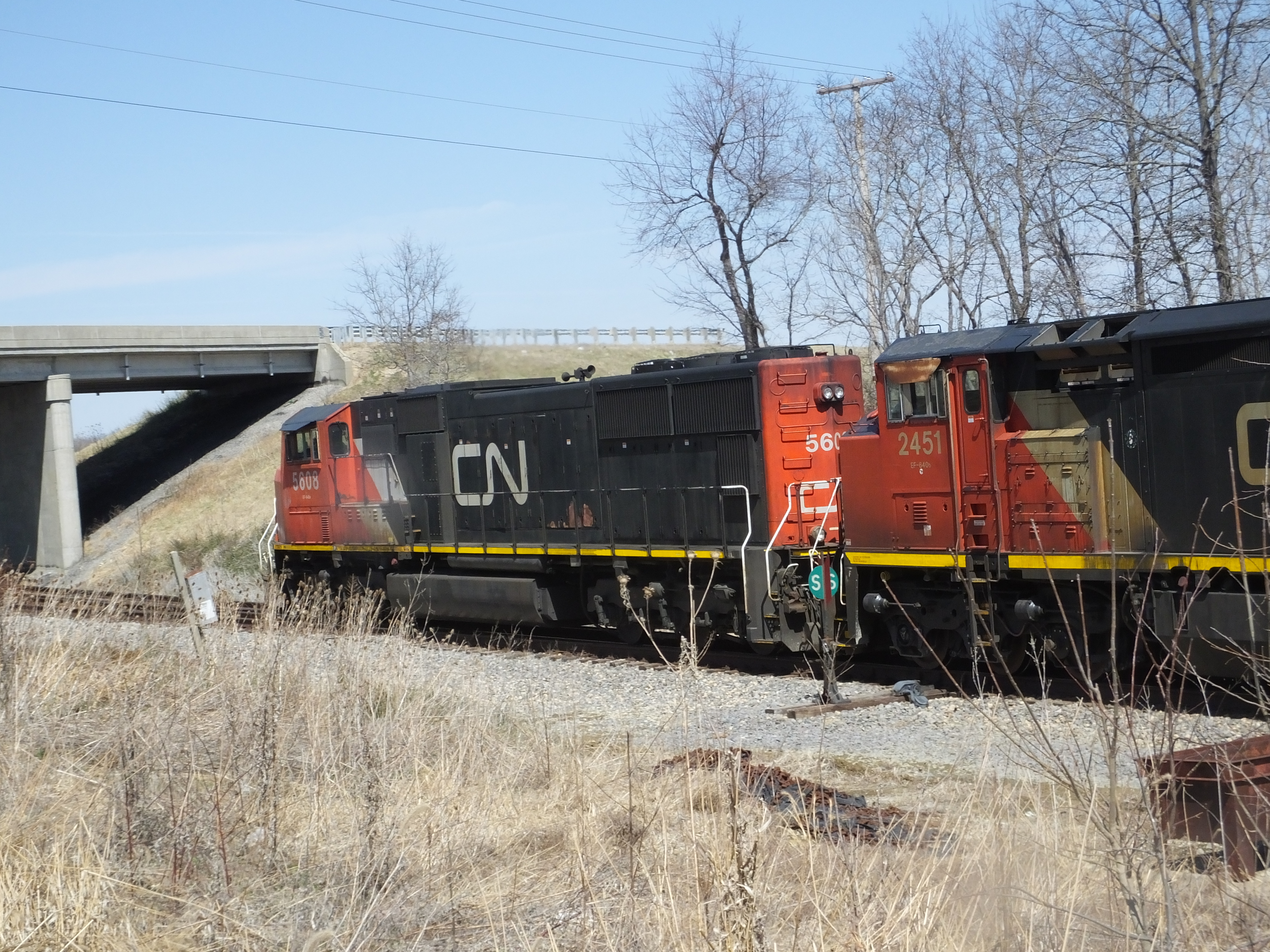
CN 5608 3/31/2014
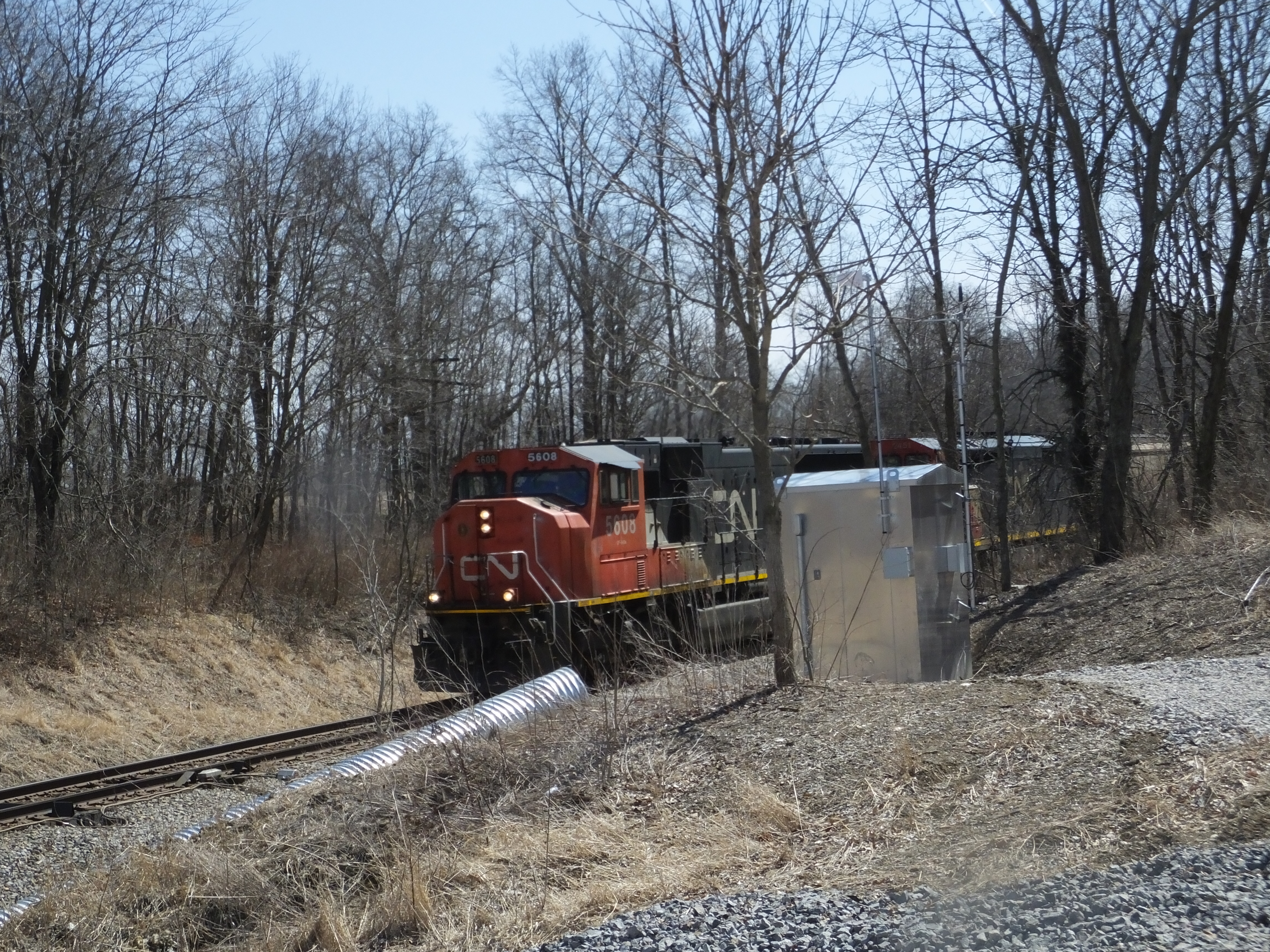
CN 5608 3/31/2014
CN 5608 3/31/2014
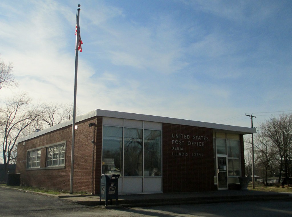
Post Office 62899 (Xenia, Illinois)
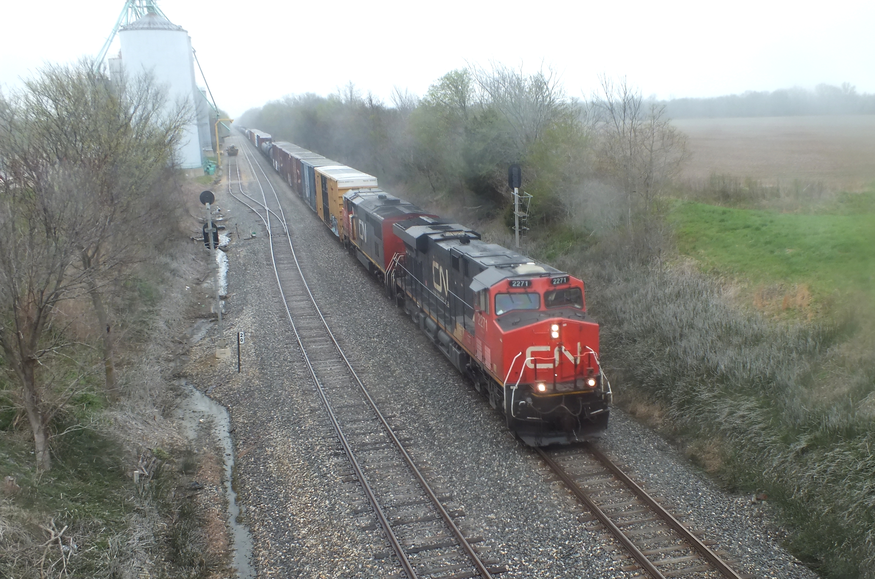
CN 2271 4/16/2013

Wild Tiger lilies

Slillet Fork Bridge 19151
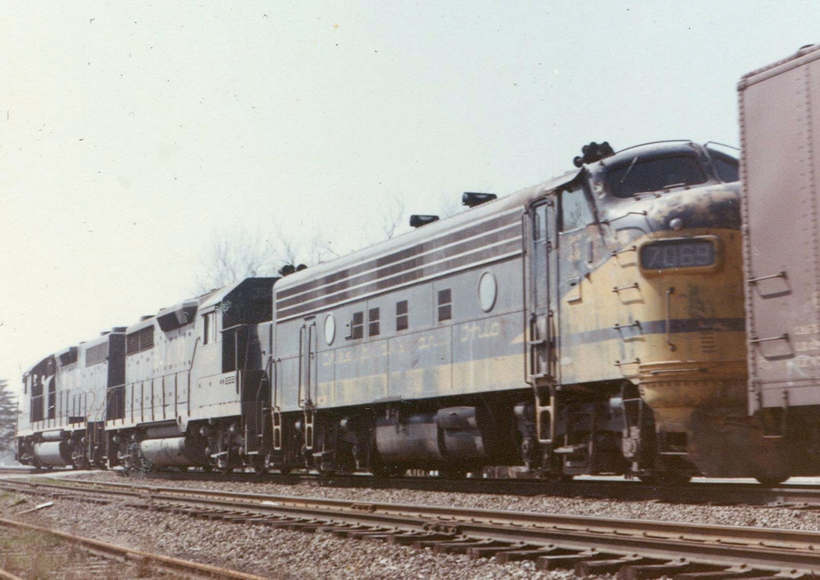
C&O 7069 4-68
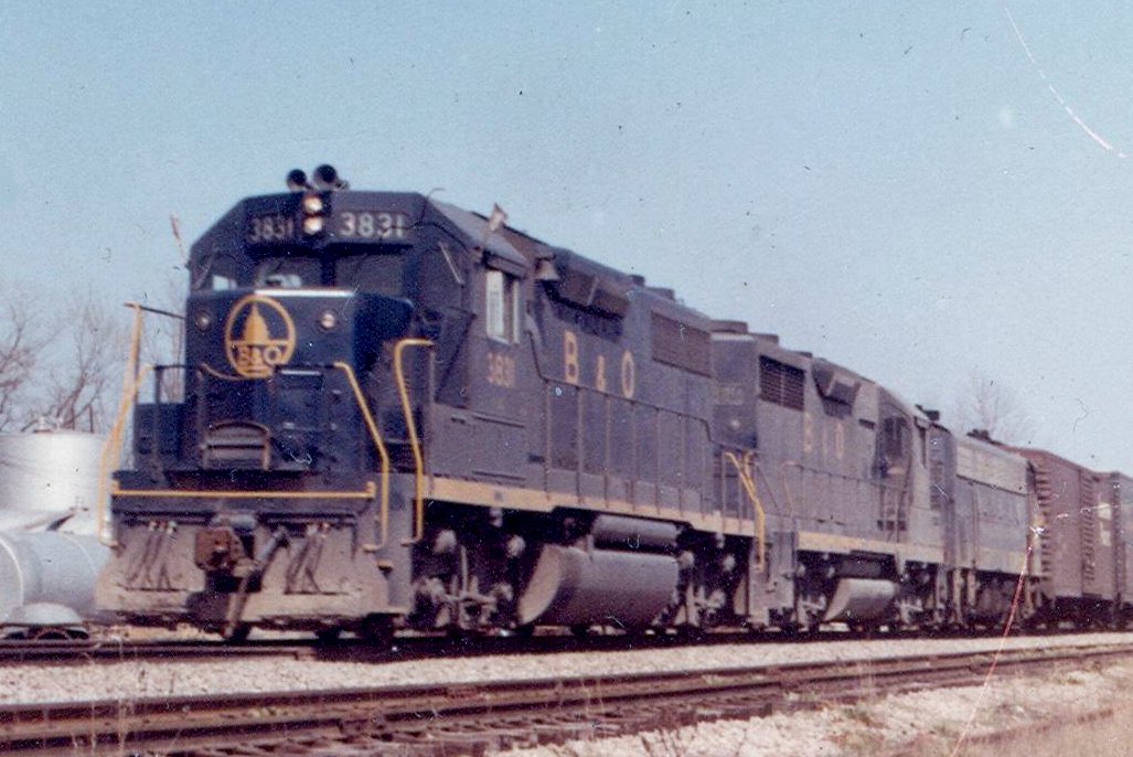
B&O 3831 4-68
Topographic Map of Co Hwy 13, Xenia, IL, USA
Find elevation by address:

Places near Co Hwy 13, Xenia, IL, USA:
Orchard Township
East Denker Road
Blue Jay Lane
Bluford, IL, USA
21046 E Swan Rd
Washington St, Keenes, IL, USA
Keenes
Four Mile Township
21490 N Stratford Ln
21490 N Stratford Ln
Bluford
Webber Township
19913 E Sandpiper Rd
Haines Township
Jefferson Field Lane
Field Township
Kell
4th St, Kell, IL, USA
Opdyke
18000 Il-37
Recent Searches:
- Elevation of Corso Fratelli Cairoli, 35, Macerata MC, Italy
- Elevation of Tallevast Rd, Sarasota, FL, USA
- Elevation of 4th St E, Sonoma, CA, USA
- Elevation of Black Hollow Rd, Pennsdale, PA, USA
- Elevation of Oakland Ave, Williamsport, PA, USA
- Elevation of Pedrógão Grande, Portugal
- Elevation of Klee Dr, Martinsburg, WV, USA
- Elevation of Via Roma, Pieranica CR, Italy
- Elevation of Tavkvetili Mountain, Georgia
- Elevation of Hartfords Bluff Cir, Mt Pleasant, SC, USA