Elevation of Cluculz Lake, Vanderhoof, BC V0J, Canada
Location: Canada > British Columbia > Bulkley-nechako > Bulkley-nechako F > Vanderhoof >
Longitude: -123.57669
Latitude: 53.8791405
Elevation: 767m / 2516feet
Barometric Pressure: 92KPa
Elevation Map:
Satellite Map:
Related Photos:
Bulkley-Nechako F-20110520-05277
Sure love the recreational sites #hellobc has to offer. This #rvcanada trip #explorebc sure gets addictive. #gorving
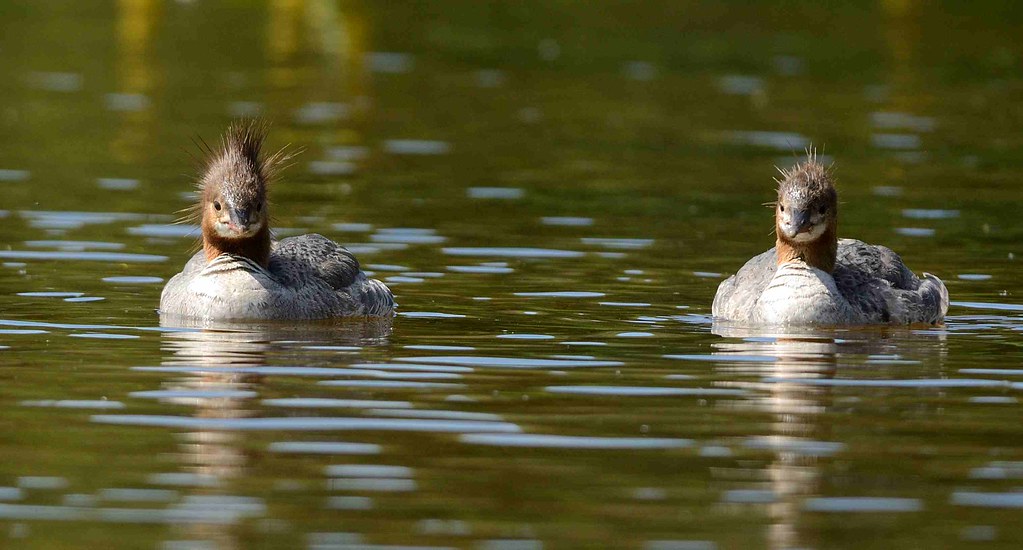
Common merganser ....the ladies
Topographic Map of Cluculz Lake, Vanderhoof, BC V0J, Canada
Find elevation by address:

Places near Cluculz Lake, Vanderhoof, BC V0J, Canada:
Nechako River
Ness Lake
Fraser-fort George A
Fraser-fort George C
Chief Lake
Chief Lake Rd, Prince George, BC V2K 5K8, Canada
Nukko Lake
13000 Marvin Rd
13000 Marvin Rd
11905 Ensilwood Rd
1790 Catherine Dr
8141 Otway Rd
361 Willmann Rd
361 Willmann Rd
Beaverly Elementary
Forests For The World
Bench Drive
5060 Avril Rd
Rosia Road
4723 Freimuller Ave
Recent Searches:
- Elevation of Corso Fratelli Cairoli, 35, Macerata MC, Italy
- Elevation of Tallevast Rd, Sarasota, FL, USA
- Elevation of 4th St E, Sonoma, CA, USA
- Elevation of Black Hollow Rd, Pennsdale, PA, USA
- Elevation of Oakland Ave, Williamsport, PA, USA
- Elevation of Pedrógão Grande, Portugal
- Elevation of Klee Dr, Martinsburg, WV, USA
- Elevation of Via Roma, Pieranica CR, Italy
- Elevation of Tavkvetili Mountain, Georgia
- Elevation of Hartfords Bluff Cir, Mt Pleasant, SC, USA