Elevation of Cloudy Peak, Improvement District No. 4, AB T0K, Canada

Location: Canada > Alberta > Division No. 3 > Improvement District No. 4 >

Longitude: -114.00666

Latitude: 49.165

Elevation: 2541m / 8337feet

Barometric Pressure: 74KPa

Elevation Map:

elevation map of Cloudy Peak, Improvement District No. 4, AB T0K, Canada

Satellite Map:

Satellite map of Cloudy Peak, Improvement District No. 4, AB T0K, Canada

Related Photos:

trees lake canada mountains nature overcast worldheritagesite alberta valley portfolio day6 peacepark lookingsouth watertonpark watertonlakesnationalpark project365 colorefexpro watertonglacierinternationalpeacepark upperwatertonlake citadelpeaks mountboswell nikond800e mountainsoffindistance aroundtheprinceofwaleshotel
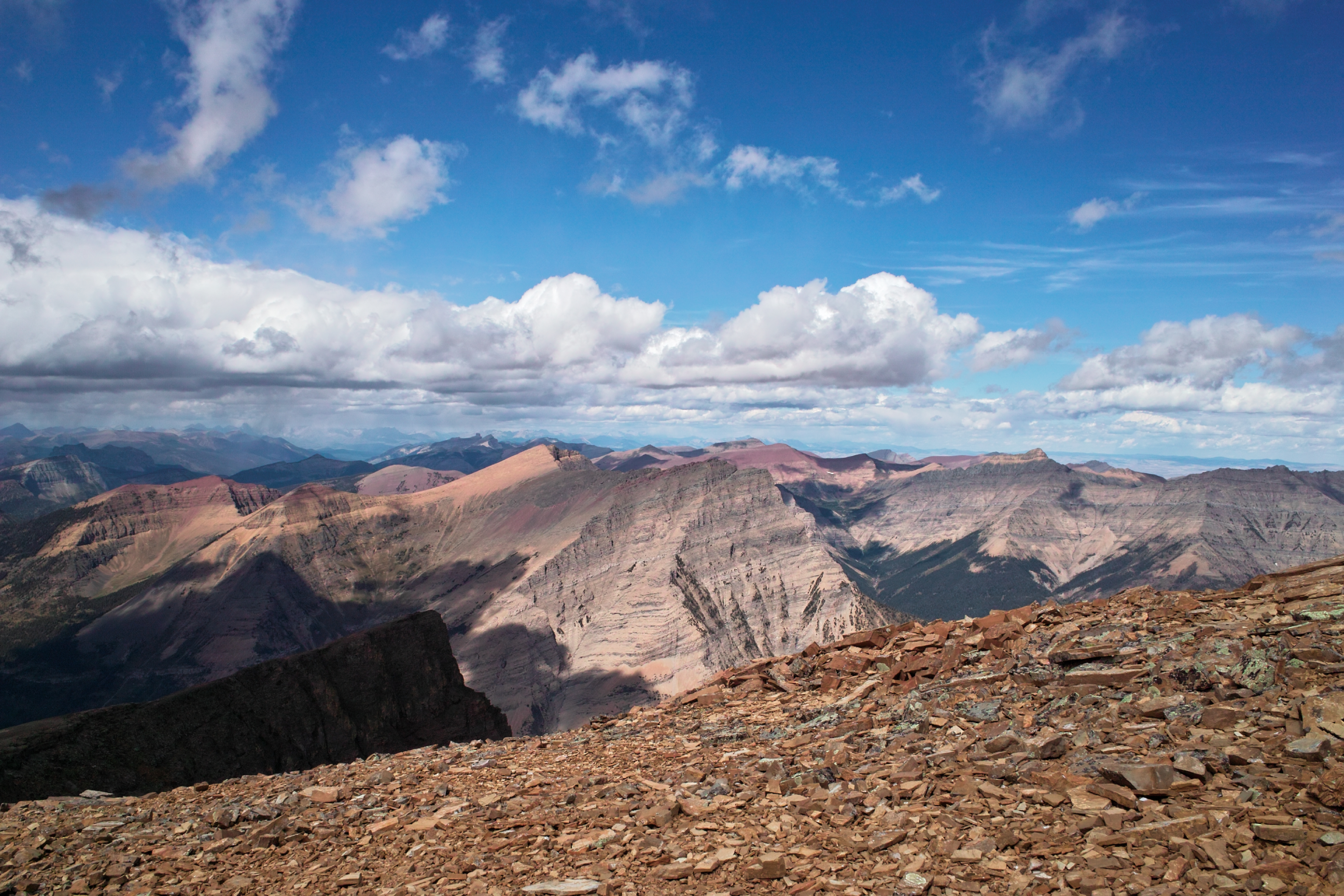
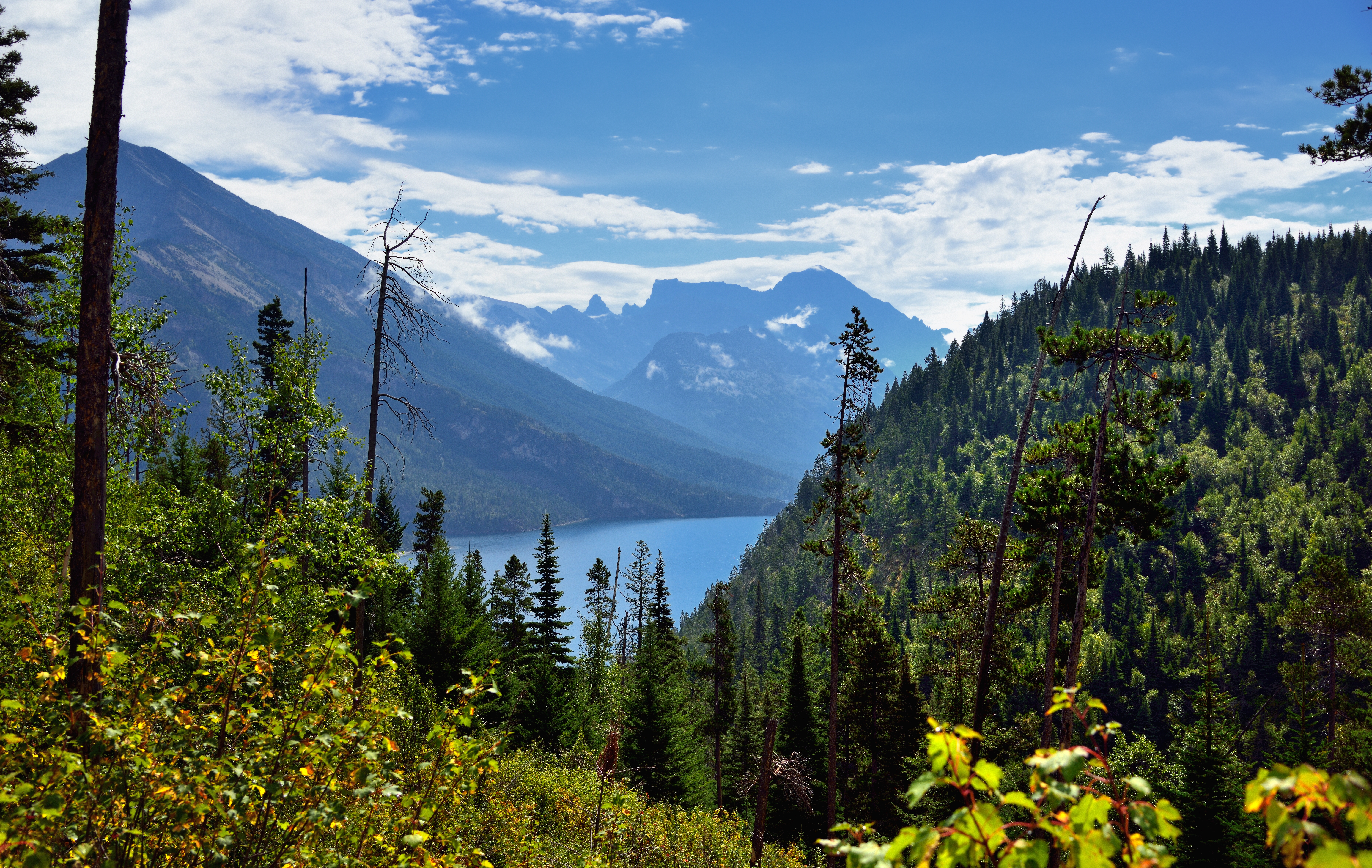
Upper Waterton Lake and a View into the U.S.
redrockcanyon trees canada mountains nature alberta portfolio day5 peacepark canadianrockies watertonpark watertonlakesnationalpark project365 colorefexpro watertonglacierinternationalpeacepark andersonpeak mountblakiston redrockparkway mountainsindistance blueskieswithclouds nikond800e
A View of Anderson Peak
lostmountain
SDIM0340 view to north
summer canada mountains nature landscape rockies high view bright outdoor altitude scenic sunny alpine alberta summit elevation rugged watertonnationalpark mountainous
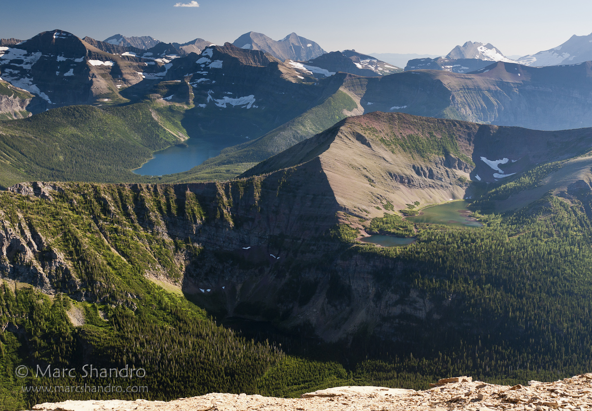
Summit View From Mount Lineham, Waterton
trees canada mountains nature highway day cloudy canvas alberta portfolio day5 hwy6 canadianrockies lookingsouth hillsides utilitypoles project365 electricpoles colorefexpro grassyfields rollinghillsides citadelpeaks sofamountain vimypeak utilitycables blueskieswithclouds mountcleveland mountcampbell nikond800e mountainsoffindistance drivetowatertonab
Road to the Mountains
cathedralpeak watertonlakesnationalpark wahcheecheemountain
Cathedral Peak viewed from Bertha Falls trail
nice view of Miskwasini Peak, Kenow Mtn and Langemarck Mtn
park wood travel winter wild vacation sky plants cloud sun mountain lake canada reflection tree green tourism nature water beautiful grass weather clouds forest landscape outside nationalpark log scenery rocks day waves bc view natural bright cloudy outdoor stones scenic nobody columbia lakeside national alberta valley trunk destination british serene meditation wilderness splash majestic timbers watertonlakesnationalpark
Waterton Lakes Clouds
redrockcanyon canada explore alberta watertonpark cans2s mostbeautifulpictures
Colorful Nature
road trees lake canada mountains nature overcast worldheritagesite alberta day6 peacepark balconyview rangerstation watertonpark hillsides watertonlakesnationalpark lookingnorth project365 colorefexpro watertonglacierinternationalpeacepark linnetlake mountcrandell nikond800e aroundtheprinceofwaleshotel
Mountains and a Ranger Station
sunset canada mountains nature alberta blueskies prairie portfolio day6 lookingwest watertonpark nearsunset watertonlakesnationalpark sunsettime project365 colorefexpro watertonglacierinternationalpeacepark grassymeadow grassyfields grassyarea redrockparkway mountgalwey mountainindistance nikond800e wherethemountainsmeettheprairie
Where the Prairies Meet the Mountains
trees canada mountains nature alberta prairie day5 peacepark canadianrockies watertonpark watertonlakesnationalpark project365 colorefexpro watertonglacierinternationalpeacepark andersonpeak grassymeadow grassyfields grassyarea redrockparkway mountainsindistance blueskieswithclouds nikond800e
Prairie and Anderson Peak
redrockcanyon trees canada mountains nature alberta valley day5 peacepark hikingtrail canadianrockies watertonpark hillsides watertonlakesnationalpark project365 colorefexpro watertonglacierinternationalpeacepark redrockparkway peoplehiking mountainsindistance blueskieswithclouds nikond800e hillsidestrees
Walking around Red Rocks Canyon
trees lake canada mountains nature overcast worldheritagesite alberta valley portfolio day6 peacepark lookingsouth watertonpark watertonlakesnationalpark project365 colorefexpro watertonglacierinternationalpeacepark upperwatertonlake citadelpeaks mountboswell nikond800e mountainsoffindistance hiketoberthafallsandback
Mountains to Take in While Hiking to Bertha Falls
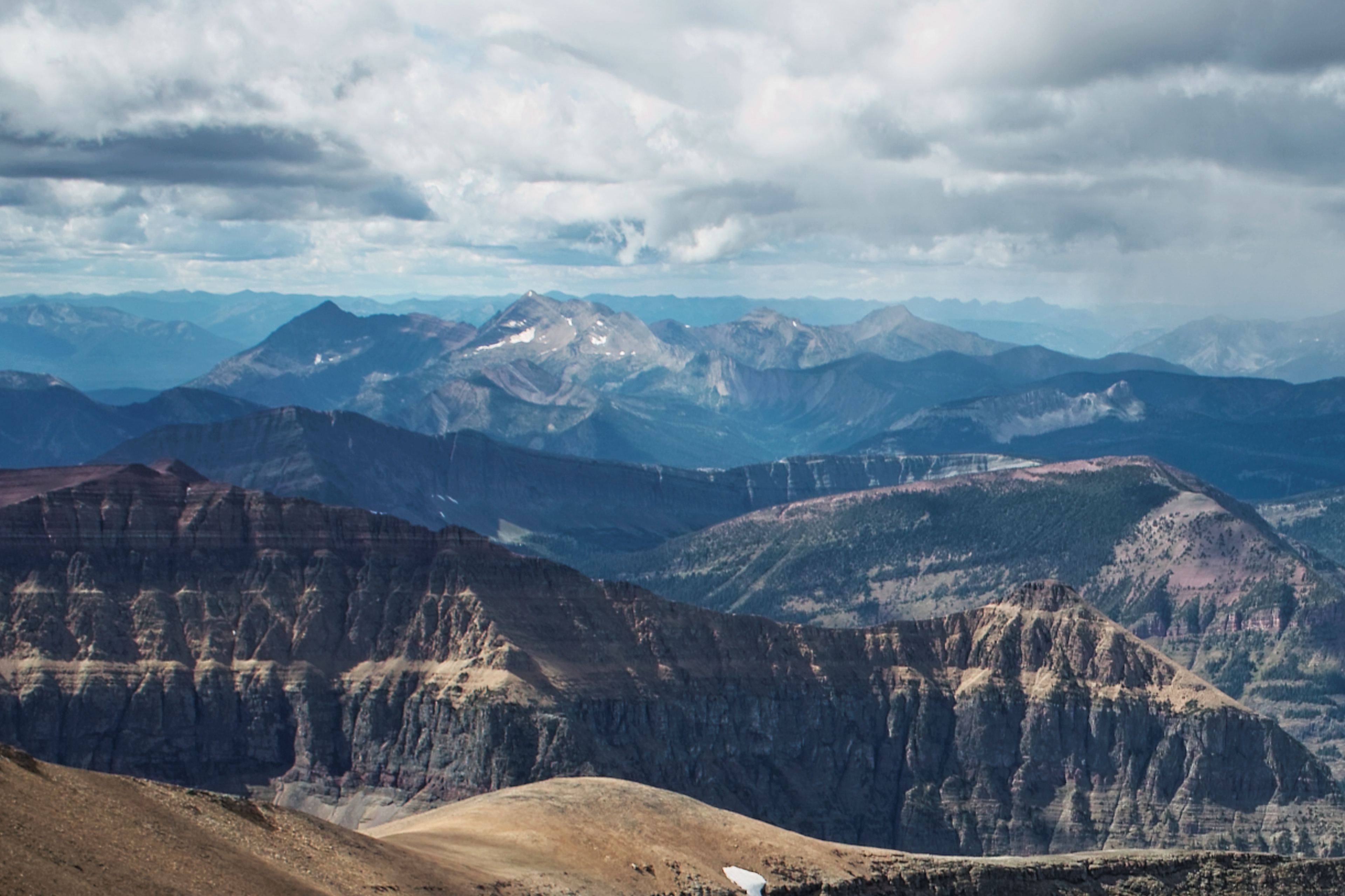
trees light sky snow mountains nature colors clouds canon landscape nationalpark shadows view alberta valley layers
A View
trees lake canada mountains nature worldheritagesite canvas alberta valley portfolio day6 peacepark watertonpark watertonlakesnationalpark lookingse project365 colorefexpro watertonglacierinternationalpeacepark upperwatertonlake blueskieswithclouds mountboswell mountcleveland nikond800e cloudsaroundmountains goathauntmountain mountainsoffindistance hiketoberthafallsandback
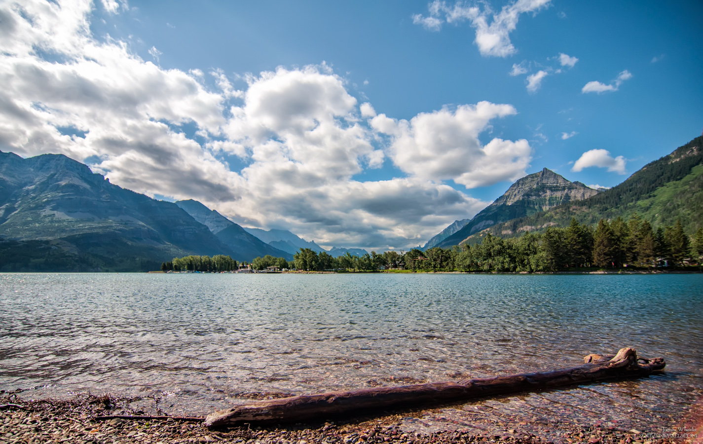
Mountains around Upper Waterton Lakes
trees sunset canada mountains nature creek canvas alberta mountainside portfolio day6 lookingwest watertonpark nearsunset watertonlakesnationalpark sunsettime project365 colorefexpro watertonglacierinternationalpeacepark andersonpeak mountblakiston blakistoncreek redrockparkway blueskieswithclouds nikond800e mountainsoffindistance
Sunset in the Canadian Rockies
redrockcanyon autumn canada fall alberta waterton canadianrockies coth watertonlakesnationalpark mountblakiston
A bridge worth crossing and a path worth taking.
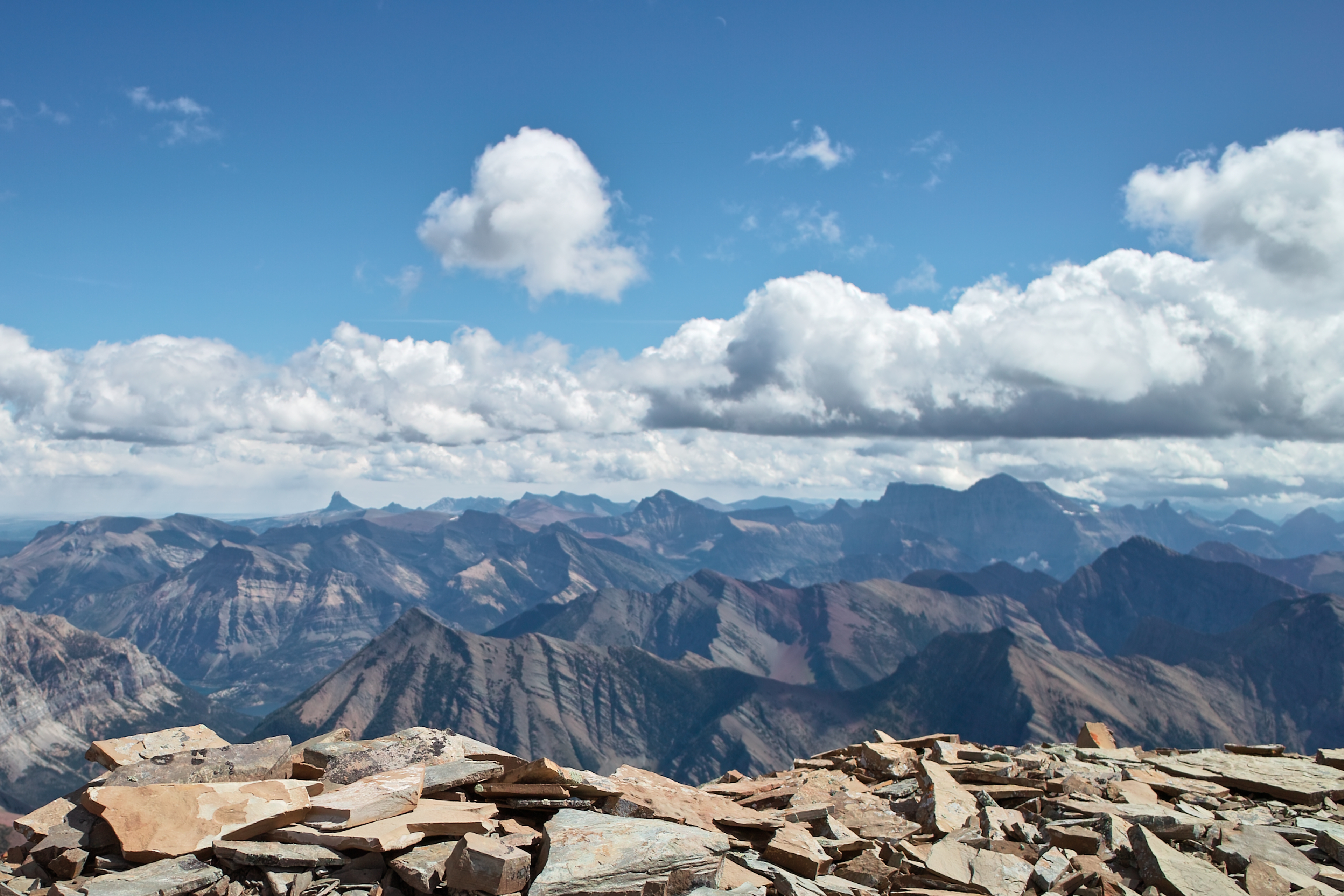
A dreamy sea of peaks
starvationpeak mountcarthew longknifepeak kingedwardpeak langemarckmountain kenowmountain miskwasinipeak kishinenaridge
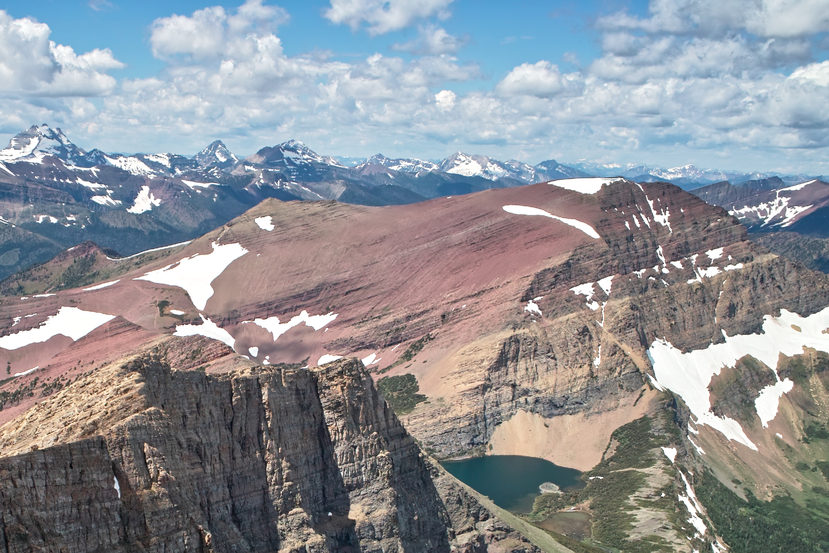
SDIM0398 Mount Carthew, Waterton Lakes National Park, Canada
canada ab worldheritagesite alberta hdr 2014 watertonlakesnationalpark
View of Upper Waterton Lake from Prince of Wales, Waterton Lakes National Park, Alberta HDR