Elevation of Clinton, ON N0M, Canada

Location: Canada > Ontario > Huron County > Central Huron >

Longitude: -81.539395

Latitude: 43.6172804

Elevation: 287m / 942feet

Barometric Pressure: 98KPa

Elevation Map:

elevation map of Clinton, ON N0M, Canada

Satellite Map:

Satellite map of Clinton, ON N0M, Canada

Related Photos:

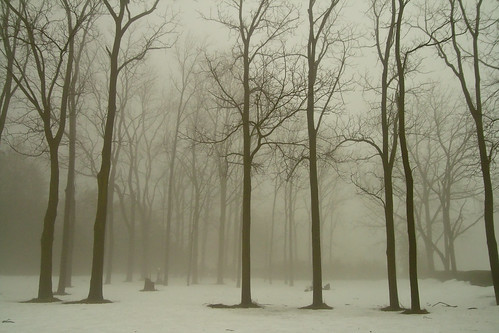
winter snow tree fog forest
Scenic Haiku
longexposure blackandwhite ontario canada water square seascapes greatlakes lakehuron lakescapes nd110
For A Moment I Was Not Alone
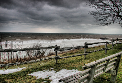
lake ontario canada bench view hdr bayfield lawka lonelybench cans2s
laweczka /bench
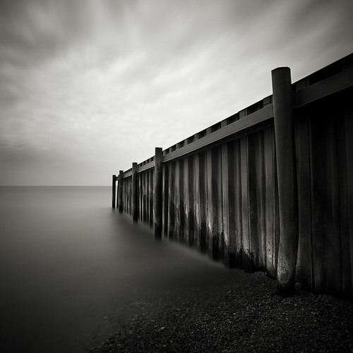
longexposure blackandwhite ontario canada water square seascapes jetty greatlakes lakehuron lakescapes nd110
Steel Jetty
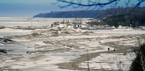
trees lake beach walking frozen sand harbour
The Bayfield Harbour
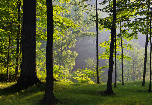
ontario dawn places sunsetpoint timeofday timeofdayyear
Early Morning Light
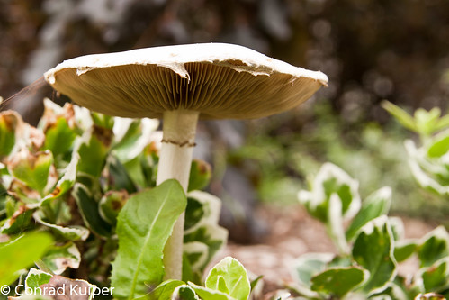
mushroom
A Fungus Among Us
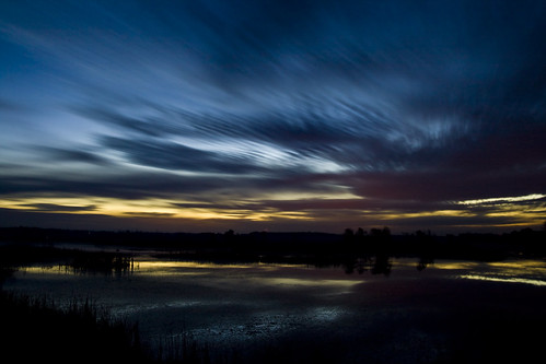
fall long exposure hullett
Half hour before sunrise - 2 minute exposure
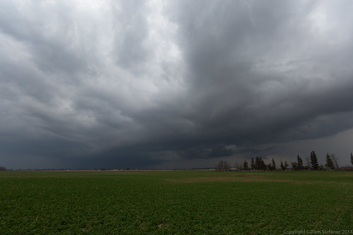
ontario canada huroneast
Seaforth Storm
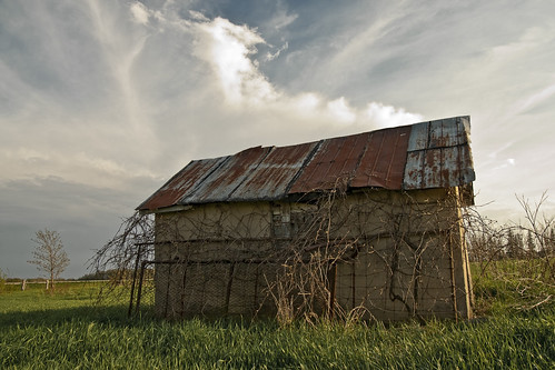
shed
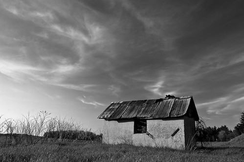
Abandoned Wellhouse
lake ontario canada bench view hdr bayfield lawka lonelybench cans2s
laweczka /bench
shed
Wellhouse in Grey
ontario canada water bluewater estuary summertime bayfield lakeviews brownwater lukehuron
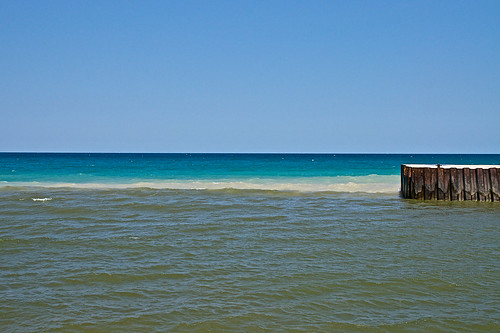
Out Of The Estuary
fall cemetery gravestone
Cemetery 3
wood blue trees summer sky woman brown lake ontario canada storm west color colour tree green heritage beach nature water girl leaves weather leather lady clouds stairs rural dark hair point landscape grey back sand community day village waterfront view watches branches horizon watching perspective shoreline lakes platform bluewater scenic panoramic lookout canadian ombre historic stairway greatlakes jacket shore edge northamerica summertime railing breeze lakehuron lakefront bayfield balletflats westernontario bodyofwater huroncounty lachuron henrywolseybayfield
Lake Huron
river mills ashfield gristmill goderich benmiller ontariomills colborne maitlandriver wawanosh historicmills watermills oldmills rivermill huroncounty pfrimmer ontariohistoricmills
Benmiller River Mill.jpg
tree
Maple Tree Budding
mills ashfield goderich benmiller ontariomills colborne maitlandriver wawanosh gledhill historicmills woolenmill watermills oldmills huroncounty sharpescreek ontariohistoricmills
Benmiller Woolen Mill.jpg
brown pod seed husk spiny pcobwinter
Empty Husk
sunset lake pier boat harbour huron bayfield
Bayfield Harbour
park lake scenery pioneer huron bayfield
Bayfield, Ontario
canon ii 7d huron mk lobb maitland
Forest Stroll
winter sunset lake snow ontario canada ice clouds bayfield snowbird 2014
Bayfield – Snowbird
travel trees sunset lake ontario canada tree nature clouds marina reflections river landscape geotagged evening pier boat spring dock fx ff huron bayfield iamcanadian photomatix tokinaatx1628f28profx nikond800e canpatsfan scottproudfootphotographycom
Bayfield Marina At Sunset
longexposure light sunset ontario canada beach wet water pier rocks dusk shoreline whale bayfield nikond800e sigma35mmf14dghsm scottproudfootphotographycom
Bayfield Sunset - On The Rocks, Please
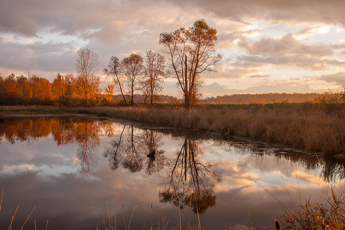
hulletmarsh
Hullet Marsh
Park Hullet Ontario Canada
ontario windmill reflections nikon day bluewater clear bayfield ecopark 24120 d7000 windmilllake
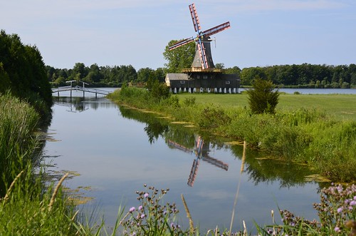
Windmill Lake & Eco Park, Bayfield, Ontario
Hullett Marsh
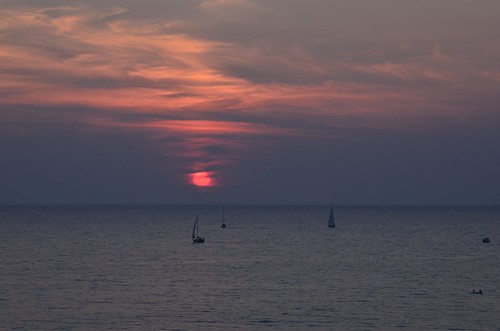
sunset ontario nikon cloudy sailboats sunsetpark bayfield d7000
Sunset Park, Bayfield, Ontario
fall canon sigma photowalk hdr 50d
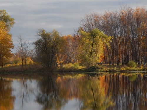
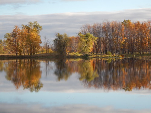
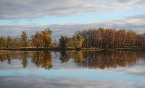
Hullett Morning
morning fall canon dawn photowalk 50d pcob
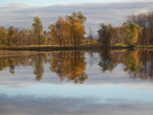
Reflections of Dawn
Photowalk Hullett
Photowalk Hullett
canon flood outdoor sigma 7dmkii
Flooding in Hullett
falls benmiller
Benmiller Falls 1
Park Hullet Ontario Canada
Photowalk Hullett
fall nature landscape huroncounty
CRW_5604.jpg
pcob
Hullet Marsh