Elevation of Clint Gilley Road, Clint Gilley Rd, Warrensville, NC, USA
Location: United States > North Carolina > Ashe County > Clifton >
Longitude: -81.551174
Latitude: 36.454699
Elevation: 877m / 2877feet
Barometric Pressure: 91KPa
Elevation Map:
Satellite Map:
Related Photos:

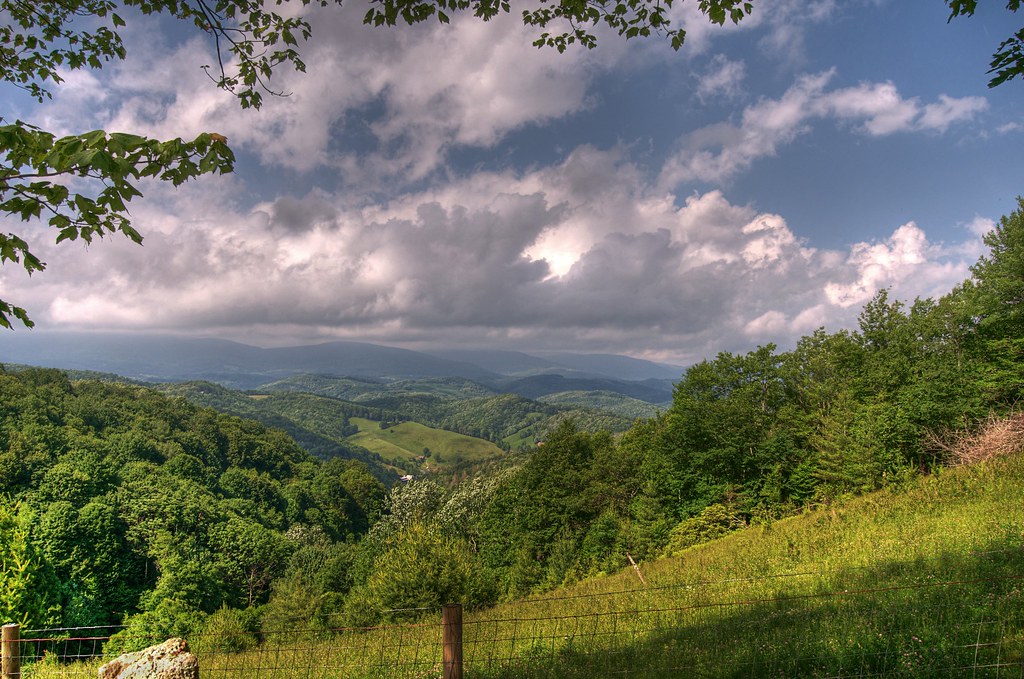
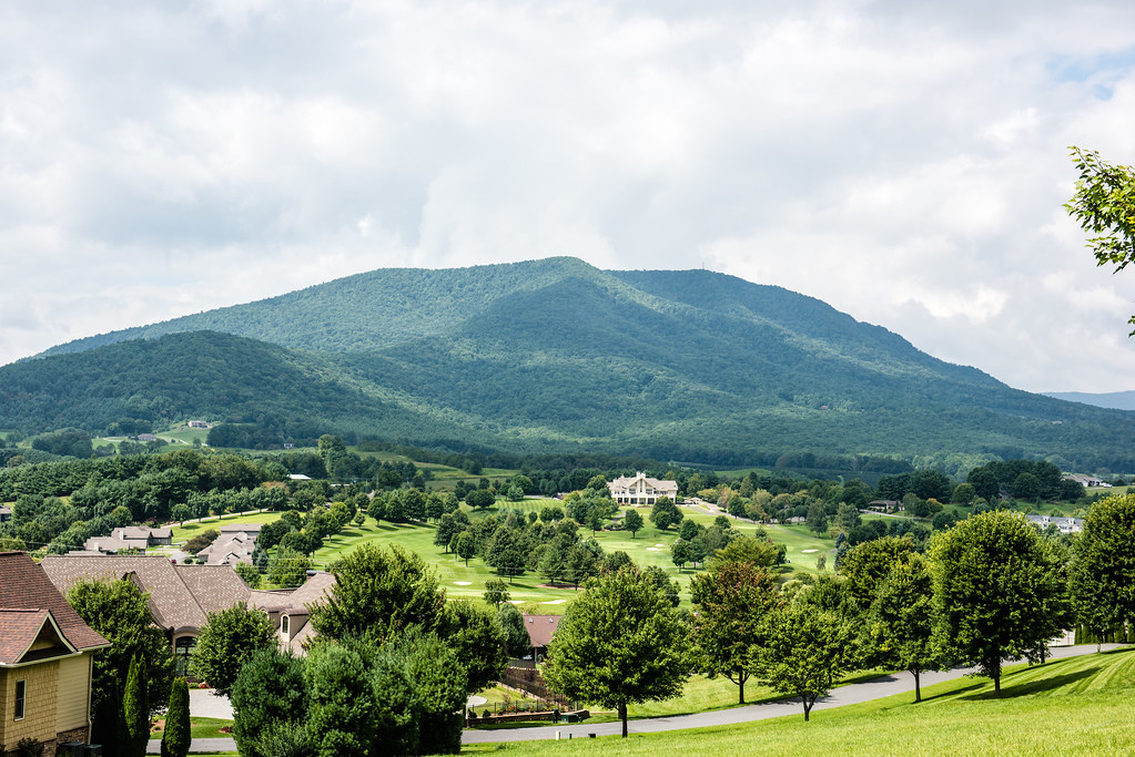
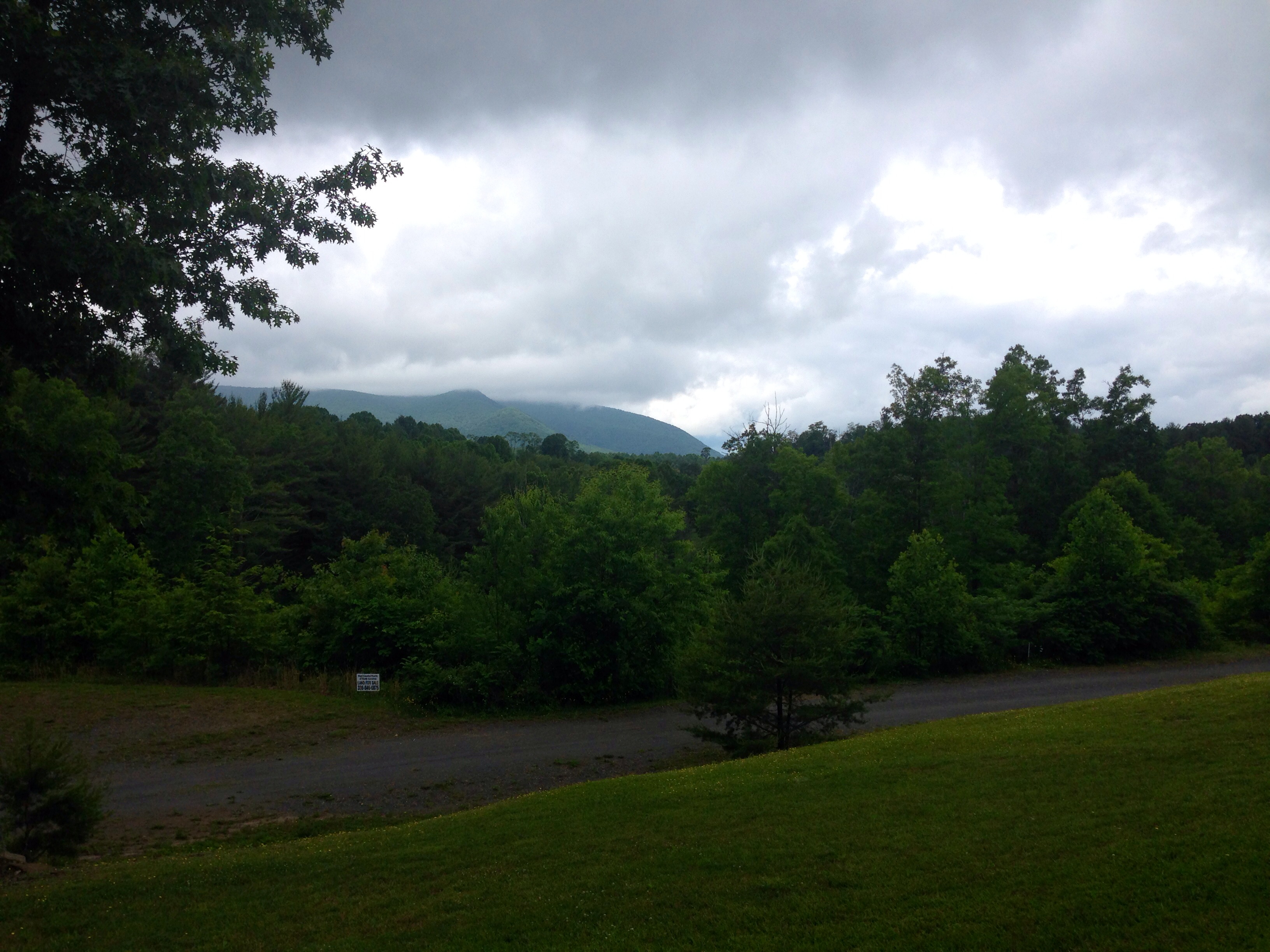
Luther Rock View
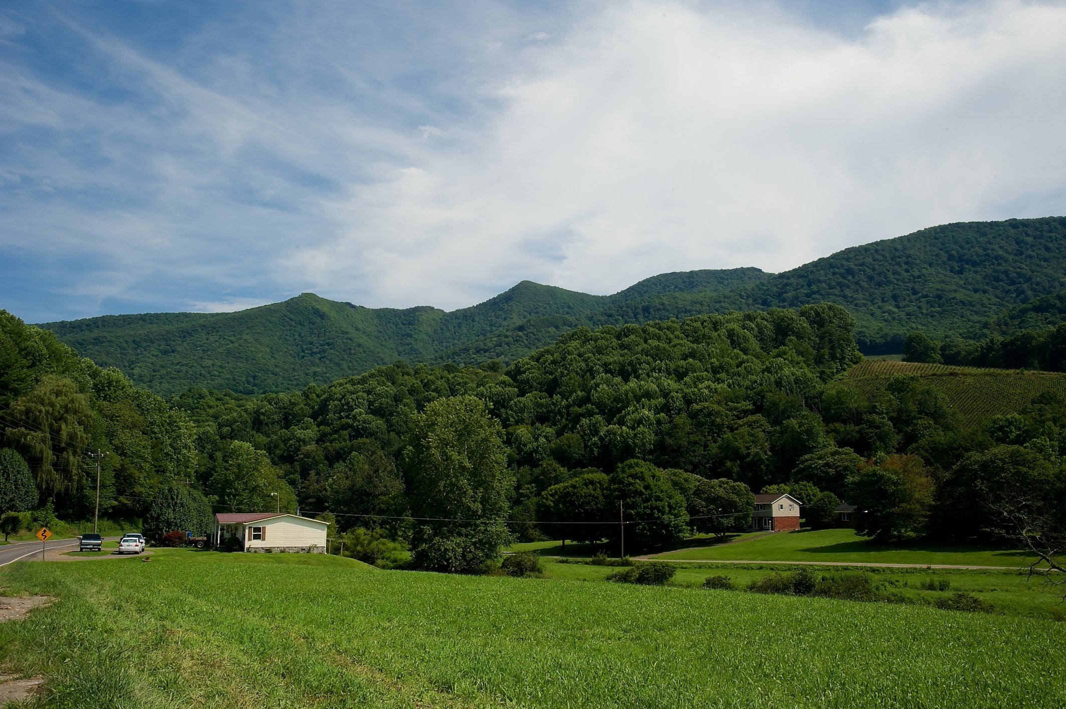
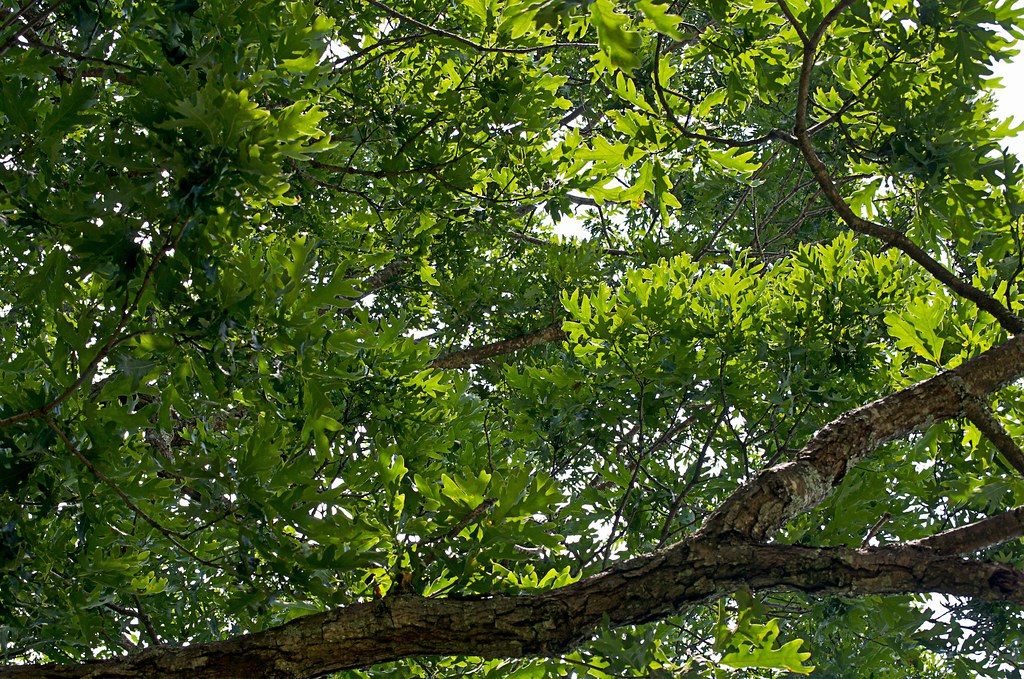
Whenlin Ridge
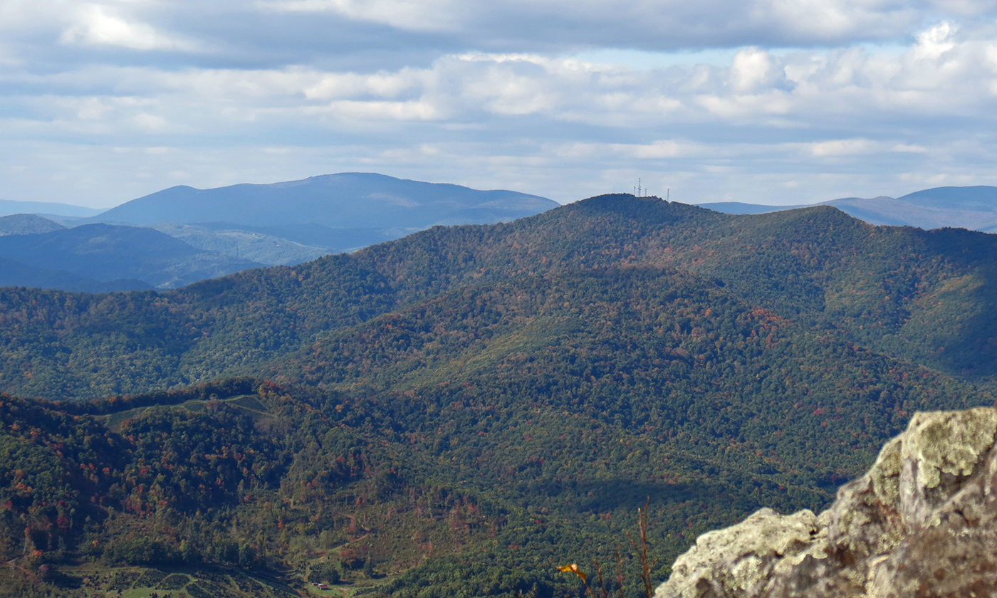
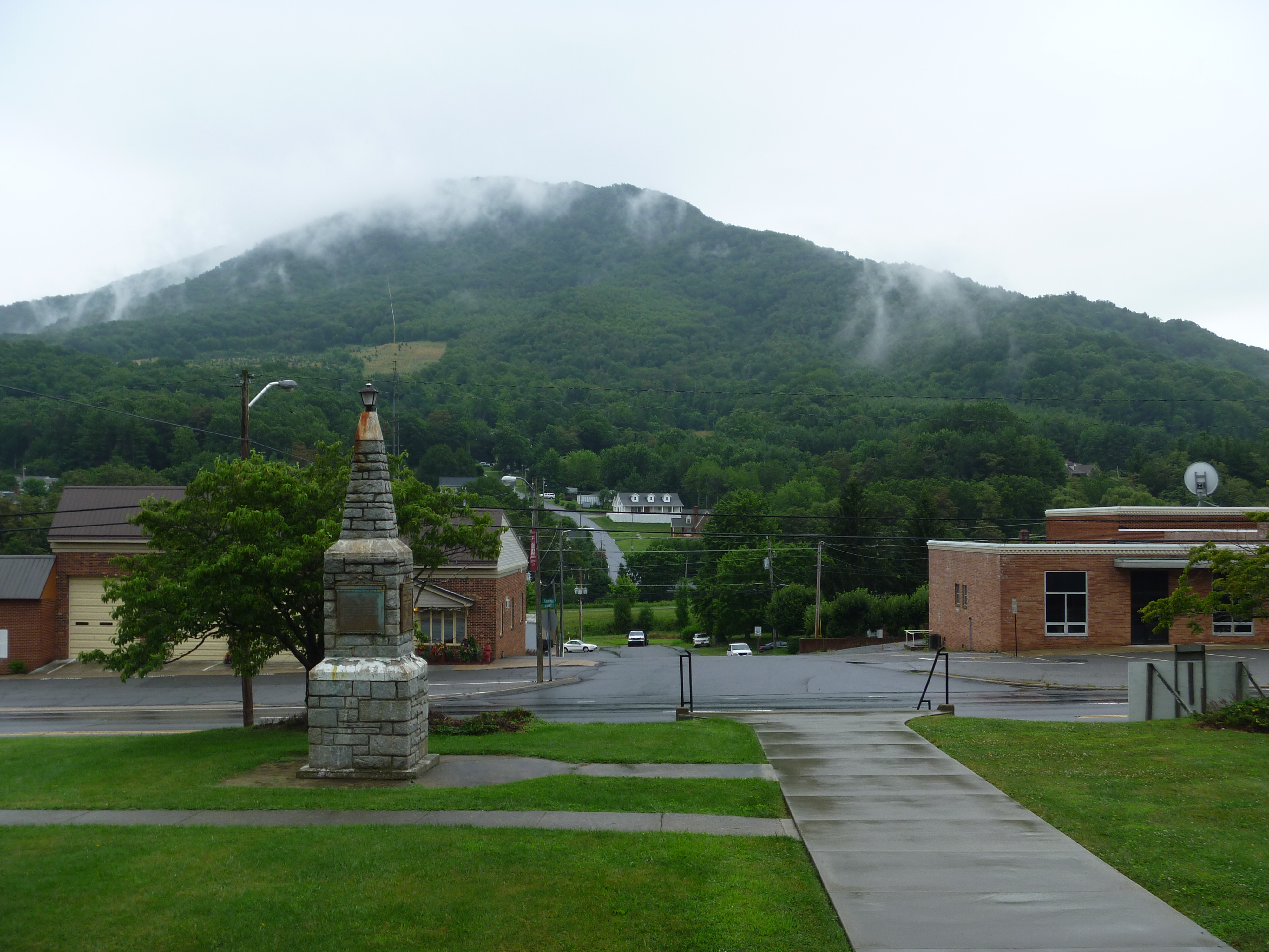
View of W4C/EM-014 - Three Top Mountain

View of W4C/EM-014 - Three Top Mountain

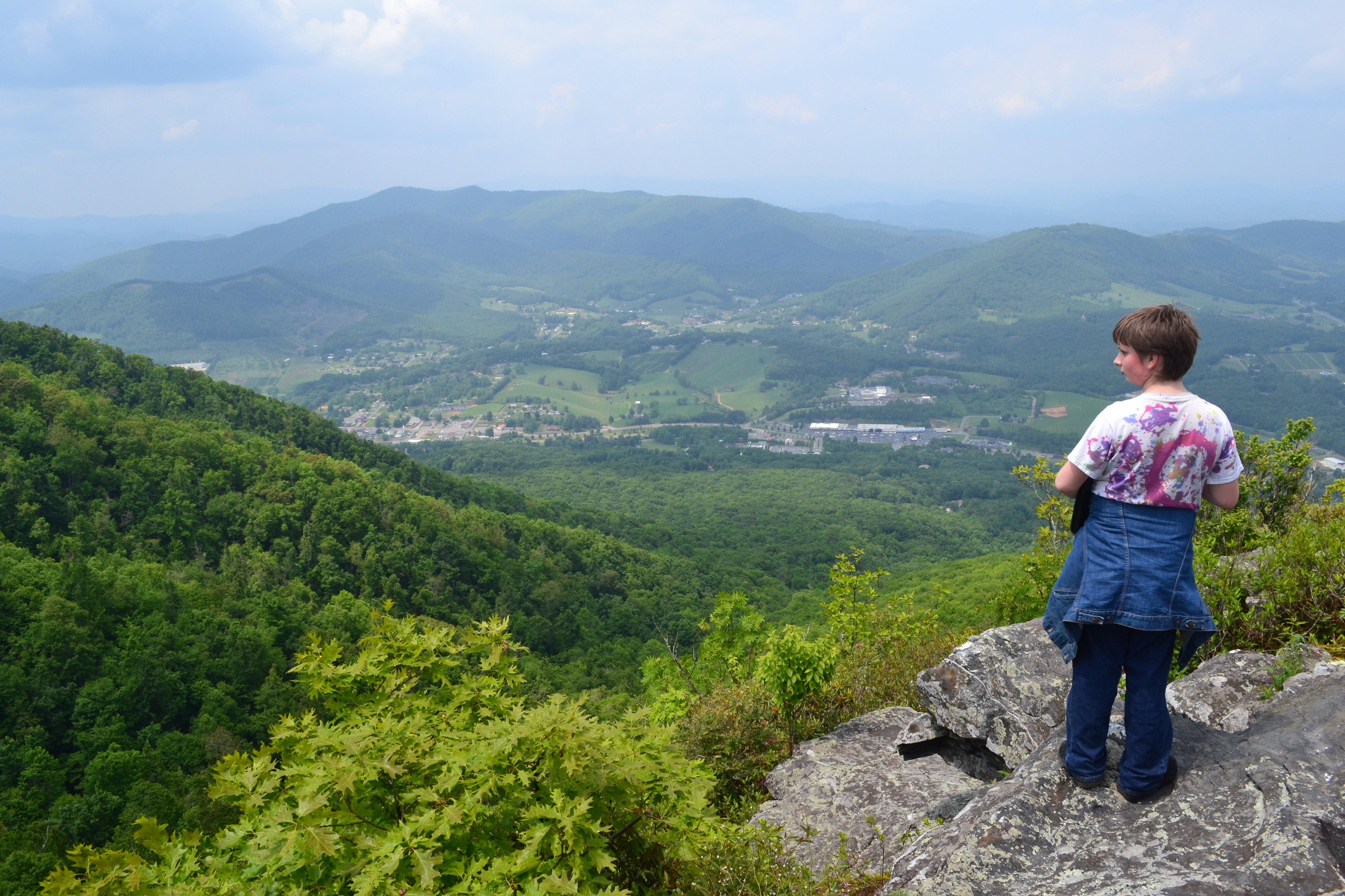
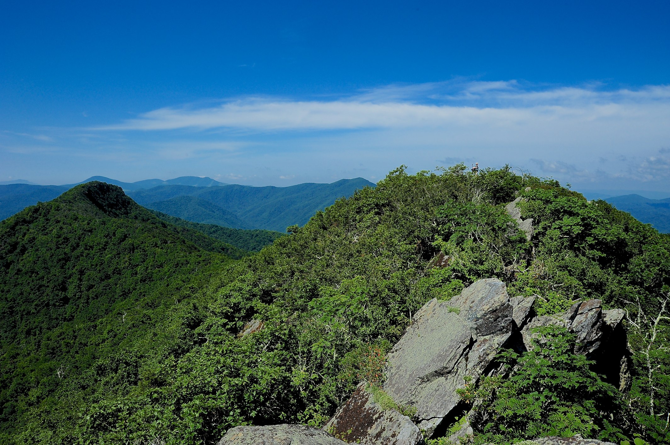
View Along W4C/EM-014 - Three Top Mountain Ridge Line
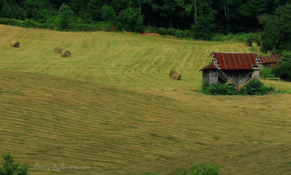
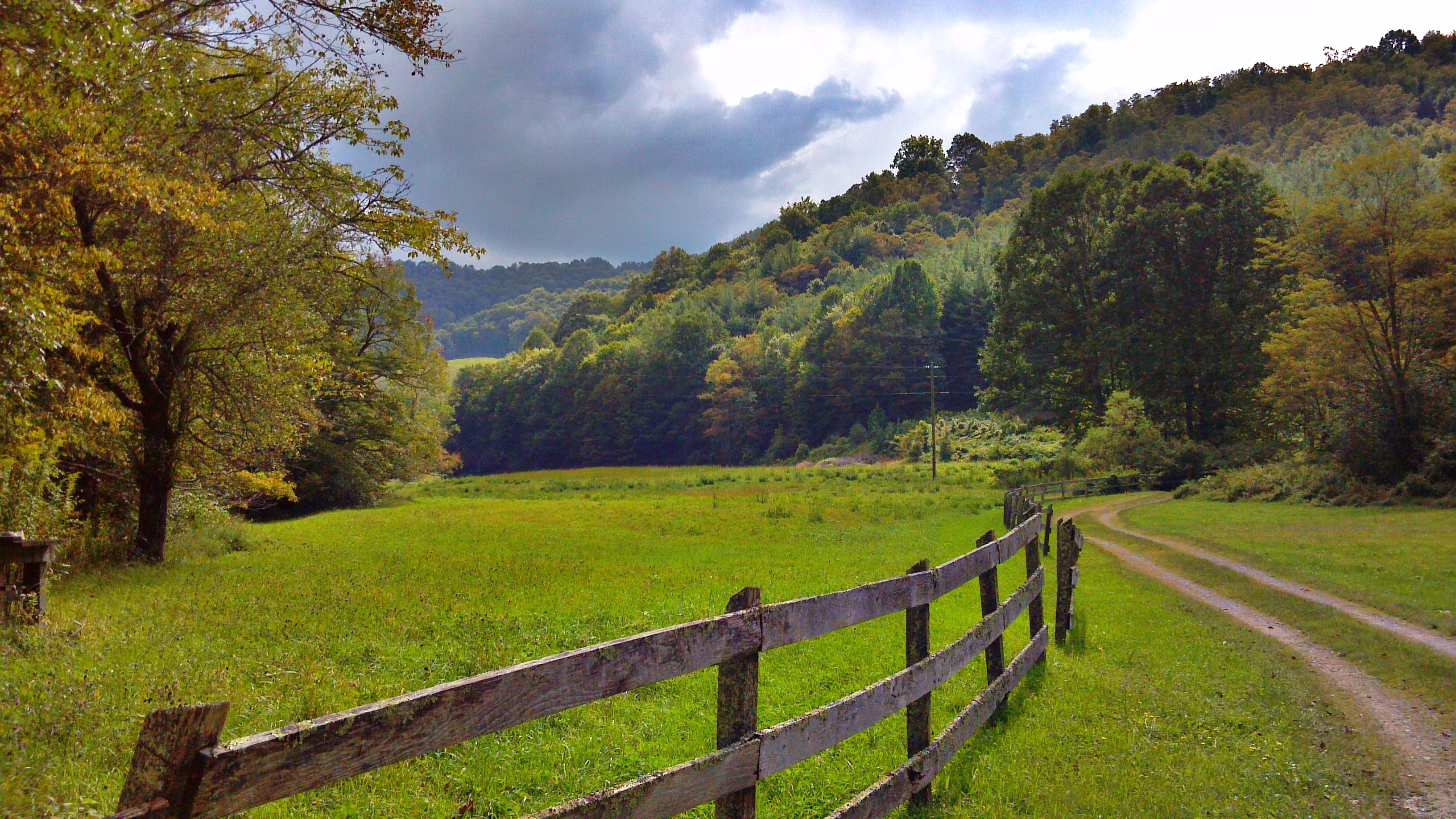
Making Hay 185/365

Log Cabin Panorama - Daytime
Early Fall in the Southern Appalachians

Views From Mt Jefferson, Ashe County

view from up the hill

my current view
the view
My view at the park.
Mount Jefferson
View on the Mount Jefferson TRACK Trail
West Jefferson, North Carolina

Getting a close-up view of an iguana
Mount Jefferson

Photo Mar 01, 5 04 24 PM

Photo Mar 01, 4 59 01 PM
Panorama from West Jefferson to Jefferson as seen from clifftops of Mount Jefferson, NC
Shatley Springs Cabins and Trading Post, Ashe County
C360_2011-09-09 15-47-07

Chicory 183/365
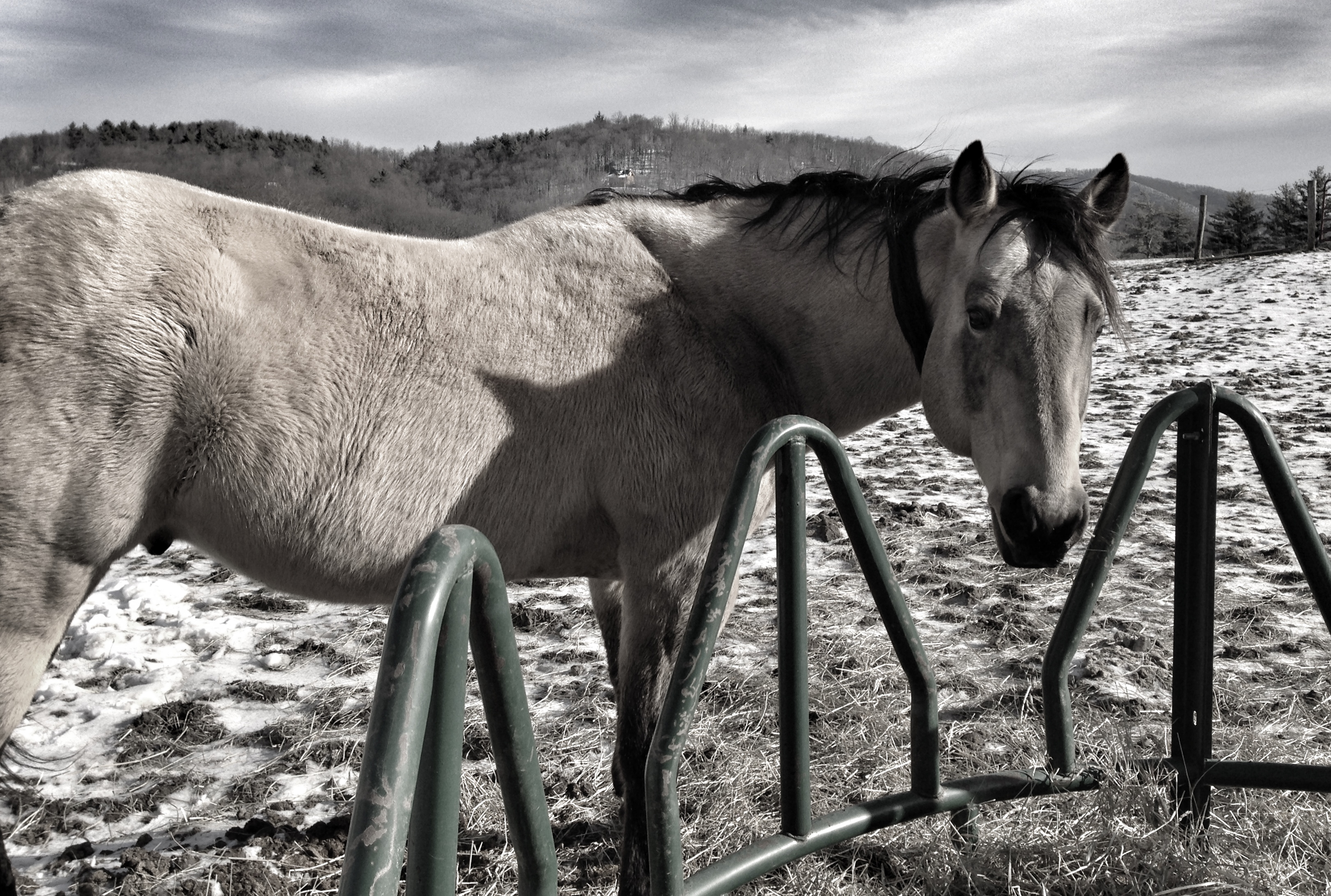
Leave me alone and let me eat in peace

Photo Mar 01, 4 06 24 PM

Photo Mar 01, 4 07 05 PM
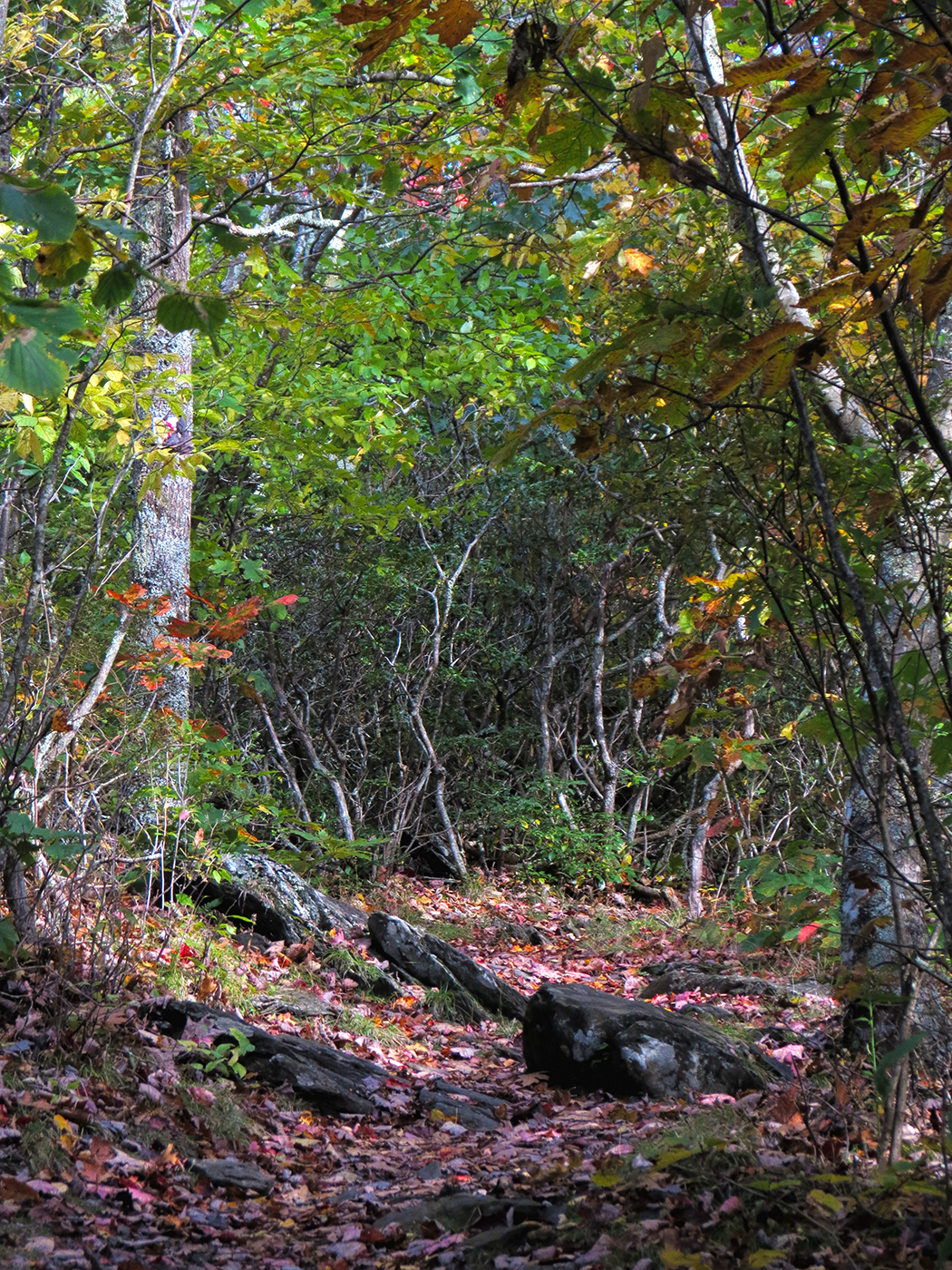
Fall Hike at Mount Jefferson

Photo Mar 01, 4 06 42 PM
W4C/EM-014 - Three Top Mountain Summit
2014 Ashe County, Black Jack & highland hills. Disc Golf weekend.
Topographic Map of Clint Gilley Road, Clint Gilley Rd, Warrensville, NC, USA
Find elevation by address:

Places near Clint Gilley Road, Clint Gilley Rd, Warrensville, NC, USA:
295 Clint Gilley Rd
665 Staggs Creek Rd
Staggs Creek Road
6383 Nc-88
822 Staggs Creek Rd
301 Hartsoe Rd
Hickory Trail
601 Hartsoe Rd
651 Falls Ln
1188 Teaberry Rd
426 Bc Hunter Rd
247 Misty Cove Ln
226 Deer Run Rd
276 Lewis Rd
Warrensville
399 River Rock Rd
Lewis Road
358 Buffalo Meadows Rd
2239 Long Branch Rd
268 Buffalo Meadows Rd
Recent Searches:
- Elevation of Corso Fratelli Cairoli, 35, Macerata MC, Italy
- Elevation of Tallevast Rd, Sarasota, FL, USA
- Elevation of 4th St E, Sonoma, CA, USA
- Elevation of Black Hollow Rd, Pennsdale, PA, USA
- Elevation of Oakland Ave, Williamsport, PA, USA
- Elevation of Pedrógão Grande, Portugal
- Elevation of Klee Dr, Martinsburg, WV, USA
- Elevation of Via Roma, Pieranica CR, Italy
- Elevation of Tavkvetili Mountain, Georgia
- Elevation of Hartfords Bluff Cir, Mt Pleasant, SC, USA