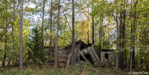
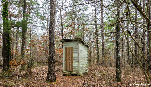
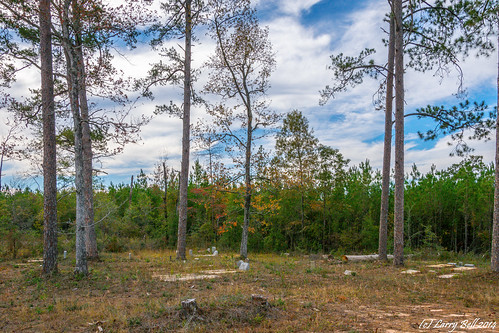
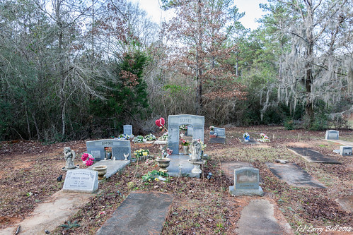
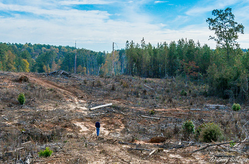
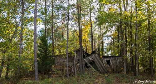
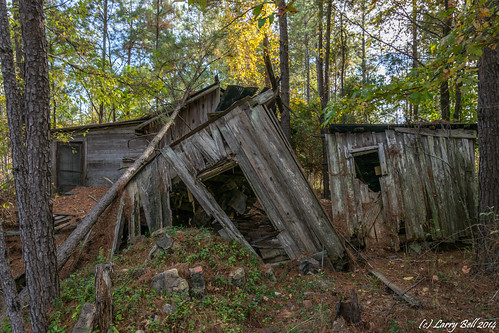
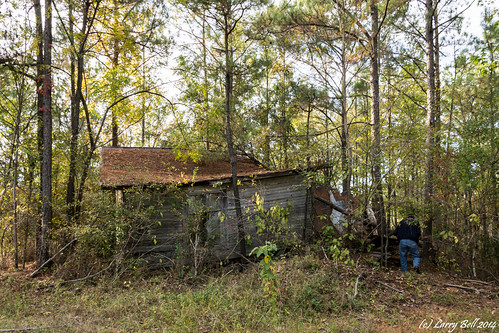
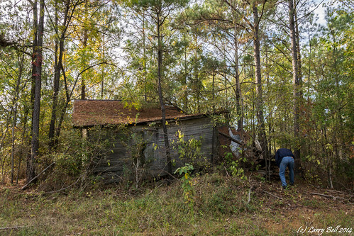
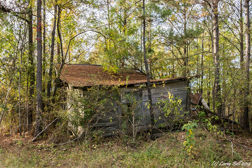
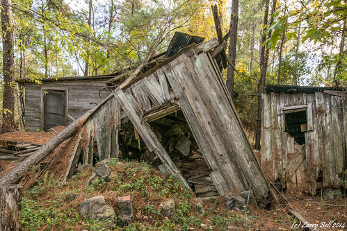
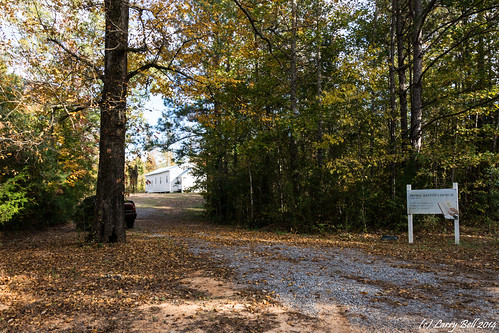
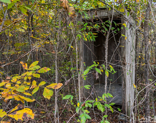
Elevation of Clifton St, Camden, AL, USA
Location: United States > Alabama > Wilcox County > Camden >
Longitude: -87.296553
Latitude: 31.9920996
Elevation: 73m / 240feet
Barometric Pressure: 100KPa
Related Photos:
Topographic Map of Clifton St, Camden, AL, USA
Find elevation by address:

Places near Clifton St, Camden, AL, USA:
Camden
288 Riverview Rd
Wilcox County
AL-41, Camden, AL, USA
33 Houston Boggs Cir, Camden, AL, USA
Pebble Hill Road
Canton Bend
Riverview Landing Drive
Lower Coastal Plains Substa
Chilatchee Creek (recgovnpsdata)
Millers Ferry Campground
Chilatchee Creek Road
AL-10, Pine Hill, AL, USA
AL-, Beatrice, AL, USA
Co Rd 56, Beatrice, AL, USA
Co Rd 29, Alberta, AL, USA
15 AL-10, Pine Hill, AL, USA
Co Rd 38, Catherine, AL, USA
Catherine
AL-5, Alberta, AL, USA
Recent Searches:
- Elevation of Corso Fratelli Cairoli, 35, Macerata MC, Italy
- Elevation of Tallevast Rd, Sarasota, FL, USA
- Elevation of 4th St E, Sonoma, CA, USA
- Elevation of Black Hollow Rd, Pennsdale, PA, USA
- Elevation of Oakland Ave, Williamsport, PA, USA
- Elevation of Pedrógão Grande, Portugal
- Elevation of Klee Dr, Martinsburg, WV, USA
- Elevation of Via Roma, Pieranica CR, Italy
- Elevation of Tavkvetili Mountain, Georgia
- Elevation of Hartfords Bluff Cir, Mt Pleasant, SC, USA
