Elevation map of Clearwater County, MN, USA
Location: United States > Minnesota >
Longitude: -95.310566
Latitude: 47.7200787
Elevation: 402m / 1319feet
Barometric Pressure: 0KPa
Related Photos:

My Own

Water Slide at Pine Lake

Marjorie McNeely Conservatory

Barbed Wire Fence

Low Bridge Across Channel

Hartz Foods' Brand Lives in Leonard, MN

From the 1945 Ward's Catalogue. McLuhan's world.

Happy 4th everyone.

District No. 132 School
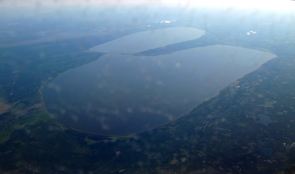
Aerial - Red Lakes, Minnesota
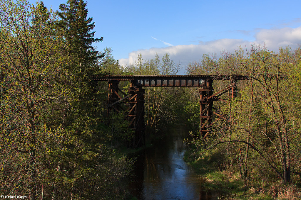
Soo Line Lost River Trestle - Gonvick, MN

Clearbrook 2

Clearbrook 1

Lunch at the Leonard Cafe
Topographic Map of Clearwater County, MN, USA
Find elevation by address:

Places in Clearwater County, MN, USA:
Shevlin
Itasca Township
Bagley
Minerva Township
Eddy Township
Clearbrook
2nd Ave, Gonvick, MN, USA
South Clearwater
40357 191st Ave
40357 191st Ave
Places near Clearwater County, MN, USA:
40357 191st Ave
40357 191st Ave
MN-92, Clearbrook, MN, USA
Clearbrook
42283 161st Ave
Shevlin
4 1st St, Shevlin, MN, USA
43129 141st Ave
2nd Ave, Gonvick, MN, USA
Eddy Township
20 Central St NE, Bagley, MN, USA
Bagley
Solway
14126 340th Street
Minerva Township
MN-92, Bagley, MN, USA
La Salle Lake State Recreation Area
Bemidji Theatre
Itasca Township
4289 Minnkota Ave Nw
Recent Searches:
- Elevation map of Greenland, Greenland
- Elevation of Sullivan Hill, New York, New York, 10002, USA
- Elevation of Morehead Road, Withrow Downs, Charlotte, Mecklenburg County, North Carolina, 28262, USA
- Elevation of 2800, Morehead Road, Withrow Downs, Charlotte, Mecklenburg County, North Carolina, 28262, USA
- Elevation of Yangbi Yi Autonomous County, Yunnan, China
- Elevation of Pingpo, Yangbi Yi Autonomous County, Yunnan, China
- Elevation of Mount Malong, Pingpo, Yangbi Yi Autonomous County, Yunnan, China
- Elevation map of Yongping County, Yunnan, China
- Elevation of North 8th Street, Palatka, Putnam County, Florida, 32177, USA
- Elevation of 107, Big Apple Road, East Palatka, Putnam County, Florida, 32131, USA
- Elevation of Jiezi, Chongzhou City, Sichuan, China
- Elevation of Chongzhou City, Sichuan, China
- Elevation of Huaiyuan, Chongzhou City, Sichuan, China
- Elevation of Qingxia, Chengdu, Sichuan, China
- Elevation of Corso Fratelli Cairoli, 35, Macerata MC, Italy
- Elevation of Tallevast Rd, Sarasota, FL, USA
- Elevation of 4th St E, Sonoma, CA, USA
- Elevation of Black Hollow Rd, Pennsdale, PA, USA
- Elevation of Oakland Ave, Williamsport, PA, USA
- Elevation of Pedrógão Grande, Portugal