Elevation of Clearcreek Trail, Yellow Springs, OH, USA

Location: United States > Ohio > Greene County > Miami Township > Yellow Springs >

Longitude: -83.944613

Latitude: 39.8315263

Elevation: 302m / 991feet

Barometric Pressure: 98KPa

Elevation Map:

elevation map of Clearcreek Trail, Yellow Springs, OH, USA

Satellite Map:

Satellite map of Clearcreek Trail, Yellow Springs, OH, USA

Related Photos:

wood ohio red graffiti pedestrian hidden coveredbridge hdr yellowsprings cemetaryroad howetruss glenhellen
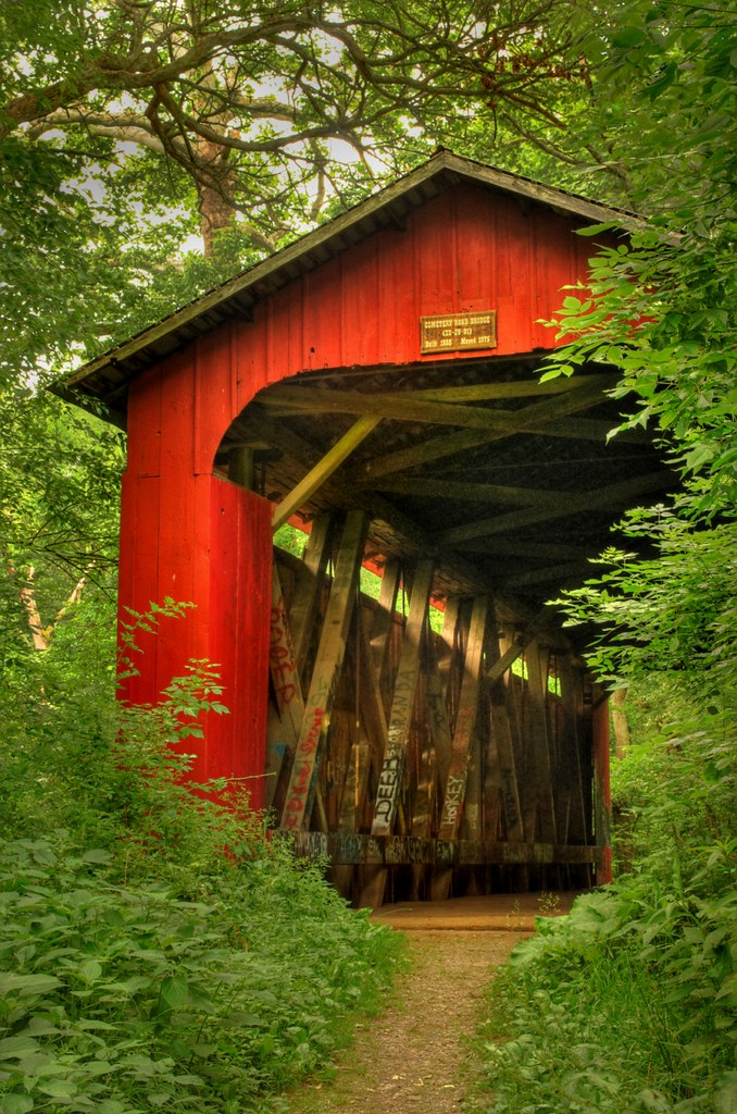
Hidden Bridge in the Glen | Yellow Springs, Ohio
macro animal tongue mouth bug insect bumblebee sedum macromix
Bumblebee 5
ohio fence d50 kid nikon child farm dayton challengeyouwinner
Looking On
ohio brick ivy textures doorway abandonded hdr yellowsprings rustydoor oldantiochtheatre
Please, Step On In | Yellow Springs, Ohio
north american b25 naa mithchell
Doolittle Raid Reunion B-25 Gathering
What Once Was.
carriagehill farm ohio barn historic vintage park nikon d7000 thomasdwyer image photo tomdwyer
Barn With a View
flowers blue ohio building digital painting mural sony fullframe dslr yellowsprings 287528 a850 alphamount sonya850 sal2875
Goddess of the Flowers
from urban house 3 abandoned toxic canon rebel this high view dynamic photos nu or environmental dump x tokina agency user everyone exploration range protection chemicals hazardous 1224mm hdr glo hazmat epa chemical solvents superfund poisonous fumes urbex lucisart laboratories xti ◢◣
Chest o' Drawers
ohio museum missile dayton airmuseum nationalmuseumoftheusairforce dioramasky
Missile & Space Gallery
dwf vintageaircraft 1141 antiqueaircraft nationalmuseumoftheusairforce preservedaircraft primarytrainer worldwariaircraft standardj1 daytonwrightfield structuralview
Standard J-1 (1141) (Structural View)
ohio evan college ben wittenberg fallentree parentsweekend springfieldoh wittenberguniversity september2008 canong9
Night view of campus. wittenberg parents' weekend 2008-17
vintage airplane formation oh flyover dayton warbird flypast wrightpattersonairforcebase northamericanb25mitchell nationalmuseumoftheusairforce
Bomber Stream
ohio canon geotagged 3d stereo hyper chacha clifton mapped redcyan hyperstereo analgyph sx110is
Clifton High School (hyper-3D)
warbird boeingb29superfortress aircraftinterior vintageaircraft nationalmuseumoftheunitedstatesairforce nationalmuseumoftheusairforce preservedaircraft
Boeing B-29A Superfortress (44-62139) Fuselage Interior - Bomb Bay - Fwd
interior inside aircraftinterior sacredcow vintageaircraft aircraftcabin franklindelanoroosevelt wrightpattersonairforcebase propliner classicaircraft militarytransport daytonoh antiqueaircraft nationalmuseumoftheusairforce douglasc54 douglasdc4 restoredaircraft preservedaircraft douglasvc54c wrightfield museumaircraft presidentialtransport 42107451
Douglas VC-54C (42-107451) Sacred Cow - Elevator
2015 20150405 april april2015 clarkcounty clarkcountyohio fountainavenue fountainandnorth highway40 img1380 miamivalley monro monrobrakesandtires monrobrakesandtiressign northfountainavenue northstreet northandfountain ohio ohiolandscape route40 springfield springfieldohio us40 ushighway40 usroute40 westnorthstreet citytree downtown downtownspringfield lamppost landscape lightpole parkinglotlamppost parkinglotlandscape parkinglotlandscaping parkinglotlightpole parkinglottree paved pavement shrubbery shrubs sidewalk southwestohio southwesternohio sunny sunnylandscape urbanlandscape urbantree view westohio westernohio unitedstates us titchg
Tree and lightpole for Monro. The tree is a lightpole hugger.
panorama water grass timelapse spring chair balcony balloon drop splash dropped hdr
First water balloon of the year
ohio red summer green mill water canon rebel waterfall historic 2008 clifton cliftonmill craigsorenson
Clifton Mill
blackandwhite bw monochrome mono 2000 boeing usairforce airforcemuseum stratocruiser exusaf kc97l ohioairguard 522630 wrightpattersen
'Led sled'
autumn tree fall leaves yellow yellowsprings orangeleaves
A Vertical View
trees snow landscape hdr fairborn communitypark fairbornohio fairbornoh byalexsablan
First Snow
road autumn trees fall nature leaves landscape fallcolors fallfoliage yellowsprings glenhelen
glen-helen-fall
Dolomite Slump Blocks in the River
sleepingbearimagewear cliftongorgestatenaturepreserve nikond300s
moving water
bridge trees ohio water creek river waterfall log oasis soe yellowsprings glenhellen
Oasis in the Glen | Yellow Springs, Ohio
ohio nature water landscape waterfall scenic cascades yellowsprings glenhelen glenhelennaturepreserve
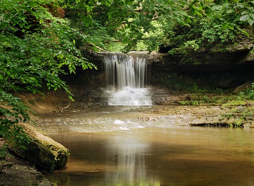
The Cascades of Glen Helen
sunset ohio xenia dschx200v
sunset-xenia,oh
fog carriage sheep farm hill flock
Foggy Flock
Rivers Edge
Spring Melt
ohio summer panorama colors field yellow clouds rural day farm sunflowers hdr yellowsprings pwpartlycloudy
Sunflowers & More Sunflowers
carriagehill farm ohio barn historic vintage scenic nikon d7000 thomasdwyer tokina image photo tomdwyer
Carriage Hill Farm 2
Farmer 2
ohio barn rural square lofi squareformat bicentennial dayton i70 iphone iphone5 iphoneography instagram instagramapp uploaded:by=instagram igersohio ohiogram foursquare:venue=4fcfdc44e4b04a95bdea4c5b
Ohio Bicentennial Barn
trees snow barn landscape yellowsprings fairbornohio byalexsablan
Winter Has Arrived
Making Hay 6
Sunset Over the Pasture
sunset sky sun silhouette clouds sunrise fire
Sky Fire
ohio water falls rapids clifton littlemiamiriver cliftongorge johnbryanstatepark
Clifton Gorge
clarkecounty clifton cliftongorge greenecounty ohio river snp littlemiamiriver
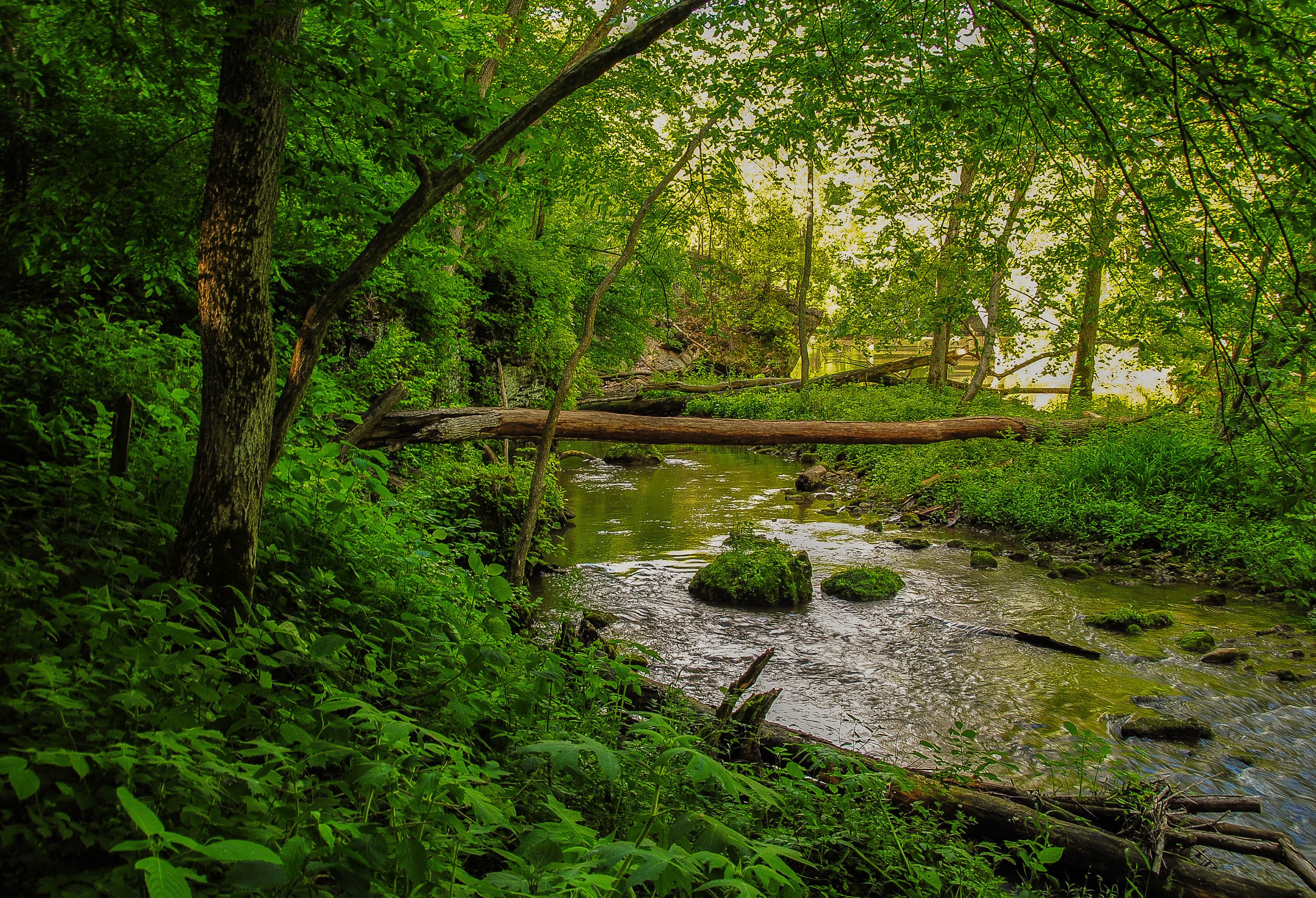
The Little Miami At Clifton
ohio blackandwhite history clouds canon dayton montgomerycounty geotaggedohio huffmanprairie birthplaceofaviation kmsmith
Huffman Prairie: Lab of the Wright Brothers