Elevation of Claybank Rd, West Jefferson, NC, USA
Location: United States > North Carolina > Ashe County > West Jefferson > West Jefferson >
Longitude: -81.491154
Latitude: 36.437857
Elevation: 904m / 2966feet
Barometric Pressure: 91KPa
Elevation Map:
Satellite Map:
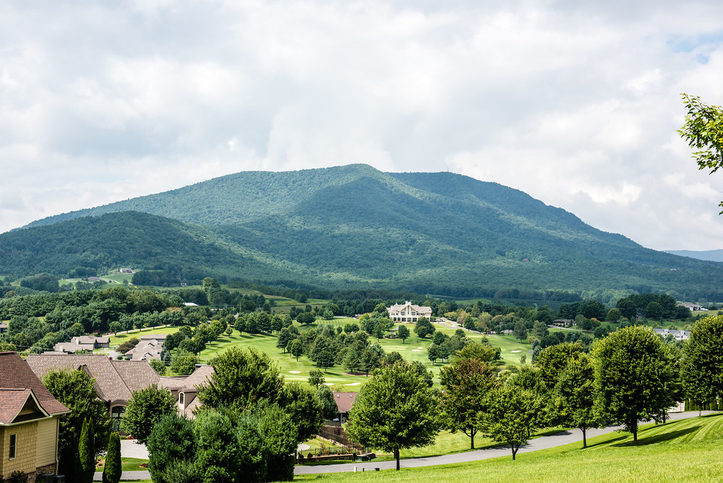
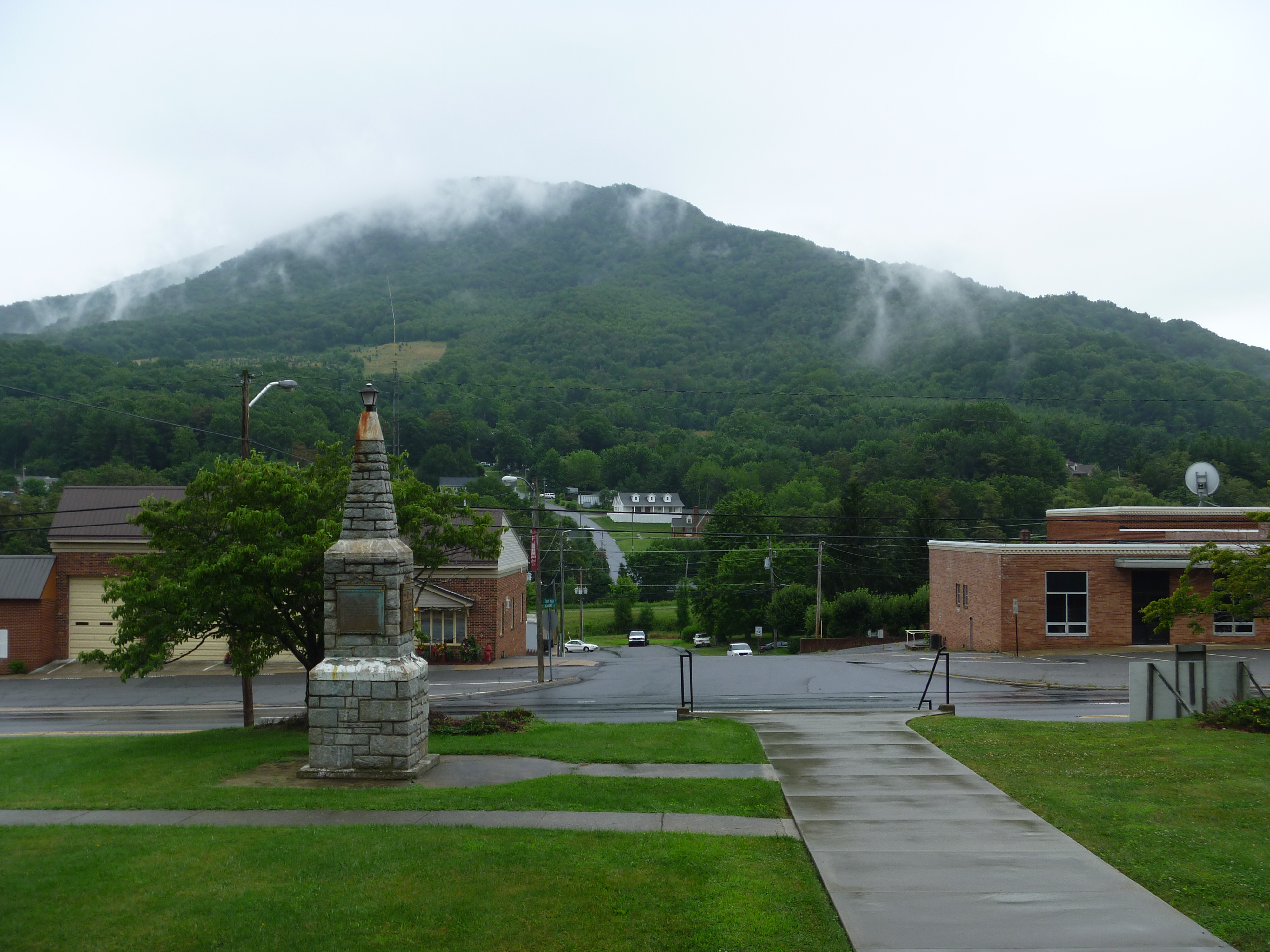
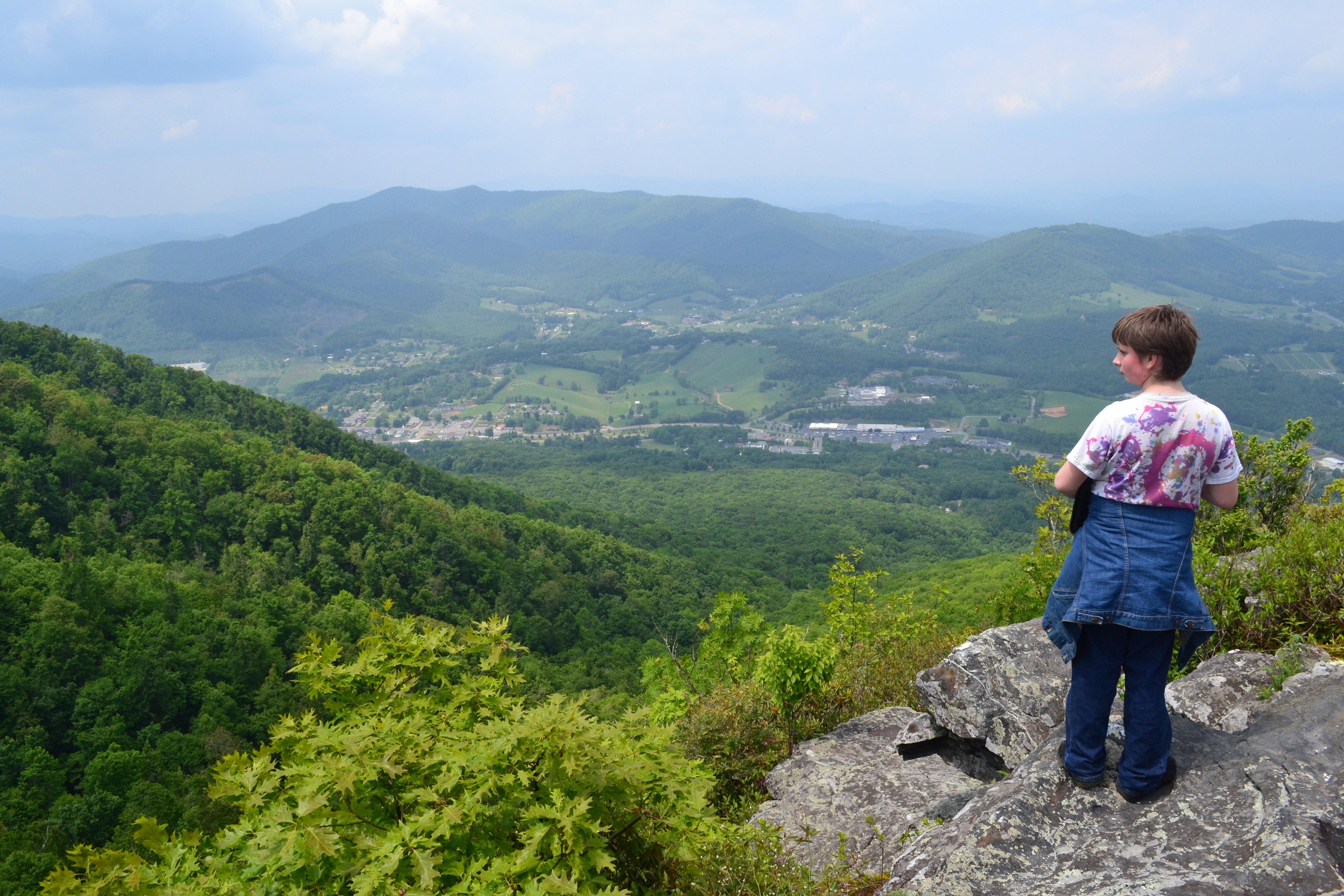
Related Photos:

Log Cabin Panorama - Daytime

View Along W4C/EM-014 - Three Top Mountain Ridge Line

Making Hay 185/365

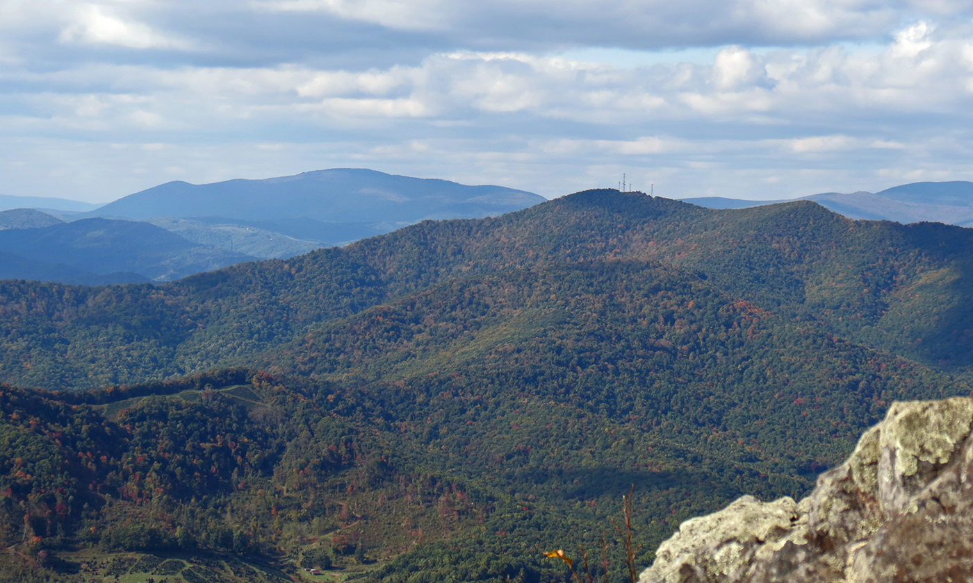
Luther Rock View
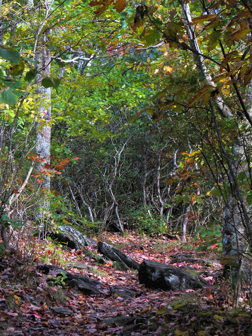
Early Fall in the Southern Appalachians
View of W4C/EM-014 - Three Top Mountain

Views From Mt Jefferson, Ashe County

view from up the hill

View of W4C/EM-014 - Three Top Mountain

my current view
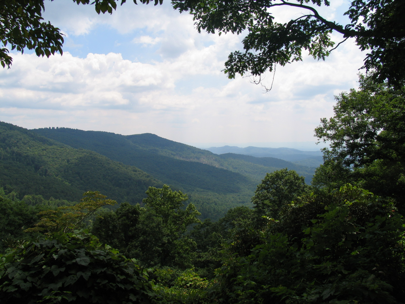
View from Betsey's Rock Falls Overlook - Blue Ridge Parkway
Parkway 256
the view

North Carolina: The Lost Province: New River State Park
My view at the park.
Mount Jefferson
View on the Mount Jefferson TRACK Trail
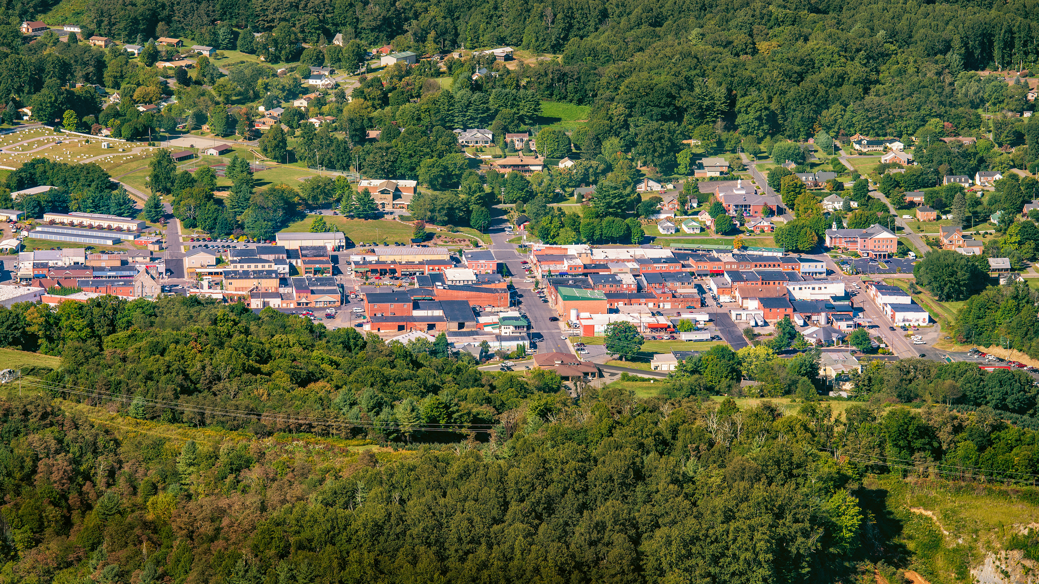
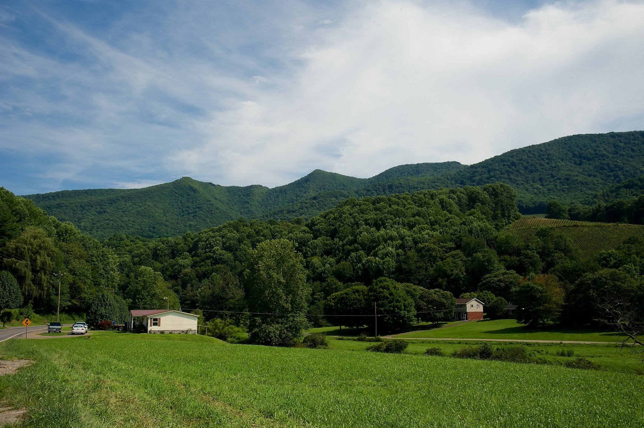
West Jefferson, North Carolina

Getting a close-up view of an iguana
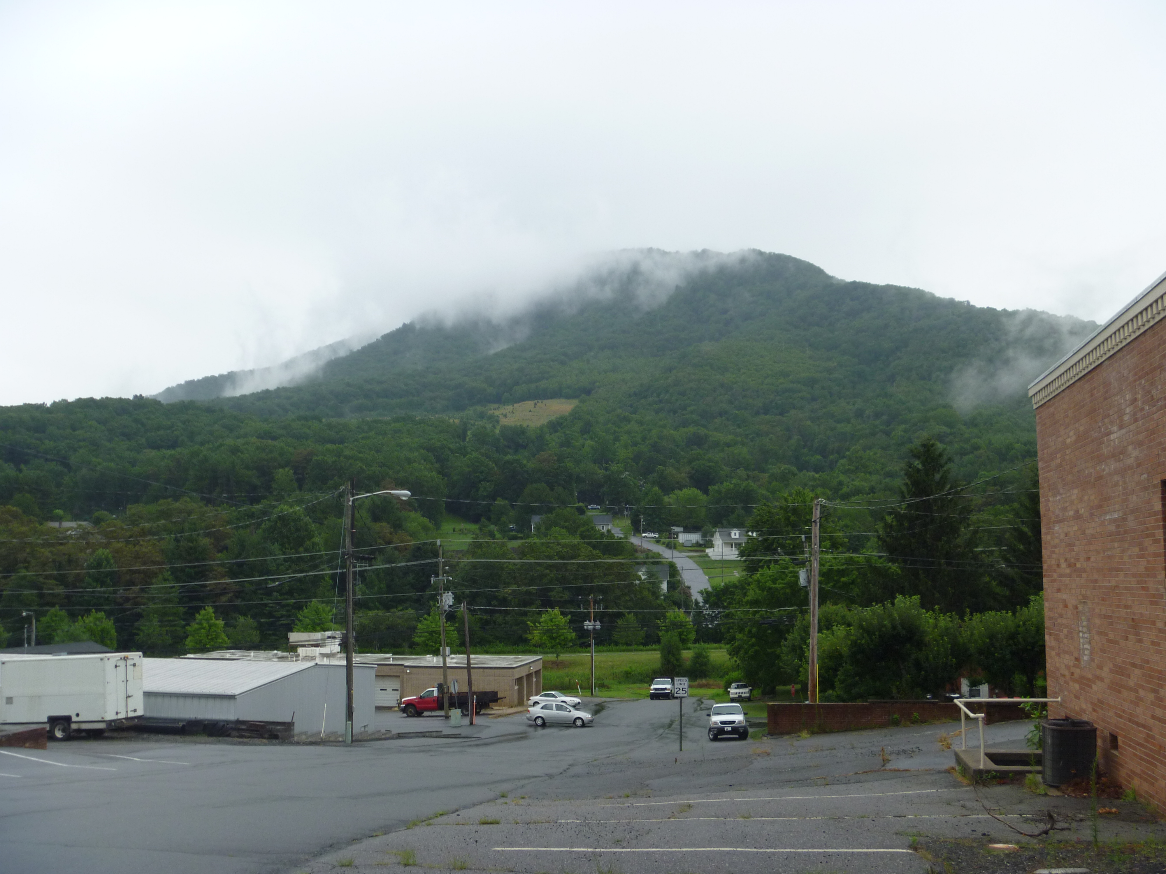
Mount Jefferson

Photo Mar 01, 5 04 24 PM
Leave me alone and let me eat in peace

Photo Mar 01, 4 59 01 PM

janetscabin-02
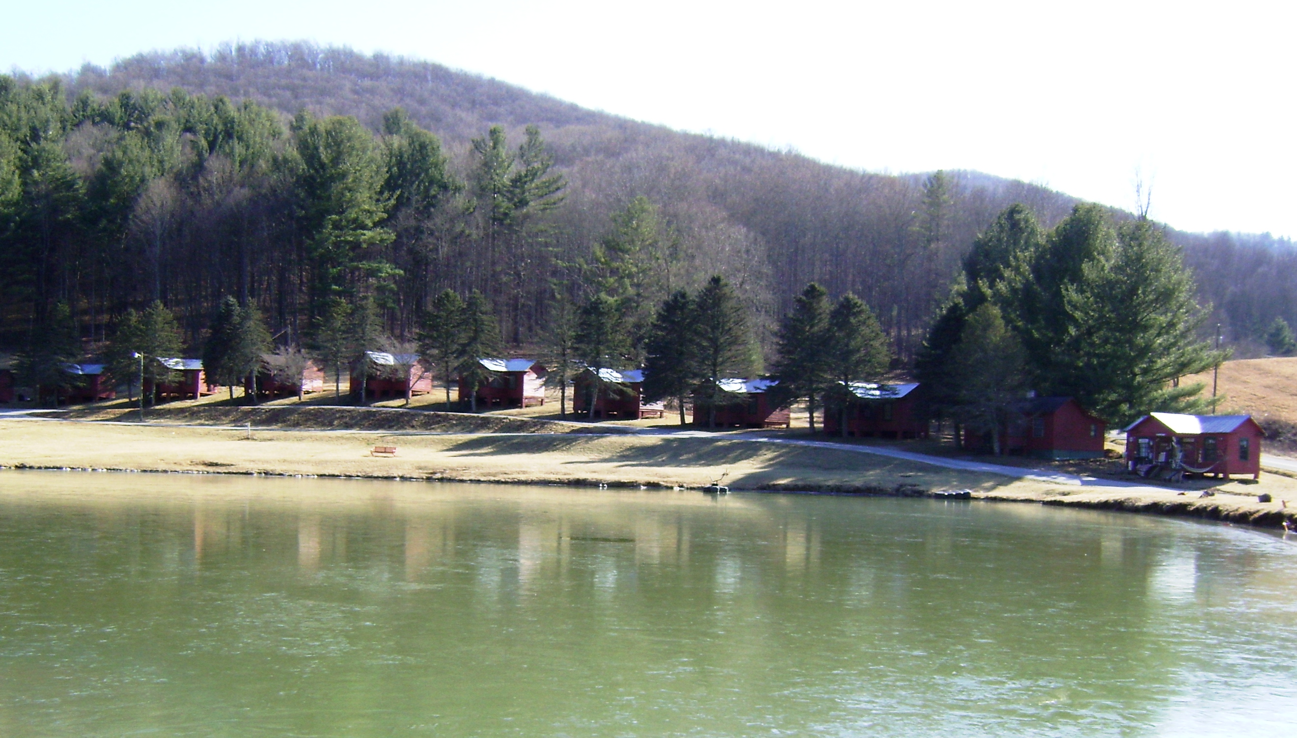
Shatley Springs Cabins and Trading Post, Ashe County
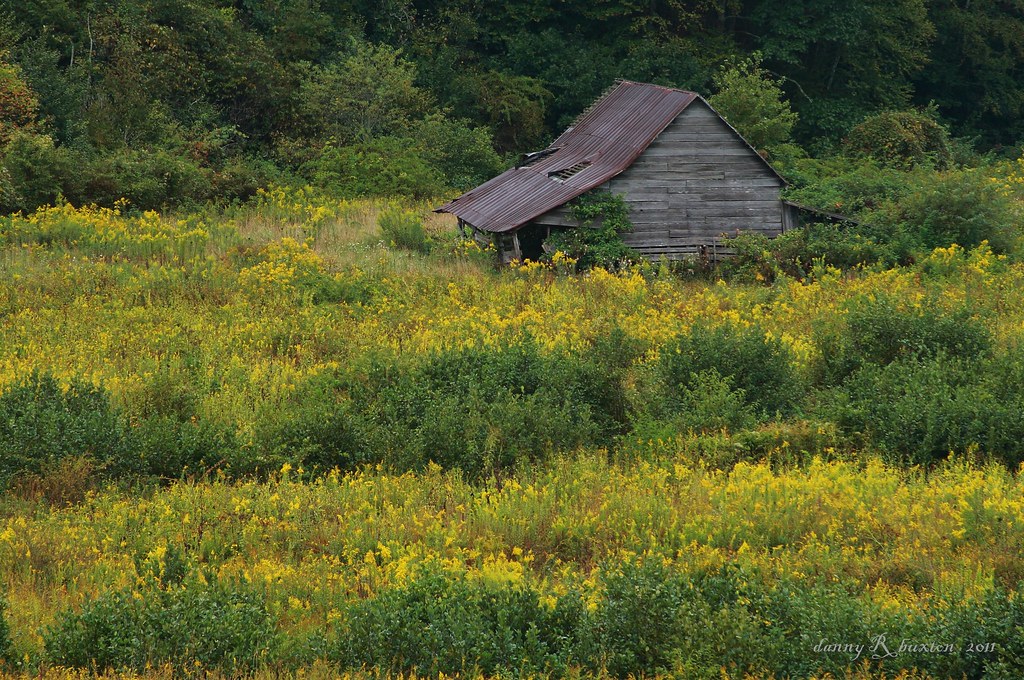
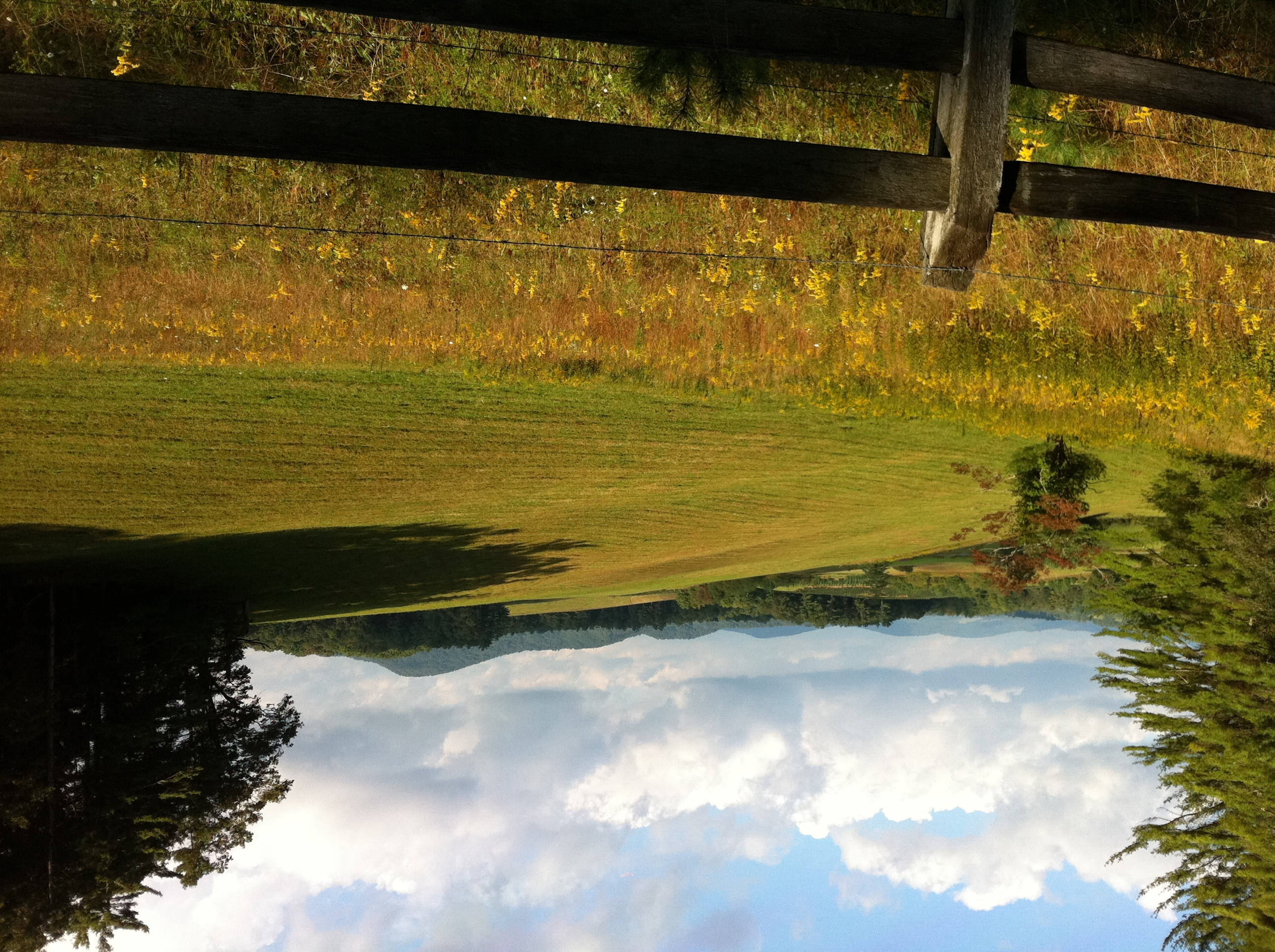
Old Barn & Goldenrod 261/365

river and her momma to be

Chicory 183/365

Photo Mar 01, 4 06 24 PM

Photo Mar 01, 4 07 05 PM
Fall Hike at Mount Jefferson

Photo Mar 01, 4 06 42 PM
After the storm
Topographic Map of Claybank Rd, West Jefferson, NC, USA
Find elevation by address:

Places near Claybank Rd, West Jefferson, NC, USA:
946 Claybank Rd
1653 Claybank Rd
551 Hickory Hill Rd
551 Hickory Hill Rd
1199 Elliott Rd
362 Hickory Hill Rd
1748 Elliott Rd
Highway 88
Ashe County
West Main Street
Valley Drive
966 Stanley Rd
966 Stanley Rd
2926 Nc-88
1439 Nc-194
Jefferson
Jefferson
963 Ashe Park Rd
Ridge Drive
338 Dogget Rd
Recent Searches:
- Elevation of Corso Fratelli Cairoli, 35, Macerata MC, Italy
- Elevation of Tallevast Rd, Sarasota, FL, USA
- Elevation of 4th St E, Sonoma, CA, USA
- Elevation of Black Hollow Rd, Pennsdale, PA, USA
- Elevation of Oakland Ave, Williamsport, PA, USA
- Elevation of Pedrógão Grande, Portugal
- Elevation of Klee Dr, Martinsburg, WV, USA
- Elevation of Via Roma, Pieranica CR, Italy
- Elevation of Tavkvetili Mountain, Georgia
- Elevation of Hartfords Bluff Cir, Mt Pleasant, SC, USA