Elevation of Clay Township, PA, USA
Location: United States > Pennsylvania > Huntingdon County >
Longitude: -78.030954
Latitude: 40.1851367
Elevation: 302m / 991feet
Barometric Pressure: 98KPa
Elevation Map:
Satellite Map:
Related Photos:
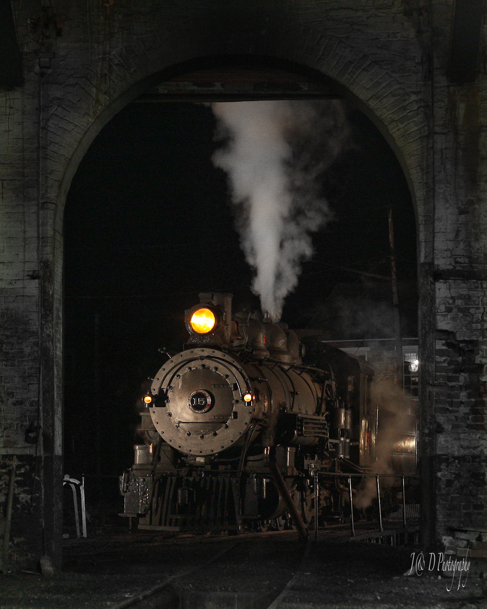
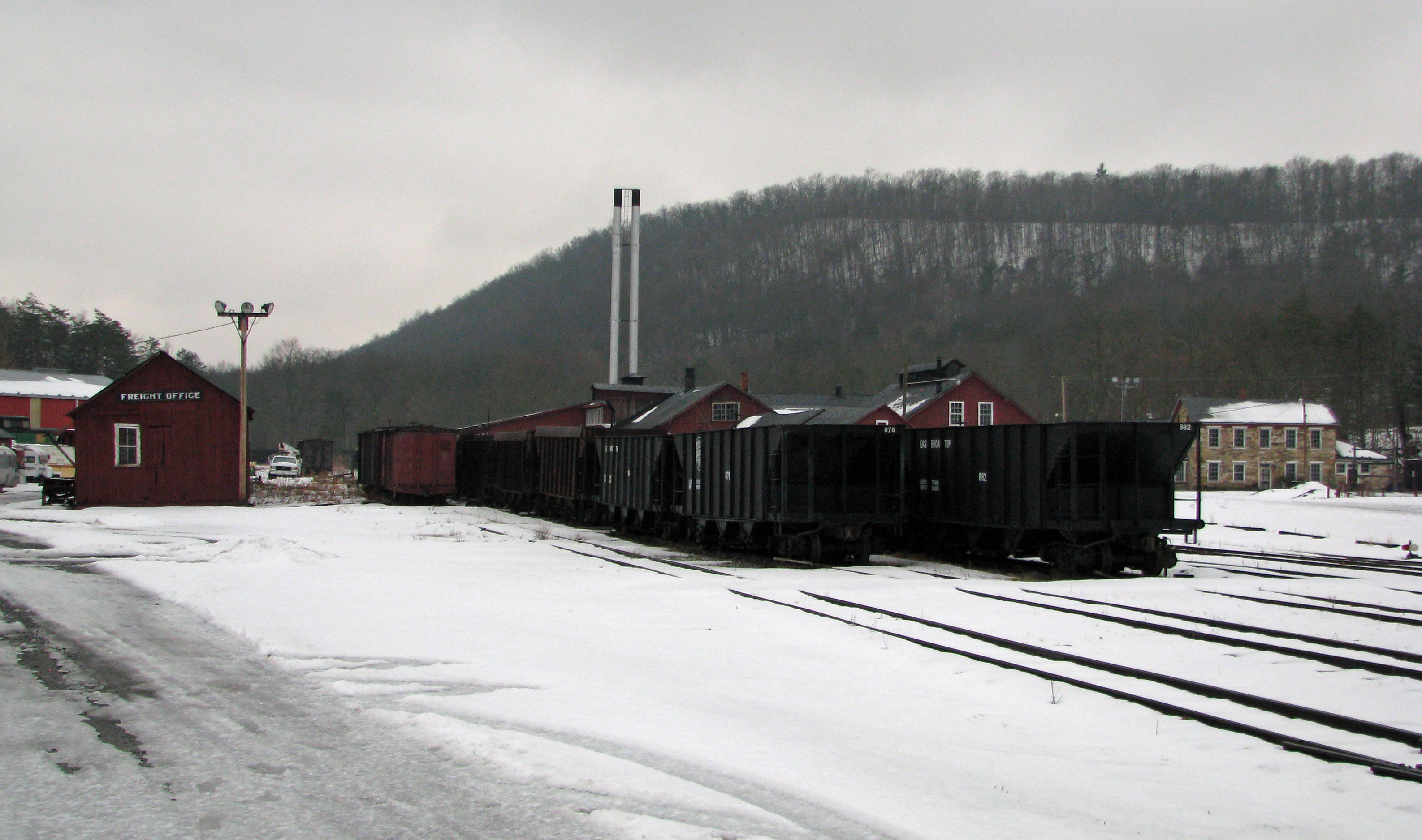
View of the East Broad Top Railroad Roundhouse from the historic maintenance shop
201502 East Broad Top Roundhouse
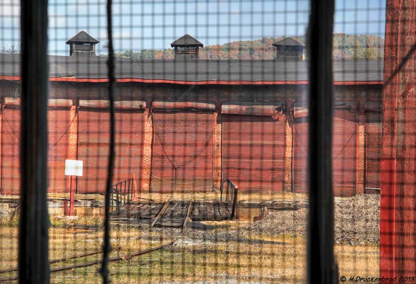
Inside looking out

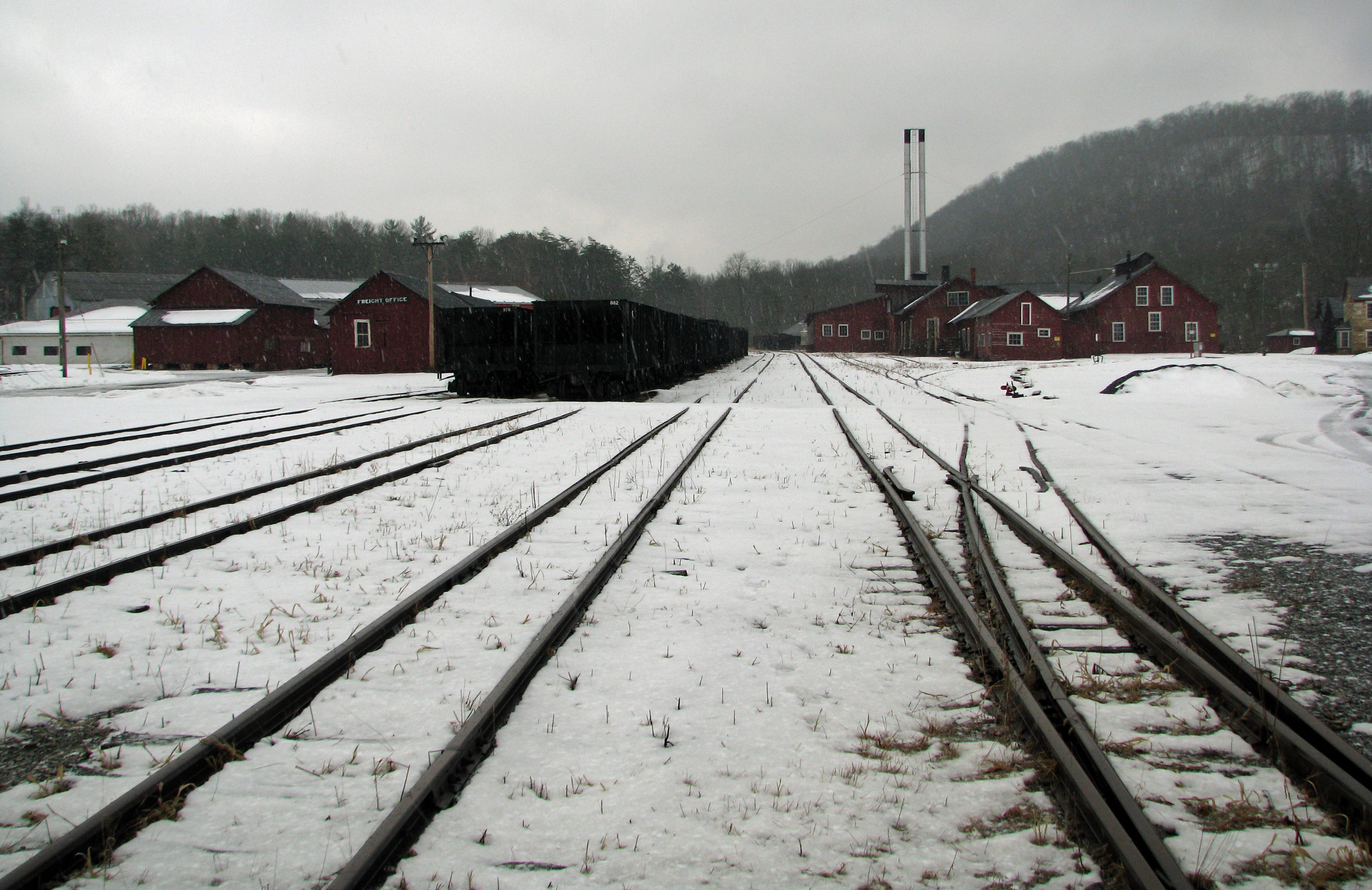
View of the Rockhill Furnace Railroad Yard from the historic maintenance shop.

201502 Orbisonia Yard
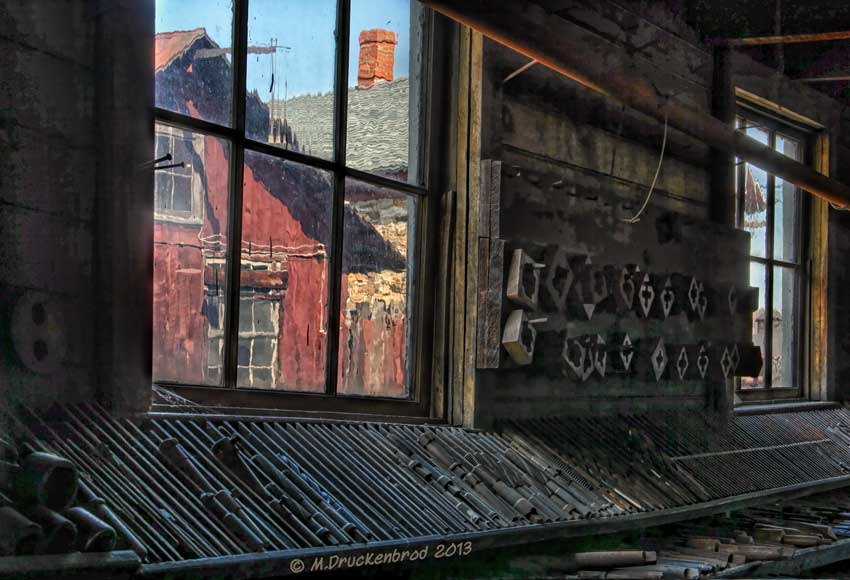
Machine shop tools with view of the shop complex in Rockhill Furnace

Top of the Sidling Hill Mountain
201502 East Broad Top view
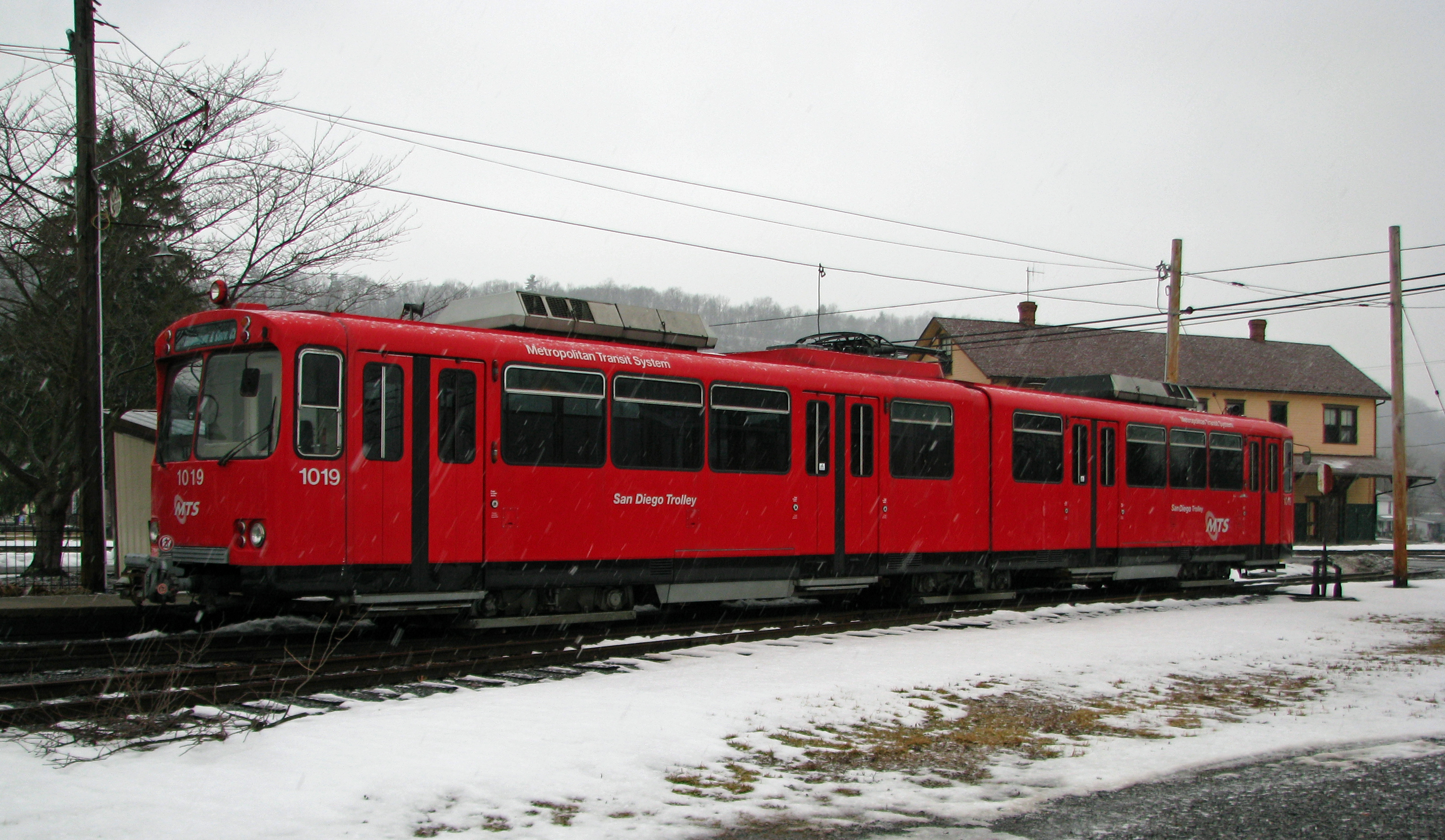
201502 Rockhill Trolley
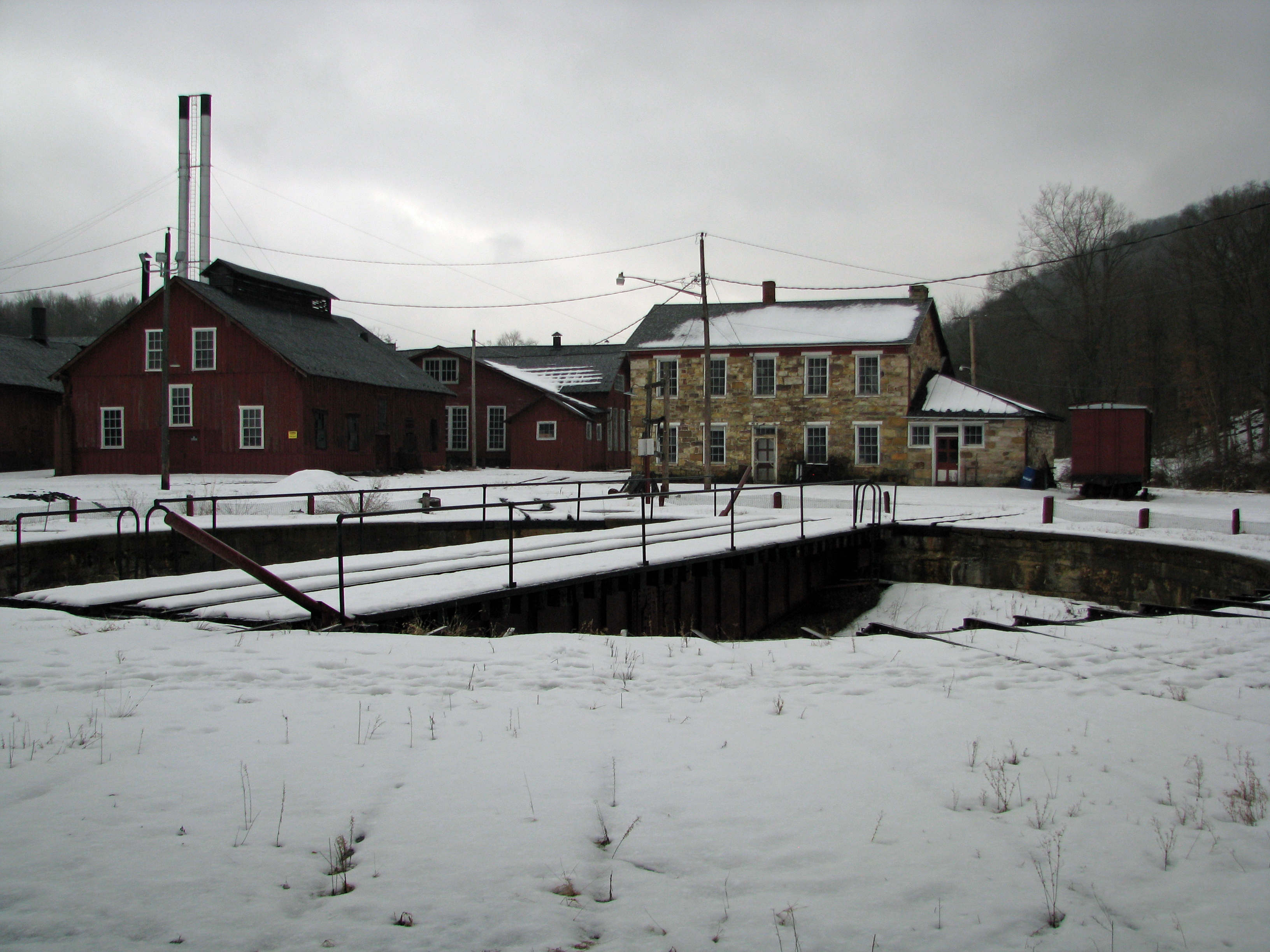
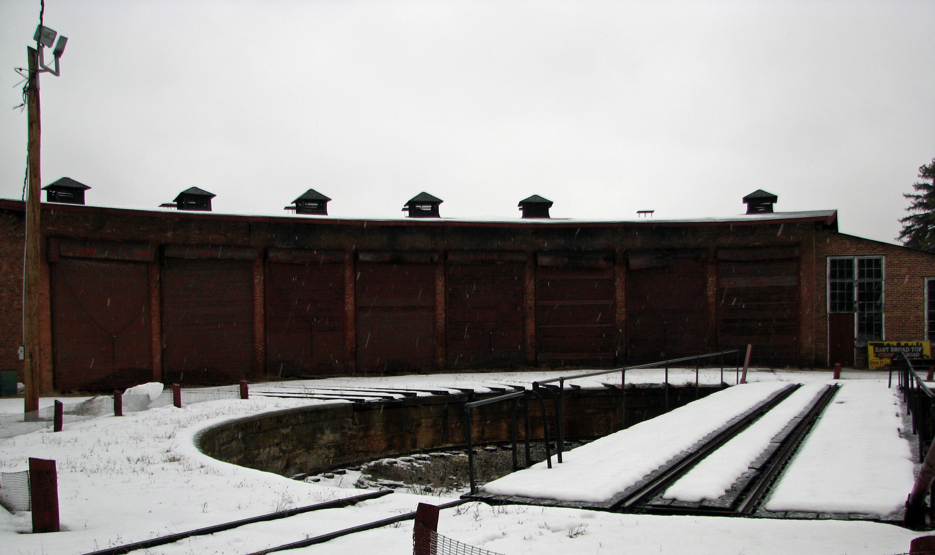
201502 East Broad Top Turntable

201502 Orbisonia
201502 East Broad Top yard

ROCKHILL TROLLEY MUSEUM--1019, 355 at Pavilion
Such a view on these rolling hills!
Topographic Map of Clay Township, PA, USA
Find elevation by address:

Places in Clay Township, PA, USA:
Places near Clay Township, PA, USA:
Main St, Three Springs, PA, USA
21195 Laurel Mountain Rd
23329 Liberty Ln
Springfield
Three Springs, PA, USA
Pogue Rd, Three Springs, PA, USA
Cromwell Township
Orbisonia
Neeleyton Rd, Fort Littleton, PA, USA
Neelyton
15059 Mountain Green Rd
20528 Spring Run Rd
Path Valley Rd, Willow Hill, PA, USA
Flood Road
Willow Hill
20567 Mt Foot Rd
Spring Run
19691 Mt Foot Rd
Tuscarora Mountain
Fannett Township
Recent Searches:
- Elevation of Corso Fratelli Cairoli, 35, Macerata MC, Italy
- Elevation of Tallevast Rd, Sarasota, FL, USA
- Elevation of 4th St E, Sonoma, CA, USA
- Elevation of Black Hollow Rd, Pennsdale, PA, USA
- Elevation of Oakland Ave, Williamsport, PA, USA
- Elevation of Pedrógão Grande, Portugal
- Elevation of Klee Dr, Martinsburg, WV, USA
- Elevation of Via Roma, Pieranica CR, Italy
- Elevation of Tavkvetili Mountain, Georgia
- Elevation of Hartfords Bluff Cir, Mt Pleasant, SC, USA