Elevation of Clay Township, OH, USA
Location: United States > Ohio > Knox County >
Longitude: -82.323484
Latitude: 40.2784718
Elevation: 350m / 1148feet
Barometric Pressure: 97KPa
Elevation Map:
Satellite Map:
Related Photos:

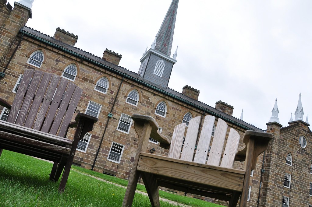
Steeple at Sunset

WP1: Winters Last Grasp
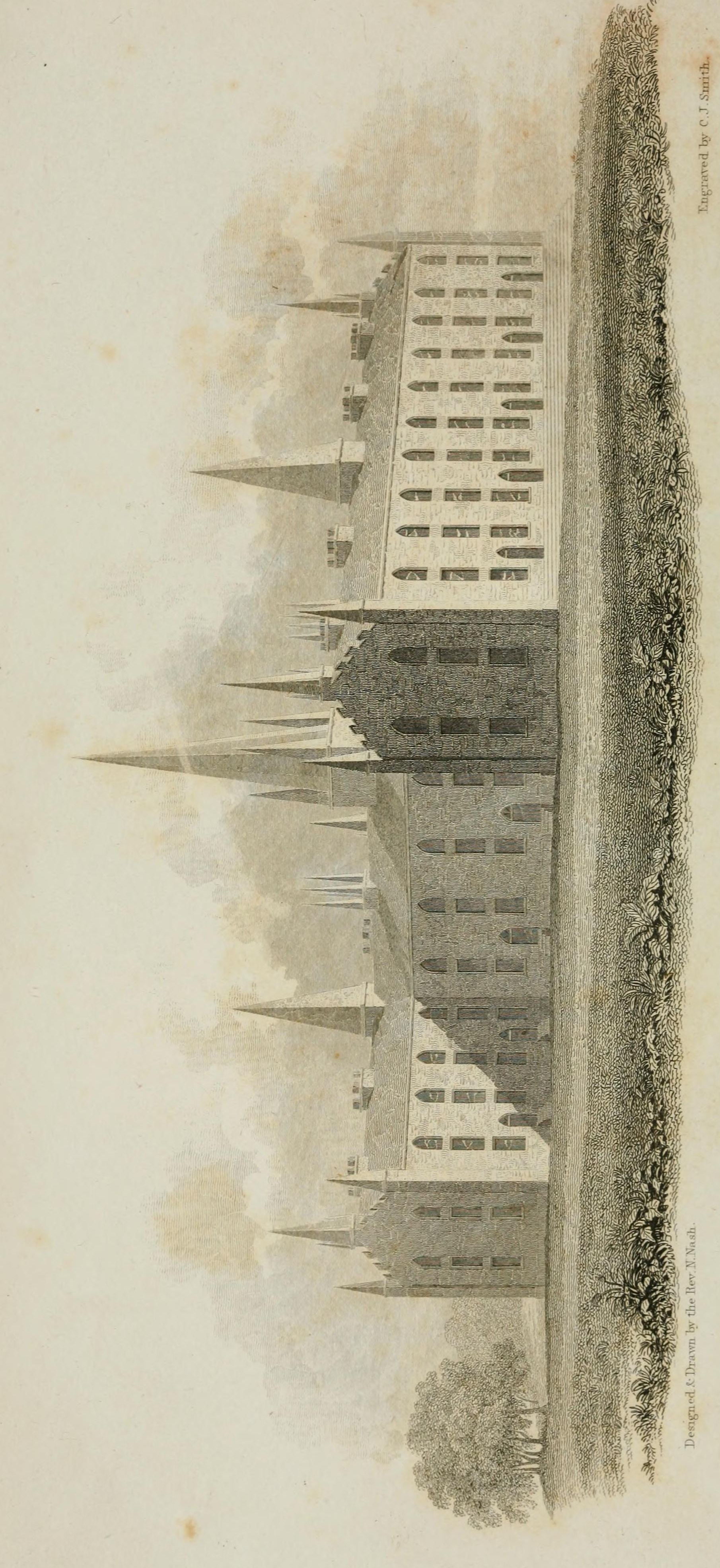
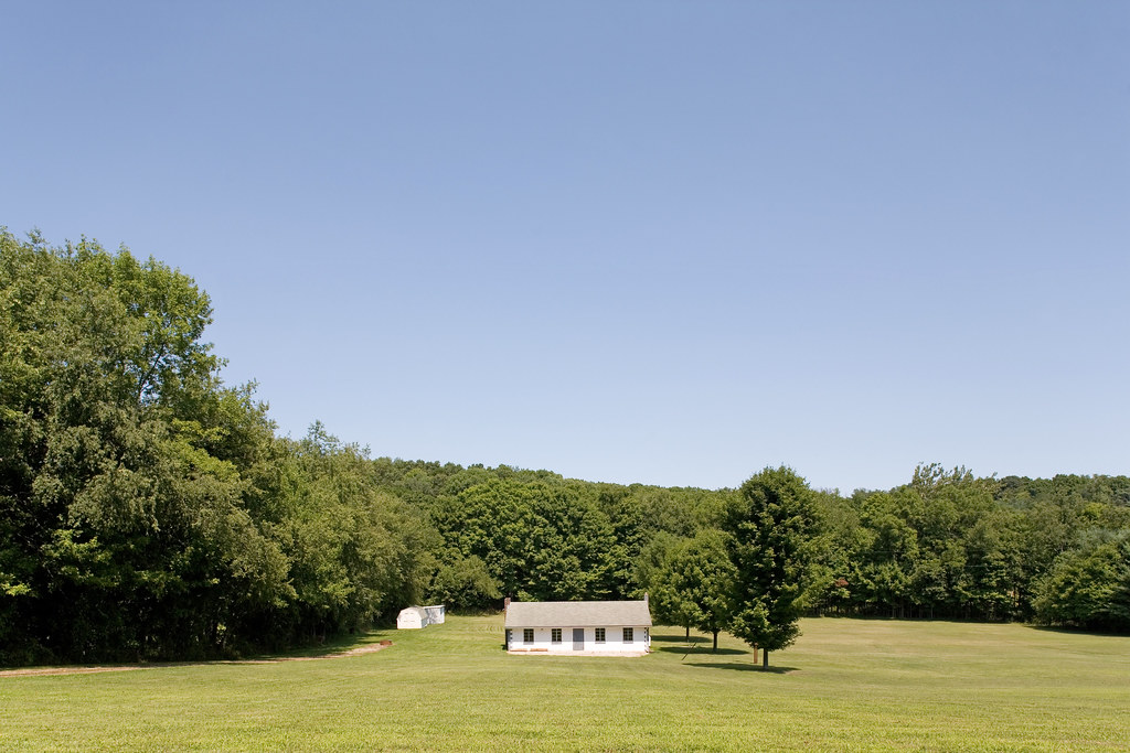
This View of Kenyon College, Ohio
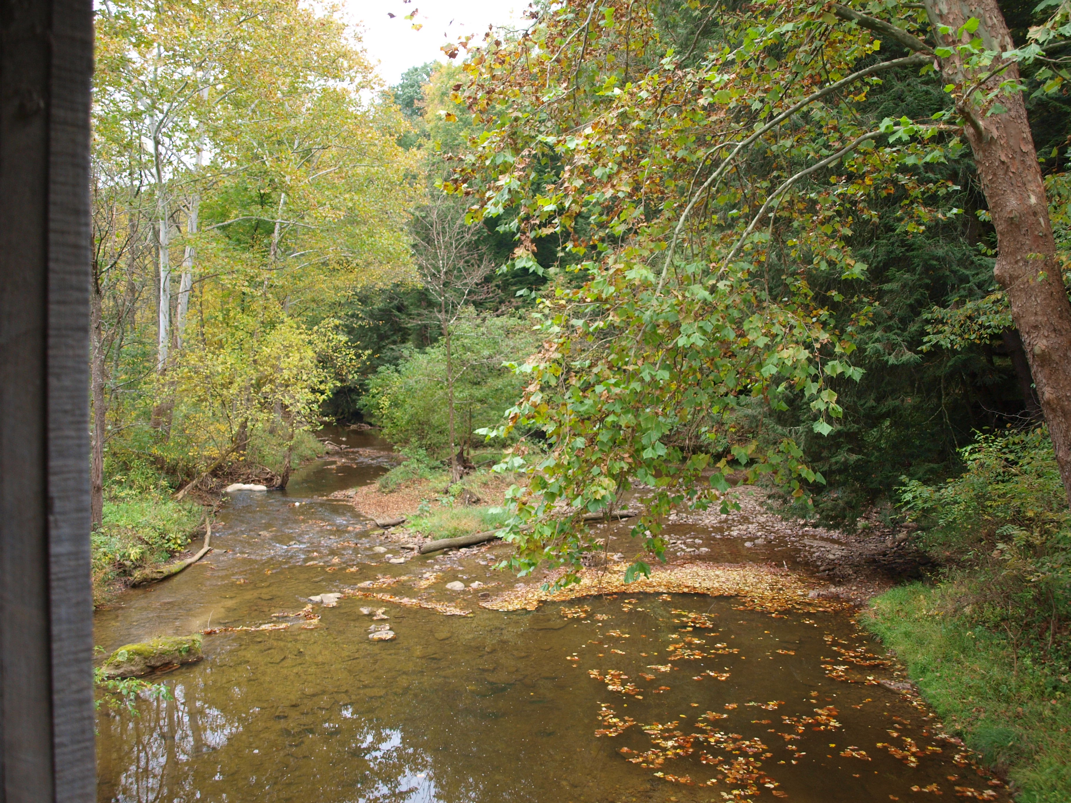
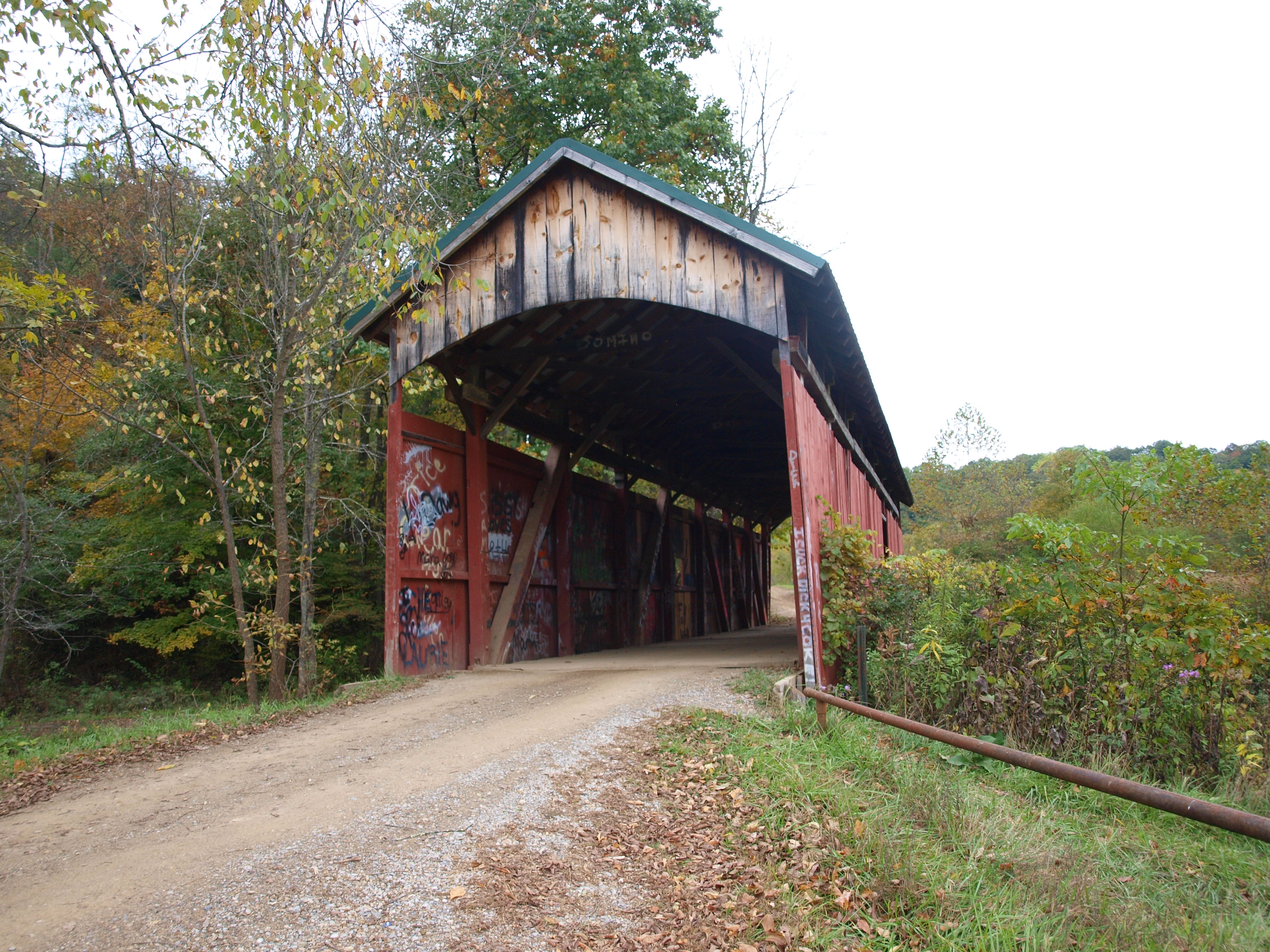
Gregg Covered Bridge, left side creek view, Licking County, Ohio
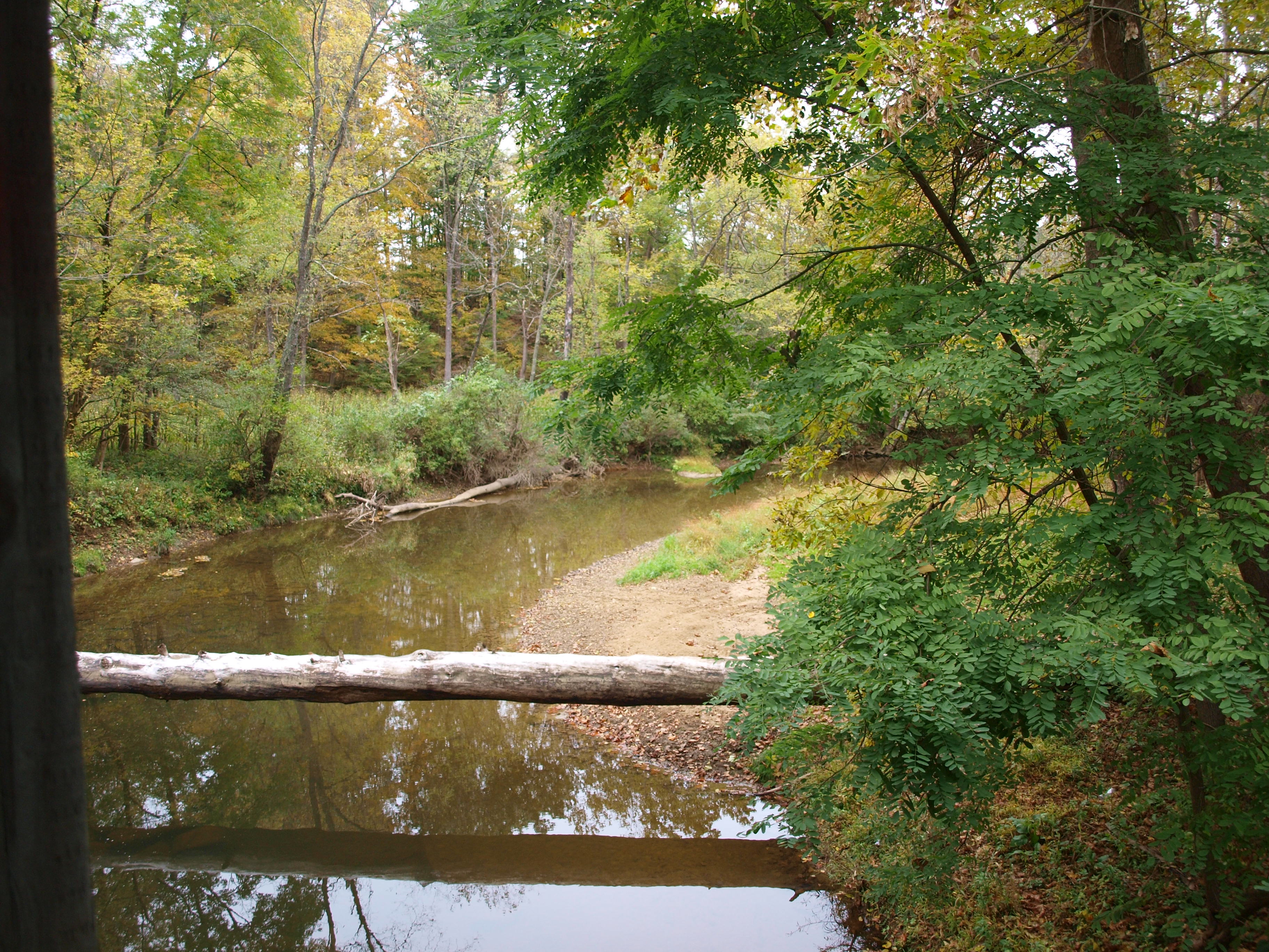
Gregg Covered Bridge, right side creek view, Licking County, Ohio

View from the bottom

Old Kenyon, fall 2005
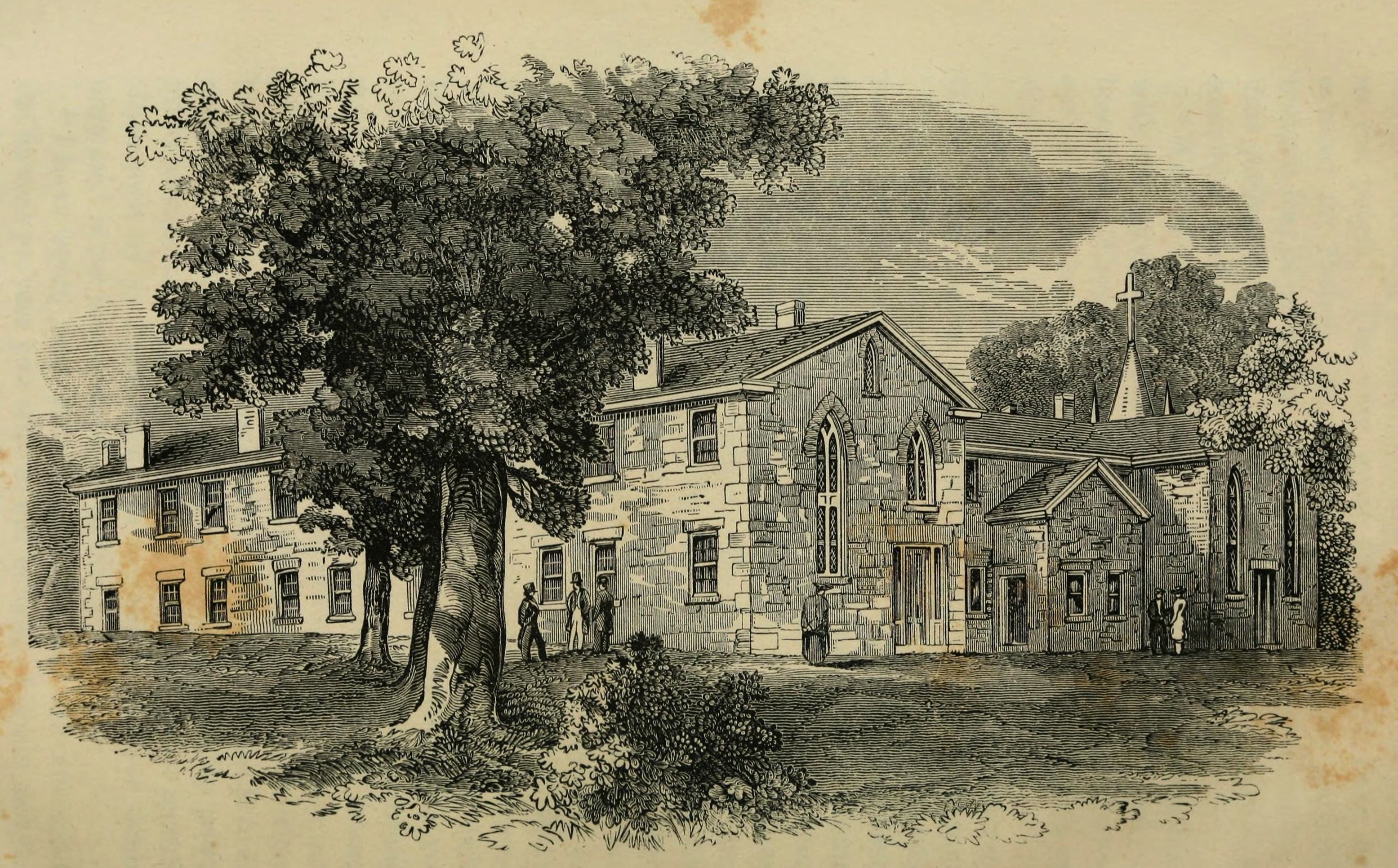
Daguerrian View of Kenyon Chapel and College from the West
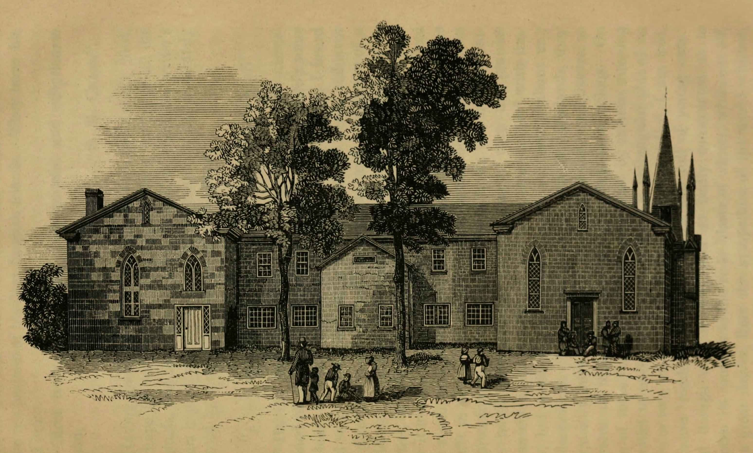
Daguerrian View of Kenyon Chapel and College from the South

Gates of Hell and Middle Path. Kenyon College, Gambier OH, February 2009

Girl Scout Camp Covered Bridge, creek view from vandal damage, Licking County, Ohio
Girl Scout Camp Covered Bridge, cross creek view, Licking County, Ohio
Gregg Covered Bridge, barrel view, Licking County, Ohio
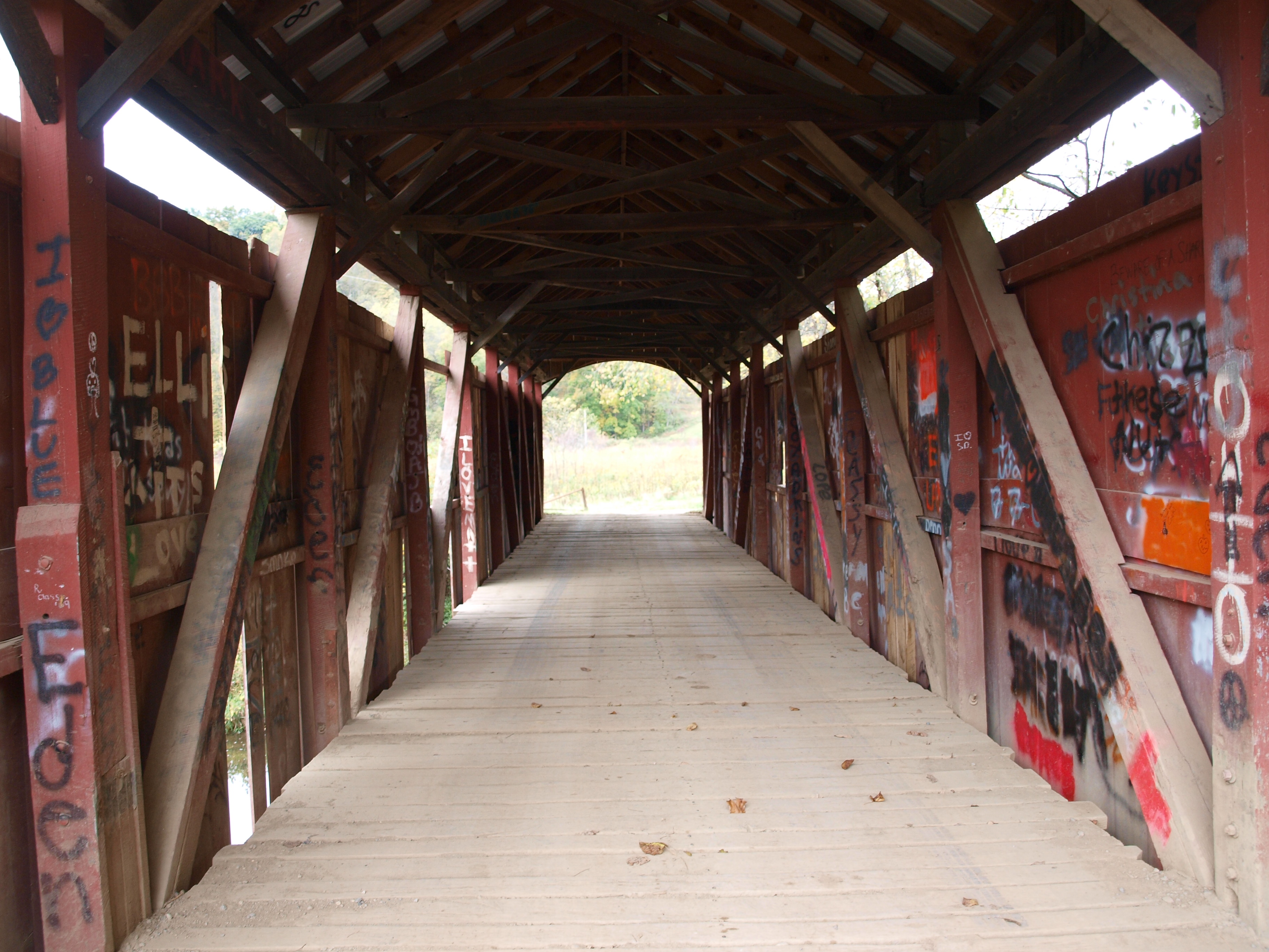
Girl Scout Camp Covered Bridge, barrel view, Licking County, Ohio
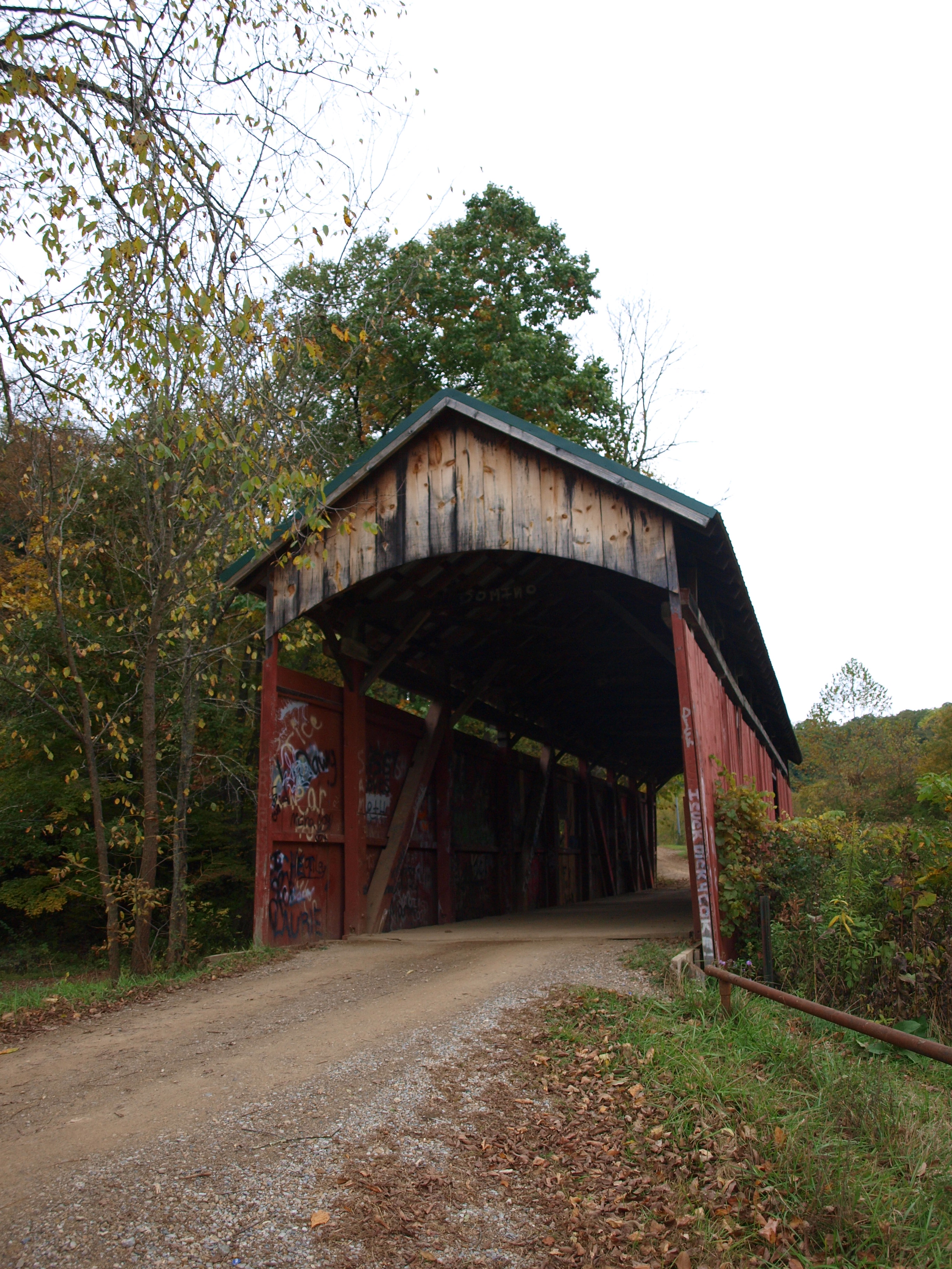
Girl Scout Camp Covered Bridge, cross creek view, Licking County, Ohio (2)
Knox County Coonhunters, Again
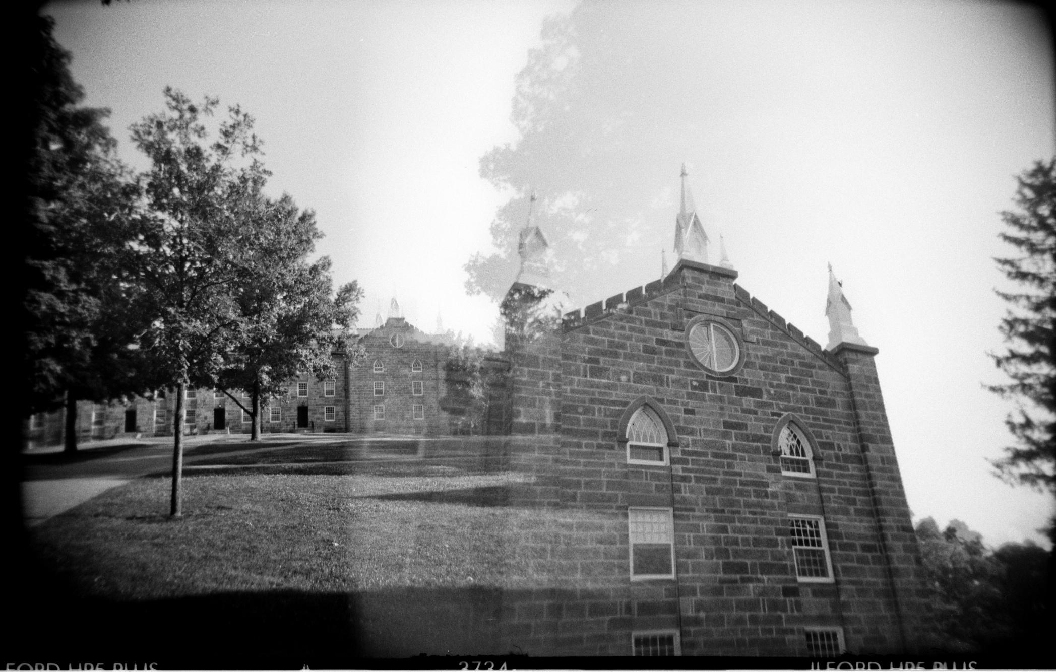
Old Kenyon (2 views). Gambier OH, May 2007
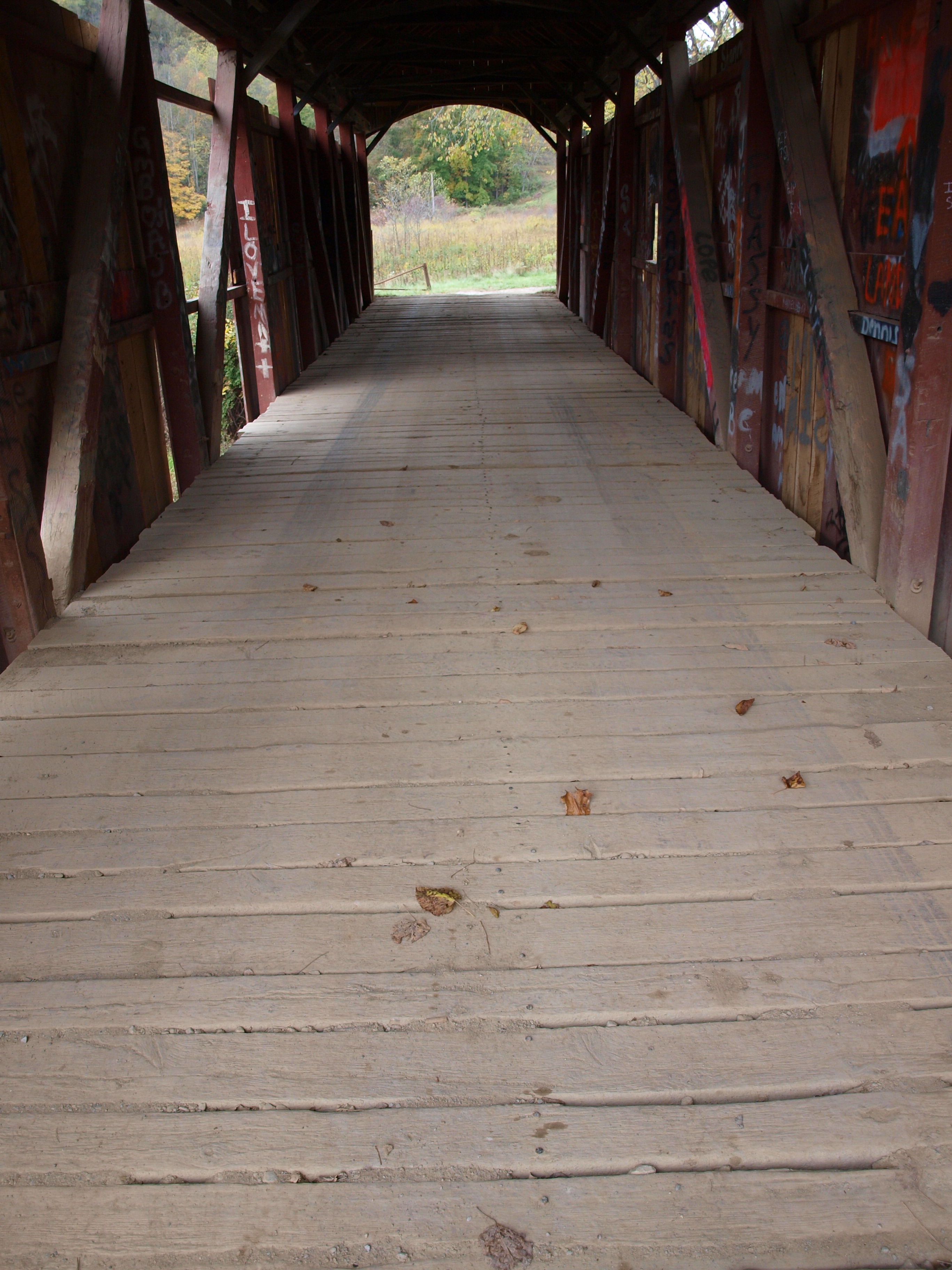
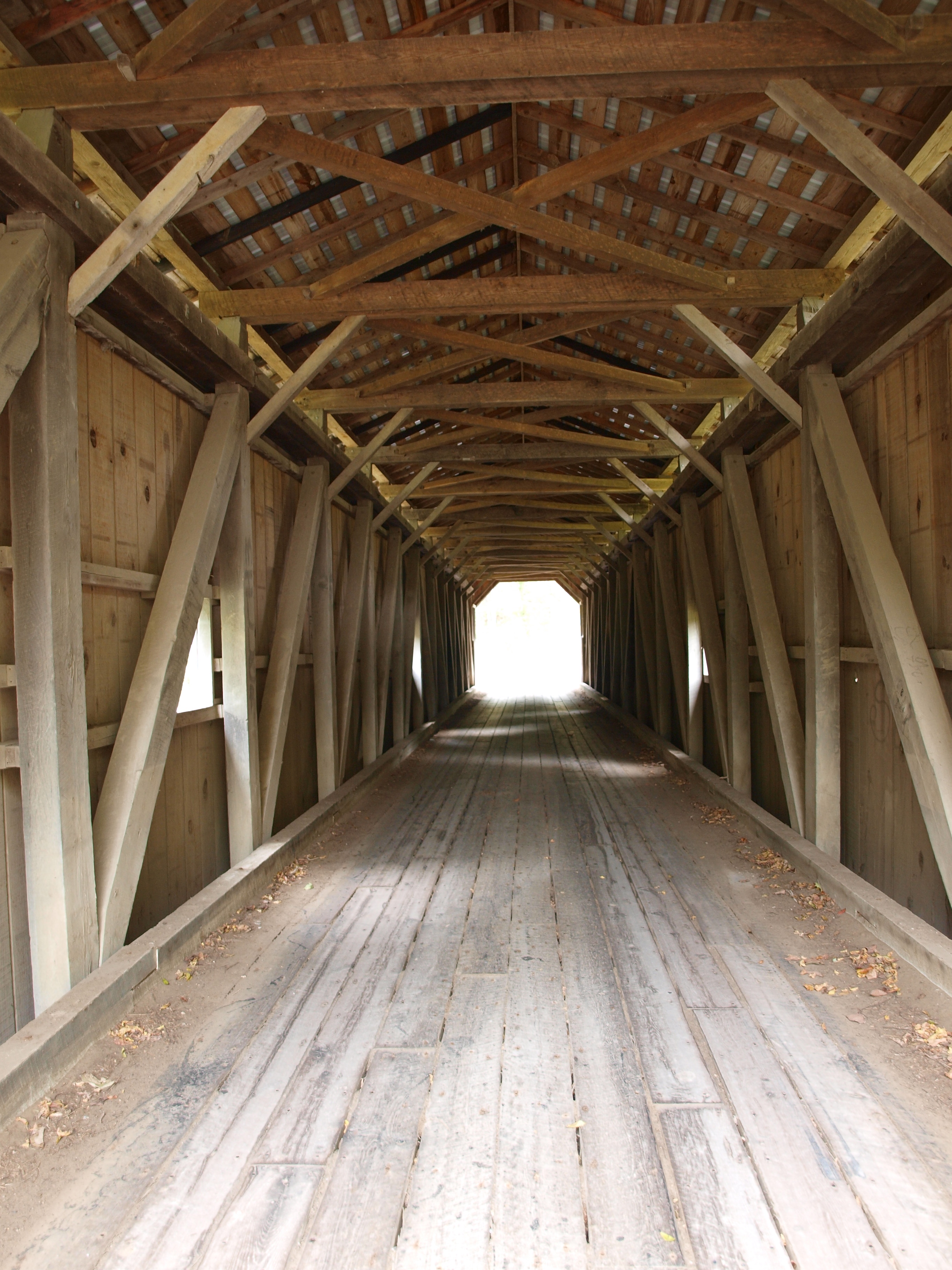
Girl Scout Camp Covered Bridge, floor view, Licking County, Ohio
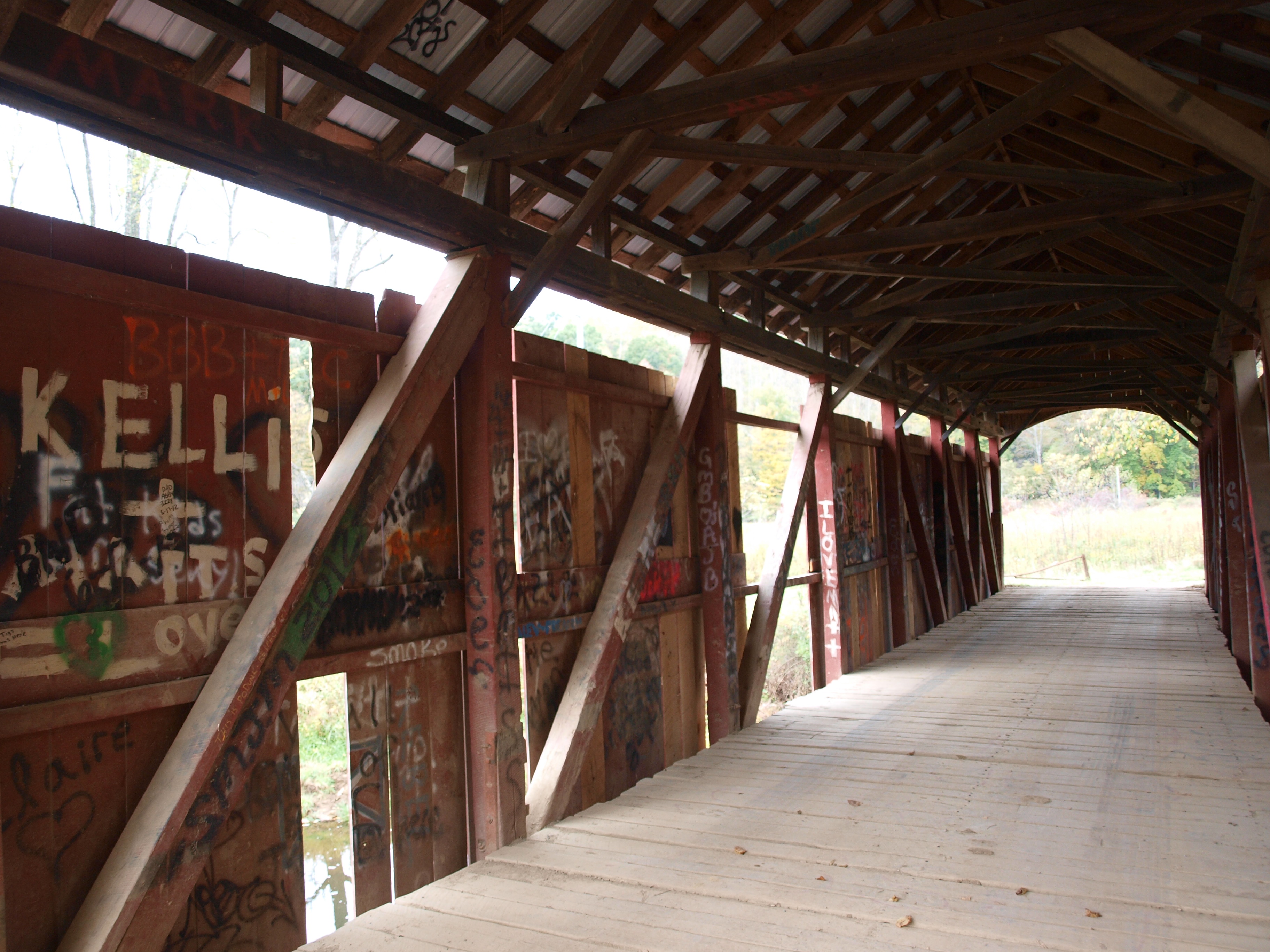
Girl Scout Camp Covered Bridge, truss view, Licking County, Ohio
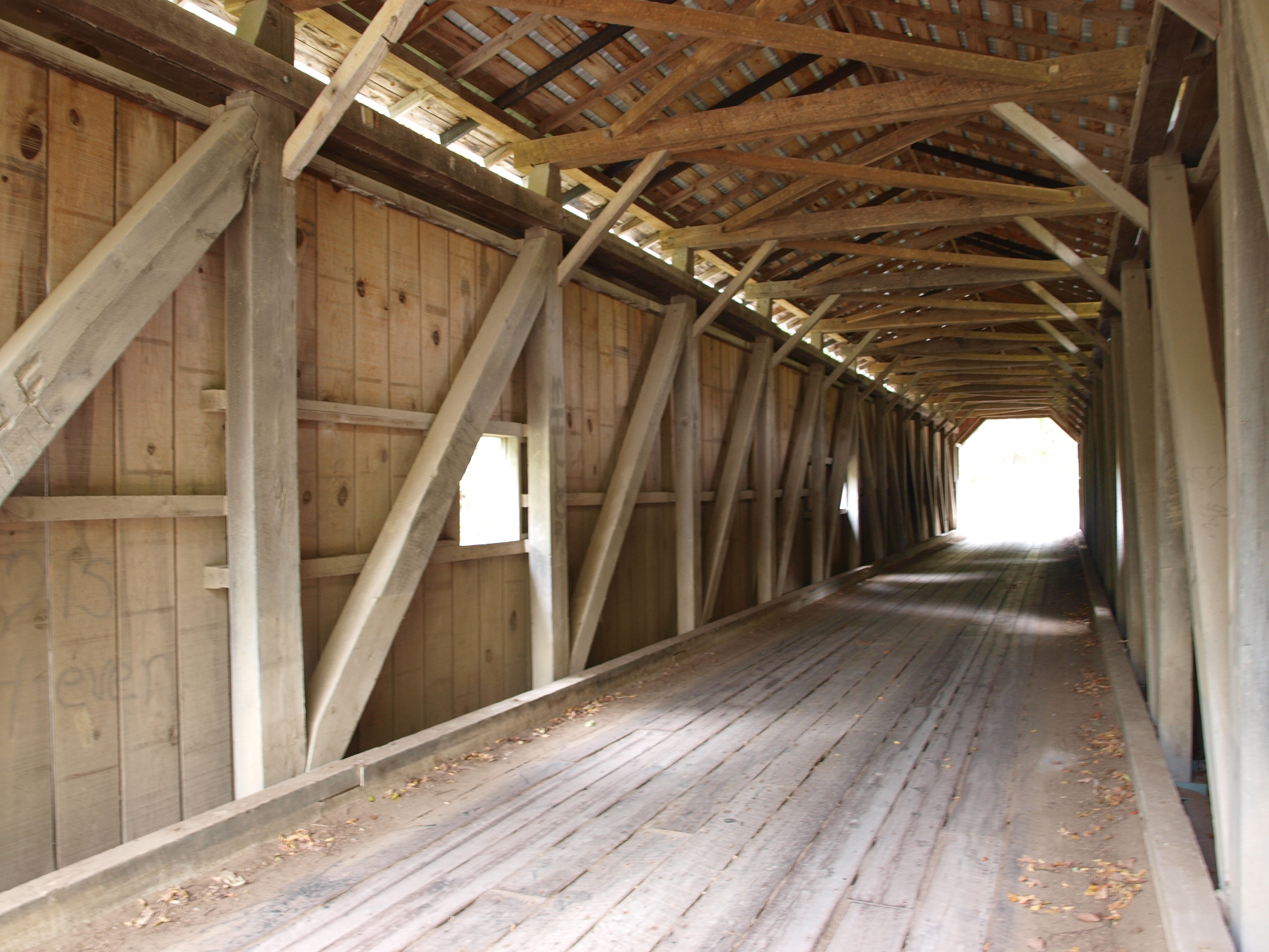
Gregg Covered Bridge, truss view, Licking County, Ohio
View from the cheap seats
Ohio Fall Day

Ohio Farmland Sunrise
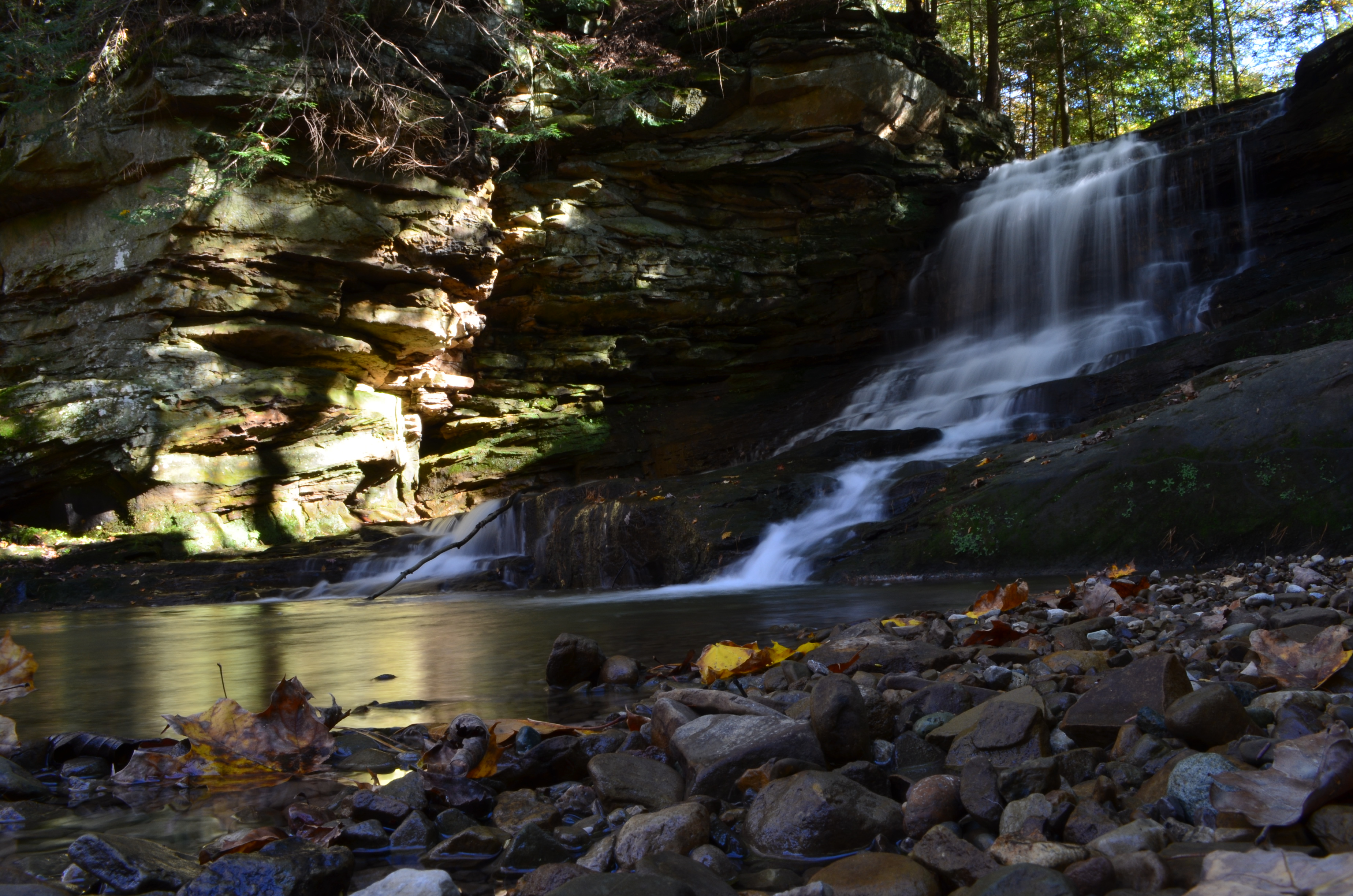
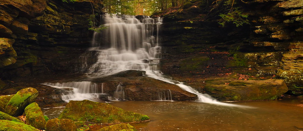
Solitude By the Waterfall

Cold Morning Sun Behind Trees 002

First Shot of the Day....
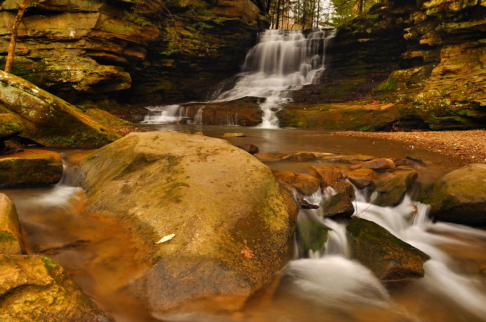
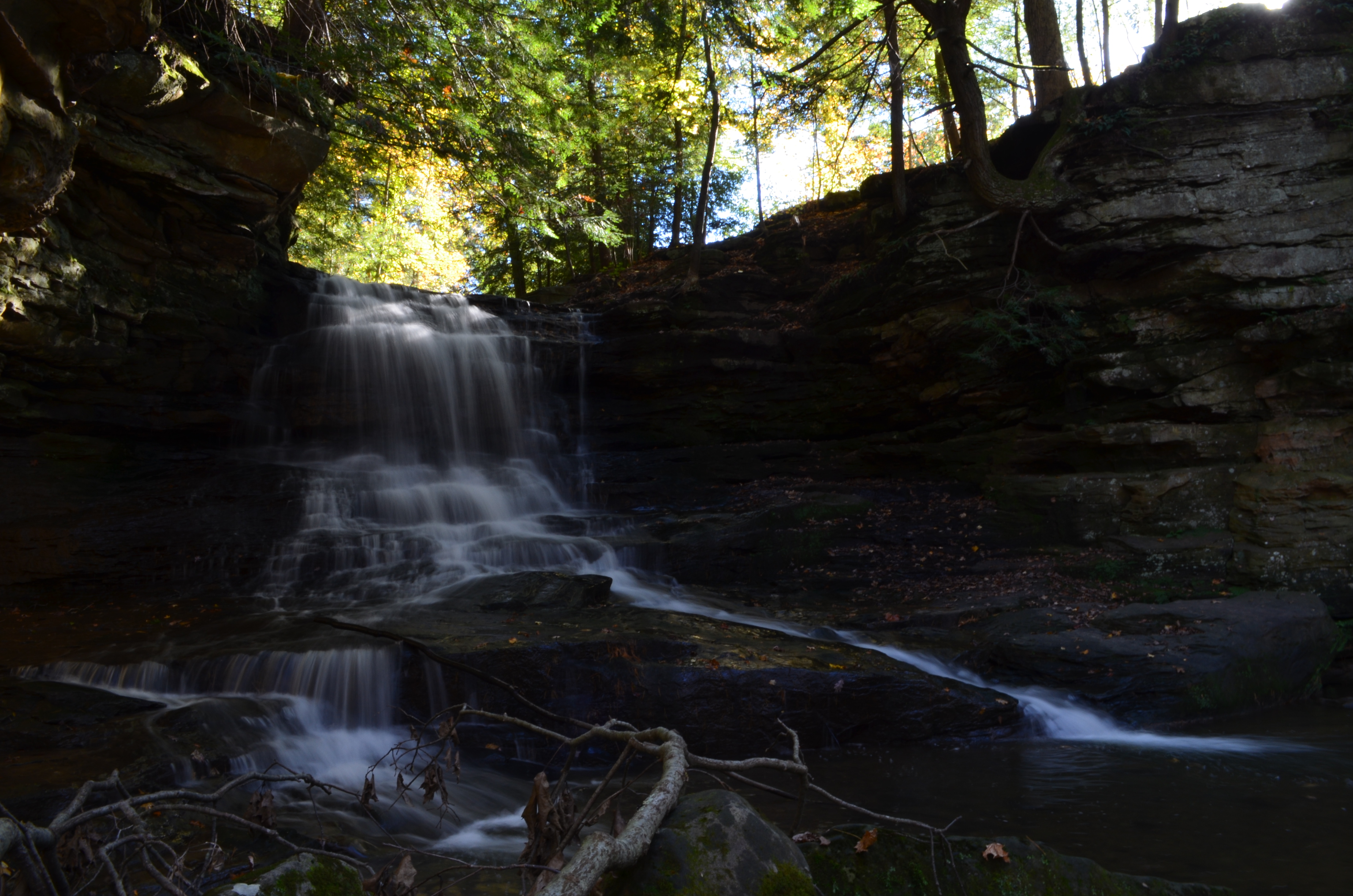
Honey Run Falls - Knox County, Ohio.
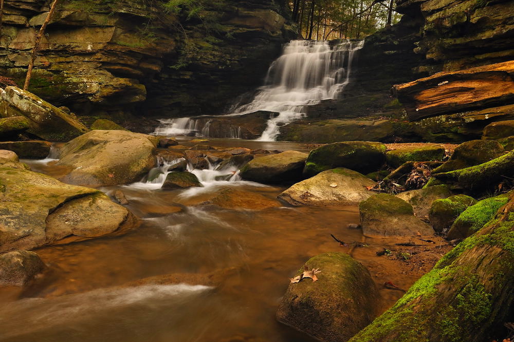
Honey Run Falls - Knox County, Ohio.

Honey Run Waterfall
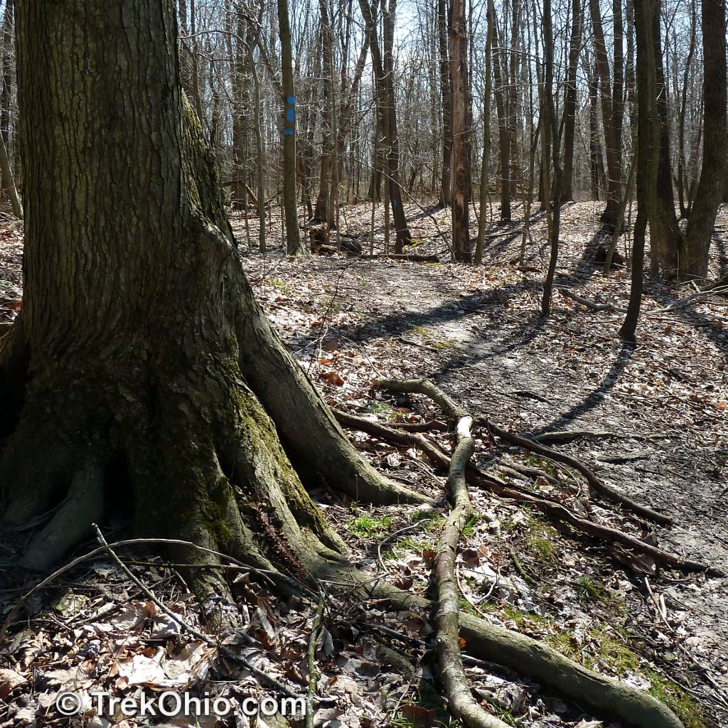
Path around roots
Honey Run Falls - Knox County, Ohio.
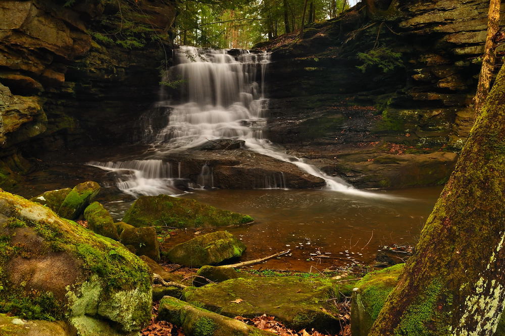
Honey Run Falls - Knox County, Ohio
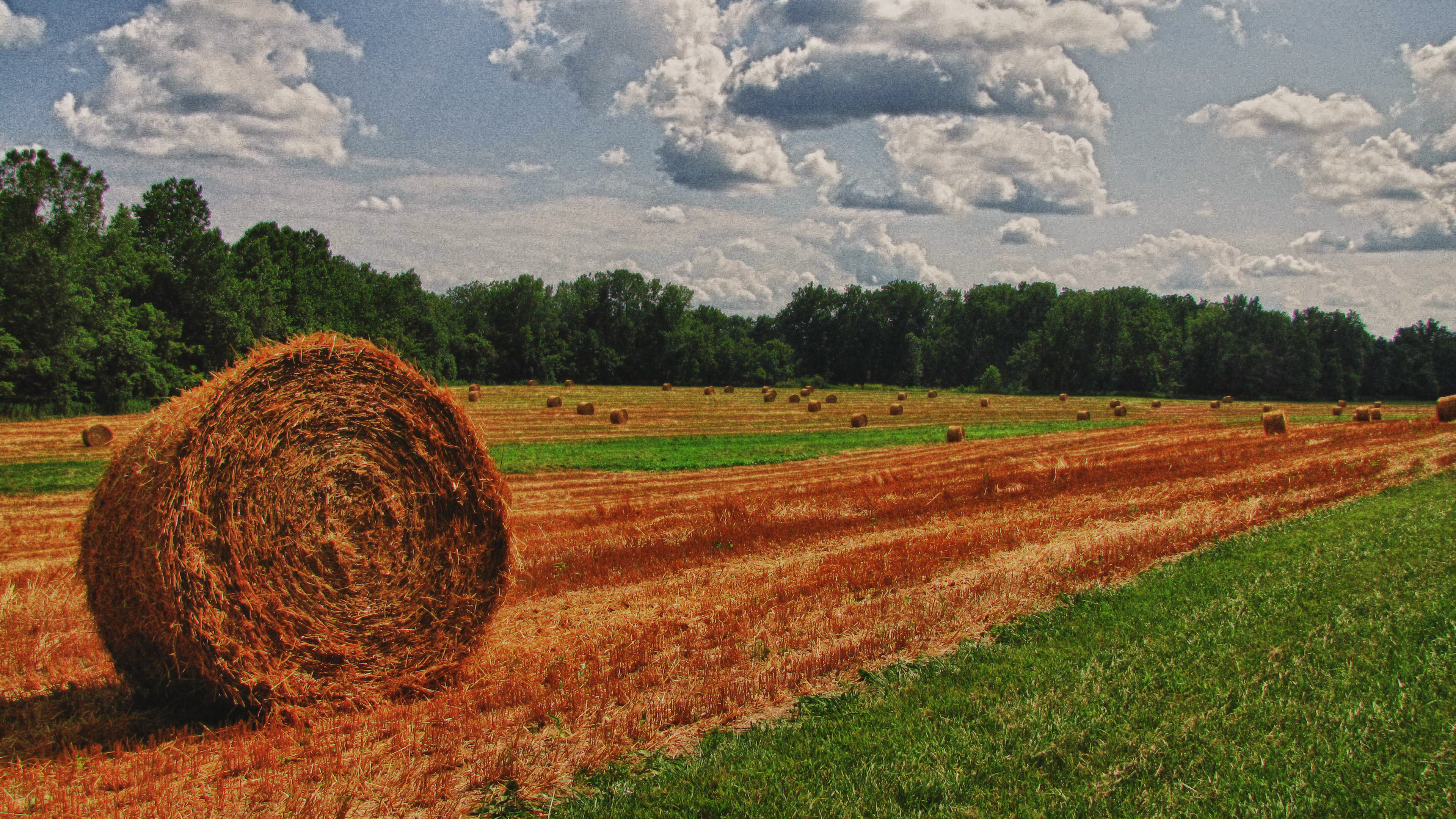
Straw Bale

Last Train to Clarksville

Schnormeier waterfall

42060007 - Black & White
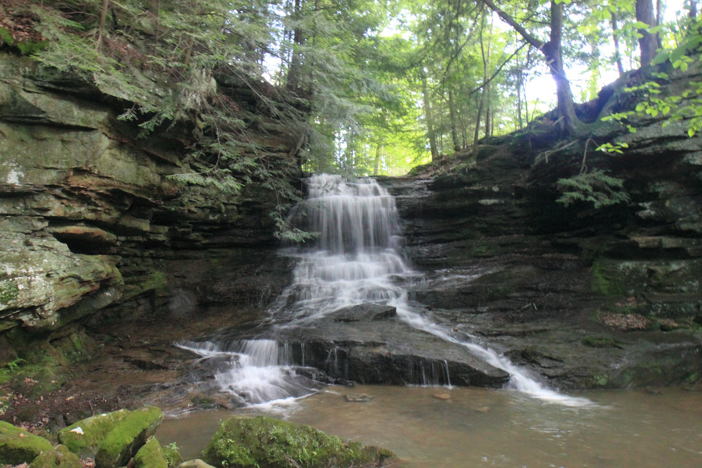
Honey Run_6381.JPG

Honey Run Falls 2010 0529 (3)
bird,bird,bird
River Flow 010

Schnormeier Gardens Pond
Topographic Map of Clay Township, OH, USA
Find elevation by address:

Places in Clay Township, OH, USA:
Places near Clay Township, OH, USA:
62 W Liberty St, Martinsburg, OH, USA
New Guilford Rd, Utica, OH, USA
Harrison Township
20860 Newcastle Rd
10560 Sapp Rd
Small's Sand & Gravel Inc
10650 Sapp Rd
Caves Road
18171 Clutter Rd
1638 Debolt Rd
Gambier
W Wiggin St, Gambier, OH, USA
College Township
Coshocton Ave, Howard, OH, USA
26132 Coshocton Ave
Howard
3475 Range Line Rd
21 Upland Terrace
Ariel Corporation
Miller Township
Recent Searches:
- Elevation of Corso Fratelli Cairoli, 35, Macerata MC, Italy
- Elevation of Tallevast Rd, Sarasota, FL, USA
- Elevation of 4th St E, Sonoma, CA, USA
- Elevation of Black Hollow Rd, Pennsdale, PA, USA
- Elevation of Oakland Ave, Williamsport, PA, USA
- Elevation of Pedrógão Grande, Portugal
- Elevation of Klee Dr, Martinsburg, WV, USA
- Elevation of Via Roma, Pieranica CR, Italy
- Elevation of Tavkvetili Mountain, Georgia
- Elevation of Hartfords Bluff Cir, Mt Pleasant, SC, USA