Elevation of Clay Township, IN, USA
Location: United States > Indiana > Wayne County >

Longitude: -85.044130

Latitude: 39.8961277

Elevation: 305m / 1001feet

Barometric Pressure: 98KPa

Elevation Map:

elevation map of Clay Township, IN, USA
Satellite Map:

Satellite map of Clay Township, IN, USA
Related Photos:

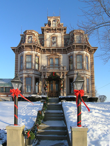
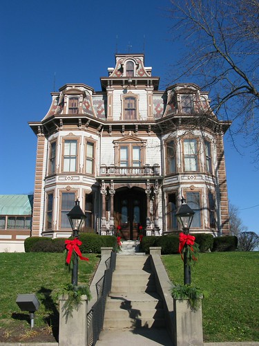
architecture geotagged indiana richmond mansion secondempire waynecounty gaar nationalregisterofhistoricplaces waynecountyindiana gaarmansion geo:lat=39849238 geo:lon=84866488 ecard|holidays~and~seasons|christmas ecard|landmarks|mansions
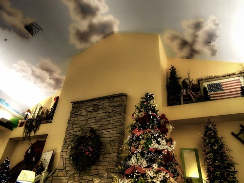
Gaar Mansion at Christmas
pets puppy pepper pug pup supershot abigfave impressedbeauty
Pepper the black Pug puppy! [DO NO STEAL THIS!]
road urban plant abandoned window glass us factory decay doug indiana richmond national 40 exploration cracked natco waggoner
Cracked Rear View
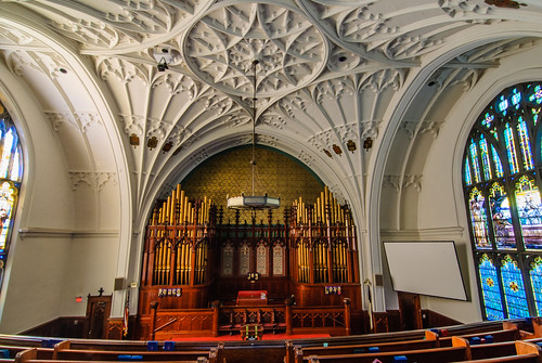
church buildings indiana stainedglass richmond tiffany waynecounty organizations waynet tiffanystudios reidmemorialpresbyterianchurch
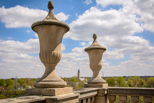
View from the Balcony
pets puppy pepper pug pup
Pepper the thug pug
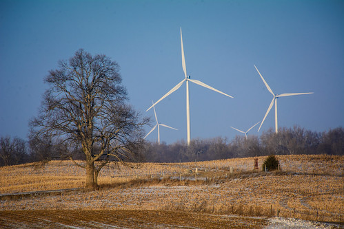
indiana waynecounty photobyjane holmanphotoscom holmanphotography
View from Indiana Trail Road
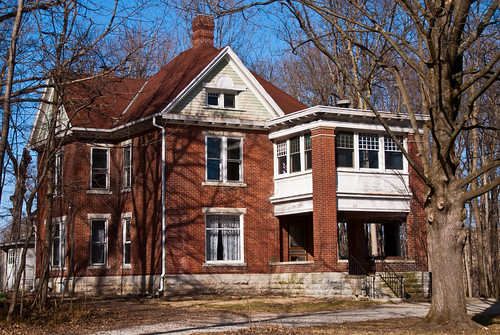
architecture unitedstatesofamerica indiana richmond westside waynecounty nationalregisterofhistoricplaces waynecountyindiana organizations|buildings
David Worth Dennis House
us unitedstates indiana richmond rhs waynecounty richmondhighschool waynet
View from the Bell Tower
night stars indiana richmond mansion secondempire waynecounty gaar nationalregisterofhistoricplaces photobyjane abramgaar holmanphotoscom gaarhouse holmanphotography
Stars over the Gaar Mansion
us unitedstates indiana richmond rhs waynecounty richmondhighschool waynet
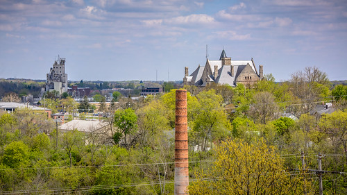
View North Across the Gorge
fall turtle richmondindiana
Springwood Lake
building architecture geotagged indiana richmond government waynecounty nationalregisterofhistoricplaces waynecountyindiana geo:lat=39828833 geo:lon=84895767 ecard|landmarks|government ecard|an~introduction|richmond~and~wayne~county
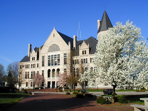
Wayne County, Indiana Courthouse in Spring
house architecture farmhouse victorian indiana richmond mansion secondempire mansard residentialarchitecture nationalregisterofhistoricplaces nrhp gaarmansion abramgaar agnesgaar
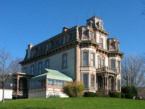
Gaar Mansion
architecture geotagged pillar indiana richmond column mansion homepage starr waynecounty nationalregisterofhistoricplaces waynecountyindiana starrgennett gennett geo:lat=39829764 geo:lon=84877346 ecard|landmarks|mansions
The Gennett Mansion
noflash hipstamatic inas1969film jamesmlens
View from home
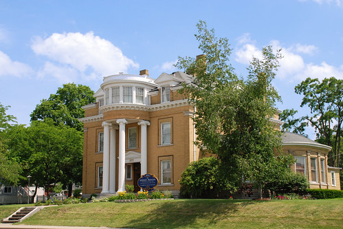
house architecture farmhouse victorian indiana richmond mansion secondempire mansard residentialarchitecture nationalregisterofhistoricplaces nrhp gaarmansion abramgaar agnesgaar
Gaar Mansion
reunion classphoto classof1987 20year earlhamcollege
Earlham College – Class of 1987
architecture indiana richmond waynecounty waynecountyindiana earlhamcollege davidworthdennis johnahasecoster
David Worth Dennis Home
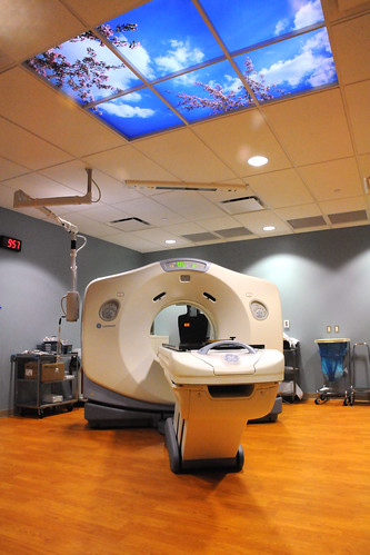
hospital indiana richmond medical health reid homepage mri waynecounty waynecountyindiana reidhospital
MRI at Reid Hospital
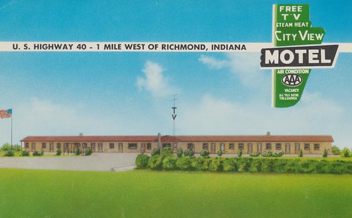
city vintage view postcard indiana motel richmond
City View Motel - Richmond, Indiana
Country View
autumn light sunset sun nature beautiful campus back peace bokeh earth mother indiana richmond gree earlham
The Sun Goes Down
square squareformat mayfair iphoneography instagramapp uploaded:by=instagram foursquare:venue=4ea598e87ee52a35de356567
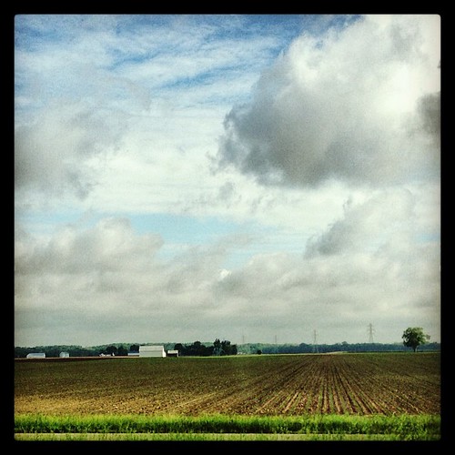
If you look at this picture 300 times, you have pretty much experienced a car ride through Indiana. #roadtrip
square squareformat iphoneography instagramapp xproii uploaded:by=instagram foursquare:venue=4fbe640be4b0135f65143cf2
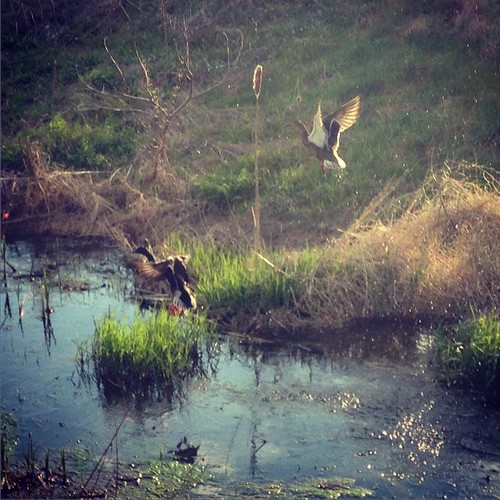
#mallards
county us unitedstates wayne indiana waynecounty cambridgecity waynet
Martindale State Fishing Area
square squareformat iphoneography instagramapp uploaded:by=instagram foursquare:venue=4eed624a0cd61458131fe25b
December 12, 2014
trip orange white color truck unitedstates transport indiana roadtrip stop i70 restarea 2014 greensfork
Truck Transport (DTB_0306)
sky moon fall buildings twilight unitedstates indiana richmond government courthouse waynecounty organizations waynet
Government Campus at Twilight
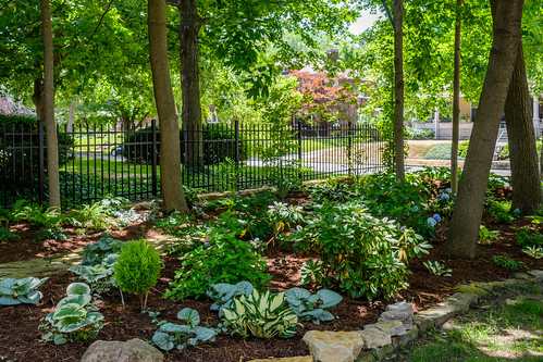
garden indiana richmond ram waynecounty richmondartmuseum waynet secretgardentour
Shade Garden
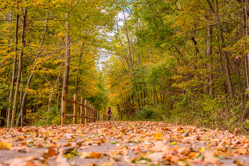
county fall leaves bicycle us unitedstates wayne indiana trail cardinalgreenway economy waynecounty waynet
Cyclist on the Cardinal Greenway
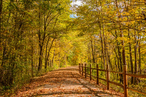
county us unitedstates wayne indiana economy waynecounty waynet
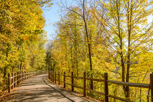
Fall on the Wayne County Cardinal Greenway
county us unitedstates wayne indiana economy waynecounty waynet
Wayne County Cardinal Greenway
square squareformat iphoneography instagramapp uploaded:by=instagram foursquare:venue=4eed624a0cd61458131fe25b
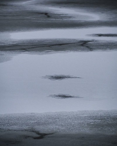
Kite pond frozen at Cope
square squareformat iphoneography instagramapp uploaded:by=instagram
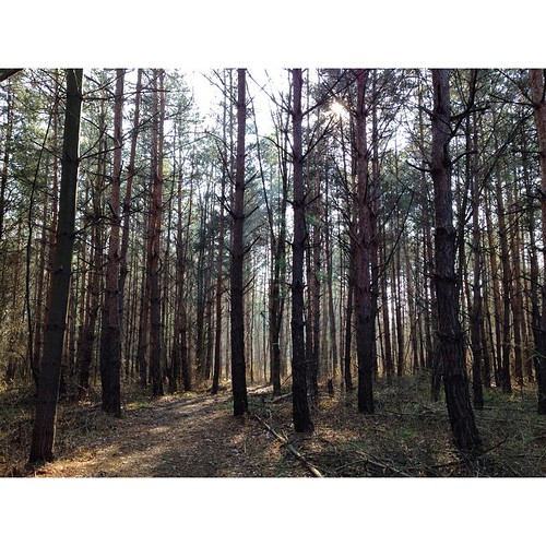
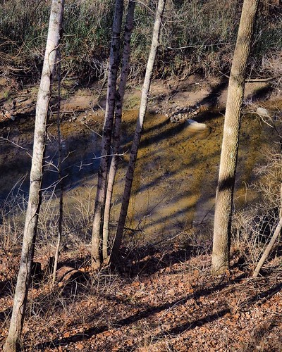
#forest #indiana #midwest #trees #shadows #lines
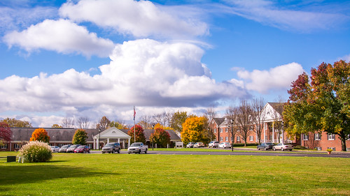
autumn friends fall buildings unitedstates indiana richmond quaker waynecounty seniorhousing organizations waynet friendsfellowship friendsfellowshipcommunity
Friends Fellowship Community
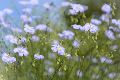
flowers nature garden flora library indiana richmond mrl geolocation waynecounty morrissonreeves waynet morrissonreeveslibrary geocity geocountry camera:make=nikoncorporation exif:make=nikoncorporation geostate exif:aperture=ƒ56 exif:lens=1802700mmf3563 camera:model=nikond7100 exif:model=nikond7100 exif:focallength=85mm exif:isospeed=200 geo:lat=39830319444445 geo:lon=84894580555555
Airy Blue Flowers
square squareformat iphoneography instagramapp uploaded:by=instagram
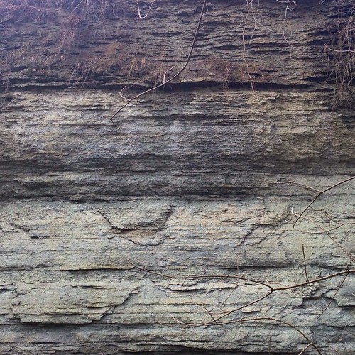
Ordovician cliffs
sunset summer sky cloud sun field post rusty indiana marker survey hdr witness 3xp ef2818 canon5dmarkii
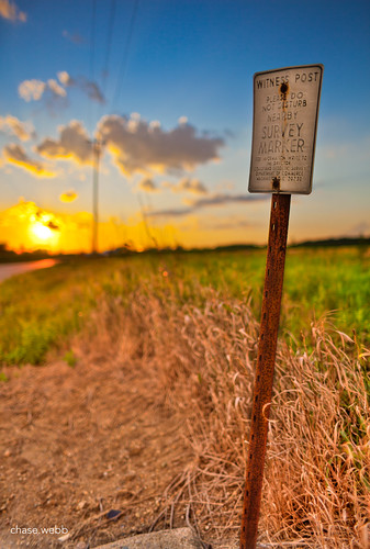
The Weathered Sign
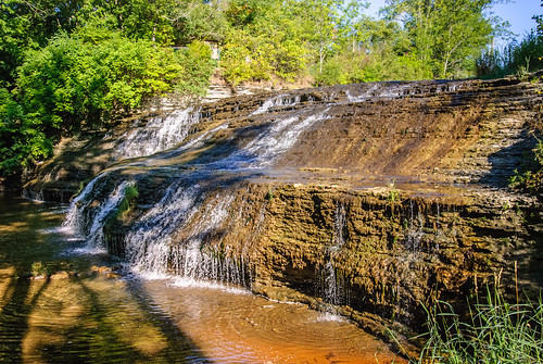
park water waterfall unitedstates wayne indiana falls richmond whitewaterriver springwood thistlethwaite thisthlewaitefalls countywayne countywaynecountyindianaindiana countyindianaindiana thisthlewaite waynecountyspringwoodthisthlewaitethisthlewaite
Thistlethwaite Falls
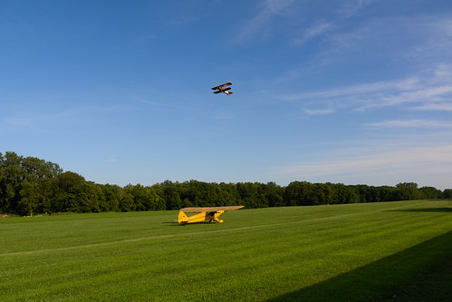
airplane airport indiana places things transportation flyingcircus hagerstown locations biplane transporation pipercub waynecounty waynet hagerstownflyingcircus
Hagerstown Flying Circus 2015