Elevation of Clay Hill Rd, Johnson, VT, USA

Location: United States > Vermont > Lamoille County > Johnson >

Longitude: -72.676598

Latitude: 44.649738

Elevation: 246m / 807feet

Barometric Pressure: 98KPa

Elevation Map:

elevation map of Clay Hill Rd, Johnson, VT, USA
Satellite Map:

Satellite map of Clay Hill Rd, Johnson, VT, USA

Related Photos:

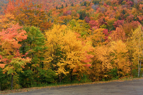
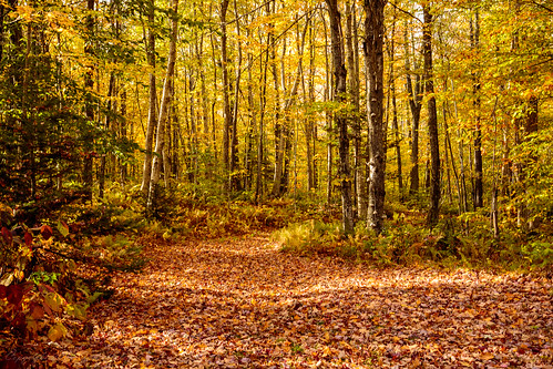
autumn fall landscape scenery vermont unitedstates scenic newengland scene foliage stowe 2009 vt vermonth morsesmill
Vermont Fall Foliage 6
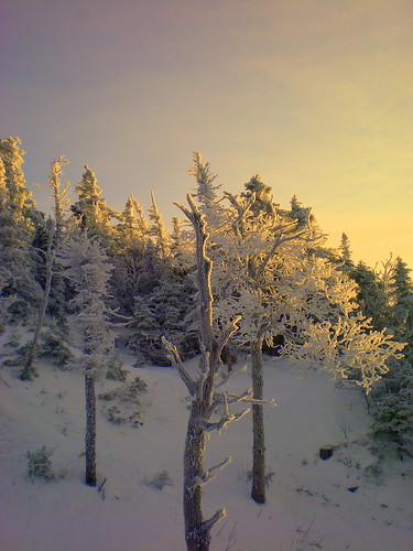
winter mountain snow nature landscape vermont skiing view vt skitrail iphone smugglersnotch iphone5 iphoneography uploaded:by=flickrmobile flickriosapp:filter=nofilter
Upper Chilcoot View
mountain landscape snow winter cold weather foggy fog clouds cloudporn nature naturephotography stowemountainresort stowe vermont vt unitedstatesofamerica usa nikon d610 nikkor 2018g fav10 fav25 fav50
Mt. Mansfield
winter sun snow tree ice vermont december lift delete7 explore saturation icy savedbythedeltemeuncensoredgroup 2007 smugglersnotch smuggs dmu cotcmostinteresting interestingness59 i500 jefforsonville
view from the chair, icy trees
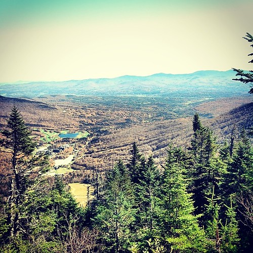
cambridge mountains nature landscape vermont hiking newengland lookout smugglersnotch
Elephant's Head Cliff Lookout
square squareformat iphoneography instagramapp uploaded:by=instagram foursquare:venue=4b1b1928f964a52013f823e3
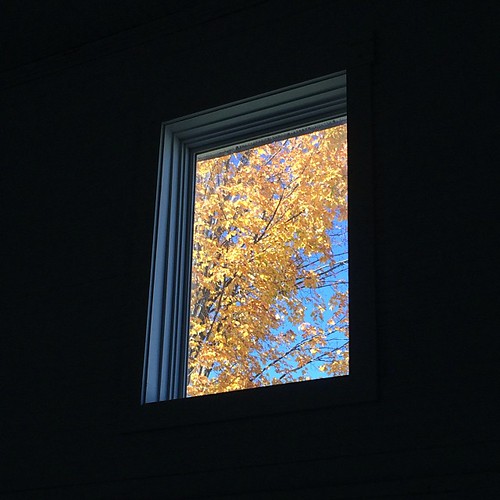
I have morning, @greenmtncoffee , QUIET and a balcony with this view. #yourperfectcup
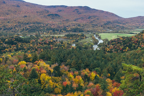
autumn vacation fall nature vermont hiking newengland lookout foliage event longtrail scenicviewpoint
Prospect Rock
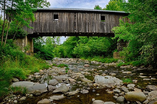
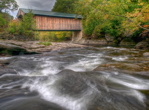
wood bridge cambridge greenleaves green mill creek river outdoors rocks stream vermont unitedstates bluesky hike trail covered coveredbridge vt woodbridge gristmill greenmountains grist whiteclouds oldbridge greenfoliage
A Side-View of the Grist Mill Covered Bridge, Green Mountains, Vermont (VT) (DSH_5400-01)
square squareformat iphoneography instagramapp uploaded:by=instagram foursquare:venue=4bb00ac8f964a52091333ce3
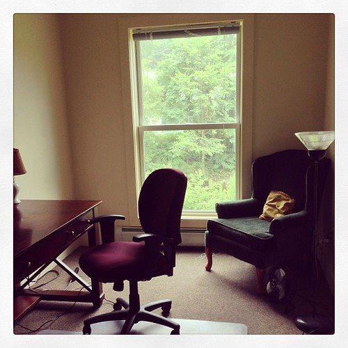
Studio view
square squareformat iphoneography instagramapp xproii uploaded:by=instagram foursquare:venue=4ba61ef9f964a520203539e3
View from the top of the Stowe Gondola
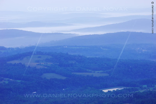
morning blue cambridge nature fog landscape dawn photo vermont quiet view unitedstates photograph vista serene peaks predawn vt daybreak valleys greenmountains smugglersnotch bluecast sterlingmountain
Cool Dawn, Green Mountains in Blue (DSH_5593)
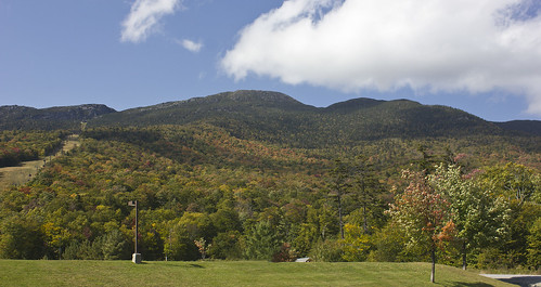
stowe vermont vt mount mansfield gondola view cliff lake spruce peak green mountains landscape
Early Fall Colours
panorama mountain black ski ice point hardware high vermont mt angle pano wide peak bowl panoramic resort diamond mount alpine area summit axe stowe tundra vt mansfield smugglers notch piolet flickrandroidapp:filter=berlin
Mount Mansfield 4,393 Ft. #21
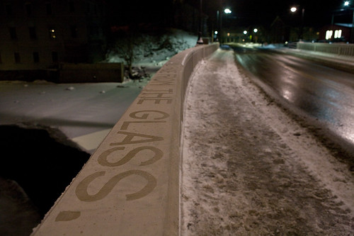
art ice water typography vermont artist johnson installation writer lettering residency resident vermonststudiocenter vsccollaboration alenagraedon
Quick-Frozen, Short-Lived (Installation view)
cambridge fall waterfall vermont jeffersonville brewsterrivergorge canonefs1855mmf3556is
Brewster River Gorge
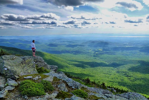
vermont hiking johnson hike vt prospectrock
panoramic view from the summit of Prospect Rock
valencia square squareformat iphoneography instagramapp uploaded:by=instagram foursquare:venue=4bb00ac8f964a52091333ce3
MY ROOM WITH A VIEW, ya'll. oh my god, a studiooooooo yessssss I can't wait to fill that bookshelf with all my shit!! #writerjoy
mountain view
hiking 2007
View from Adam's Apple
square squareformat iphoneography instagramapp uploaded:by=instagram foursquare:venue=4e6044db18a8ce02fbe677d2
mountain view farm
art ice water typography vermont artist johnson installation writer lettering residency resident vermonststudiocenter vsccollaboration alenagraedon
Quick-Frozen, Short-Lived (Installation view)
bridge vermont covered waterville montgomery vt afsdxvrzoomnikkor1855mmf3556g
Montgomery Covered Bridge
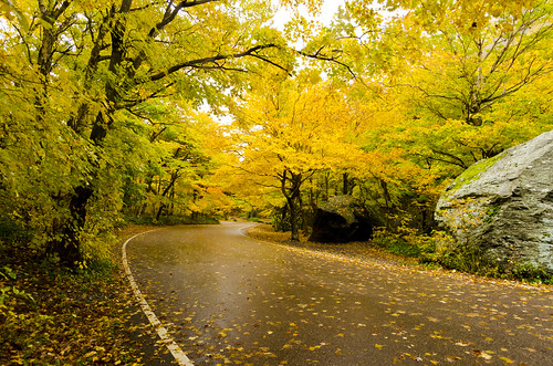
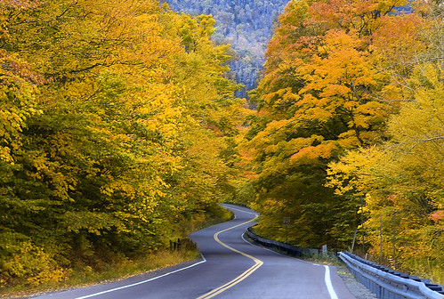
road nature colors yellow vermont fallfoliage vt smugglersnotch
The very essence of romance is uncertainty...
cambridge fog trekking landscape morninglight vermont hiking backpacking backpacker greenmountains mountmansfield longtrail lakeoftheclouds jeffersonville lamoilleriver lamoillecounty vermontlandscape greenmountainclub bearclawridge
The Claw and Lake of the Clouds
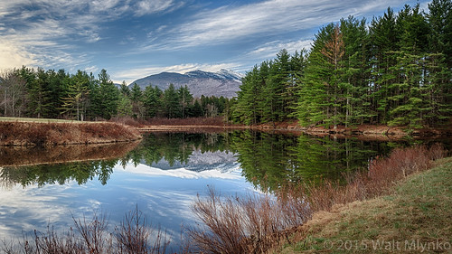
Notch Beaver Pond 1
autumn trees cambridge fall vermont vt 2012 smugglersnotch
Don't cry because it's over, smile because it happened...
cambridge us vermont unitedstates where northamerica namedplaces
Vermont Pond
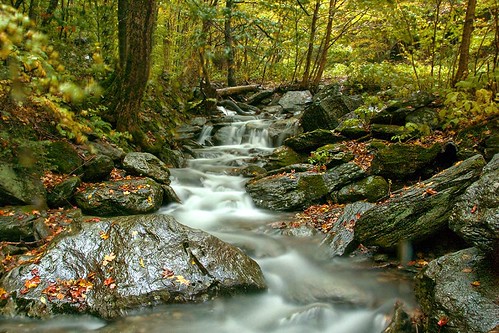
autumn trees mountain water leaves rocks colorful stream vermont newengland brook vt mtmansfield mountainbrook greenmountains smugglersnotch
A Brook at Smuggler's Notch
sunset summer plants sun lake 3 plant nature water set canon vermont day mark iii 5d eden stowe hdr mkiii mk3
The lake
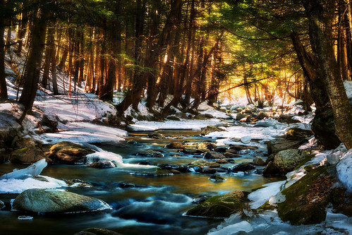
trees tree nature water rock forest river landscape flow rocks stream rocky 70200
Magical River
landscape waterfall spring vermont hiking falls foliage greenmountains jeffersonville
Post Rain Falls
square squareformat hefe iphoneography instagramapp uploaded:by=instagram foursquare:venue=4c9cbfebf565236a31284865
Setting over Mansfield
I can see my house from here
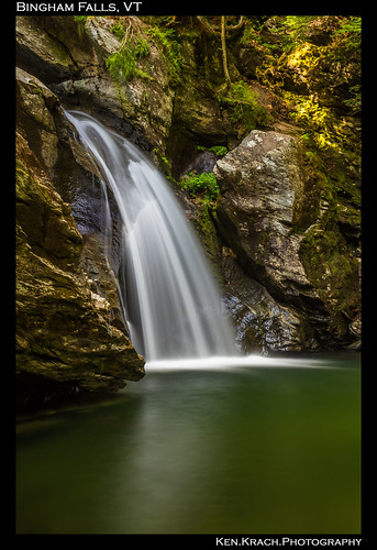
longexposure water waterfall vermont binghamfalls
Bingham Falls 8-1-12 (10)
mist lake mountains fog forest sunrise dawn woods vermont newengland vt
how glorius a greeting the sun gives the mountains.
autumn fall landscape scenery vermont unitedstates scenic newengland scene foliage stowe 2009 vt smugglersnotch vermonth
Vermont Fall Foliage 5
mountains trekking landscape vermont hiking backpack backcountry stowe polarizer greenmountains longtrail greenmountainnationalforest hikevermont
Hell Brook Portrait
vermont unitedstates stowe fallfolliage stowevt sterlingbrookgorge
Fall_Folliage_2014-1118
t42_901120151011_DSC5284.jpg
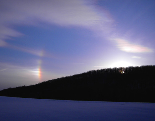
vermont stowe vt sundogs
Sun Dogs
Smuggs Foliage