Elevation of Clarks Bluff Rd, Kingsland, GA, USA

Location: United States > Georgia > Camden County > Kingsland >

Longitude: -81.765347

Latitude: 30.7780542

Elevation: 6m / 20feet

Barometric Pressure: 101KPa

Elevation Map:

elevation map of Clarks Bluff Rd, Kingsland, GA, USA

Satellite Map:

Satellite map of Clarks Bluff Rd, Kingsland, GA, USA

Related Photos:

birds
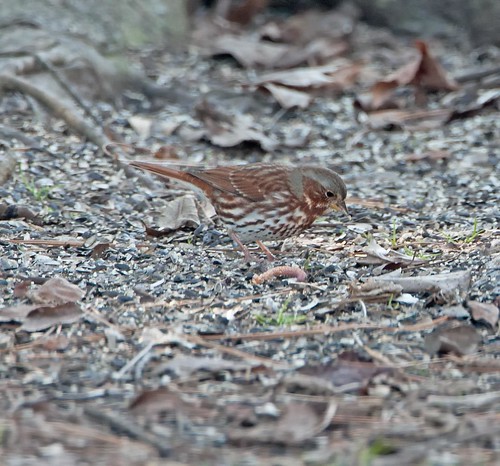
Fox Sparrow (Red)
abandoned geotagged motel americana fl roadside 2010 souveniers geo:lat=30735911 geo:lon=81687889
DON'T FORGET THE SOUVENIRS
abandoned sign geotagged motel palmtree fl roadside 2010 geo:lat=30735911 geo:lon=81687889
BORDER MOTEL
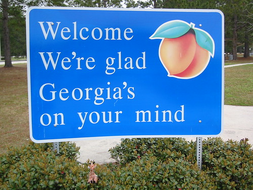
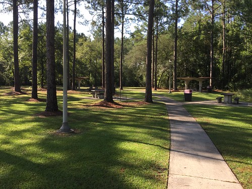
usa georgia signage restarea kingsland topviewed
We're Glad Georgia's On Your Mind
usa birds ga stmarys
Fox Sparrow (Red)
geotagged geolat307284175 geolon81684565
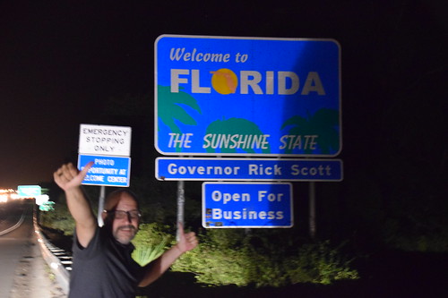
Entering Florida
geotagged geolat308173475238068 geolon816937251428566
Time for hydration--again!
geotagged geolat307280313333347 geolon816842665555566
Entering Florida
geotagged geolat3072702875 geolon8168350175
Our last state--now to bike the length of FL--Tropical storm on the way...
geotagged geolat307274205 geolon816838065
Our 4th state in as many days
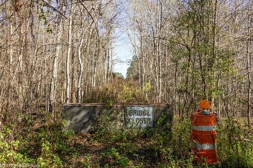
barrel blocked barrier block barricade 2019 201801floridatrip plants signs overgrown forest landscape concrete flora scenery traffic florida pov january scenic structures bridges sunny bluesky roadtrip symmetry depthoffield swamp infrastructure symmetrical fl marsh perpendicular obstacle centered blocking q3 callahan crossings spans linedup headon centralperspective bridgeclosed deepdepthoffield jimfraziercom spellswamp trees winter vacation water warning woodland woods transportation wetland woodlot verticals undergrowth verticallines orange lifefindsaway f10
Near Callahan, Florida
florida yulee 1s us unitedstates landscape jpeg sealevel interstate95 flashoff 14s iso6400 f48 northlatitude focallength46mm didnotfire 18270mmf3563 gpsspeed softwarever100 orientationupperleft nikoncorporationnikond5300 4496x3000x24b exifversion23 all allsyncflickr 1sl6 travel t201605 l6 2016
20160711 003100 1SL6
2018-08-29_10-50-18
usa reflection ir pentax infrared 2008 istds zoomlens stmarysriver dsir da1224 istdsir jrpq irwithmodifiedcamera
Steel Truss Bridge (IR)
St. Marys River
Day ocala to Florence july 2015
ocean beach georgia stsimonsislandgeorgia
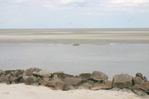
St. Simon's Island, Georgia
Hunt Club
square squareformat iphoneography instagramapp uploaded:by=instagram foursquare:venue=50e37546e4b070c043a31c44
Sunset at the Florida state line! #miamibound #roadtrip