Elevation of City of Iriga, Camarines Sur, Philippines
Location: Philippines > Bicol > Camarines Sur >
Longitude: 123.418047
Latitude: 13.4205369
Elevation: 21m / 69feet
Barometric Pressure: 101KPa
Elevation Map:
Satellite Map:
Related Photos:
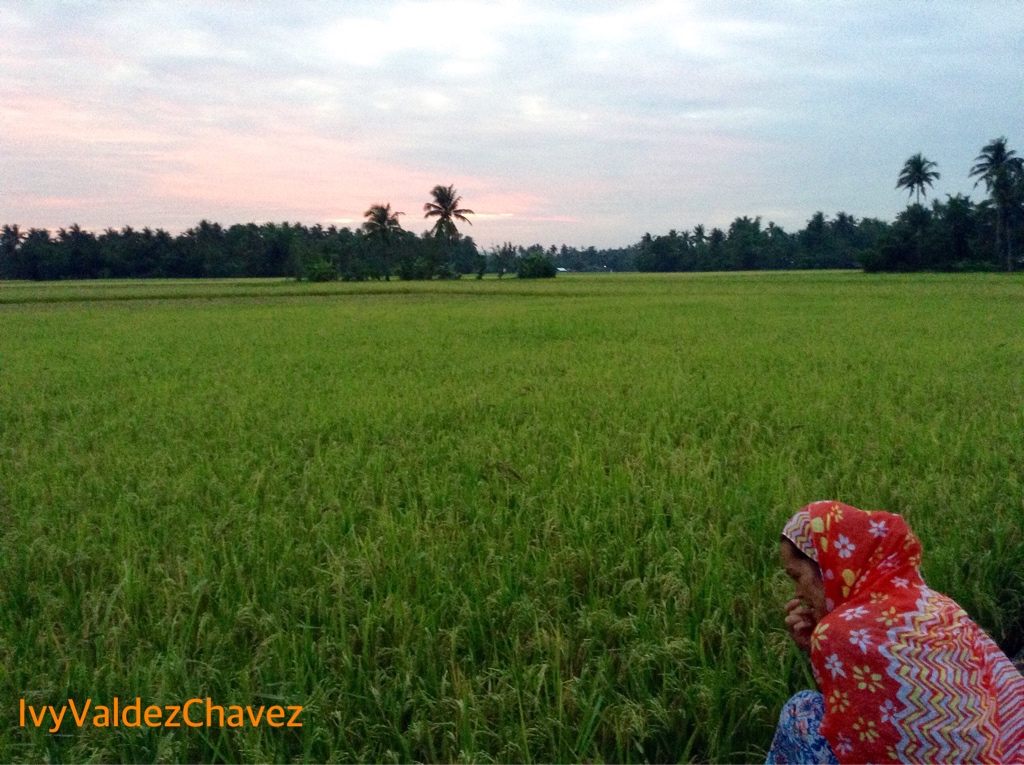
sa libis ng nayon #bikol
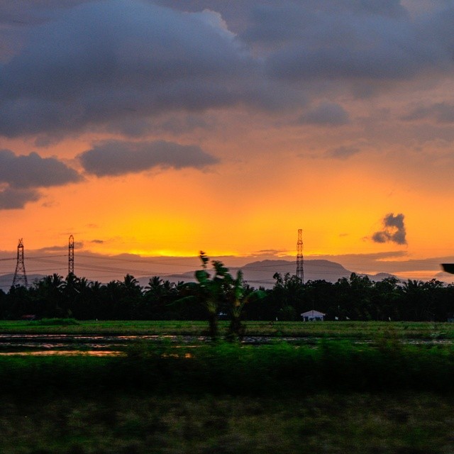
Sunset at the highway to Legazpi #philippinies #travel #the_ph #ilovephilippines #itsmorefuninthephilippines #travelph #bicol #legazpi #highway #panphilippinehighway #sunset #beautiful #sky #skyporn #roadtrip #carshot
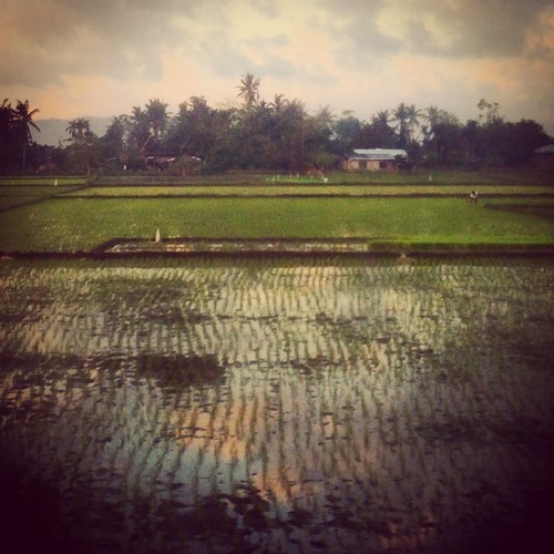
Rice Field
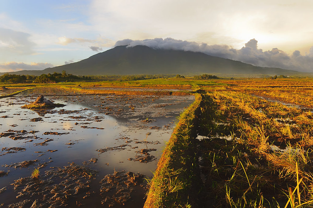
Mt. Isarog at sunset
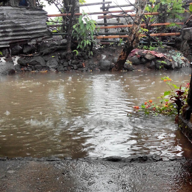
This Sucks #LuisPH #WaterWorldPolangui

Donsol to Laiya 11

Donsol to Laiya 09

Donsol to Laiya 08
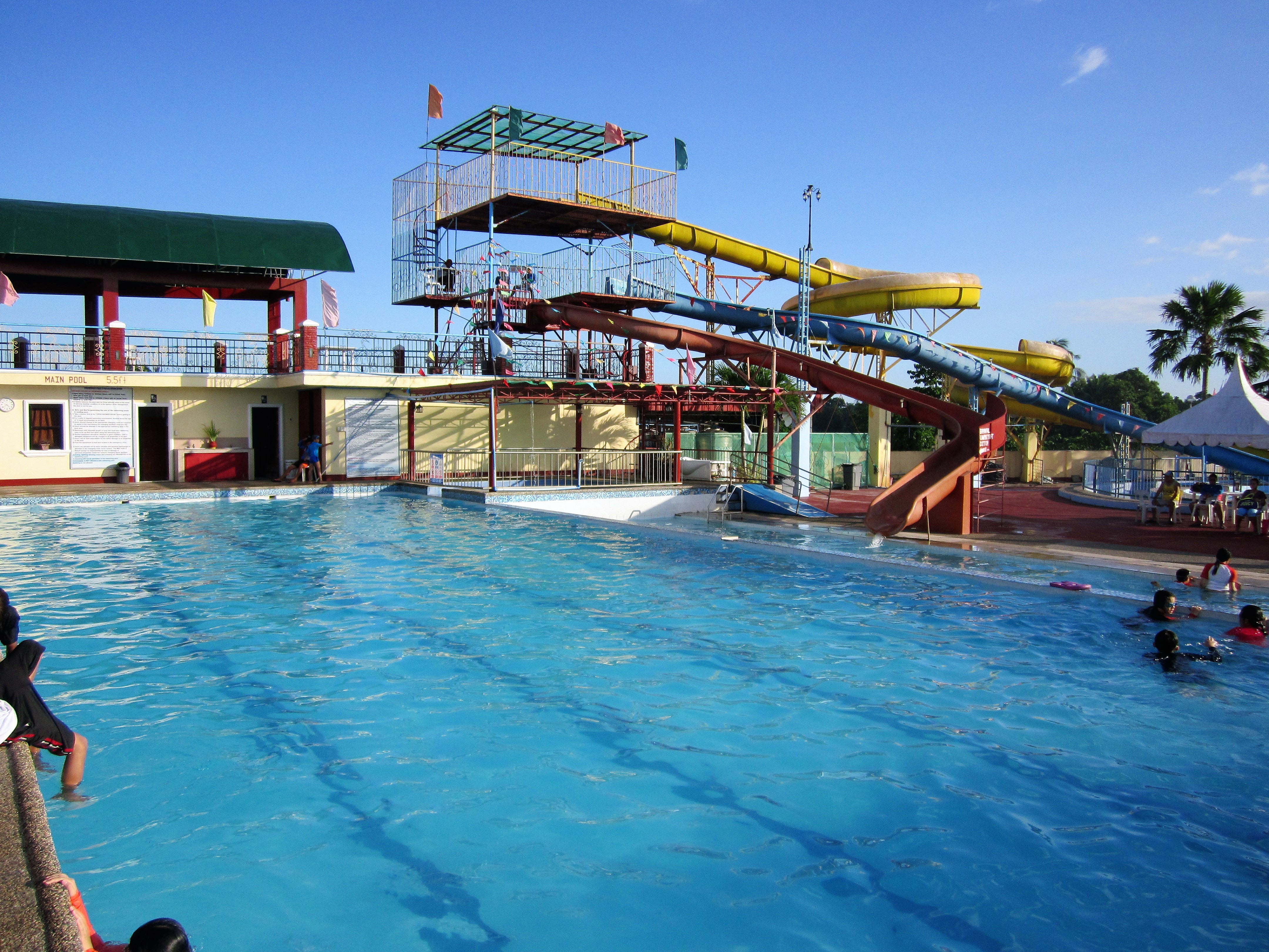
SWIMMING POOL

Donsol to Laiya 07
Topographic Map of City of Iriga, Camarines Sur, Philippines
Find elevation by address:

Places near City of Iriga, Camarines Sur, Philippines:
Bicol
Iriga City Hall
Santa Cruz Sur
Antipolo Young Elem. School
Antipolo Young
San Francisco (pob.)
San Miguel
San Isidro Poblacion Nabua
Nabua National High School
San Nicolas
San Vicente
San Esteban
Santiago Old
Santiago Old Barangay Hall
Magpanambo National High School
Masoli
San Roque (pob.)
San Vicente
San Antonio Ogbon Brgy Road
Nino Jesus
Recent Searches:
- Elevation of Corso Fratelli Cairoli, 35, Macerata MC, Italy
- Elevation of Tallevast Rd, Sarasota, FL, USA
- Elevation of 4th St E, Sonoma, CA, USA
- Elevation of Black Hollow Rd, Pennsdale, PA, USA
- Elevation of Oakland Ave, Williamsport, PA, USA
- Elevation of Pedrógão Grande, Portugal
- Elevation of Klee Dr, Martinsburg, WV, USA
- Elevation of Via Roma, Pieranica CR, Italy
- Elevation of Tavkvetili Mountain, Georgia
- Elevation of Hartfords Bluff Cir, Mt Pleasant, SC, USA