Elevation of Churna Island, Pakistan
Location: Pakistan >
Longitude: 66.6042494
Latitude: 24.8990061
Elevation: 57m / 187feet
Barometric Pressure: 101KPa
Elevation Map:
Satellite Map:
Related Photos:

Charna Island

View from the cliff
untitled [Explored]
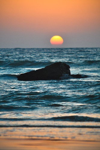
Sun cut

Nathia Gali Beach

Navy Base @ Nathia Gali Beach

Surf casting @ Mubarak Village

Nathia Gali Beach

Nathia Gali Beach

Nathia Gali Beach

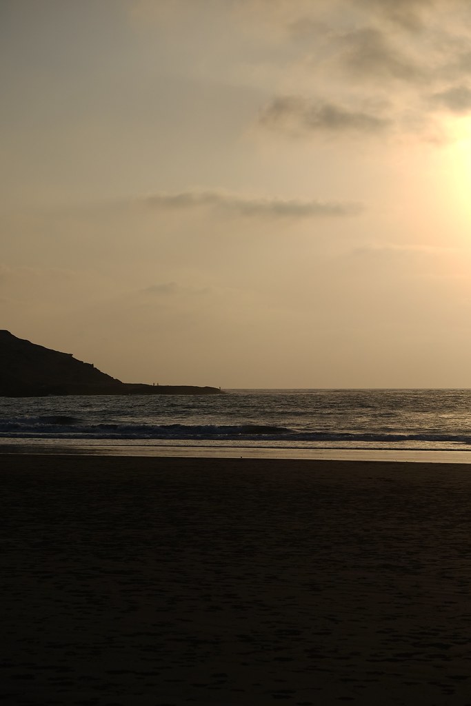
The Beach @ Nathai Gali
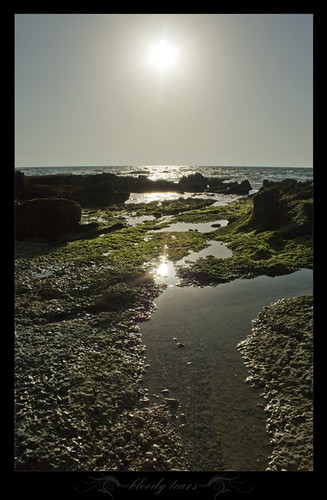
Bloody Tears

Bhit Khori beach

Mubarak Village

Mubarak Village

Mubarak Village Beach

One with the Beach

Bhit Khori beach

Charna Island

Trekking free

In Between

Rock Ledges

Khori village
Topographic Map of Churna Island, Pakistan
Find elevation by address:

Places in Churna Island, Pakistan:
Places near Churna Island, Pakistan:
Charna Island
Mubarak
Cape Mount
Nathia Gali Beach, Karachi
Paradise Beach
Keamari
Gaddani
Hawke's Bay Beach
Galadari Cement (gulf) Ltd
Shams Pir
Shamspir Island
Shams Pir Island
Pakistan Marine Academy
Karachi West
Gilani Market
Bhit Island
Bhitt Island
Shah Abdul Latif Station
Amour Textiles Pvt Ltd.
Sami Pharmaceuticals (pvt.) Ltd.
Recent Searches:
- Elevation of Corso Fratelli Cairoli, 35, Macerata MC, Italy
- Elevation of Tallevast Rd, Sarasota, FL, USA
- Elevation of 4th St E, Sonoma, CA, USA
- Elevation of Black Hollow Rd, Pennsdale, PA, USA
- Elevation of Oakland Ave, Williamsport, PA, USA
- Elevation of Pedrógão Grande, Portugal
- Elevation of Klee Dr, Martinsburg, WV, USA
- Elevation of Via Roma, Pieranica CR, Italy
- Elevation of Tavkvetili Mountain, Georgia
- Elevation of Hartfords Bluff Cir, Mt Pleasant, SC, USA