Elevation map of Churi Laq'a, Peru
Location: Peru > Moquegua > Mariscal Nieto Province >
Longitude: -70.354167
Latitude: -16.789722
Elevation: 5048m / 16562feet
Barometric Pressure: 54KPa
Elevation Map:
Satellite Map:
Related Photos:

07-17
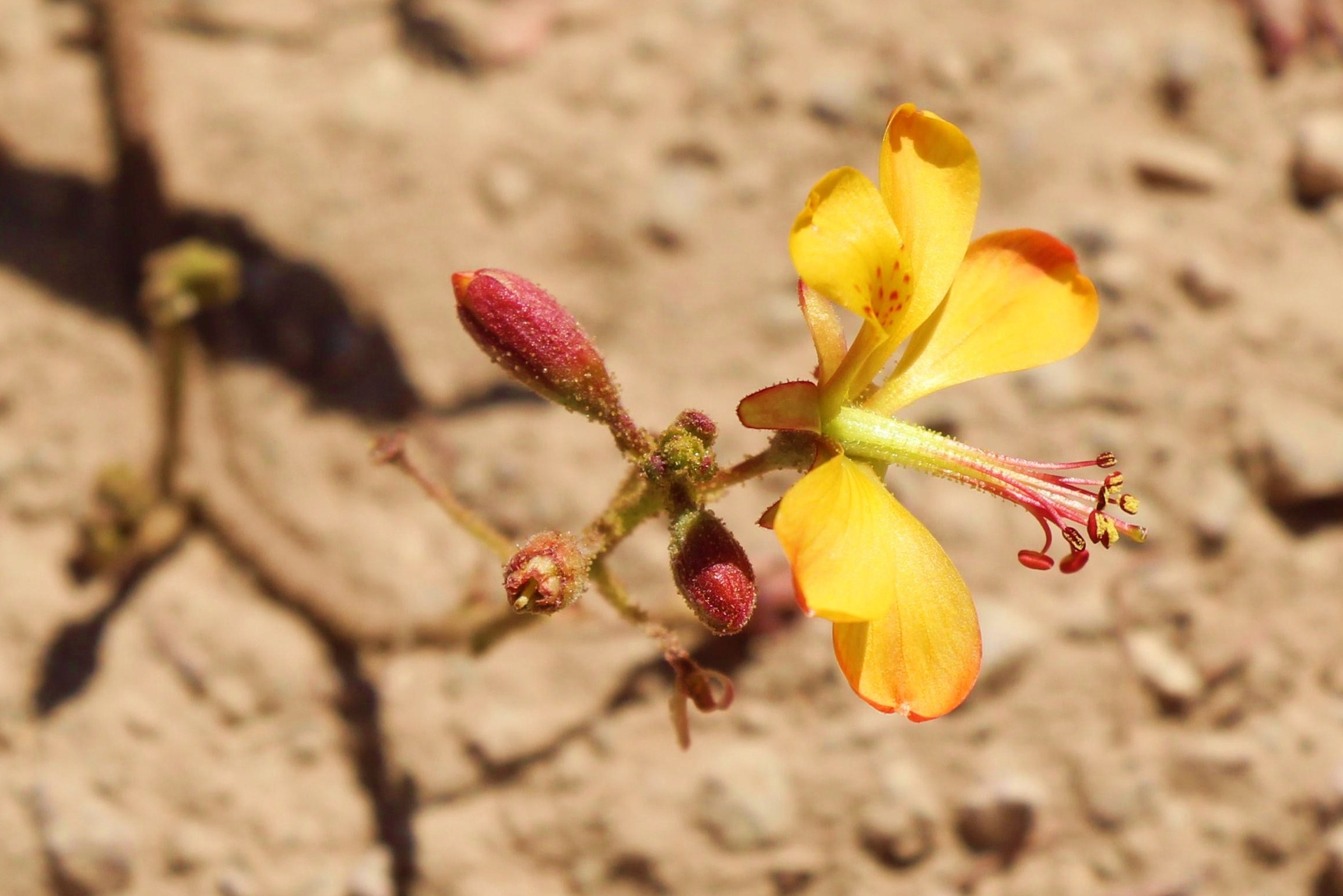
Blüte gelb bei den Imagenes Toquepala nd

07-16
Topographic Map of Churi Laq'a, Peru
Find elevation by address:

Places near Churi Laq'a, Peru:
Hospicio
Carr Binacional, Peru
General Sánchez Cerro Province
Ubinas District
Lake Salinas
Salinas And Aguada Blanca National Reservation
Lake Lagunillas
Misti
15a
Virgen De Chapi
Rivero 504
Arequipa
Arequipa
Hotel Costa Del Sol Arequipa
Plaza De Armas Arequipa
Arequipa
Hotel Majestad ***
Cusco
Vallecito
Peruvian Colca Trails
Recent Searches:
- Elevation of Corso Fratelli Cairoli, 35, Macerata MC, Italy
- Elevation of Tallevast Rd, Sarasota, FL, USA
- Elevation of 4th St E, Sonoma, CA, USA
- Elevation of Black Hollow Rd, Pennsdale, PA, USA
- Elevation of Oakland Ave, Williamsport, PA, USA
- Elevation of Pedrógão Grande, Portugal
- Elevation of Klee Dr, Martinsburg, WV, USA
- Elevation of Via Roma, Pieranica CR, Italy
- Elevation of Tavkvetili Mountain, Georgia
- Elevation of Hartfords Bluff Cir, Mt Pleasant, SC, USA