Elevation of Church Hill Rd, Portage, PA, USA

Location: United States > Pennsylvania > Cambria County > Wilmore >

Longitude: -78.714463

Latitude: 40.3912018

Elevation: 496m / 1627feet

Barometric Pressure: 96KPa

Elevation Map:

elevation map of Church Hill Rd, Portage, PA, USA

Satellite Map:

Satellite map of Church Hill Rd, Portage, PA, USA
Related Photos:

usa newyork cuba
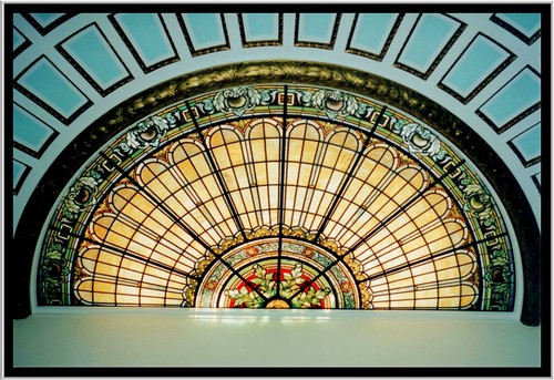
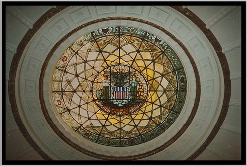
Ebensberg PA ~ Cambria Courthouse PA ~ Dome
county usa house building art glass stain architecture court pennsylvania seat murals style places tourist historic pa dome empire second government courthouse register deco domes cambria registry attraction preservation nrhp onasill ebensberg
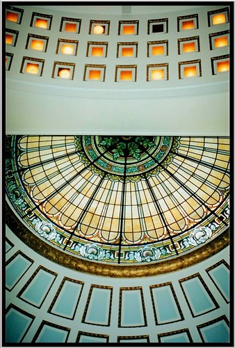
Ebensberg PA ~ Cambria Courthouse PA ~ Dome
county house building art glass stain architecture court pennsylvania seat murals style places tourist historic pa dome empire second government courthouse register deco domes cambria registry attraction preservation nrhp onasill ebensberg
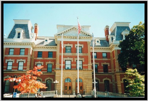
Ebensberg PA ~ Cambria Courthouse PA
county house building art glass stain architecture court pennsylvania seat murals style places tourist historic pa dome empire second government courthouse register deco domes cambria registry attraction preservation nrhp onasill ebensberg
Ebensberg PA ~ Cambria Courthouse PA ~ Dome
county house building art glass stain architecture court pennsylvania seat murals style places tourist historic pa dome empire second government courthouse register deco domes cambria registry attraction preservation nrhp onasill ebensberg
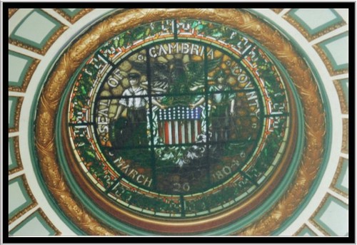
Ebensberg PA ~ Cambria Courthouse PA ~ Stain Glass Dome
old travel house film vintage court justice mural historic pa historical courthouse register cambriacounty nrhp onasill ebensberg
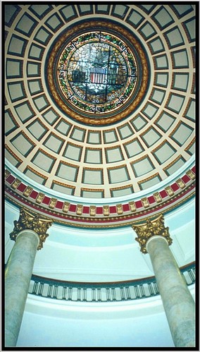
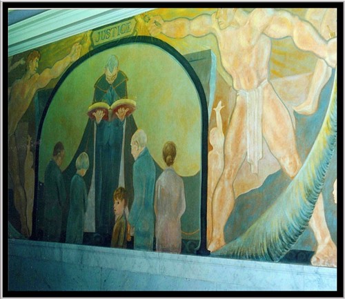
Ebensberg PA ~ Cambria Courthouse PA ~ Mural ~Justice
county house building art glass stain architecture court pennsylvania seat murals style places tourist historic pa dome empire second government courthouse register deco domes cambria registry attraction preservation nrhp onasill ebensberg
Ebensberg PA ~ Cambria Courthouse PA ~ Stain Glass Dome
county house building art glass stain architecture court pennsylvania seat murals style places tourist historic pa dome empire second government courthouse register deco domes cambria registry attraction preservation nrhp onasill ebensberg
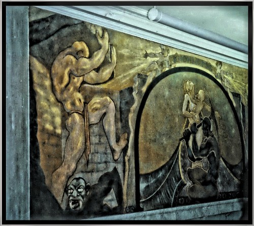
Ebensberg PA ~ Cambria Courthouse PA ~ Mural
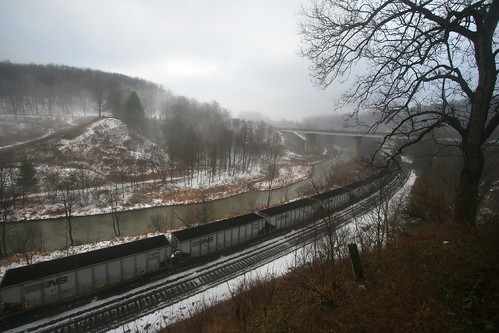
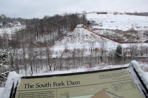
travel trees snow nature water fog train river pennsylvania tracks southfork johnstownflood southforkdam
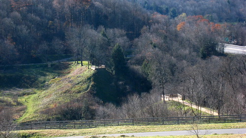
The view from the remnants of the South Fork Dam
county blue nature butterfly photography photo pentax pennsylvania butterflies pa eastern cambria tailed summerhill easterntailedblue everescomyntas mineralpoint k10d
Eastern Tailed-Blue Butterfly
county blue nature butterfly photography photo pentax pennsylvania butterflies pa eastern cambria tailed summerhill easterntailedblue mineralpoint k10d
Eastern Tailed-Blue Butterfly
NS 6329 at Gallitzin, PA
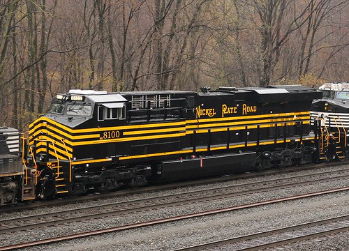
road plant heritage yard canon ian shot pennsylvania conway ns norfolk sigma southern program cassandra ge 1770 8100 nickle unit roster nkp es44ac 60d hapsias
Roster Shot: NS [NKP] 8100
Feeling Much Better Now
nps pennsylvania nationalmemorial johnstownflood
Johnstown Flood National Memorial
NS Eastbound @ Portage, PA
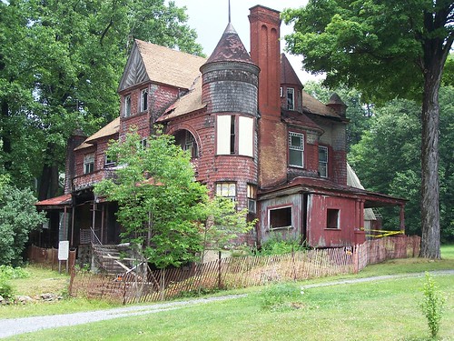
building condemned pennsylvania braemar cresson braemarcottage
Braemar Cottage, south view
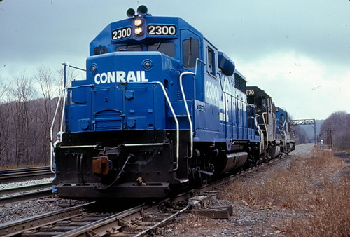
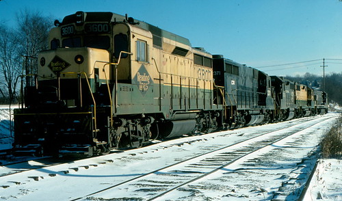
Conrail's Mixed Bag of Treats
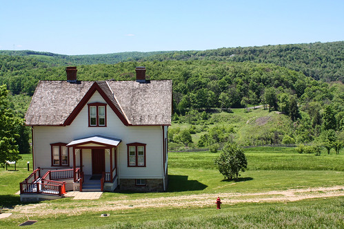
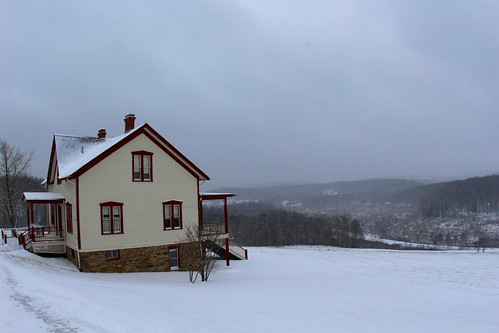
house snow unger johnstownflood
The Unger House
Dear Winter: Bring It On!
snow dam southfork johnstownflood
View of The South Fork Dam
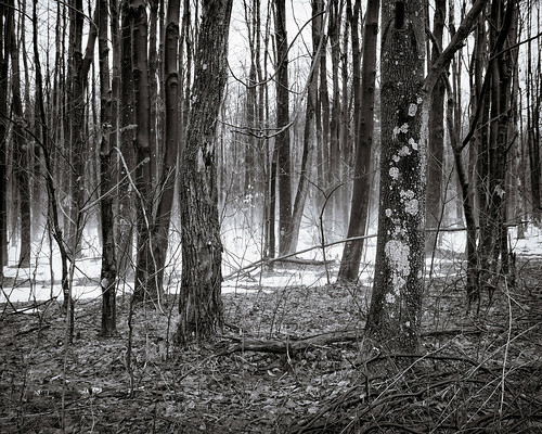
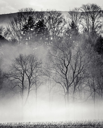
trees plants snow fog unitedstates pennsylvania air fungus lichen mineralpoint panasoniclumix20mmf17asphii
The snow, as it dies, gives birth to the fog
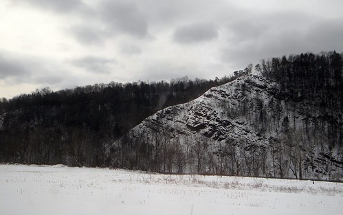
winter mountains pennsylvania amtrakviews
Pennsylvania: The Little Conemaugh River Valley in the Winter
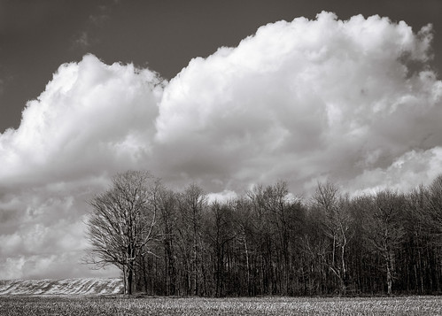
trees plants field clouds unitedstates pennsylvania agriculture summerhill smcpfa50mmf14
One Shot #35 | Field
Blue Knob State Park PA - 2015-01-28 (7)
trees plants field fog unitedstates pennsylvania air hill agriculture summerhill tamronaf70300mmf456lddimacro
Across the field
blueknobstatepark pennsylvaniastateparks imler pennsylvania unitedstates
Blue Knob State Park
water cloudy
Hinckston Run Reservoir
trees plants field fog unitedstates pennsylvania air agriculture sidman smcpfa50mmf14
June fog
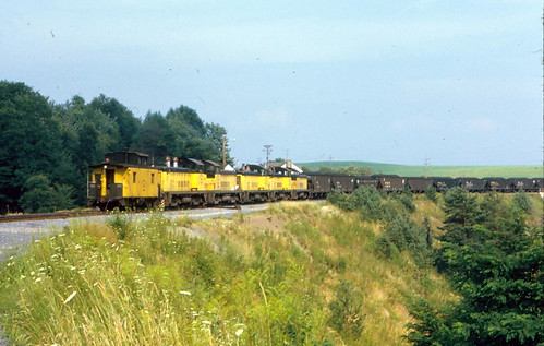
How coal was moved...40 years ago!
trees plants windmill buildings unitedstates pennsylvania transportation roads portage windturbine groundtransportation tamronaf70300mmf456lddimacro agriculturalbuildings
Wind turbine
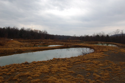
geotagged pond mine pennsylvania coal drainage geo:lat=40255769 geo:lon=78735075
DSC_7775.JPG
blueknobstatepark pennsylvaniastateparks imler pennsylvania unitedstates
Blue Knob State Park
water rock moss blueknobstatepark nikond7000
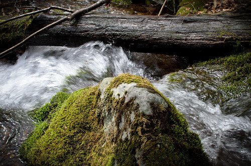
moss rock water
ns rear pa 10g cassandra overlook railfan 6304 6321 6312 6302 101213 sd40e
NS 6321 Cassandra PA Railfan Overlook 10G Helpers 10/12/13
night pennsylvania trains signals railroads cresson trainphotos railroadphotos
Night on the Middle Division
usa pennsylvania southfork johnstownflood johnstownfloodnationalmemorial lakeconemaugh littleconemaughriver southforkcreek
South Fork Dam
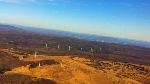
Windfarm over PA
emd
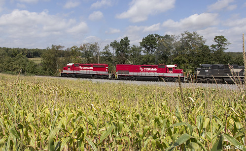
RJC3 Northbound Grain
railroad pa cambriacountypa staplebendtunnel mineralpointpa
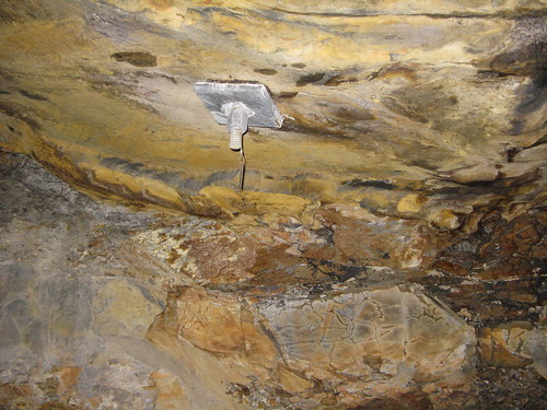
Inner Supports of the Staple Bend Tunnel
unitedstates pennsylvania southfork canonef24105mmf4lis fishertown johnstownfloodnationalmemorial johnstownfloodmemorial johstownflood
Remains of the South Fork Dam
trip rain pennsylvania buffs 2012 altoona
Buff Spot at Lilly