Elevation of Christie Lake, Tay Valley, ON K0H, Canada

Location: Canada > Ontario > Lanark County > Perth >

Longitude: -76.440521

Latitude: 44.807454

Elevation: 157m / 515feet

Barometric Pressure: 99KPa

Elevation Map:

elevation map of Christie Lake, Tay Valley, ON K0H, Canada

Satellite Map:

Satellite map of Christie Lake, Tay Valley, ON K0H, Canada

Related Photos:

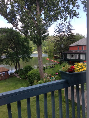
View from The Cove, Westport
View along Highway 7
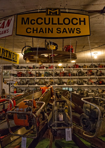
sue wheelers chainsaws mcdonaldscorners suebirthday chainsawmuseum
The McCulloch Massacre
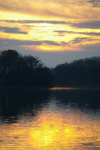
sunset ontario silverlake eastern lanarkcounty mississippivalley mvca
Farewell to Silver Lake
ontario westport foleymountain
“Far away there in the sunshine are my highest aspirations. I may not reach them but I can look up and see their beauty, believe in them and try to follow them.” Louisa May Alcott
westport mills gristmill ontariomills historicmills watermills oldmills upperrideaulake leedsandgrenville leedsandgrenvillecounty ontariohistoricmills gristmillartistretreat westportgristmill westportmillpond
Westport Grist Mill rear view.jpg
ontario canada fall colors leaves forest westport forestconservation august2008 foleymountianconservationarea
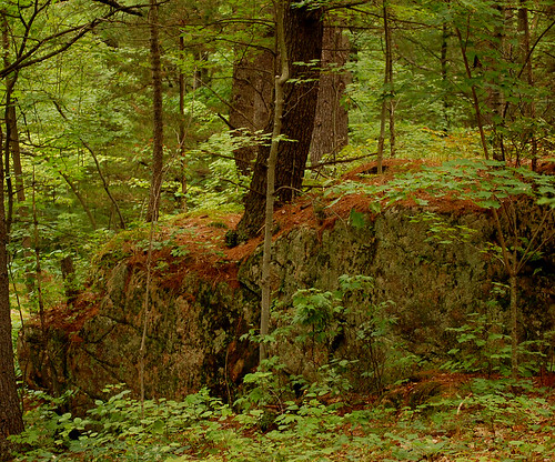
Pine Needle Ridge, Foley Mountian Conservation Area
ontario canada fire firetruck mccord maberly ianmccord ianamccord
South Sherbrooke Fire Department Unit 109 1996 Ford E-450 Demers Ambulance light rescue rear view Maberly, Ontario Canada 07092009 ©Ian A. McCord
sue wheelers mcdonaldscorners suebirthday
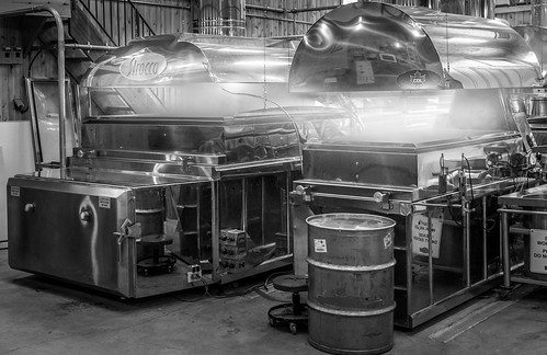
On The Boil
ontario canada westport 000islands trilliummiataclub kingstontour2014
TMC 2014 Kingston Tour
lake forest
The view from the Silver Lake scenic point; Silver Lake, Ontario
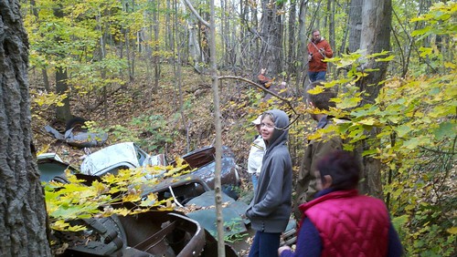
trees cars forest rust mine pit mica farrenlake
Explorers and general view
lake tree
The view from the Silver Lake scenic point; Silver Lake, Ontario
silverlake goldenhour easternontario canadianshield
Golden on Silver
Alternate View
sunset lake cottage hss bobslake sliderssunday
Sunset at Bob's Lake
ontario canada silverlake provincialpark cans2s ontarioprovincialparks
Silver Lake Provincial Park, ON
mcdonaldscorners ontario canada ca wheelers maplesyrup sugarbush
The Sugar Bush Awakens
sunset silverlake easternontario lanarkcounty mvca mississipivalley
7:50
4ndr3w
The Lot - November 27
ontario westport rideaucanal
a quiet bay at Westport
ontario westport rideaucanal
More Westport
silverlake easternontario lanarkcounty
Silver Lake
lot 4ndr3w
The Lot - November 27
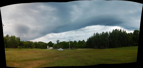
sky autostitch panorama ontario canada storm field weather clouds rural landscape nikon outdoor pano pasture lanarkcounty
Storm front panorama : Autostitch
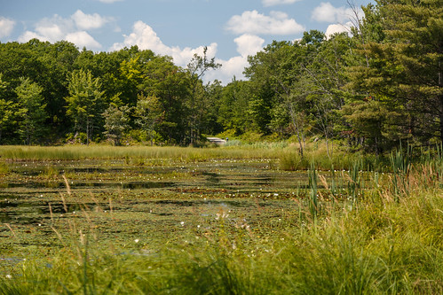
forest swamp
Central Frontenac
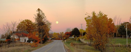
road autumn panorama moon ontario canada fall nature rural nikon october highway fallcolors fullmoon fallcolours althorpe lanarkcounty landscapesofvillagesandfields althorperoad
Full moon over Althorpe Road, Lanark County
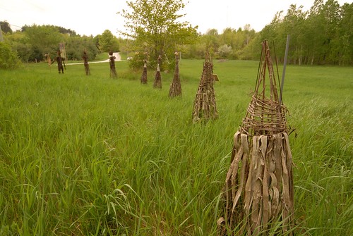
sculpture ontario canada art nikon brooke installation fieldwork lanarkcounty jenniferryderjones
Art installation : Fieldwork
lot 4ndr3w
The Lot - November 27
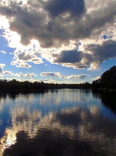
water clouds river olympus gamewinner thechallengefactory fotocompetition fotocompetitionbronze pregamewinner olympustg820 taycampground
Up River
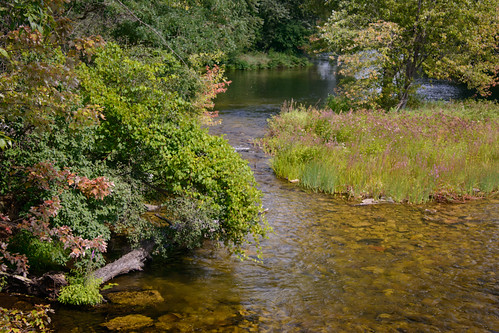
geocity exif:iso_speed=800 exif:focal_length=65mm camera:make=nikoncorporation exif:make=nikoncorporation geostate geocountrys exif:aperture=ƒ10 exif:lens=2803000mmf3556 exif:model=nikond800 camera:model=nikond800 geo:lon=7630373222192 geo:lat=4487646833248
Tay River
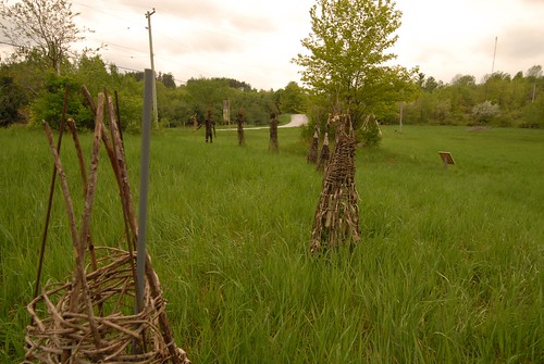
sculpture ontario canada art nikon brooke installation fieldwork lanarkcounty jenniferryderjones
Art installation : Fieldwork