Elevation map of Choluteca Department, Honduras
Location: Honduras >
Longitude: -87.142289
Latitude: 13.2504325
Elevation: 269m / 883feet
Barometric Pressure: 98KPa
Elevation Map:
Satellite Map:
Related Photos:

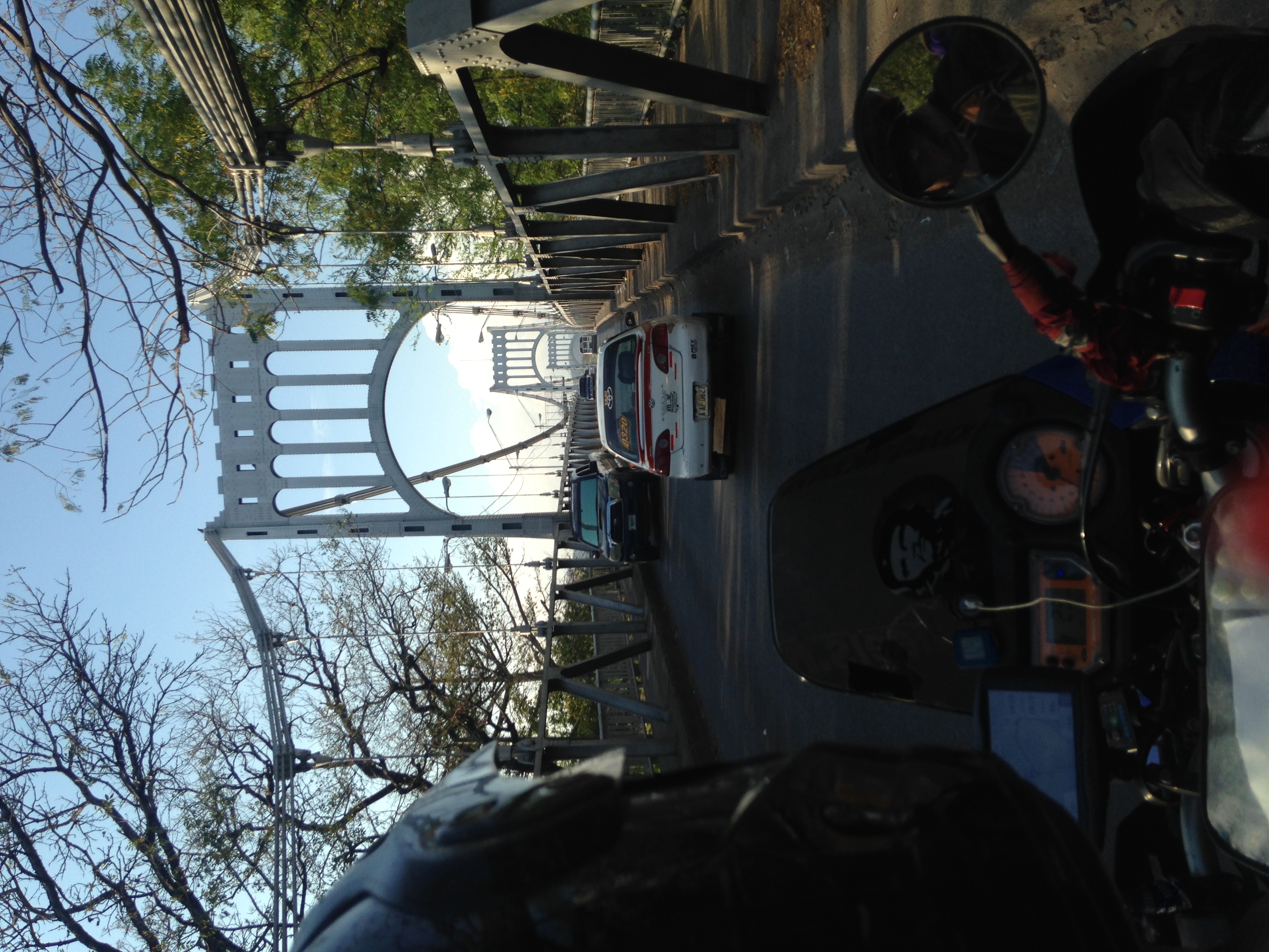
View of Cattle From Minivan, Highway CA-3 Near Namisque, Honduras
View from Talapia Farm

View from Talapia Farm

Beautiful View

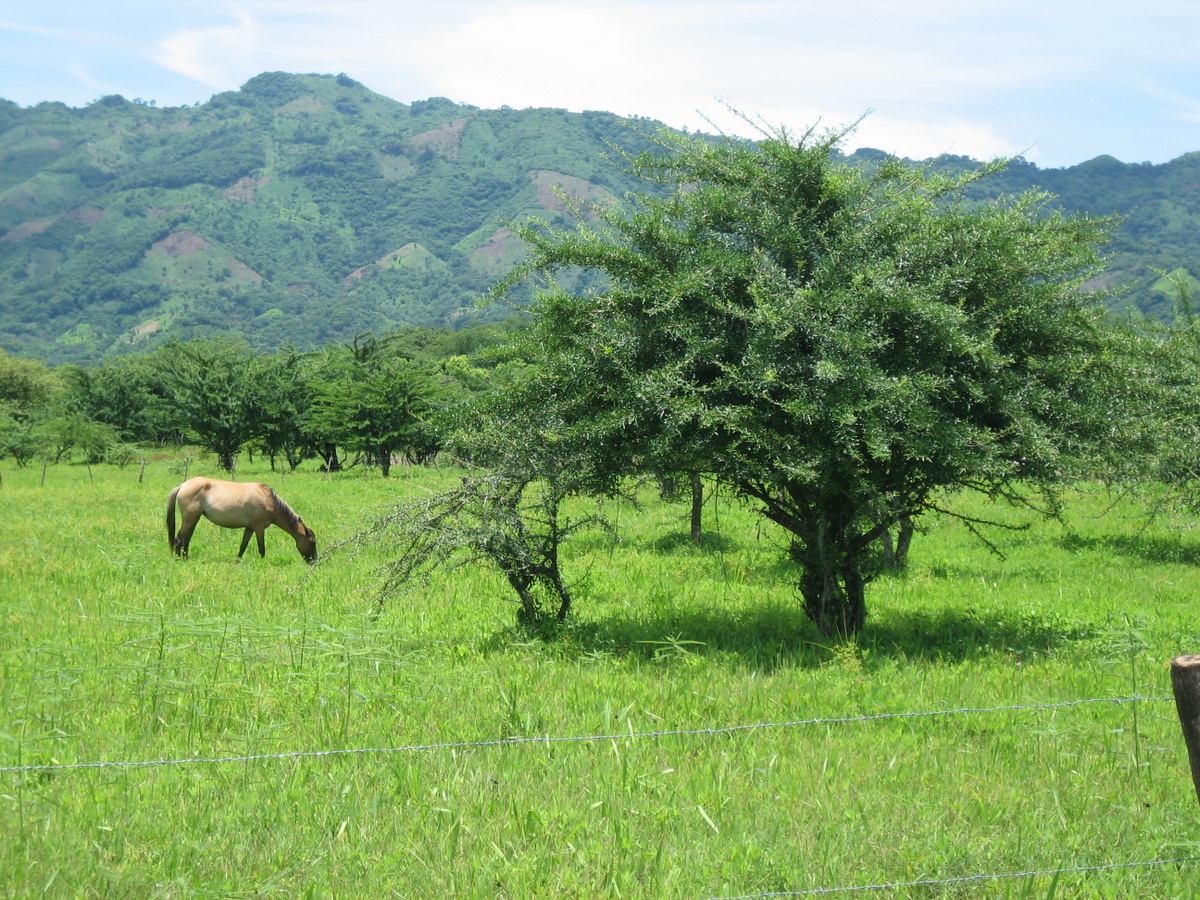
View of Huge Artistic Tree From Minivan, Highway CA-3 Near Namisque, Honduras

Choluteca, Honduras

20181230_080721(0)

Melhor revista não lançada pela #DragãoBrasil #Netflix #StrangerThings #RPG #Demogorgon #3DeT #DeD #eleven #onze
!2016-03-07 16-38-58-as-iPhone.JPG

Mi campeón de natación

4to Lugar en Choluteca

Torneo de Natación

Llegamos a Choluteca
Topographic Map of Choluteca Department, Honduras
Find elevation by address:

Places in Choluteca Department, Honduras:
Places near Choluteca Department, Honduras:
Matapalo
Chinandega
Las Mesas
Volcan San Cristobal-casita Natural Reserve
Somoto
Madriz
Ocotal
Dipilto
Estelí Department
El Barro
San Isidro
Sébaco
Chaguitillo
Jinotega
Cacao
Matagalpa
La Laguna
Recent Searches:
- Elevation of Corso Fratelli Cairoli, 35, Macerata MC, Italy
- Elevation of Tallevast Rd, Sarasota, FL, USA
- Elevation of 4th St E, Sonoma, CA, USA
- Elevation of Black Hollow Rd, Pennsdale, PA, USA
- Elevation of Oakland Ave, Williamsport, PA, USA
- Elevation of Pedrógão Grande, Portugal
- Elevation of Klee Dr, Martinsburg, WV, USA
- Elevation of Via Roma, Pieranica CR, Italy
- Elevation of Tavkvetili Mountain, Georgia
- Elevation of Hartfords Bluff Cir, Mt Pleasant, SC, USA