Elevation of Chlef, Algeria
Location: Algeria >
Longitude: 1.3256957
Latitude: 36.1548171
Elevation: 108m / 354feet
Barometric Pressure: 100KPa
Elevation Map:
Satellite Map:
Related Photos:
2014-06-01 15.46.14
#Algerie
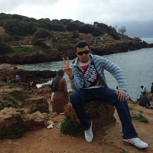
At the beach of UNESCO

I just got a brand new 4Gb graphic card ????
#summer #beach #instagood #kiwan

chlef mosque

#drive #oscar #mahindra #siamois #angora #instagood #happy #Diaz
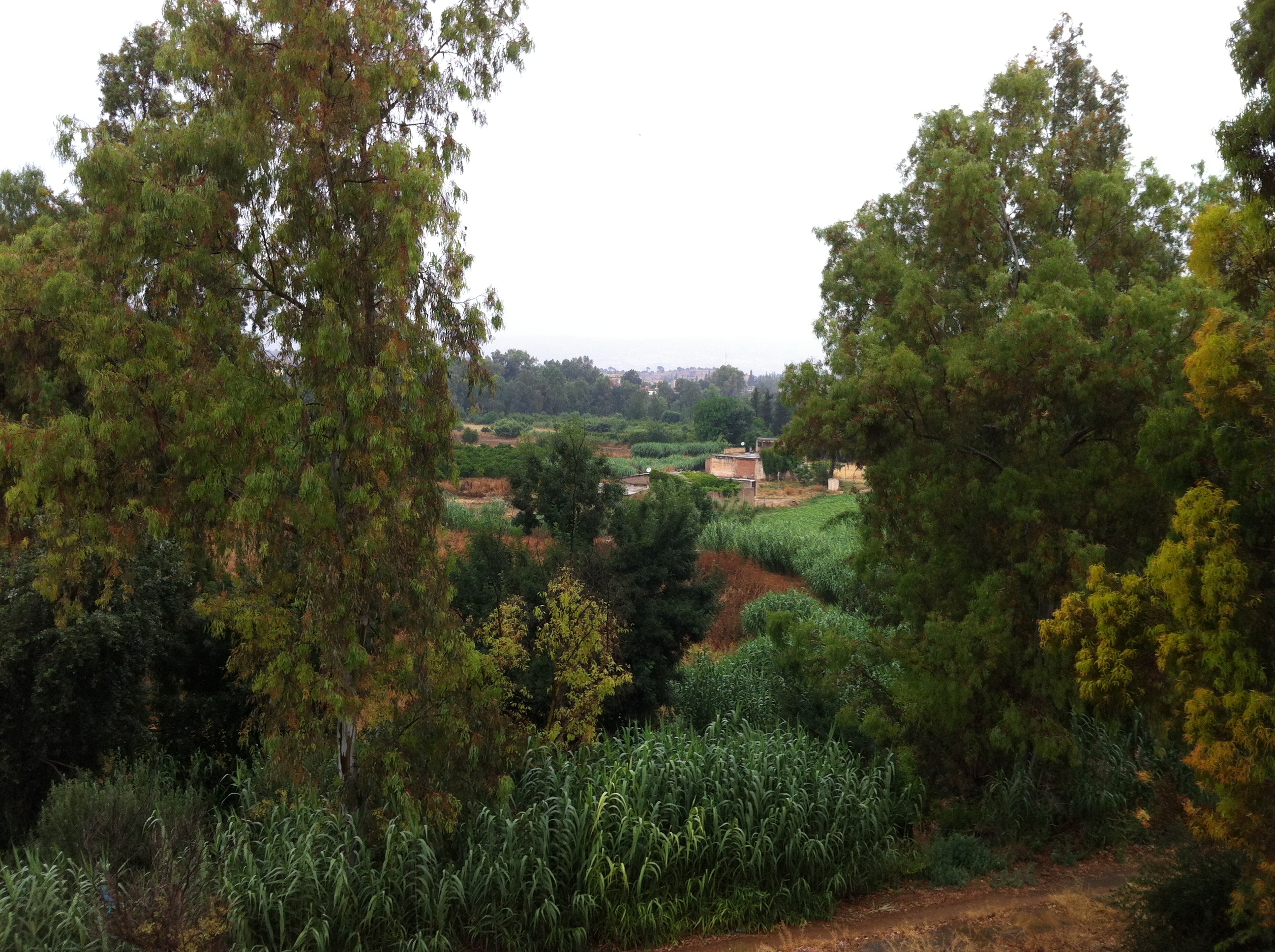
2014-06-01 14.44.30
2014-06-01 15.26.20

2014-06-01 16.08.07

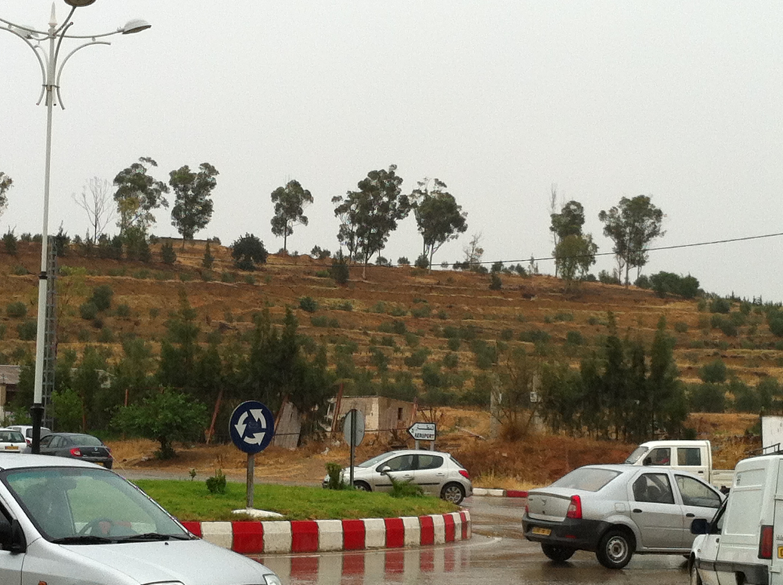
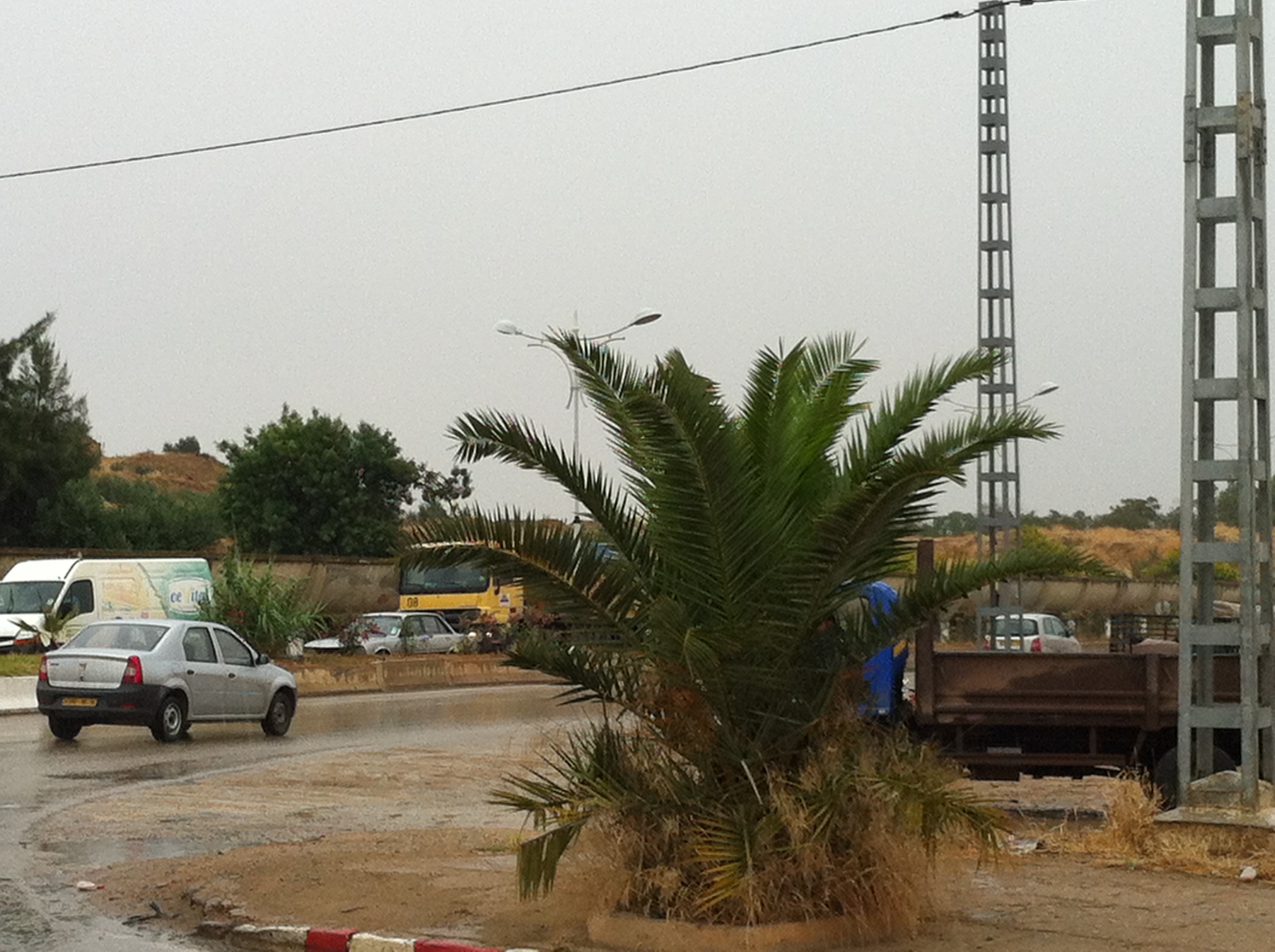
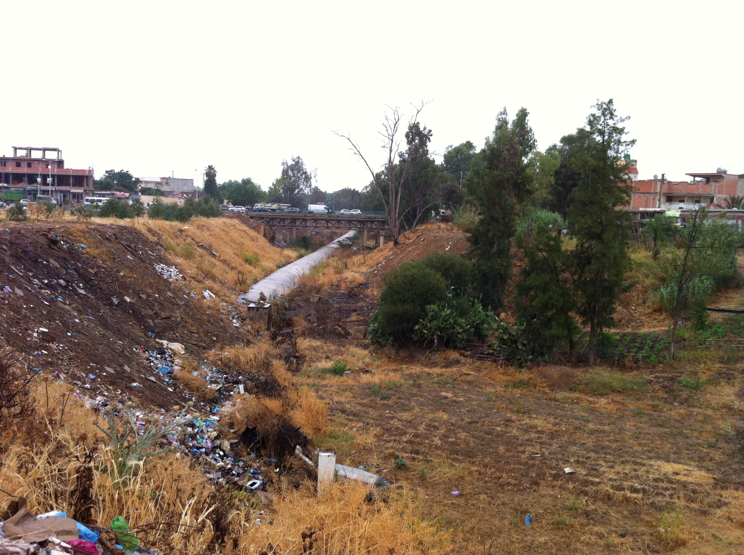
On the road of Medjadja .
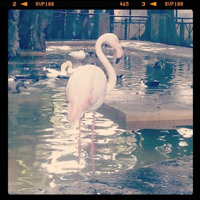
The flamingo bird in the test garden, captured by me
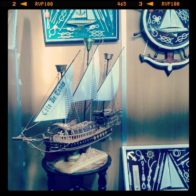
Nice ship at the exhibition
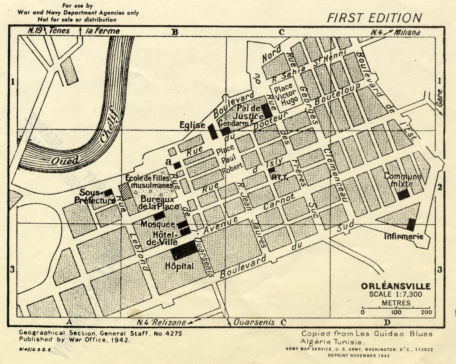
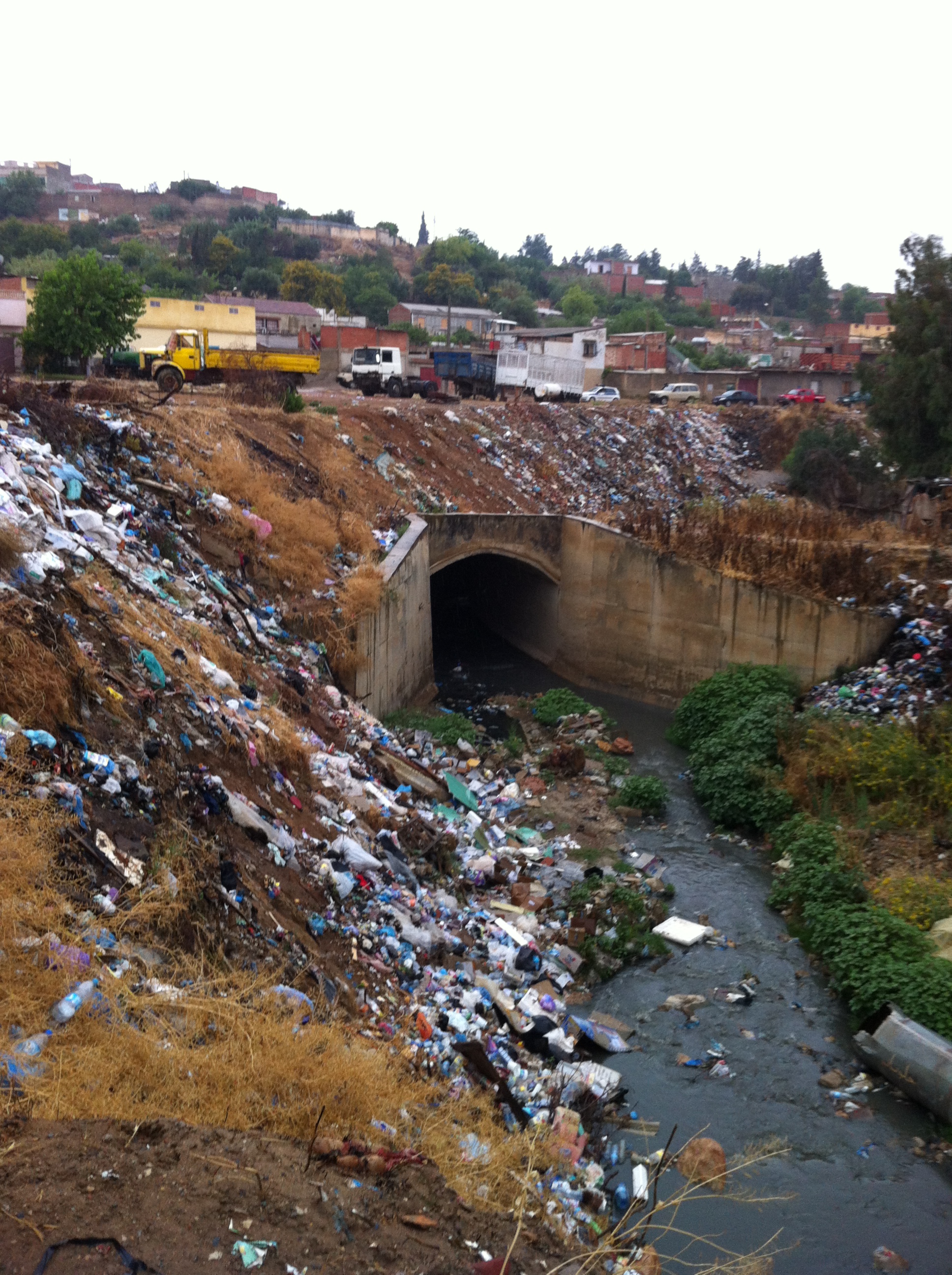
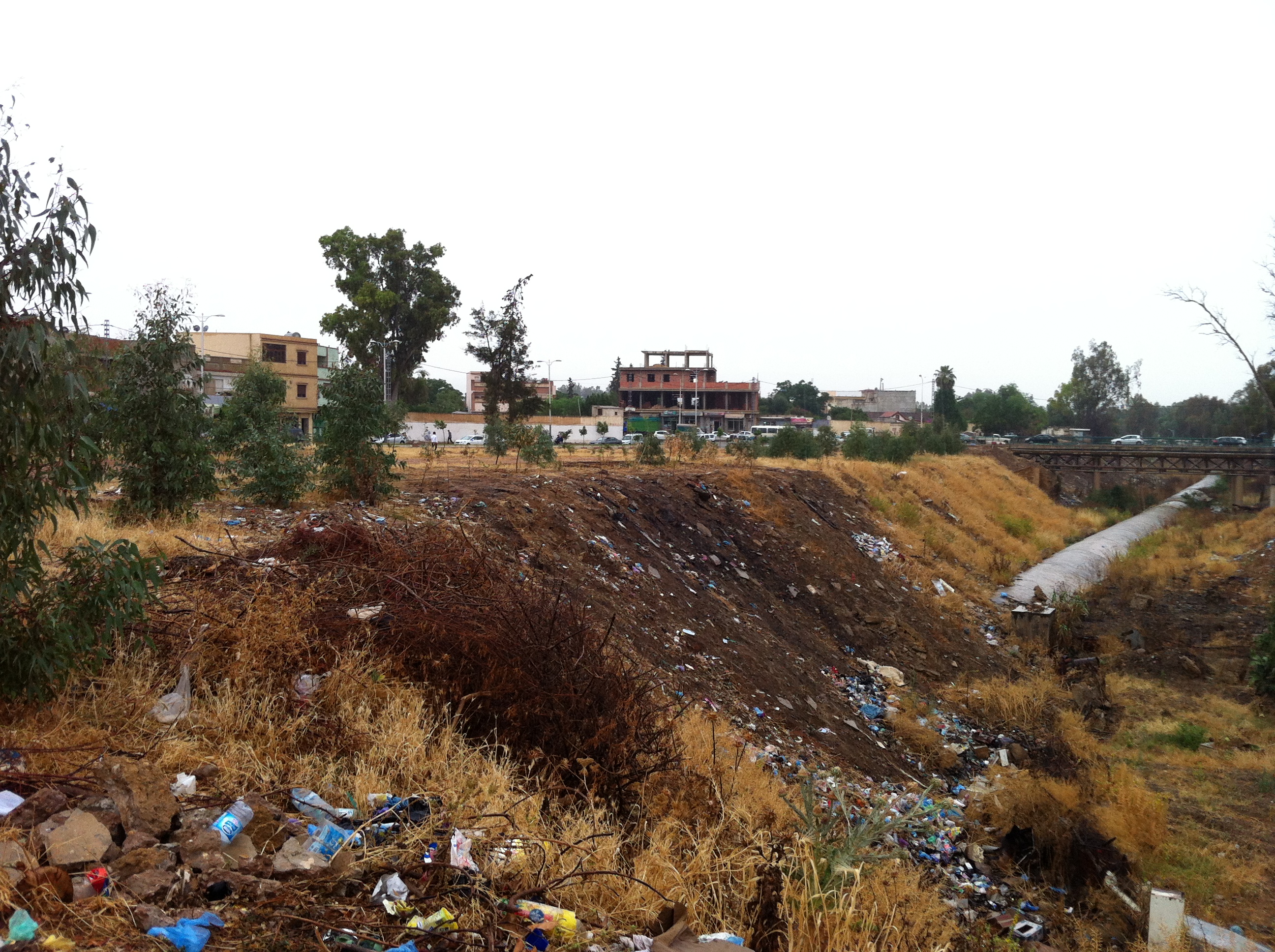
Orléansville (Algeria)

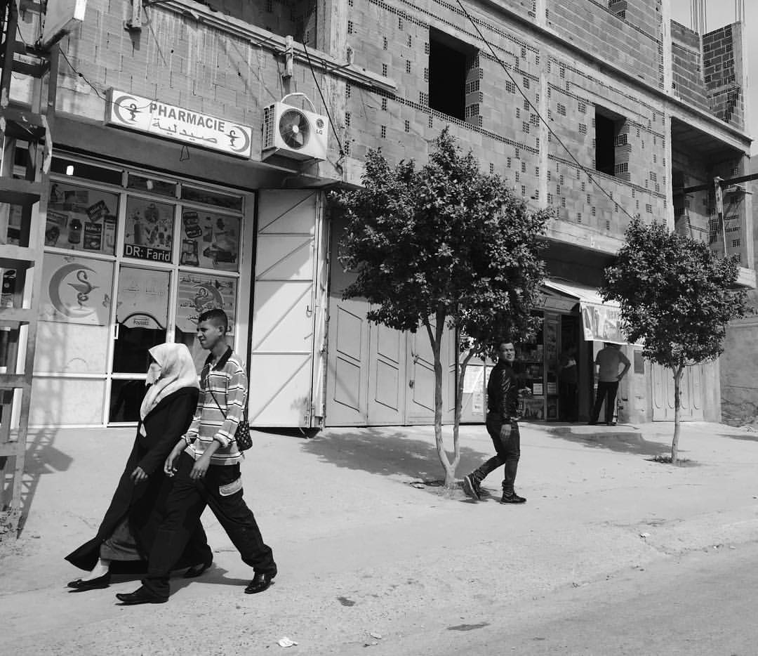
At this morning
2014-06-01 14.44.31
2014-06-01 14.44.38
2014-06-01 14.51.28
2014-06-01 15.09.01
2014-06-01 15.26.12
2014-06-01 15.26.14
Topographic Map of Chlef, Algeria
Find elevation by address:

Places near Chlef, Algeria:
Recent Searches:
- Elevation of Corso Fratelli Cairoli, 35, Macerata MC, Italy
- Elevation of Tallevast Rd, Sarasota, FL, USA
- Elevation of 4th St E, Sonoma, CA, USA
- Elevation of Black Hollow Rd, Pennsdale, PA, USA
- Elevation of Oakland Ave, Williamsport, PA, USA
- Elevation of Pedrógão Grande, Portugal
- Elevation of Klee Dr, Martinsburg, WV, USA
- Elevation of Via Roma, Pieranica CR, Italy
- Elevation of Tavkvetili Mountain, Georgia
- Elevation of Hartfords Bluff Cir, Mt Pleasant, SC, USA