Elevation of Chita, Bolivia
Location: Bolivia > Potosi Department > Antonio Quijarro >
Longitude: -66.922400
Latitude: -20.11274
Elevation: 3756m / 12323feet
Barometric Pressure: 64KPa
Elevation Map:
Satellite Map:
Related Photos:

S9051295.jpg

Salar de Uyuni

red sky at night

Alapaca fur, Uyuni
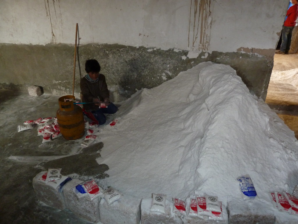
Salt factory, Uyuni
Topographic Map of Chita, Bolivia
Find elevation by address:

Places near Chita, Bolivia:
Hotel De Sal Luna Salada
Colchani
Hotel Palacio De Sal
Es San Cristobal Srl
Hotel Boutique Atipax
Sucre
Uyuni
Hostal La Magia De Uyuni
Hotel Julia
Salar De Uyuni
Hotel De Sal Casa Andina
Salt Flats
Salar De Uyuni
Antonio Quijarro
Potosi Department
Uyuni Salt Flat
Tolapampa
Taratara
Colcha "k"
Recent Searches:
- Elevation of Corso Fratelli Cairoli, 35, Macerata MC, Italy
- Elevation of Tallevast Rd, Sarasota, FL, USA
- Elevation of 4th St E, Sonoma, CA, USA
- Elevation of Black Hollow Rd, Pennsdale, PA, USA
- Elevation of Oakland Ave, Williamsport, PA, USA
- Elevation of Pedrógão Grande, Portugal
- Elevation of Klee Dr, Martinsburg, WV, USA
- Elevation of Via Roma, Pieranica CR, Italy
- Elevation of Tavkvetili Mountain, Georgia
- Elevation of Hartfords Bluff Cir, Mt Pleasant, SC, USA