Elevation of CHIS 45, Chiapas, Mexico
Location: Mexico > Chiapas > Villaflores >
Longitude: -93.613434
Latitude: 16.3766035
Elevation: 963m / 3159feet
Barometric Pressure: 90KPa
Elevation Map:
Satellite Map:
Related Photos:
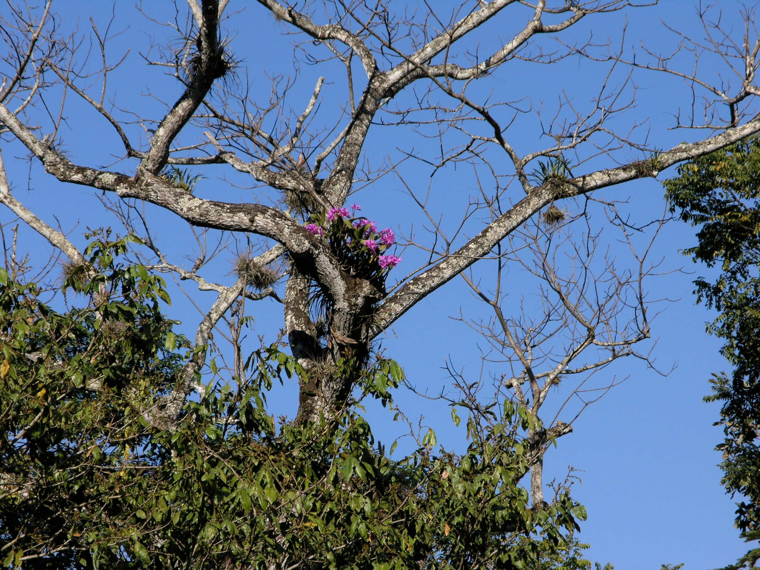
Orchids in trees - Orquídeas en las ramas; Chiapas, Mexico
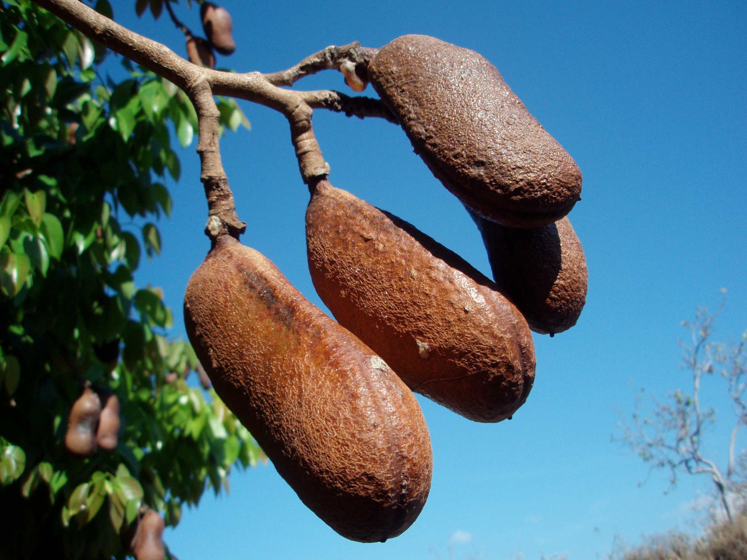
Guapinol Seedpod (Hymenaea courbaril); SW Chiapas, Mexico
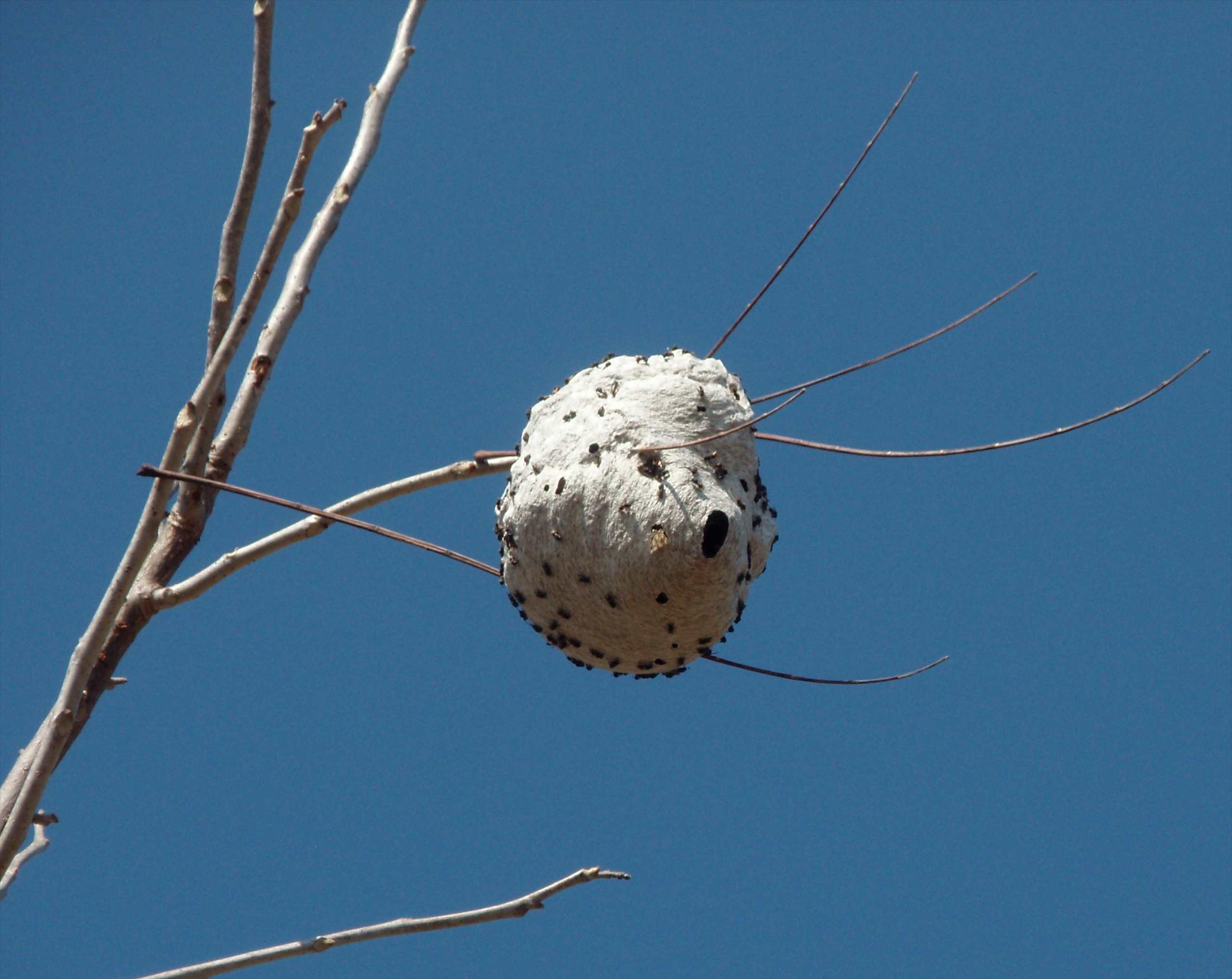
Wasp's nest - Avispal; cerca de Agronomos Mexicanos, SW Chiapas, Mexico
Topographic Map of CHIS 45, Chiapas, Mexico
Find elevation by address:

Places near CHIS 45, Chiapas, Mexico:
Segunda Avenida Nte. Ote., Tenochtitlán, Chis., Mexico
Tenochtitlán
Arriaga
Arriaga
Centro
Central Norte 4, Centro, Hollywood, Arriaga, Chis., Mexico
Hollywood
Villaflores
Villa Corzo
Ocozocoautla De Espinosa
Villa Hidalgo
Central 14, Villa Hidalgo, Chis., Mexico
Berriozábal
Primera Avenida Nte. Pte., El Parral, El Parral, Chis., Mexico
El Parral
El Parral
Chiapas
Ángel Albino Corzo International Airport
Tuxtla Gutiérrez
El Paraíso
Recent Searches:
- Elevation of Corso Fratelli Cairoli, 35, Macerata MC, Italy
- Elevation of Tallevast Rd, Sarasota, FL, USA
- Elevation of 4th St E, Sonoma, CA, USA
- Elevation of Black Hollow Rd, Pennsdale, PA, USA
- Elevation of Oakland Ave, Williamsport, PA, USA
- Elevation of Pedrógão Grande, Portugal
- Elevation of Klee Dr, Martinsburg, WV, USA
- Elevation of Via Roma, Pieranica CR, Italy
- Elevation of Tavkvetili Mountain, Georgia
- Elevation of Hartfords Bluff Cir, Mt Pleasant, SC, USA