Elevation of Chirivel, Almería, Spain
Location: Spain > Andalusia > Almería >
Longitude: -2.2663729
Latitude: 37.596561
Elevation: 1044m / 3425feet
Barometric Pressure: 89KPa
Elevation Map:
Satellite Map:
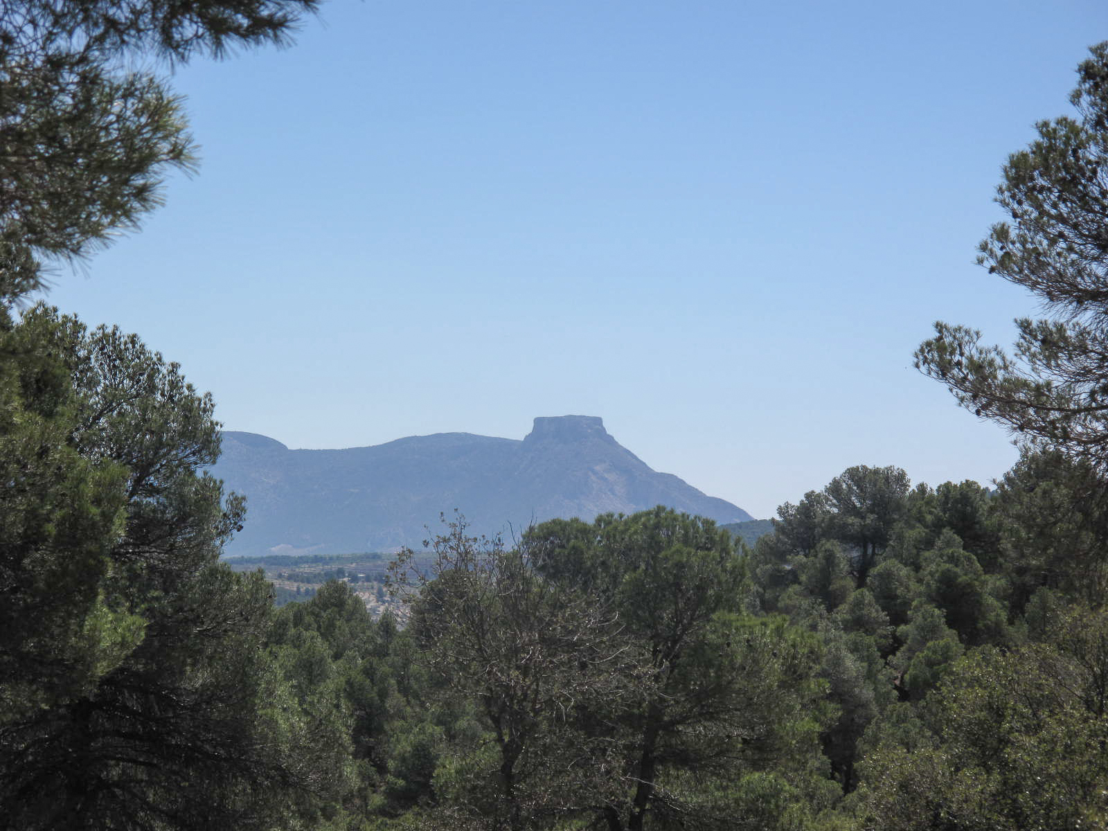
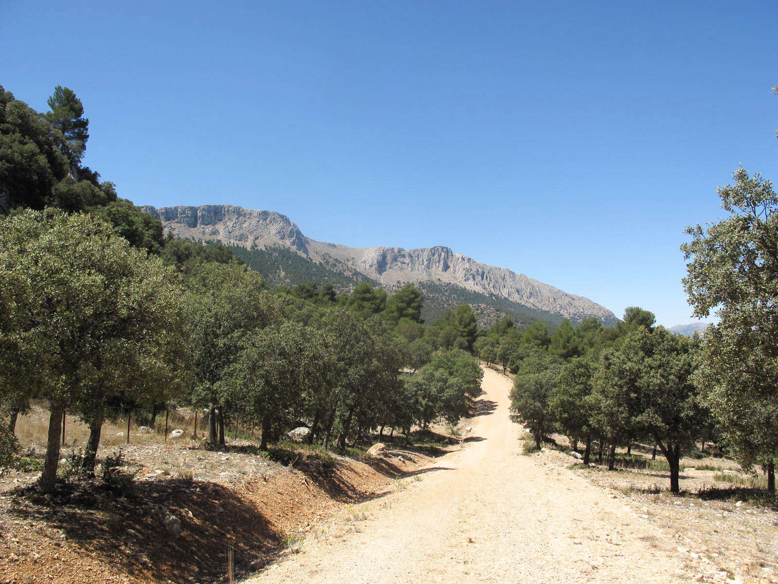
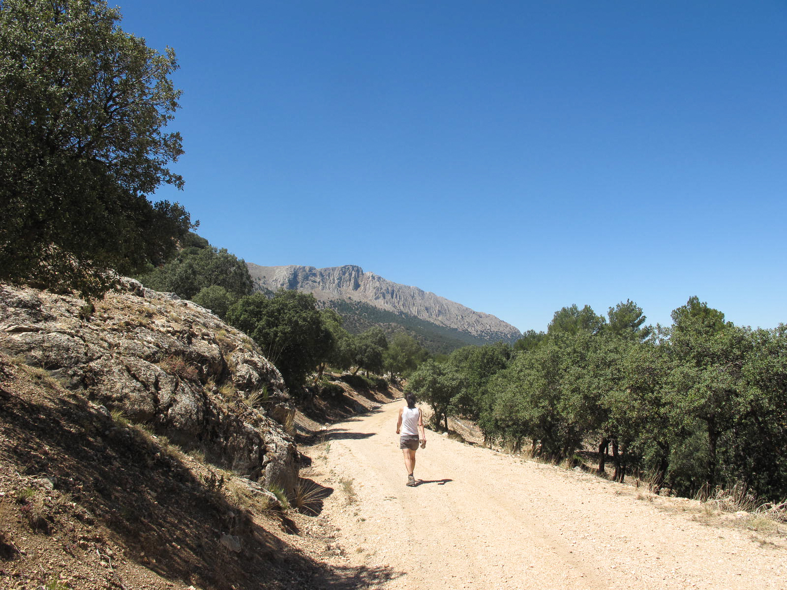
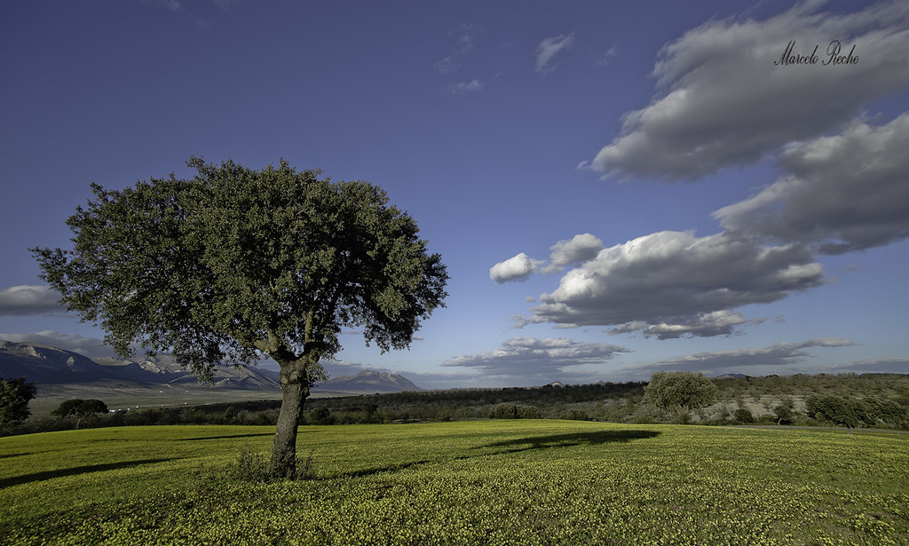
Related Photos:
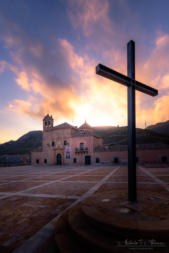
Los Chaveses

Imagen de la primavera
Cada uno en lo suyo
Sol y nieve
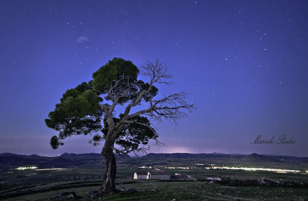
El Pino de los Chaveses. Chirivel
Another day falls on our eternal devotion / Cae otro día sobre nuestra devoción eterna
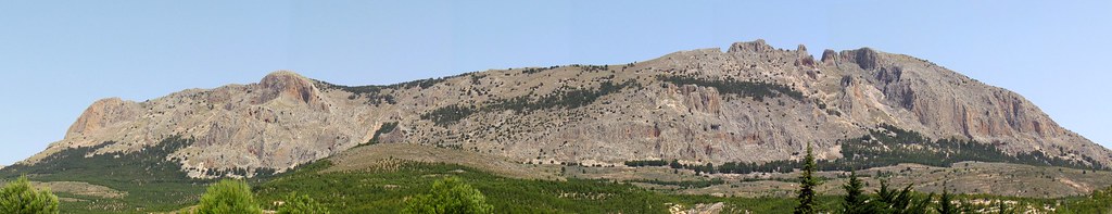
Stitch del Mahimon
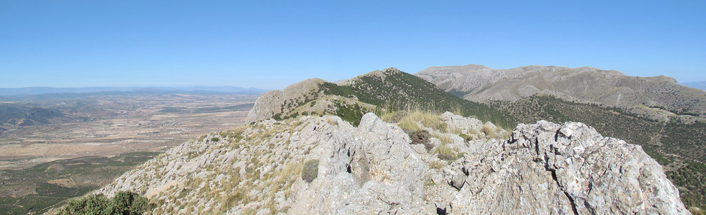
cielo azul
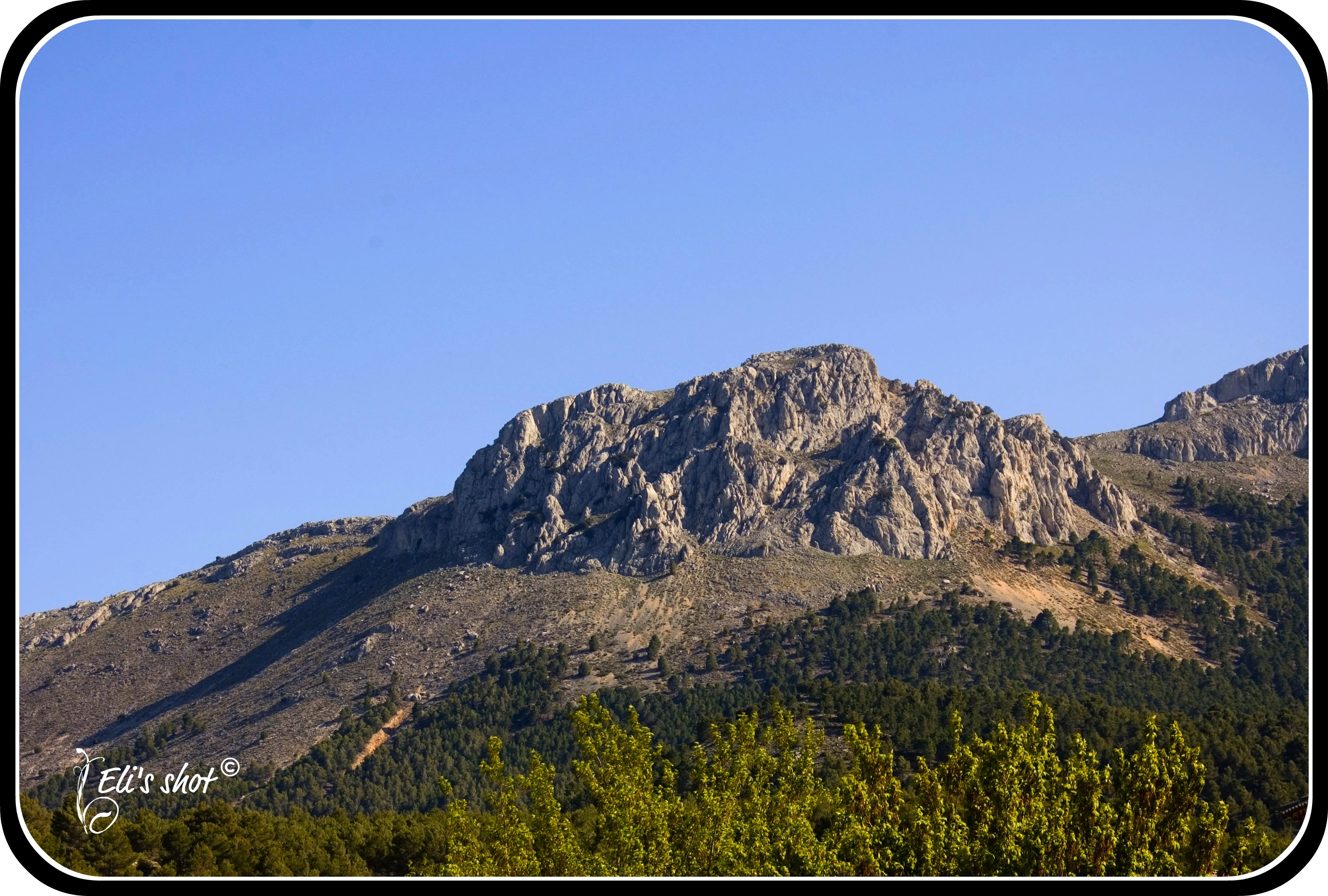
Cresta del Mahimon
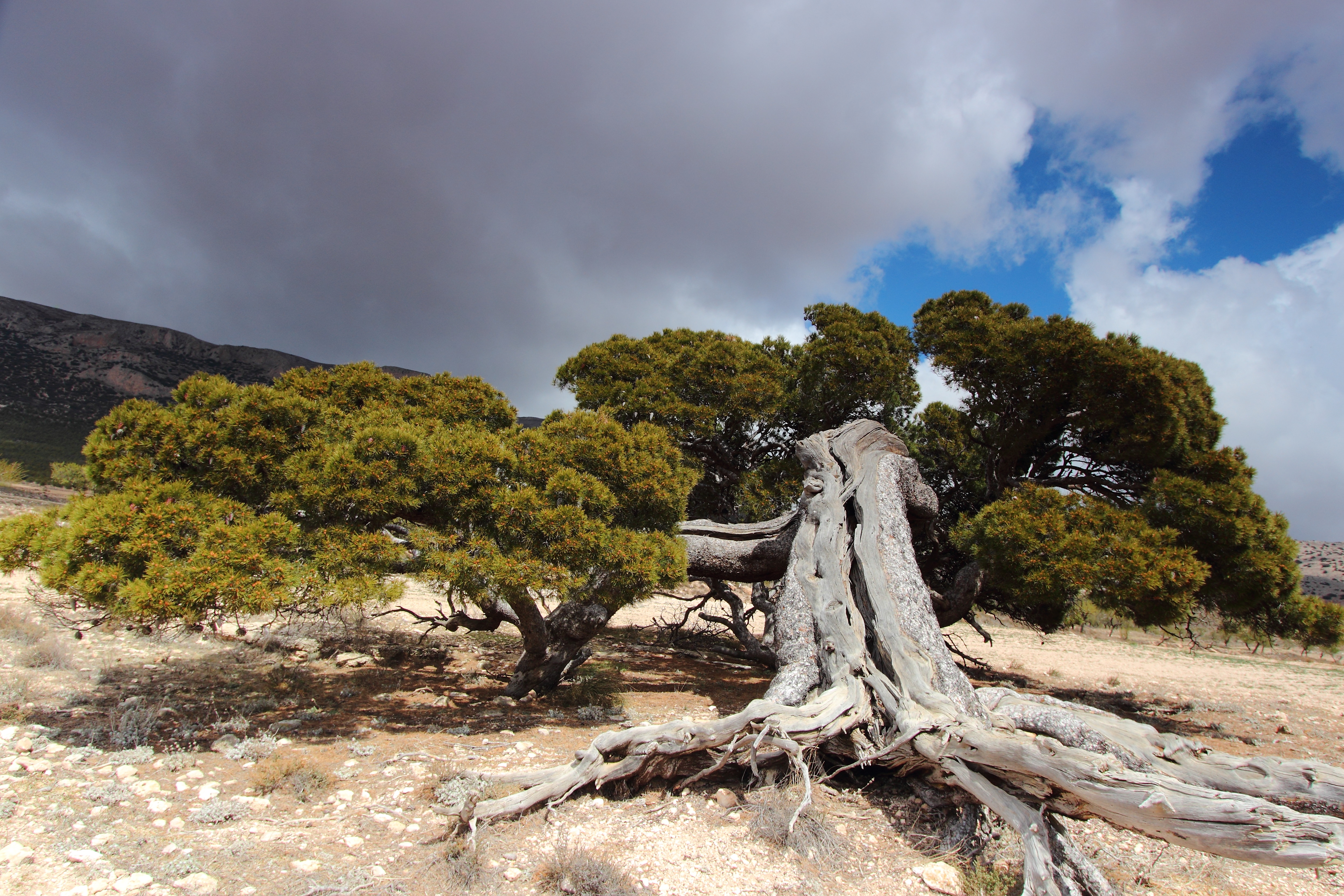
Dehesas de encinas
IMG_2425.jpg
Umbría de la sierra
IMG_2411.jpg

IMG_2412.jpg
IMG_2405.jpg
IMG_2458.jpg
IMG_2457.jpg

Quedadas a todo color
Luz del atardecer
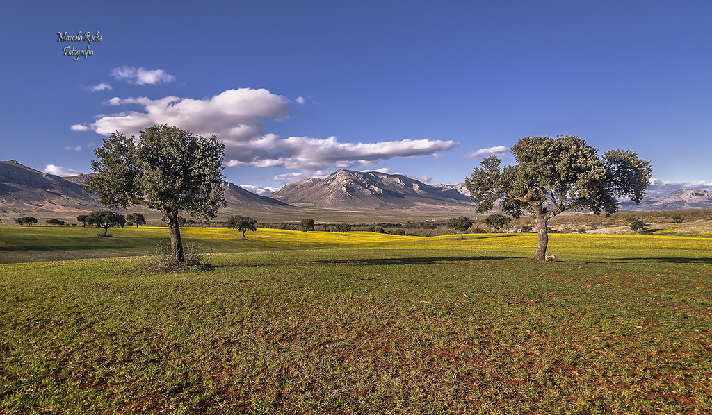
El mundo es amarillo

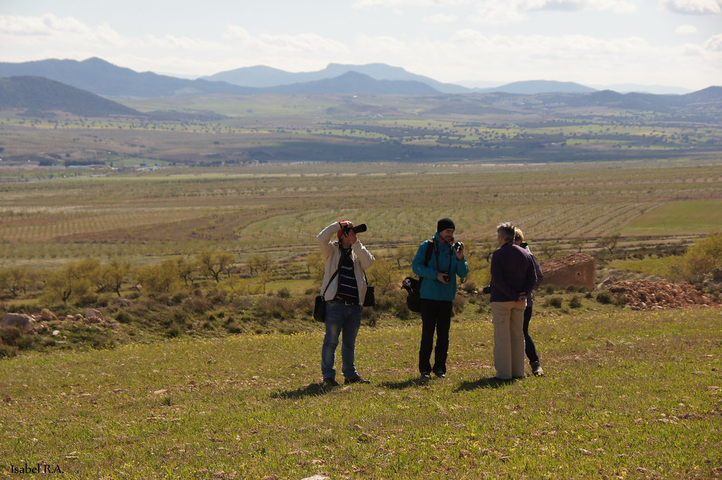
Preparando la toma
Topographic Map of Chirivel, Almería, Spain
Find elevation by address:

Places near Chirivel, Almería, Spain:
Oria
1b
Oria
Pozo De La Rueda
Paraje Saliente Alto, 33, Almería, Spain
Diseminado Medina, 46
Fuente Del Negro
Diseminado Fuente Negro, 44, Fuente del Negro, Almería, Spain
María
Las Pocicas
Partaloa
Diseminado Rio Claro, 7, Almería, Spain
Vélez-rubio
Vélez-blanco
La Cañada De Canepla
Calle Real, 25, Urrácal, Almería, Spain
Urrácal
Urrácal
Taberno
Albox
Recent Searches:
- Elevation of Corso Fratelli Cairoli, 35, Macerata MC, Italy
- Elevation of Tallevast Rd, Sarasota, FL, USA
- Elevation of 4th St E, Sonoma, CA, USA
- Elevation of Black Hollow Rd, Pennsdale, PA, USA
- Elevation of Oakland Ave, Williamsport, PA, USA
- Elevation of Pedrógão Grande, Portugal
- Elevation of Klee Dr, Martinsburg, WV, USA
- Elevation of Via Roma, Pieranica CR, Italy
- Elevation of Tavkvetili Mountain, Georgia
- Elevation of Hartfords Bluff Cir, Mt Pleasant, SC, USA