Elevation of Chiriguaná, Cesar, Colombia
Location: Colombia > Cesar >
Longitude: -73.5997
Latitude: 9.361464
Elevation: 34m / 112feet
Barometric Pressure: 101KPa
Elevation Map:
Satellite Map:
Related Photos:
La Loma Cesar
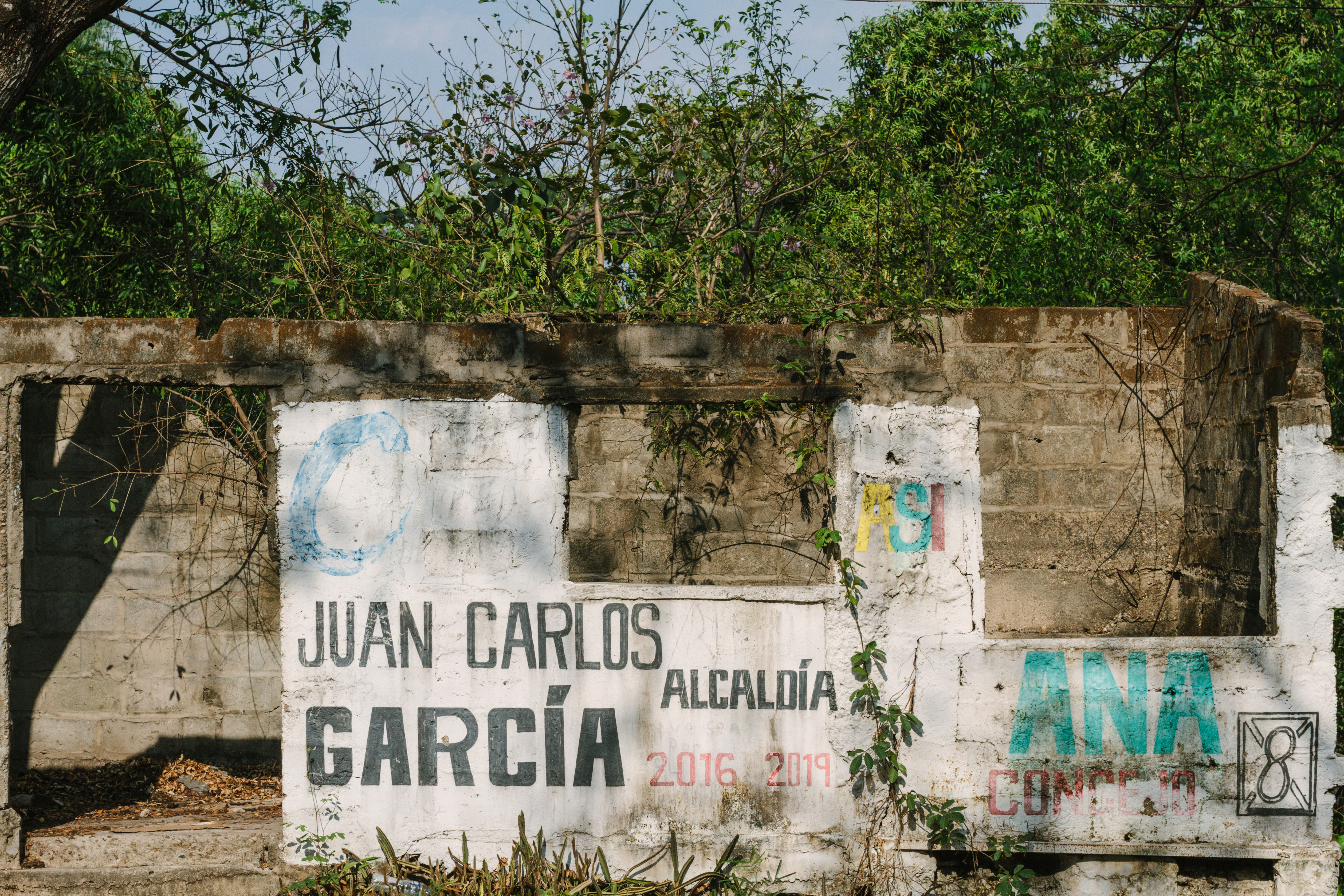
Vacant Tomb, Chiriguaná Colombia
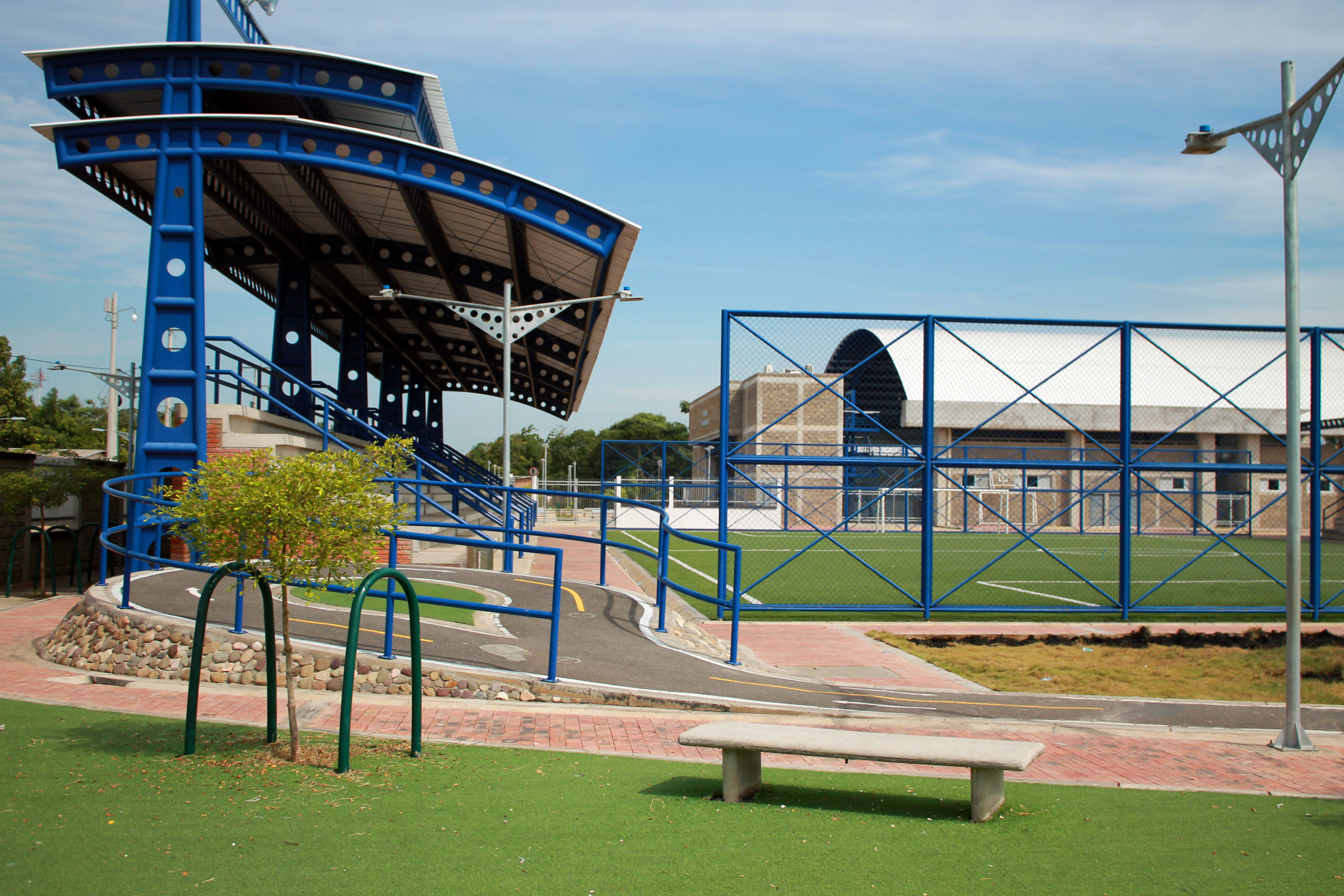
Villa olimpica

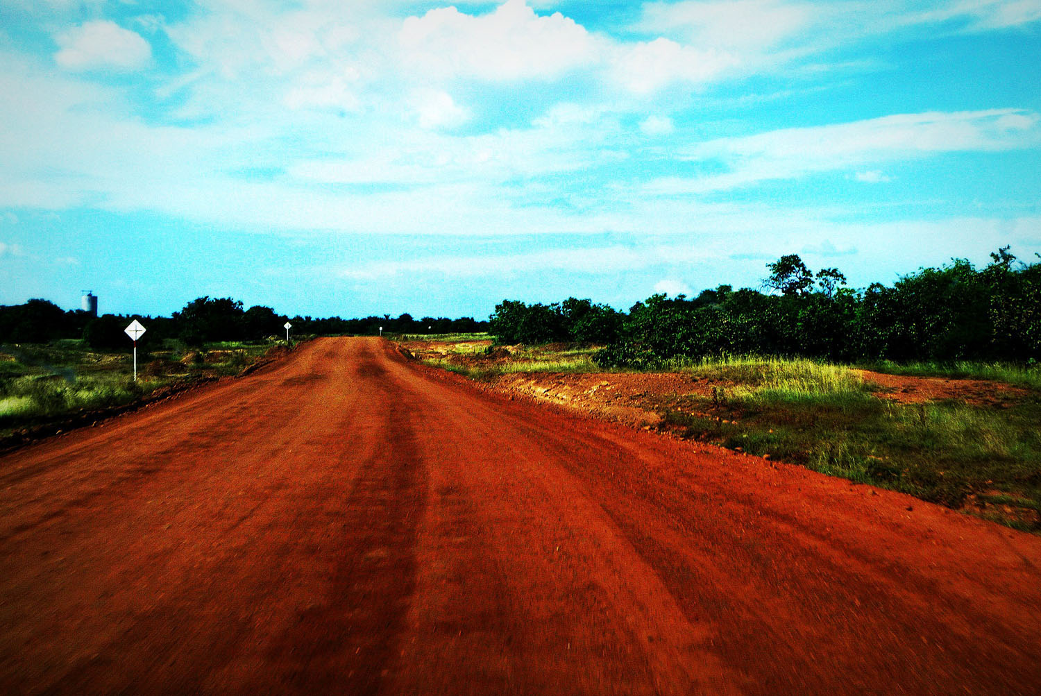
Open highway
Topographic Map of Chiriguaná, Cesar, Colombia
Find elevation by address:

Places in Chiriguaná, Cesar, Colombia:
Places near Chiriguaná, Cesar, Colombia:
Recent Searches:
- Elevation of Corso Fratelli Cairoli, 35, Macerata MC, Italy
- Elevation of Tallevast Rd, Sarasota, FL, USA
- Elevation of 4th St E, Sonoma, CA, USA
- Elevation of Black Hollow Rd, Pennsdale, PA, USA
- Elevation of Oakland Ave, Williamsport, PA, USA
- Elevation of Pedrógão Grande, Portugal
- Elevation of Klee Dr, Martinsburg, WV, USA
- Elevation of Via Roma, Pieranica CR, Italy
- Elevation of Tavkvetili Mountain, Georgia
- Elevation of Hartfords Bluff Cir, Mt Pleasant, SC, USA