Elevation map of Chipinge, Zimbabwe
Location: Zimbabwe > Manicaland Province >
Longitude: 32.4467238
Latitude: -20.467051
Elevation: 1124m / 3688feet
Barometric Pressure: 89KPa
Elevation Map:
Satellite Map:
Related Photos:
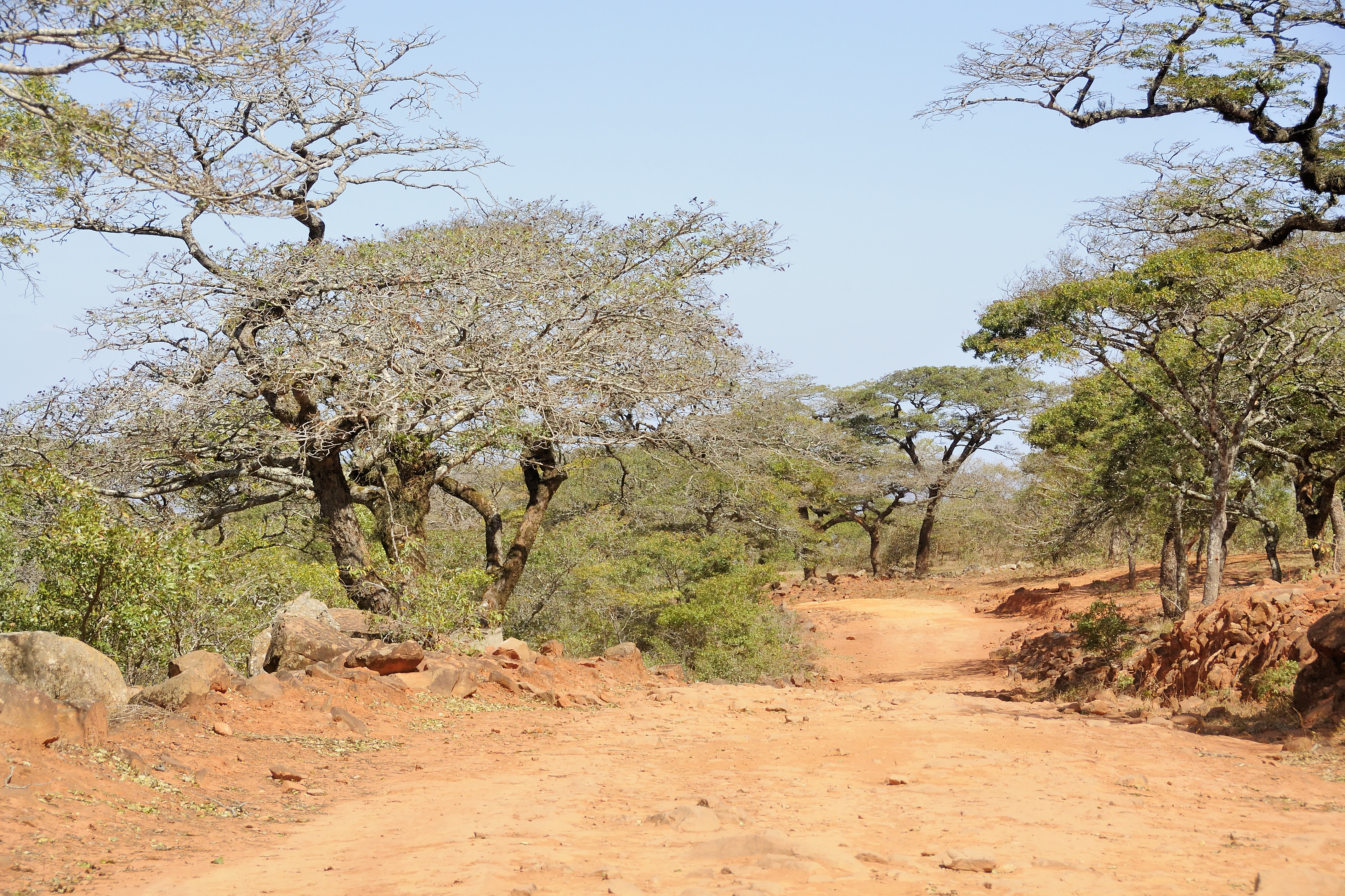
Road to A10, or road to nowhere?
Topographic Map of Chipinge, Zimbabwe
Find elevation by address:

Places in Chipinge, Zimbabwe:
Places near Chipinge, Zimbabwe:
Recent Searches:
- Elevation of Corso Fratelli Cairoli, 35, Macerata MC, Italy
- Elevation of Tallevast Rd, Sarasota, FL, USA
- Elevation of 4th St E, Sonoma, CA, USA
- Elevation of Black Hollow Rd, Pennsdale, PA, USA
- Elevation of Oakland Ave, Williamsport, PA, USA
- Elevation of Pedrógão Grande, Portugal
- Elevation of Klee Dr, Martinsburg, WV, USA
- Elevation of Via Roma, Pieranica CR, Italy
- Elevation of Tavkvetili Mountain, Georgia
- Elevation of Hartfords Bluff Cir, Mt Pleasant, SC, USA