Elevation of Chinthakani, Telangana, India
Location: India > Telangana > Khammam >
Longitude: 80.2021516
Latitude: 17.233204
Elevation: 133m / 436feet
Barometric Pressure: 100KPa
Elevation Map:
Satellite Map:
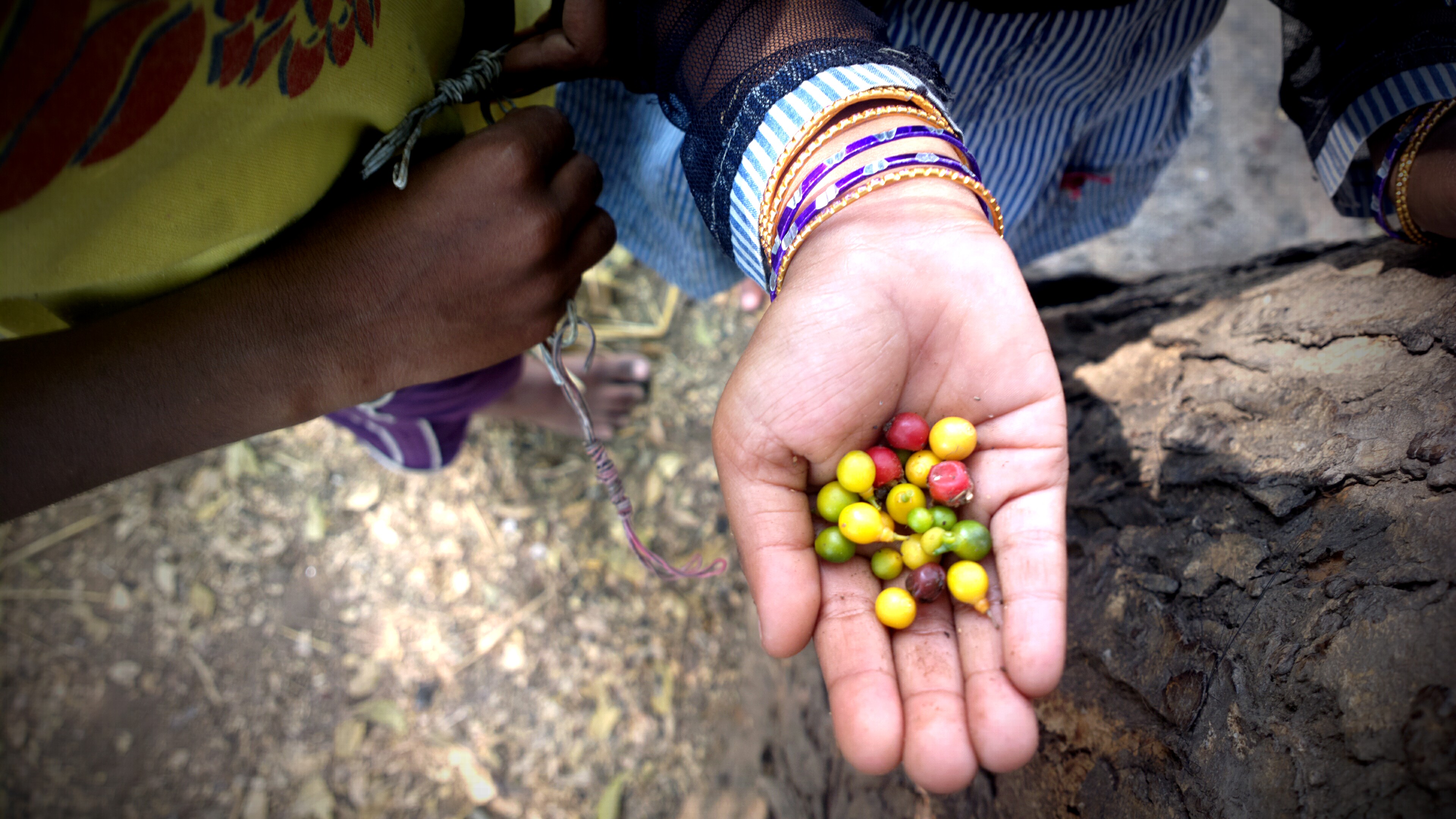
Related Photos:

On her way to work, a...

Srikanth Nagisetty

IMG-20140225-01471

IMG-20140225-01480

IMG-20140225-01478

IMG-20140225-01481

PG/0159/A/10/000044
2013-02-03-0590_Q1
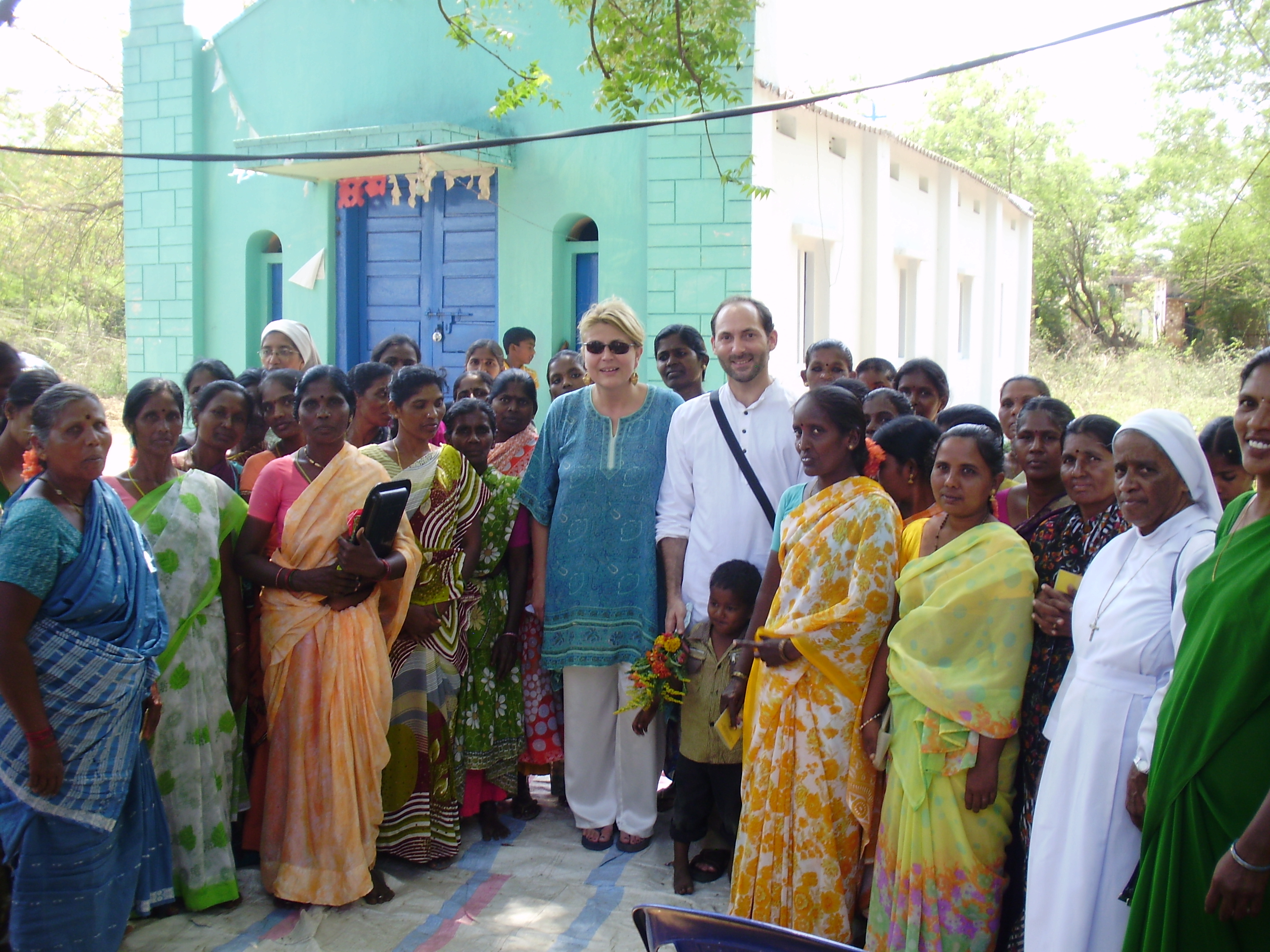
Gorlapadu village
Topographic Map of Chinthakani, Telangana, India
Find elevation by address:

Places near Chinthakani, Telangana, India:
Kaikondaigudem Bus Stop
Bayyaram Cheruvu
Yellandu
Lingagiri
Tekulapally Police Station
Tekulapally
Kothagudem
Khammam
Lakshminagaram
Lachigudem
Rohit Csc Centre, Maraiguda,konta
Gangrel
Palachalma
Timmapuram
Golapalli
Kistaram
West Godavari
Singaram
Potakpalli
Konta
Recent Searches:
- Elevation of Corso Fratelli Cairoli, 35, Macerata MC, Italy
- Elevation of Tallevast Rd, Sarasota, FL, USA
- Elevation of 4th St E, Sonoma, CA, USA
- Elevation of Black Hollow Rd, Pennsdale, PA, USA
- Elevation of Oakland Ave, Williamsport, PA, USA
- Elevation of Pedrógão Grande, Portugal
- Elevation of Klee Dr, Martinsburg, WV, USA
- Elevation of Via Roma, Pieranica CR, Italy
- Elevation of Tavkvetili Mountain, Georgia
- Elevation of Hartfords Bluff Cir, Mt Pleasant, SC, USA