Elevation of Chinquapin Road, Chinquapin Rd, South Carolina, USA
Location: United States > South Carolina > Greenville County > Travelers Rest >
Longitude: -82.405321
Latitude: 35.089032
Elevation: 383m / 1257feet
Barometric Pressure: 97KPa
Elevation Map:
Satellite Map:
Related Photos:
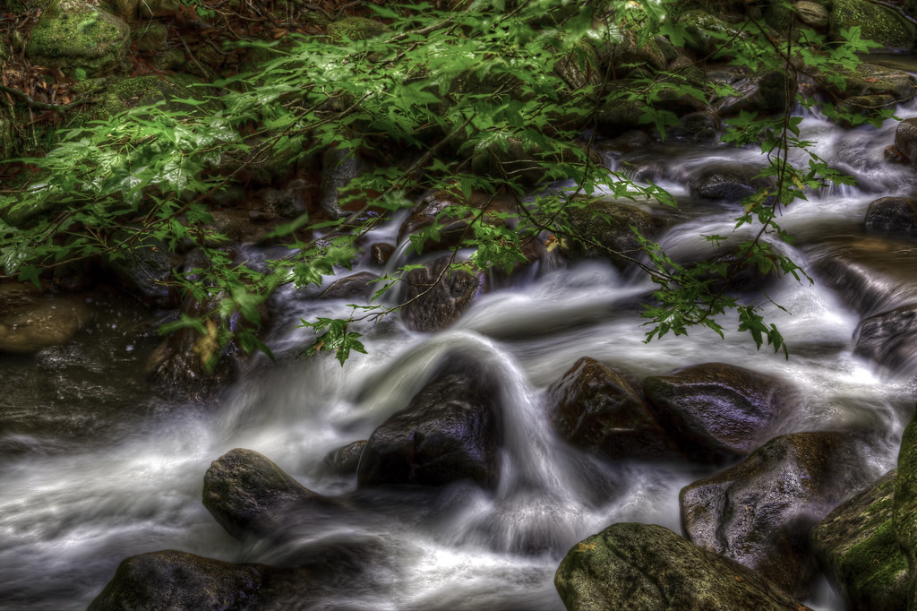
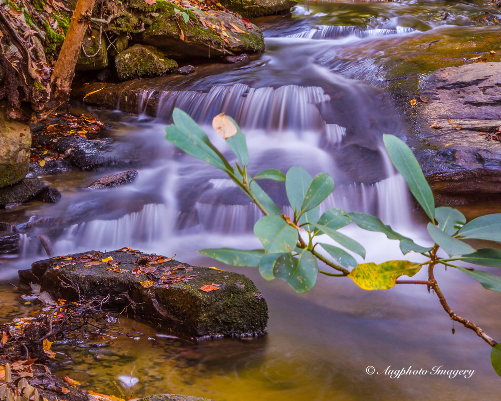
River On the Rocks II

Pearson Lower New Trail - Read Description
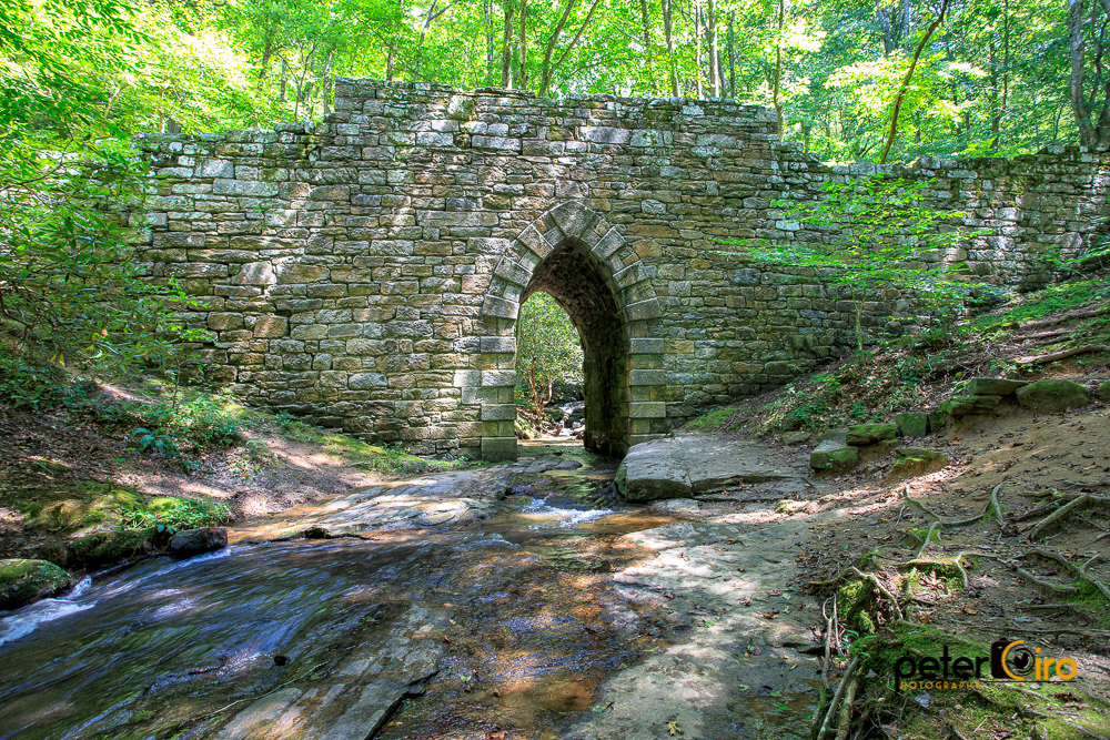
Poinsett Bridge near Highland, SC

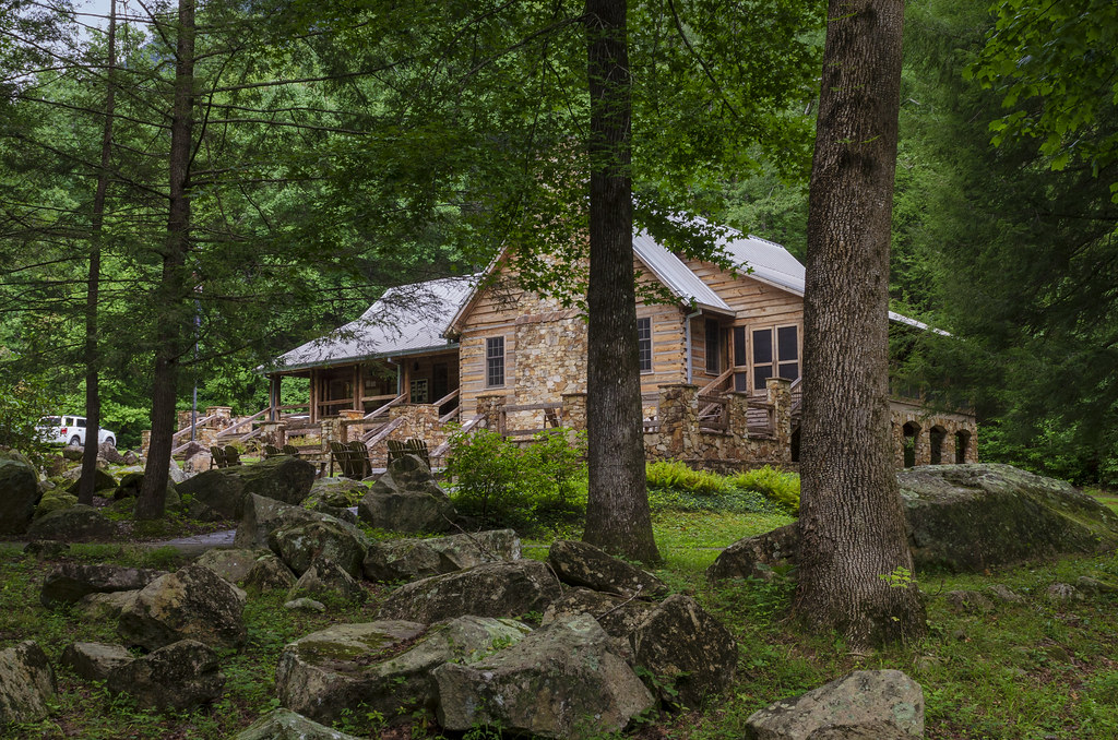
The Hayloft Cottage
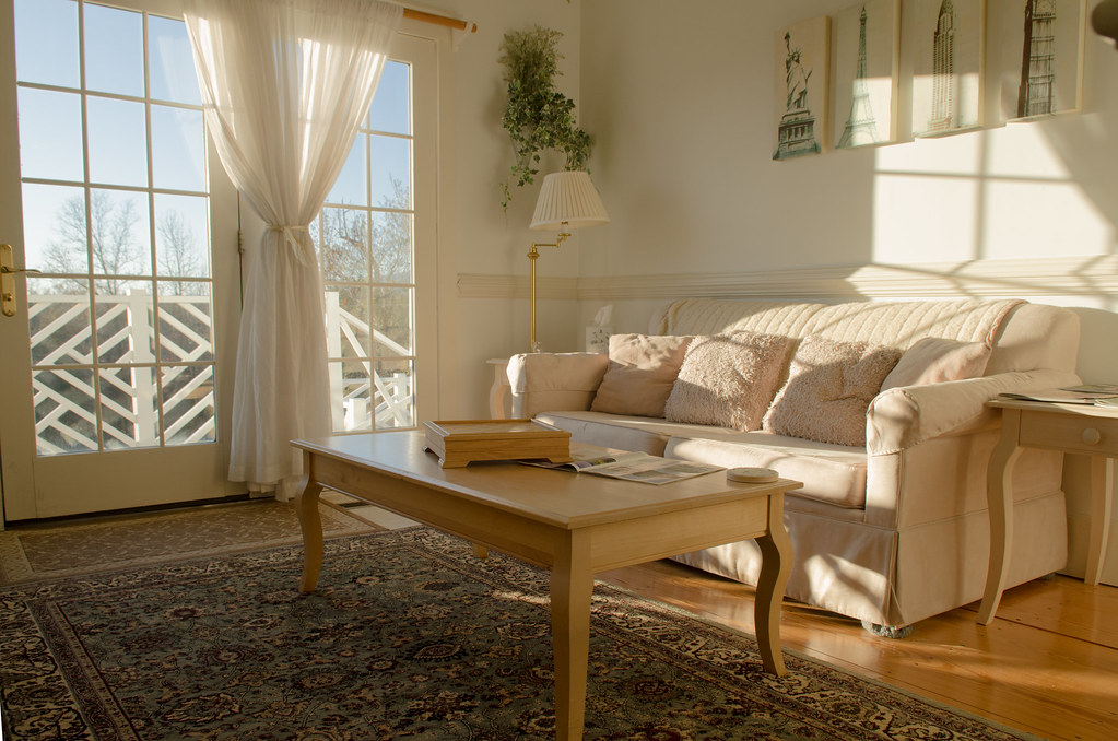
Springhouse Cottage
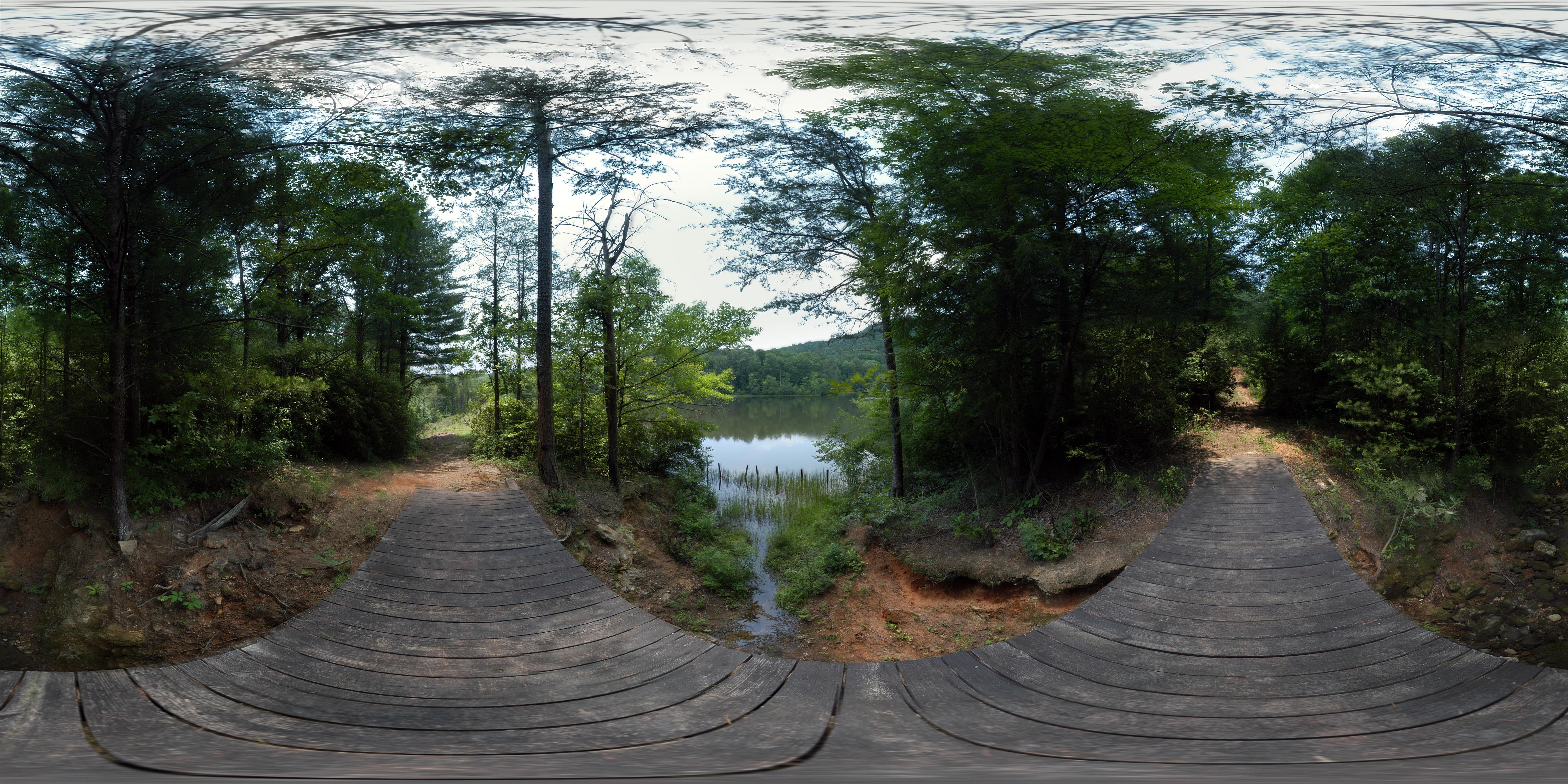
Ashmore Heritage Preserve (360° x 180°)

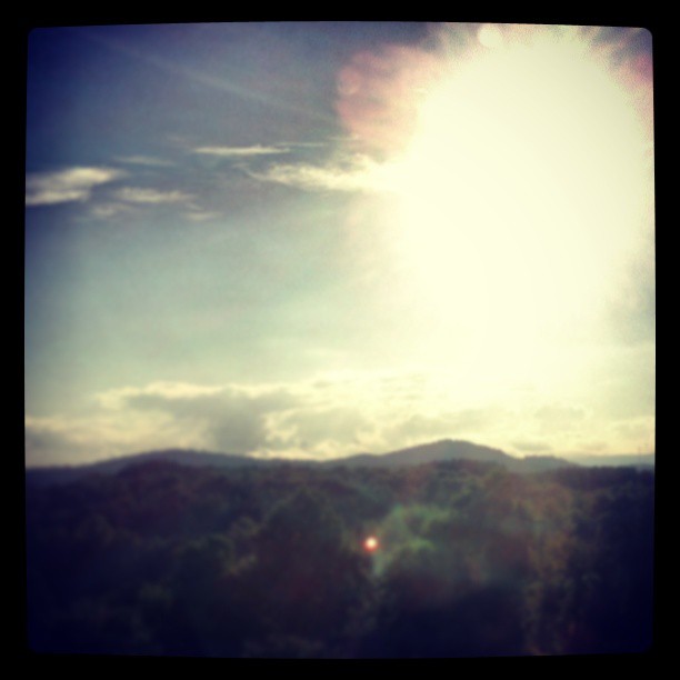
Blue Ridge Mountain View from our vacation cabin porch (HDR)

Travelers Rest, South Carolina, USA

Pretty Place Chapel
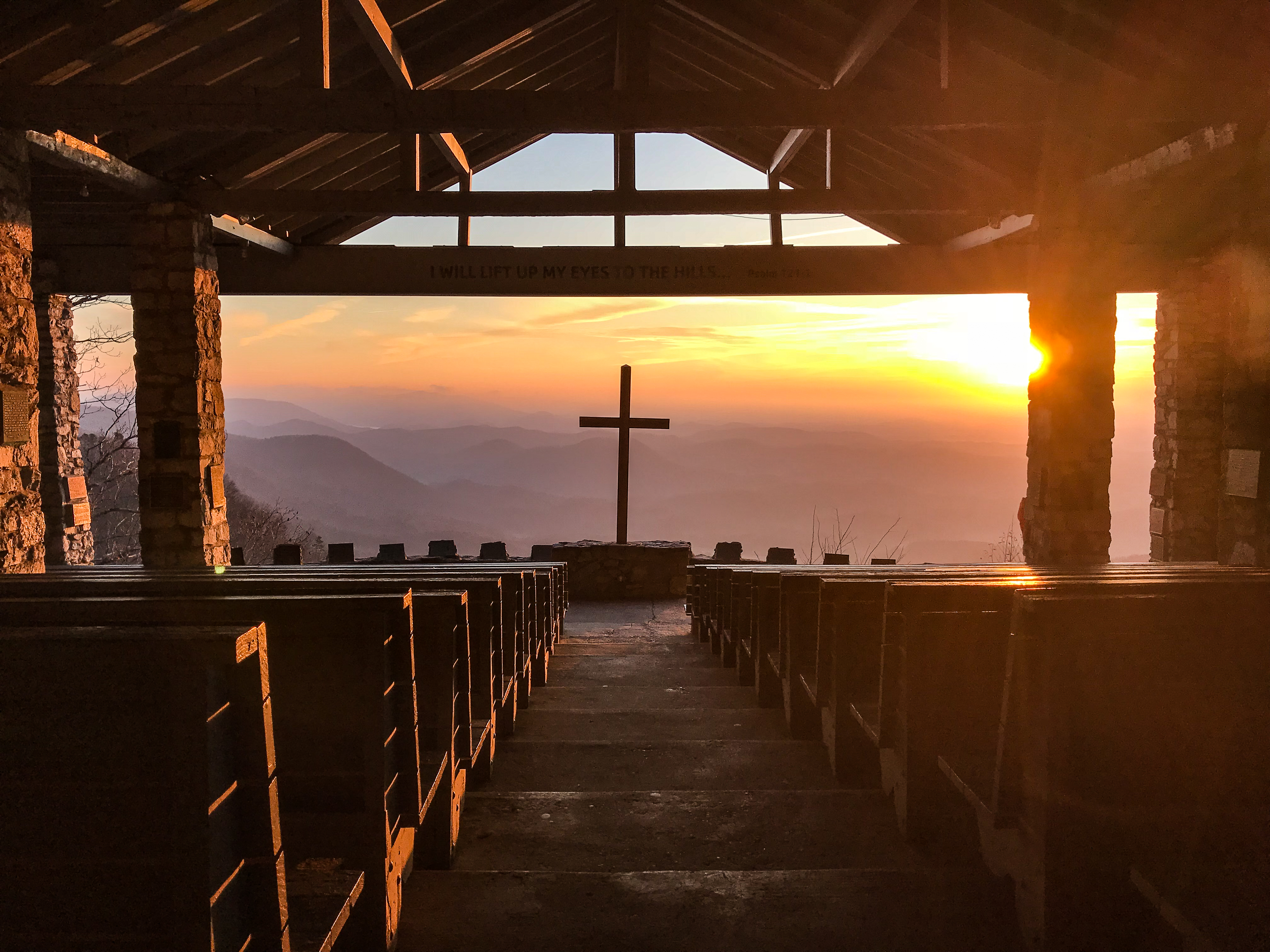
Pretty Place Chapel
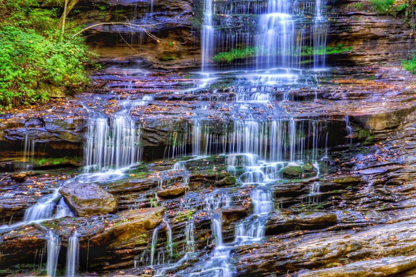
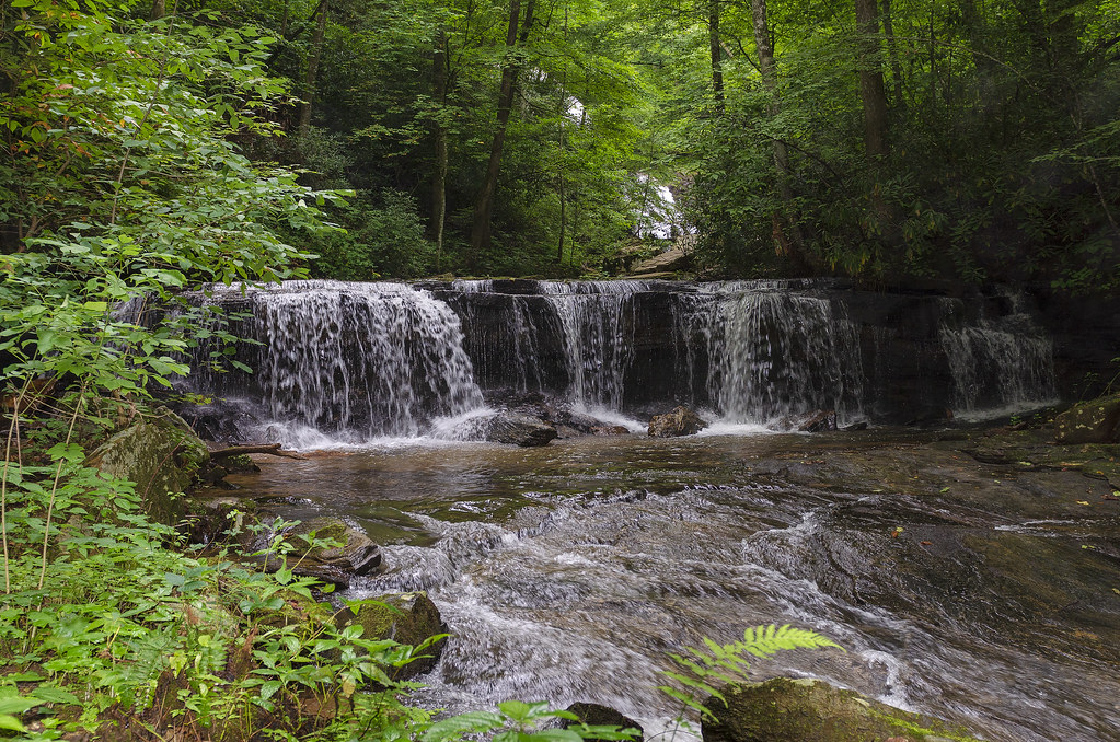
Pearson's Falls
Pearson's Falls
View from my window.
Main Inn View

Day 1235 - The View
View of summit from North Lake

sunset sundial

View of the drained Swimming Lake from the Boating Lake dam.
view through a "bug eye" toy.
Pearson's Falls-through the Trees
what the ...?
Pearson's Falls

Misty Morning
Bokeh, Bokeh Everywhere...

Beads and bokeh
Gentle North Pacolet

Bradley Falls creek

Jones Gap
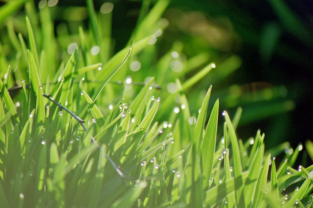
Wet Grasses (Film) (Explored)
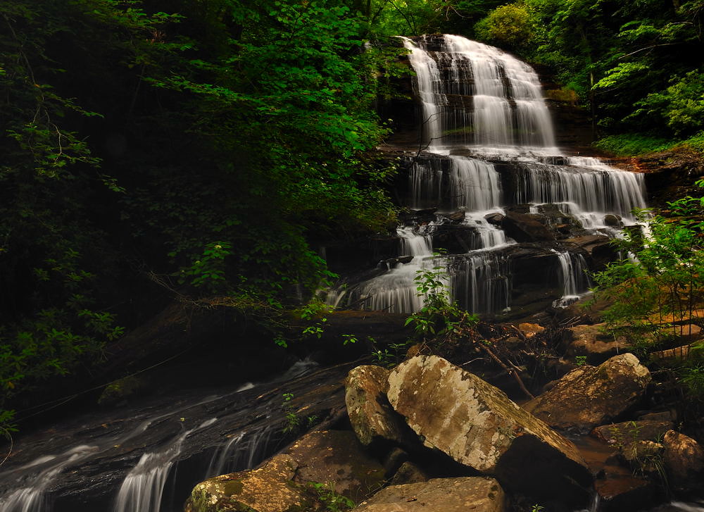
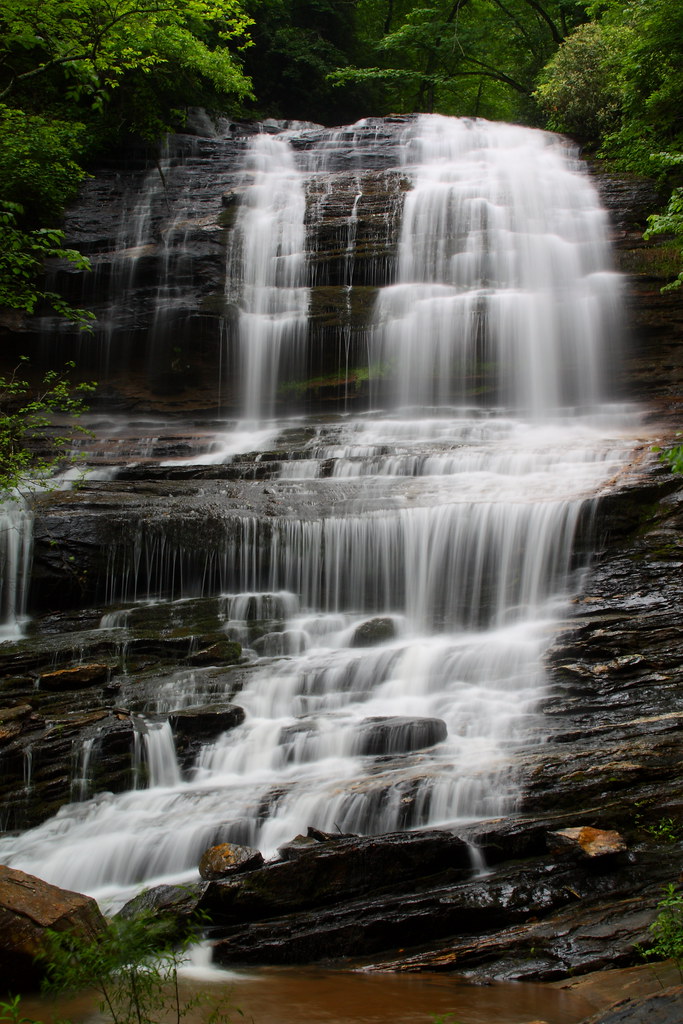
Pearson's Falls, N.C.

Foggy Morning

Can You Count them All?
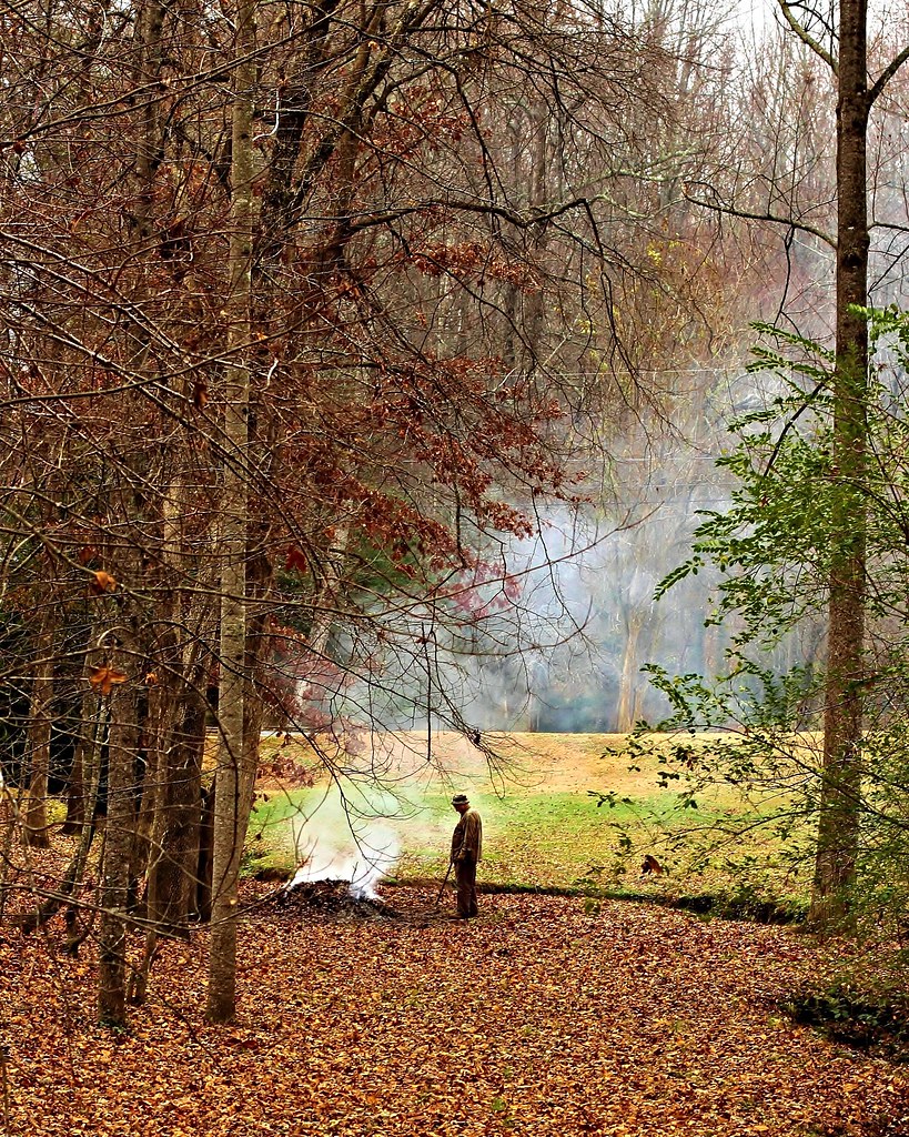
Man Burning Leaves

North Saluda Reservoir
Jones Gap State Park
Poinsett Cascade

Small Waterfall at Pearson's Falls
Gentle Falls on the North Pacolet River
Topographic Map of Chinquapin Road, Chinquapin Rd, South Carolina, USA
Find elevation by address:

Places near Chinquapin Road, Chinquapin Rd, South Carolina, USA:
Travelers Rest, SC, USA
59 Wildflower Ln
14 Valley Crest Ct #49
62 Timberline Dr
2559 Sc-11
301 Lanford Cir
Chestnut Mountain
30 Ryder Cup Dr
10 Wildberry Way
9045 N Tigerville Rd
2400 Us-25
9236 N Tigerville Rd
Tigerville
Lima
Cedar Mountain
61 Blair Atholl Trail
206 Short Branch Rd
99 Short Branch Rd
326 Imperia Ct
80 Blair Atholl Trail
Recent Searches:
- Elevation of Corso Fratelli Cairoli, 35, Macerata MC, Italy
- Elevation of Tallevast Rd, Sarasota, FL, USA
- Elevation of 4th St E, Sonoma, CA, USA
- Elevation of Black Hollow Rd, Pennsdale, PA, USA
- Elevation of Oakland Ave, Williamsport, PA, USA
- Elevation of Pedrógão Grande, Portugal
- Elevation of Klee Dr, Martinsburg, WV, USA
- Elevation of Via Roma, Pieranica CR, Italy
- Elevation of Tavkvetili Mountain, Georgia
- Elevation of Hartfords Bluff Cir, Mt Pleasant, SC, USA