Elevation of Chilungula, Tanzania
Location: Tanzania > Lindi Region > Ruangwa >
Longitude: 38.933333
Latitude: -10.466667
Elevation: 280m / 919feet
Barometric Pressure: 98KPa
Elevation Map:
Satellite Map:
Related Photos:
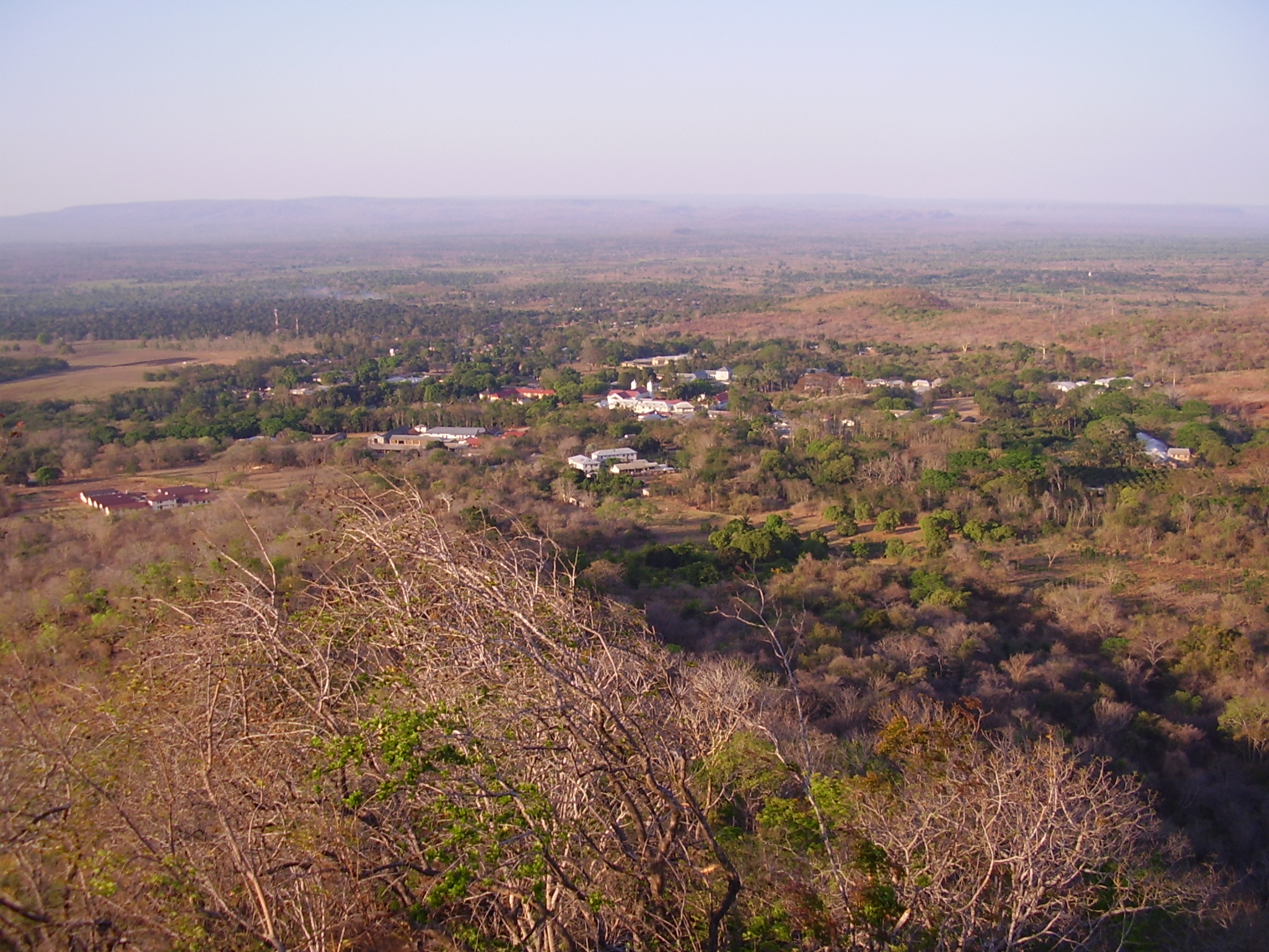
Ndanda and the flood-plain of the Lukuledi River
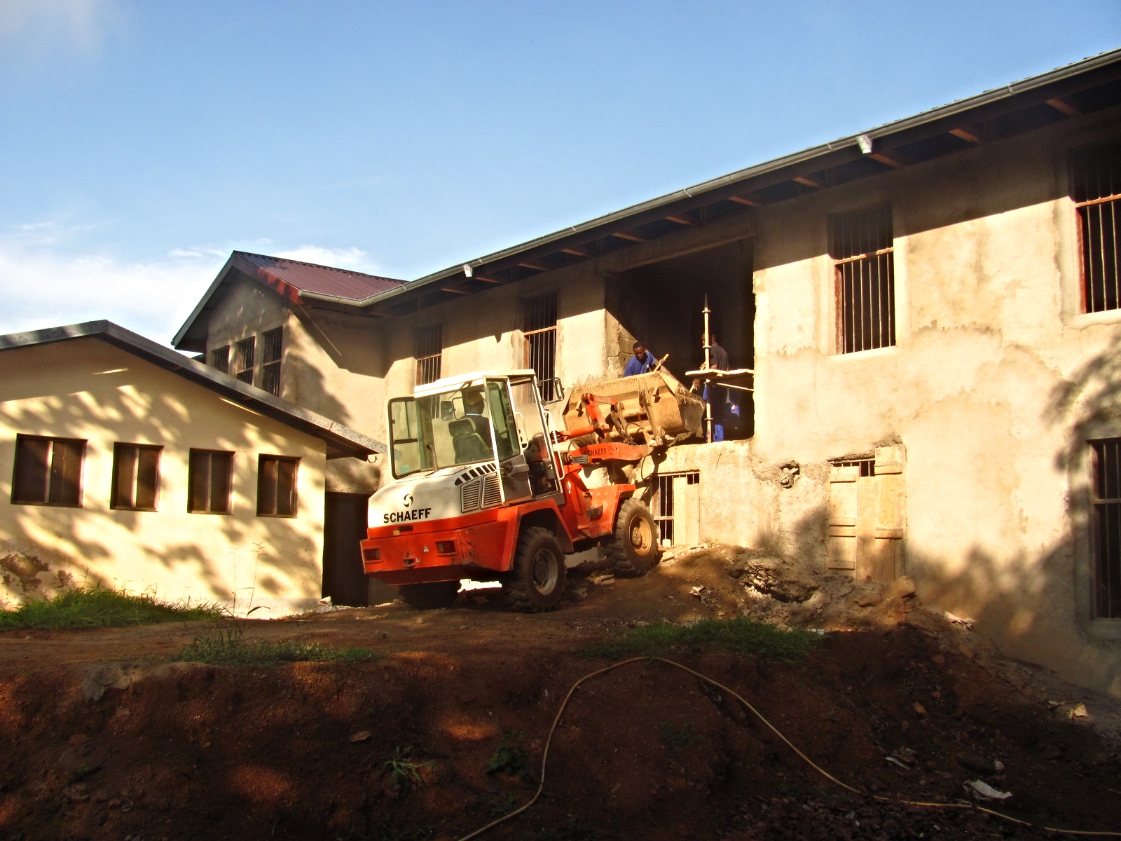
Students in training
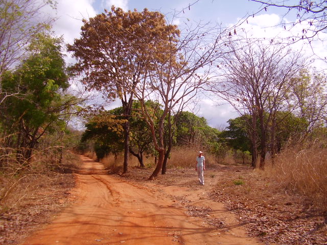
Every year this region has six months without rain.
Topographic Map of Chilungula, Tanzania
Find elevation by address:

Places near Chilungula, Tanzania:
Ndanda
Nachingwea
Masasi
Mtwara Region
Newala
Lindi
Ruangwa
Chiungutwa
Rondo Plateau
Ruangwa
Mtene
Masasi
Nanyumbu
Recent Searches:
- Elevation of Corso Fratelli Cairoli, 35, Macerata MC, Italy
- Elevation of Tallevast Rd, Sarasota, FL, USA
- Elevation of 4th St E, Sonoma, CA, USA
- Elevation of Black Hollow Rd, Pennsdale, PA, USA
- Elevation of Oakland Ave, Williamsport, PA, USA
- Elevation of Pedrógão Grande, Portugal
- Elevation of Klee Dr, Martinsburg, WV, USA
- Elevation of Via Roma, Pieranica CR, Italy
- Elevation of Tavkvetili Mountain, Georgia
- Elevation of Hartfords Bluff Cir, Mt Pleasant, SC, USA