Elevation of Chicod, NC, USA
Location: United States > North Carolina > Pitt County >
Longitude: -77.252010
Latitude: 35.4651986
Elevation: 11m / 36feet
Barometric Pressure: 101KPa
Elevation Map:
Satellite Map:
Related Photos:

Spring Wheat

Side View

The Doorway

March 28, 1984

view to a garden
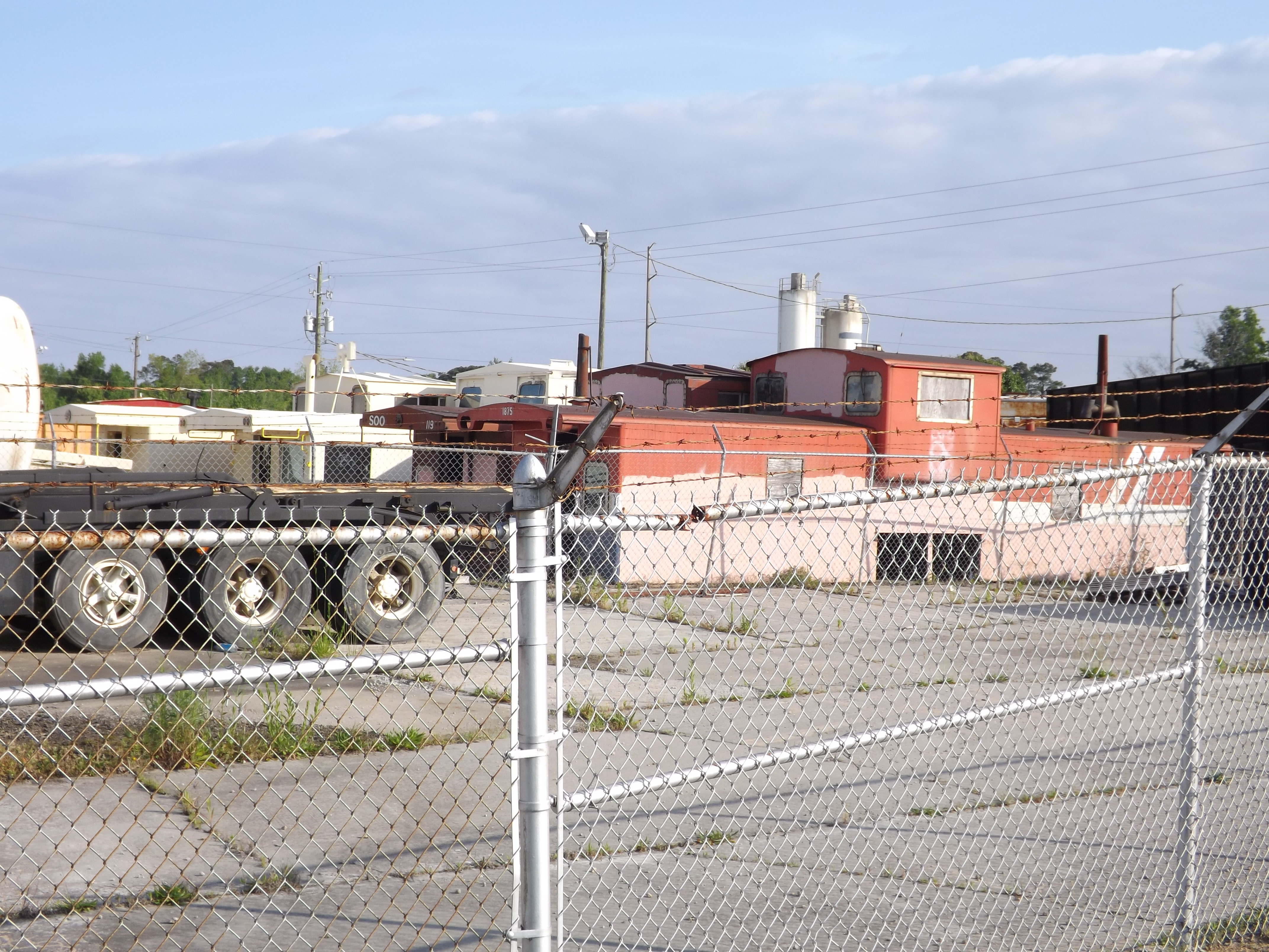
Sorta Cabooses 1of3
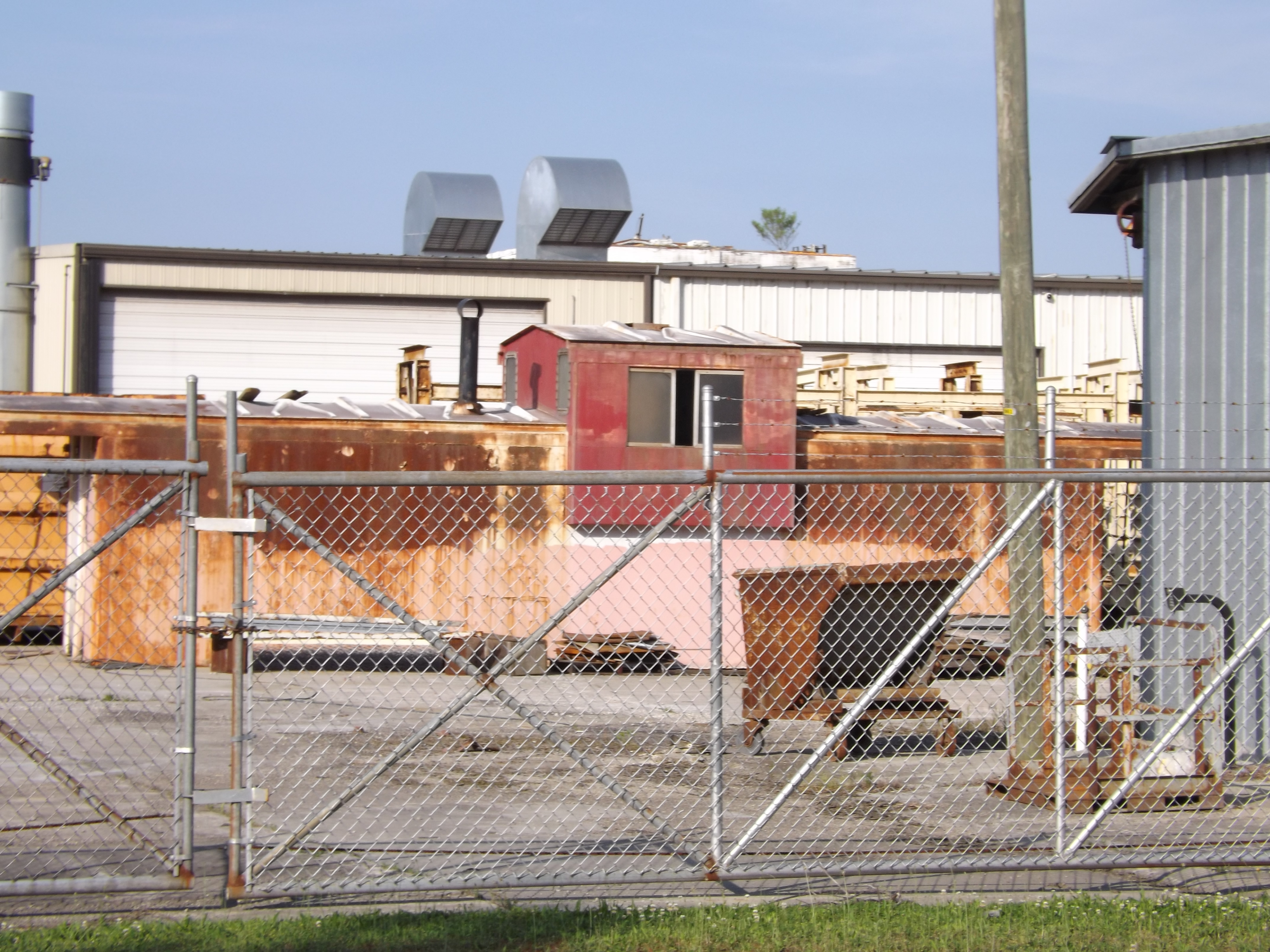
Sorta Cabooses 3of3

Sorta Cabooses 2of3
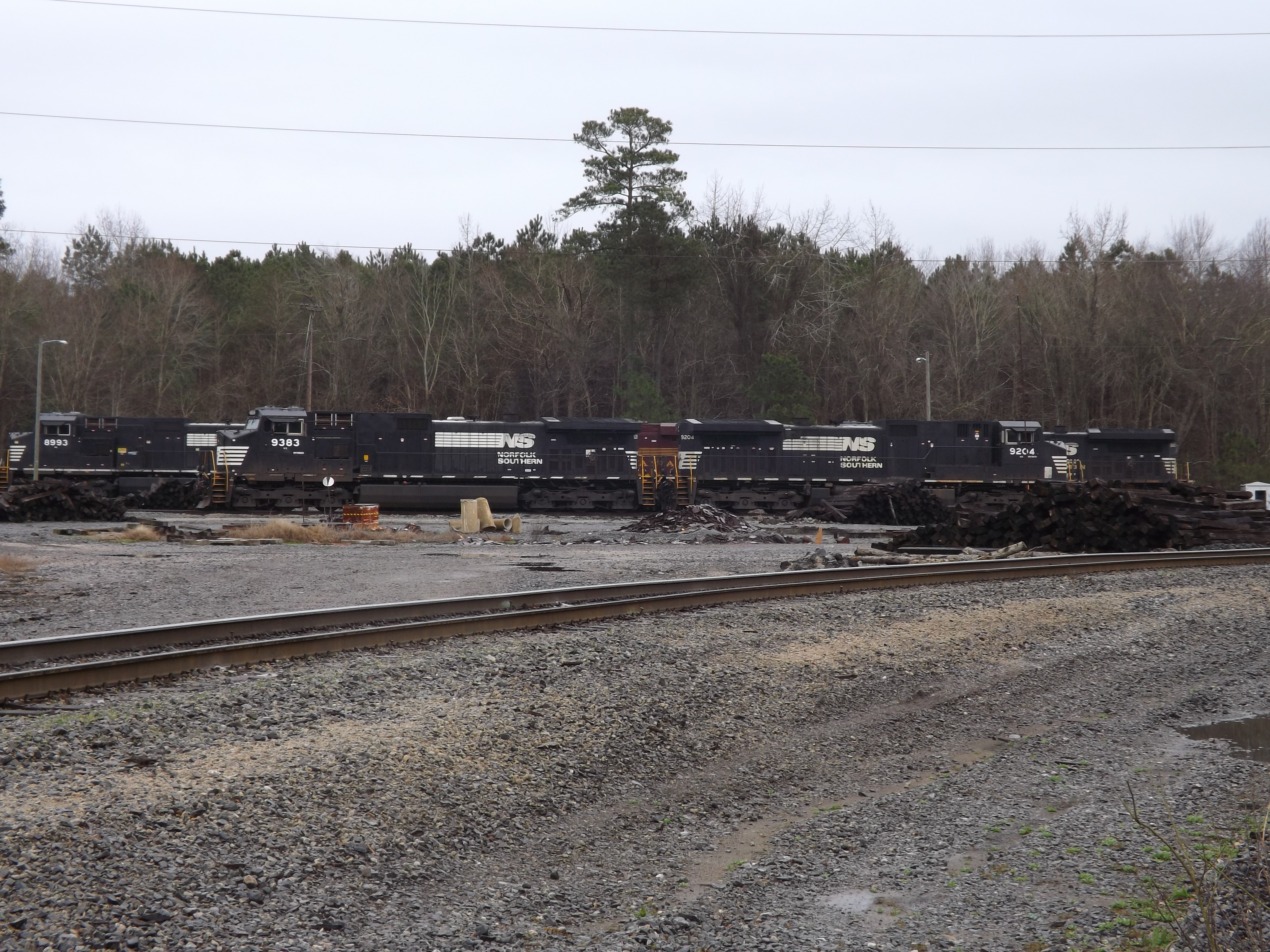
NS 8102 Pennsy Heritage 30f3

Grimes Plantation ca. 1790

Edward R. Murrow Transmitting Station

.
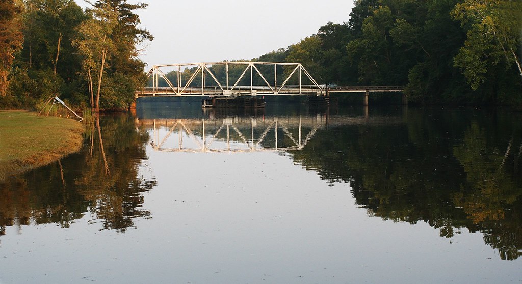
Seine Beach / Bridge to 264
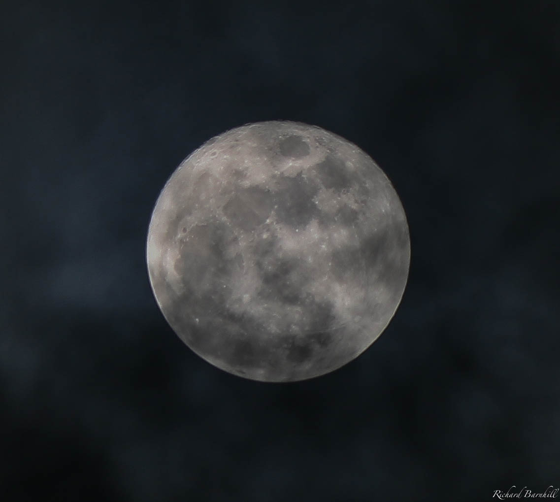
Cloudy, Christmas Full moon
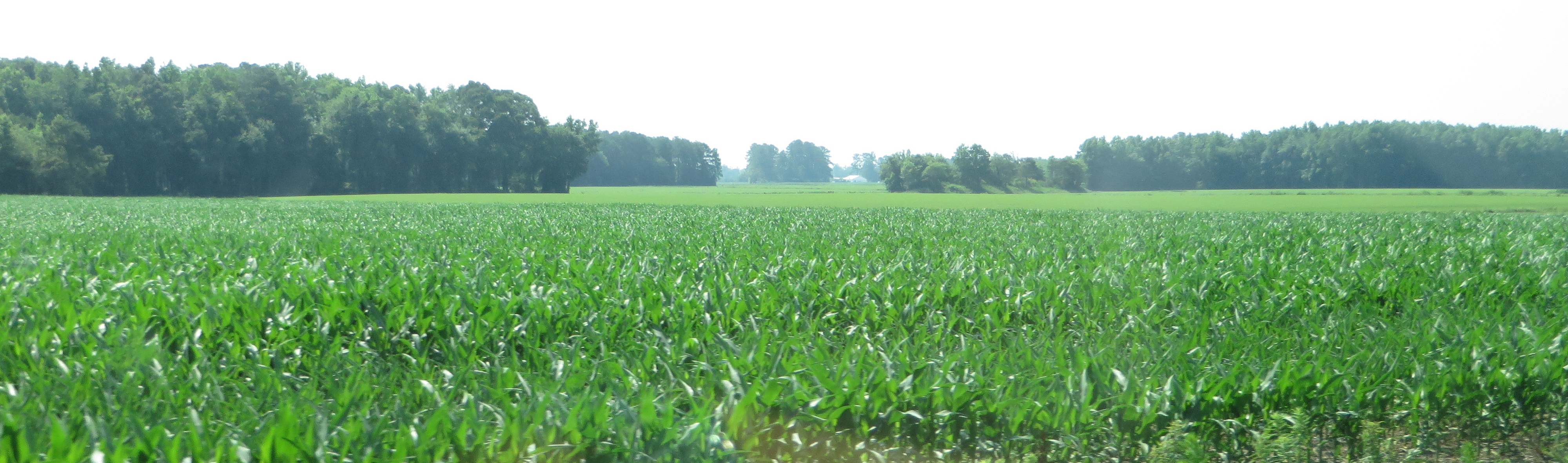
U.S. 17 Southbound, Vanceboro, North Carolina
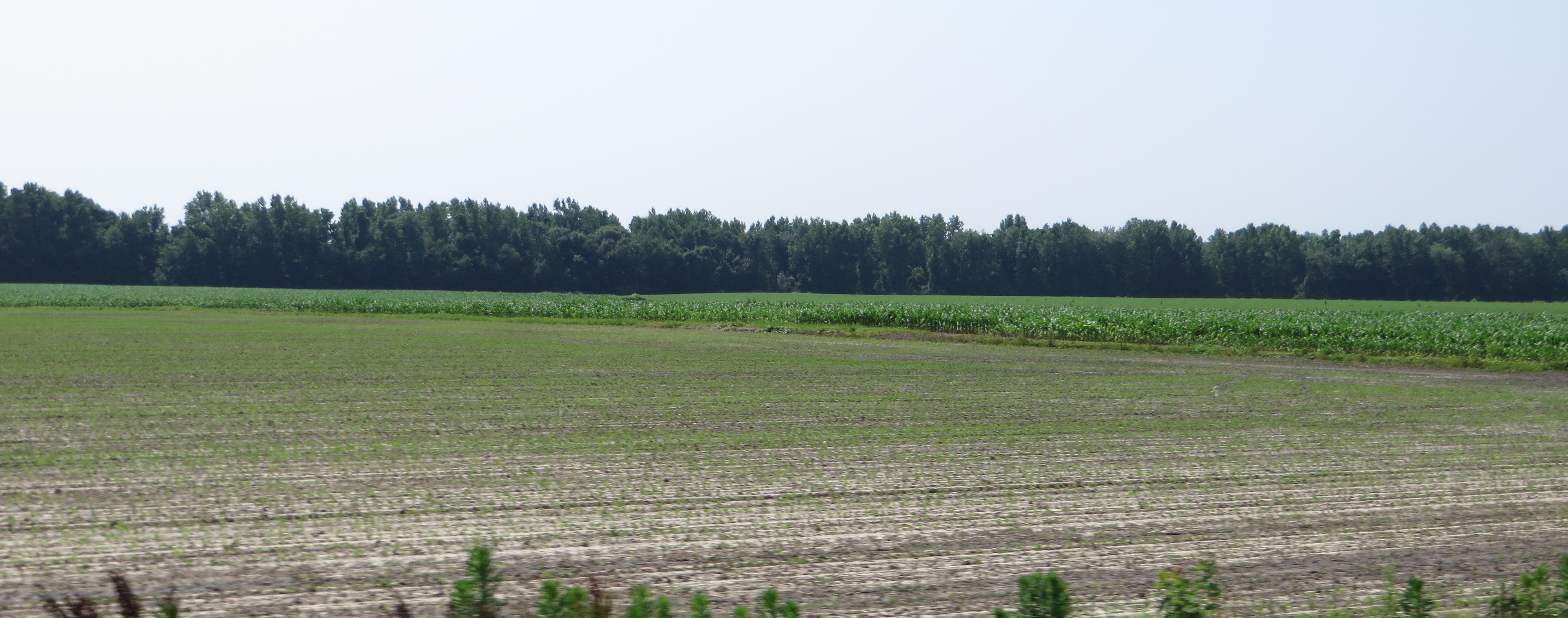
U.S. 17 Southbound, Vanceboro, North Carolina
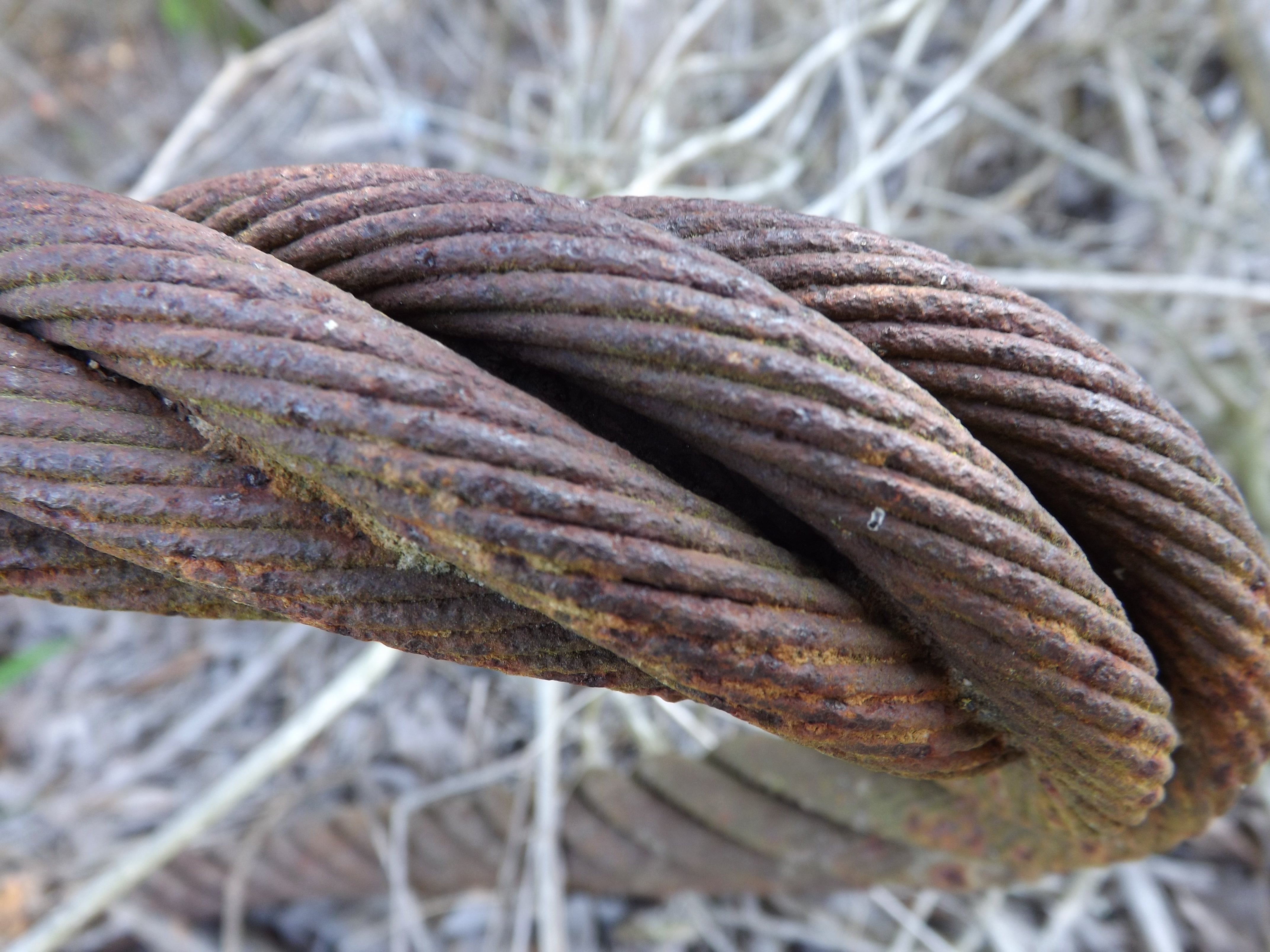
Rusted Cable 1of3
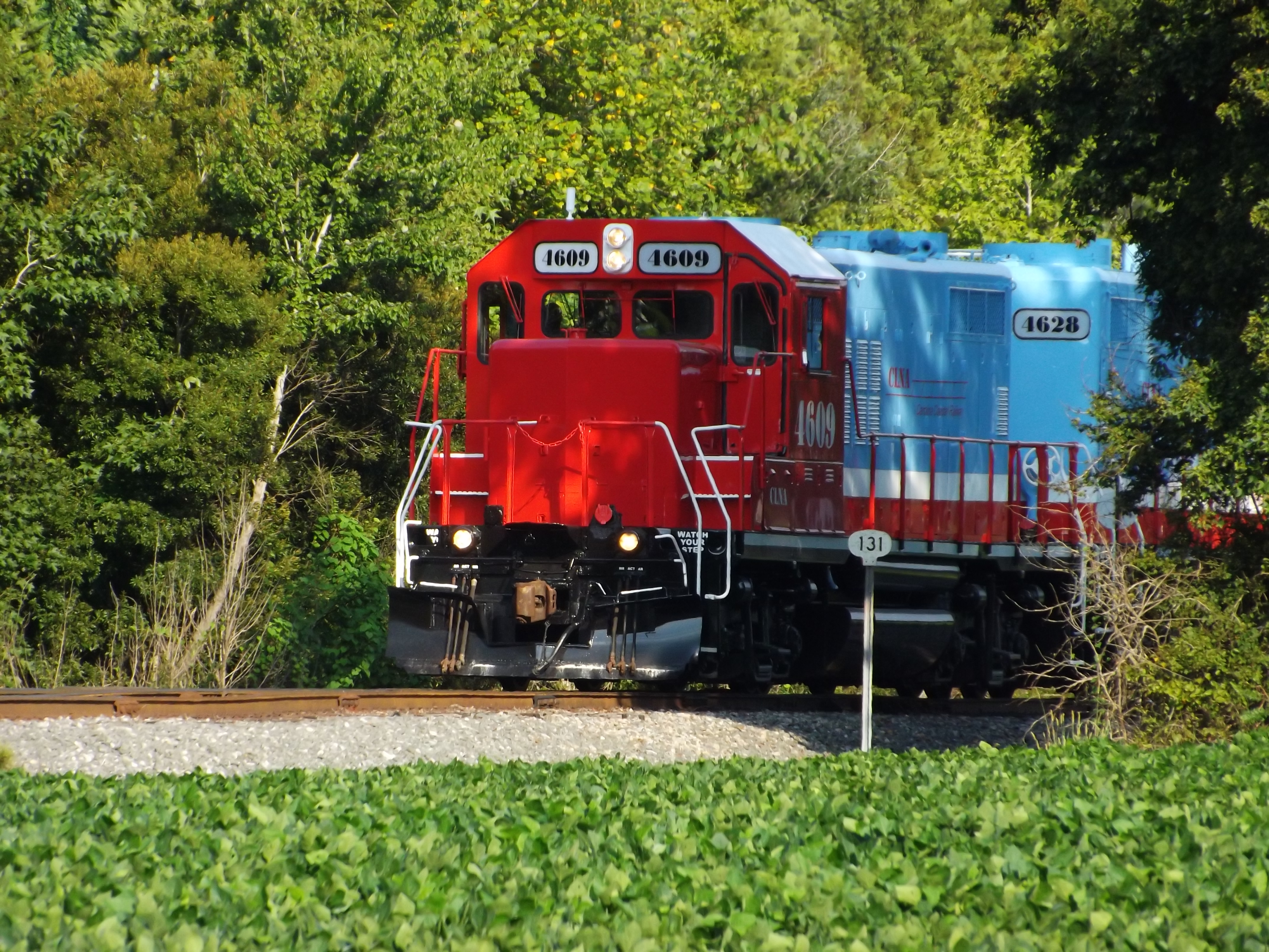
CLNA 120-10
Topographic Map of Chicod, NC, USA
Find elevation by address:

Places in Chicod, NC, USA:
Blackjack-Simpson Rd, Greenville, NC, USA
NC-43, Ayden, NC, USA
NC-43, Greenville, NC, USA
NC-43, Greenville, NC, USA
Blackjack-Simpson Rd, Greenville, NC, USA
Ivy Rd, Greenville, NC, USA
Greenville, NC, USA
Places near Chicod, NC, USA:
NC-43, Greenville, NC, USA
NC-43, Ayden, NC, USA
3741 Clarks Farm
Blackjack-Simpson Rd, Greenville, NC, USA
Swift Creek
2554 Doc Loftin Rd
County Home Rd, Ayden, NC, USA
900 Riverside Rd
4017 Us-17
1114 Us-17
1005 Us-17
1005 Us-17
1005 Us-17
1005 Us-17
3966 Gray Rd
3966 Gray Rd
3966 Gray Rd
3835 Gray Rd
Gray Road
135 Joshua Dr
Recent Searches:
- Elevation of Corso Fratelli Cairoli, 35, Macerata MC, Italy
- Elevation of Tallevast Rd, Sarasota, FL, USA
- Elevation of 4th St E, Sonoma, CA, USA
- Elevation of Black Hollow Rd, Pennsdale, PA, USA
- Elevation of Oakland Ave, Williamsport, PA, USA
- Elevation of Pedrógão Grande, Portugal
- Elevation of Klee Dr, Martinsburg, WV, USA
- Elevation of Via Roma, Pieranica CR, Italy
- Elevation of Tavkvetili Mountain, Georgia
- Elevation of Hartfords Bluff Cir, Mt Pleasant, SC, USA