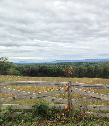
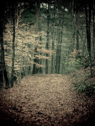
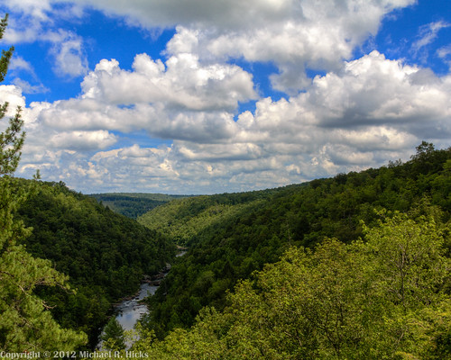
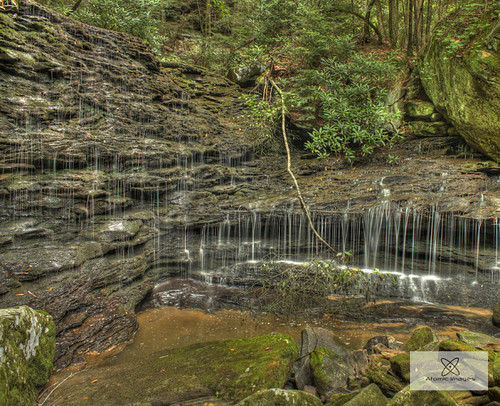
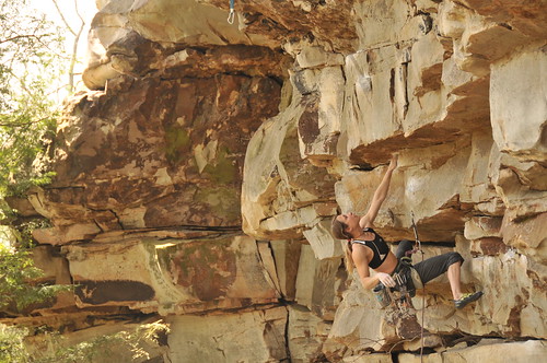
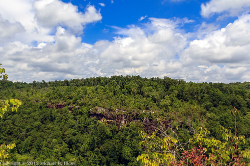
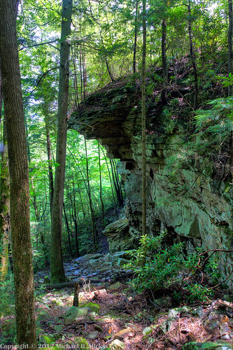
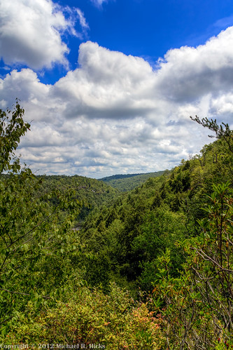
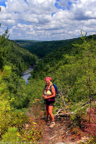
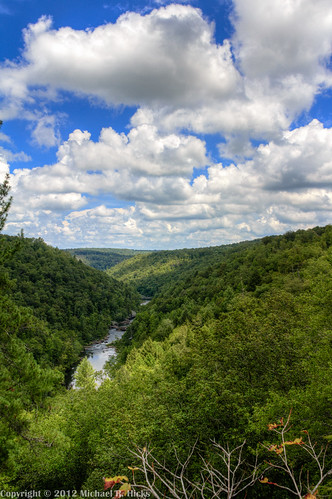
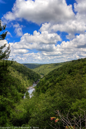
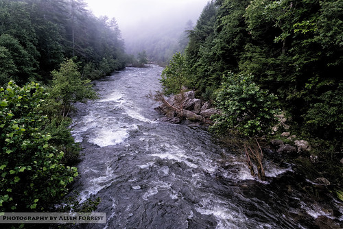
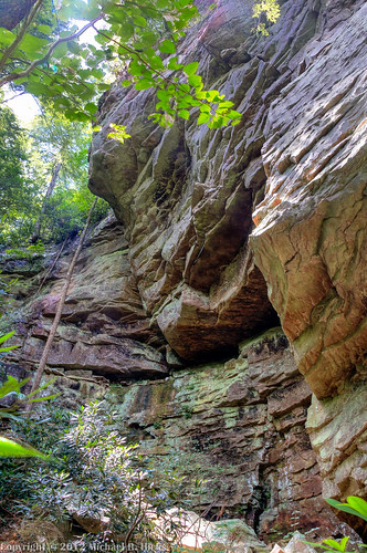
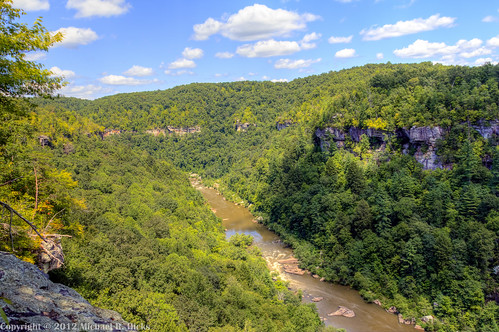
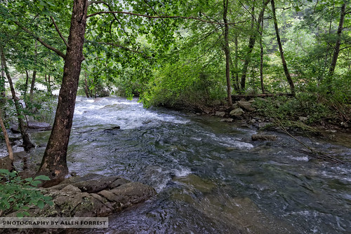
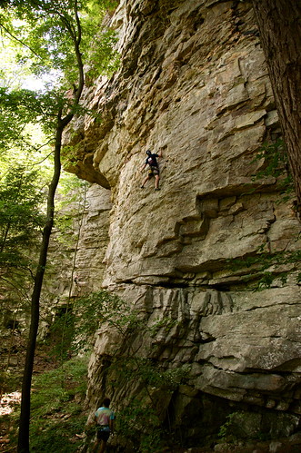
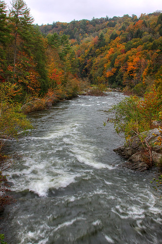
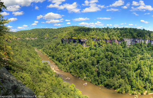
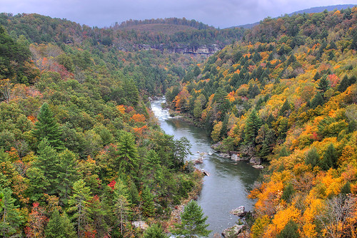
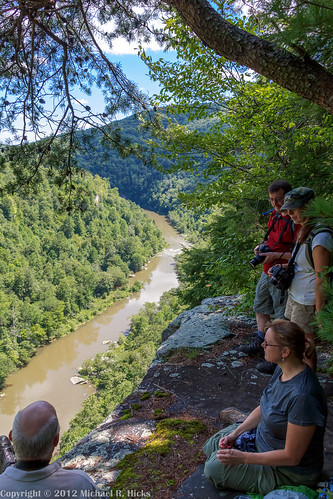
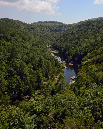
Elevation of Chestnut Ridge Road, Chestnut Ridge Rd, Deer Lodge, TN, USA
Location: United States > Tennessee > Morgan County > Deer Lodge >
Longitude: -84.8455729
Latitude: 36.1557509
Elevation: 499m / 1637feet
Barometric Pressure: 0KPa
Related Photos:
Topographic Map of Chestnut Ridge Road, Chestnut Ridge Rd, Deer Lodge, TN, USA
Find elevation by address:

Places near Chestnut Ridge Road, Chestnut Ridge Rd, Deer Lodge, TN, USA:
174 Claude Howard Rd
233 Scott Wyatt Rd
4283 Nashville Hwy
4283 Nashville Hwy
4283 Nashville Hwy
991 Ett Brown Rd
White Creek Loop
133 Walnut Dr
170 White Creek Ct
1765 Genesis Rd
Frankfort Rd, Lancing, TN, USA
Genesis Rd, Crossville, TN, USA
2115 Deer Lodge Hwy
Deer Lodge
1499 Rome Rd
1500 Deer Lodge Hwy
1419 Rome Rd
48 Holly Ln
20 Westridge Cir
20 Westridge Cir
Recent Searches:
- Elevation of Sullivan Hill, New York, New York, 10002, USA
- Elevation of Morehead Road, Withrow Downs, Charlotte, Mecklenburg County, North Carolina, 28262, USA
- Elevation of 2800, Morehead Road, Withrow Downs, Charlotte, Mecklenburg County, North Carolina, 28262, USA
- Elevation of Yangbi Yi Autonomous County, Yunnan, China
- Elevation of Pingpo, Yangbi Yi Autonomous County, Yunnan, China
- Elevation of Mount Malong, Pingpo, Yangbi Yi Autonomous County, Yunnan, China
- Elevation map of Yongping County, Yunnan, China
- Elevation of North 8th Street, Palatka, Putnam County, Florida, 32177, USA
- Elevation of 107, Big Apple Road, East Palatka, Putnam County, Florida, 32131, USA
- Elevation of Jiezi, Chongzhou City, Sichuan, China
- Elevation of Chongzhou City, Sichuan, China
- Elevation of Huaiyuan, Chongzhou City, Sichuan, China
- Elevation of Qingxia, Chengdu, Sichuan, China
- Elevation of Corso Fratelli Cairoli, 35, Macerata MC, Italy
- Elevation of Tallevast Rd, Sarasota, FL, USA
- Elevation of 4th St E, Sonoma, CA, USA
- Elevation of Black Hollow Rd, Pennsdale, PA, USA
- Elevation of Oakland Ave, Williamsport, PA, USA
- Elevation of Pedrógão Grande, Portugal
- Elevation of Klee Dr, Martinsburg, WV, USA
