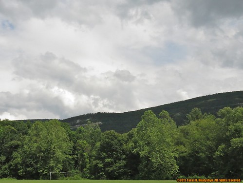
Elevation of Chestnut Ridge Rd, Bloomingburg, NY, USA
Location: United States > New York > Sullivan County > Mamakating > Bloomingburg >

Longitude: -74.444416

Latitude: 41.5480222

Elevation: -10000m / -32808feet

Barometric Pressure: 295KPa

Elevation Map:

elevation map of Chestnut Ridge Rd, Bloomingburg, NY, USA
Satellite Map:

Satellite map of Chestnut Ridge Rd, Bloomingburg, NY, USA
Related Photos:

windows newyork colors skyline view manhattan textures chryslerbuilding infinestyle memoriesbook memoriesbook5 bestofmywinners magicunicornverybest magicunicornmasterpiece magiayfotografia
The colors of Manhattan
road sepia powerlines canon55250mmislens
Lines Along A Straight Road
cragsmoor newyork catskill mountain stone church night dark light painting summer
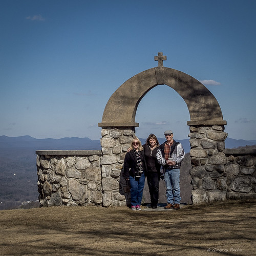
The Old Stone Church
bear sunset cliff ny evening catskill cragsmoor shawangunk
Bear Cliff [Explore]
snow ice landscape swamp wetlands odc yourweather canong15
Clouds Moving In Over The Bashakill *Explore*
stone church night star trails sky dark
Trailing the Heavens
abandoned tunnel ow sullivancountyny newyorkontarioandwesternrailroad bloomingburgny
Looking Out
dog animal truck iphone5
Waiting For His Driver
abandoned tunnel ow sullivancountyny newyorkontarioandwesternrailroad bloomingburgny
Looking In
abandoned tunnel ow sullivancountyny newyorkontarioandwesternrailroad wurtsborony
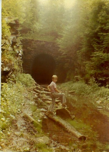
Me at the Wurtsboro Portal
winter leaves sepia bashakill canon55250mmislens
Withered Leaves
bokeh octoberfest odt throughahole iphone4
Octoberfest Bubbles
new york old sunset sky sun mountain ny mountains church stone evening air overlook soe catskill cragsmoor shawangunk ellenville platinumheartaward photographyforrecreationclassic
Mountain Sunset
road new york ny ontario abandoned nature forest train high woods track view hiking path walk rail tunnel hike trail western ow wurtsboro cragsmoor
Remnants of an Abandoned Railroad
waterfall bashakill sullivancountyny
Waterfall 2
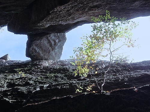
blue sky tree up rocks view perspective catskills slot
Slot Perspective
naturalframing odc graphicconverter barndoors canons3is gloomfilter
Barn Door Handles
vacation orange car musclecar odc iphone5 cheveroletcamaross
Vacation To 1969
blackandwhite building abandoned sacrifice odc housee canon35mmf2lens
Sacrificed To Time
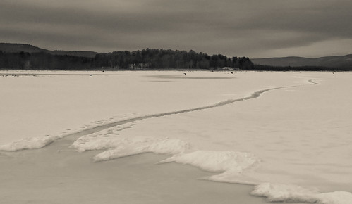
blackandwhite snow ice landscape swamp wetlands bashakill canong15
Path Into An Icy Lake
sunset newyork nature unitedstates thenatureconservancy thegunks shawangunkridge travelerphotos openspaceinstitute samspointnaturepreserve photocontesttnc10
Sam's Point
trees usa lake ny newyork ice nature water us unitedstatesofamerica ngc rockhill majkakmecova motorolaxt1023
Rock Hill
trees bw usa sun lake newyork ice water sunshine mirror us unitedstatesofamerica rockhill unlimitedphotos majkakmecova motorolaxt1023
sun in the mirror
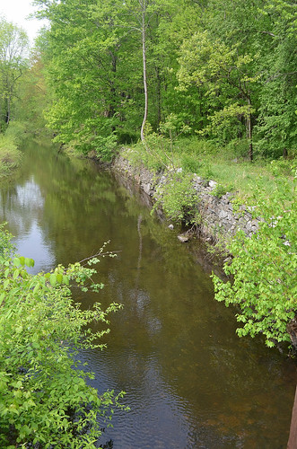
abandoned canal sullivancountyny delawareandhudsoncanal philipsportny
Around Lock 20 D&H Canal
autumn cragsmoorny fallfoliage shawangunkridge afternoonlight bearhillpreserve gunks newyork pinebushny cloudy
UNSTOPPABLE FORCE
lake water reflections landscape eveningsky sullivancounty wolflake tamron1024mmlens
Evening Sky Over Wolf Lake
trees pines nature bashakill canon400mmf56 canon7d
Colorful Pines
orange ny geotagged middletown maplehillpark geo:lat=41443800 geo:lon=74440900
Maple Hill Park
View to the west
cragsmoorstonechurch gunks hudsonhighlands stonechurch shawangunks sunset cragsmoorny
STONE CHURCH
mill abandoned ruin orangecountyny wawayandany
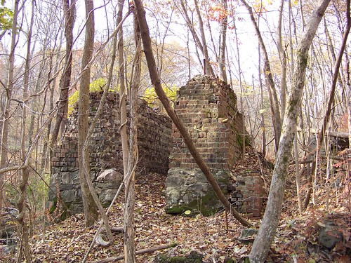
Paper Mill Ruins
fall geotagged newpaltz samspoint
Samspointae 3005
bashakill fujifilm fujixt1 sunset water xt1
Fading Sunset
Sams Point Jan's Birthday-2270002
sky usa ny ellenville
2012-06-02 at 14-27-53
square squareformat lomofi iphoneography instagramapp uploaded:by=instagram foursquare:venue=4e21fbce922e11c00664a630
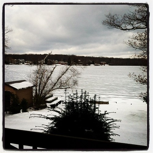
It's winter up at the lake, hooray!
10117 middletown newyork unitedstates us middletownny bobroche localguide
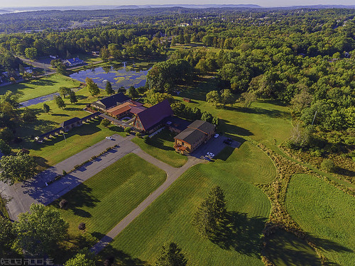
National Shrine of Our Lady of Mount Carmel