Elevation of Chesterfield, NH, USA
Location: United States > New Hampshire > Cheshire County >
Longitude: -72.449484
Latitude: 42.9030941
Elevation: 217m / 712feet
Barometric Pressure: 99KPa
Elevation Map:
Satellite Map:
Related Photos:

Brattleboro Backyards

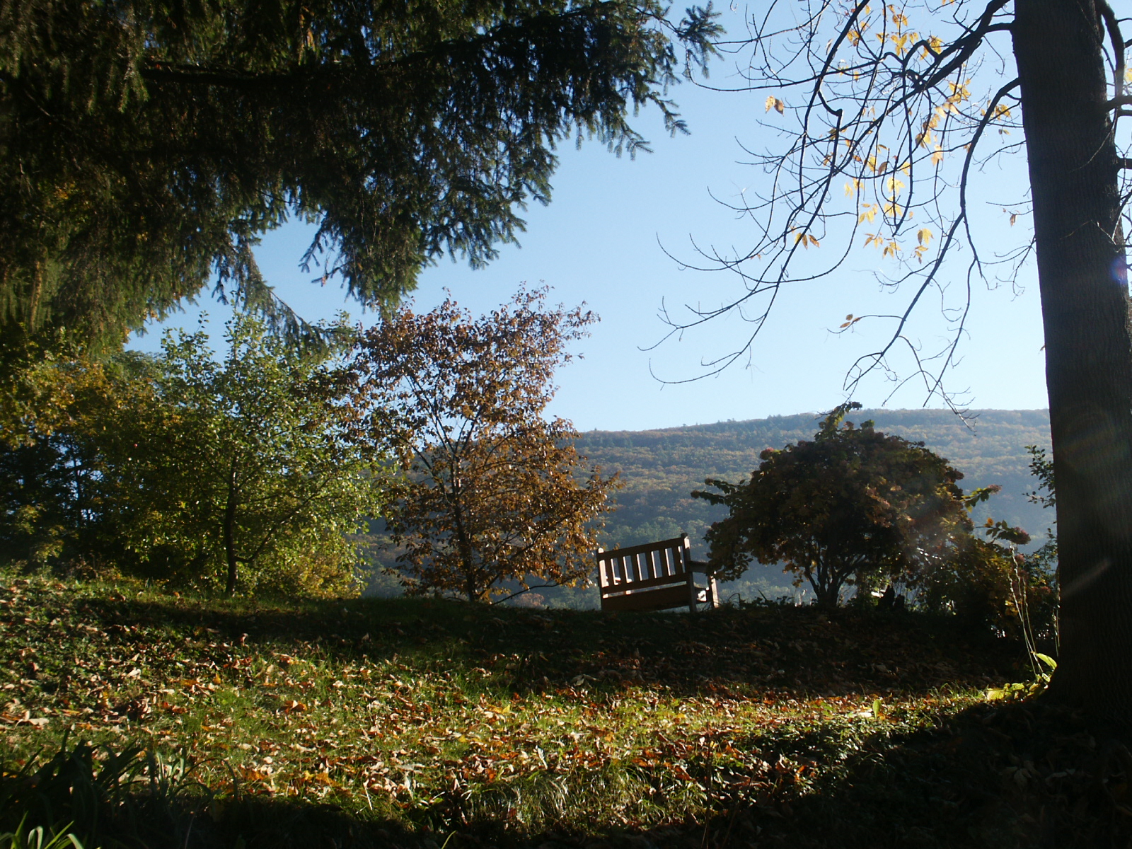
A better view

Brattleboro railroad bridge

Keene Sunset, Keene, NH

Flag on Main Street
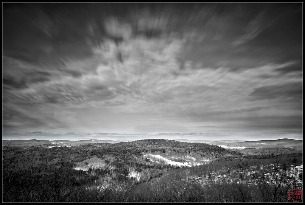
Long View

View West from Wantastiquet

Quartz - New Hampshire (4)
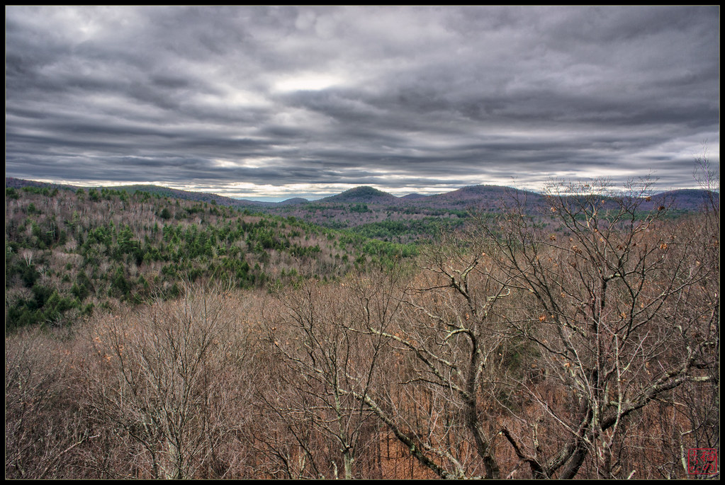
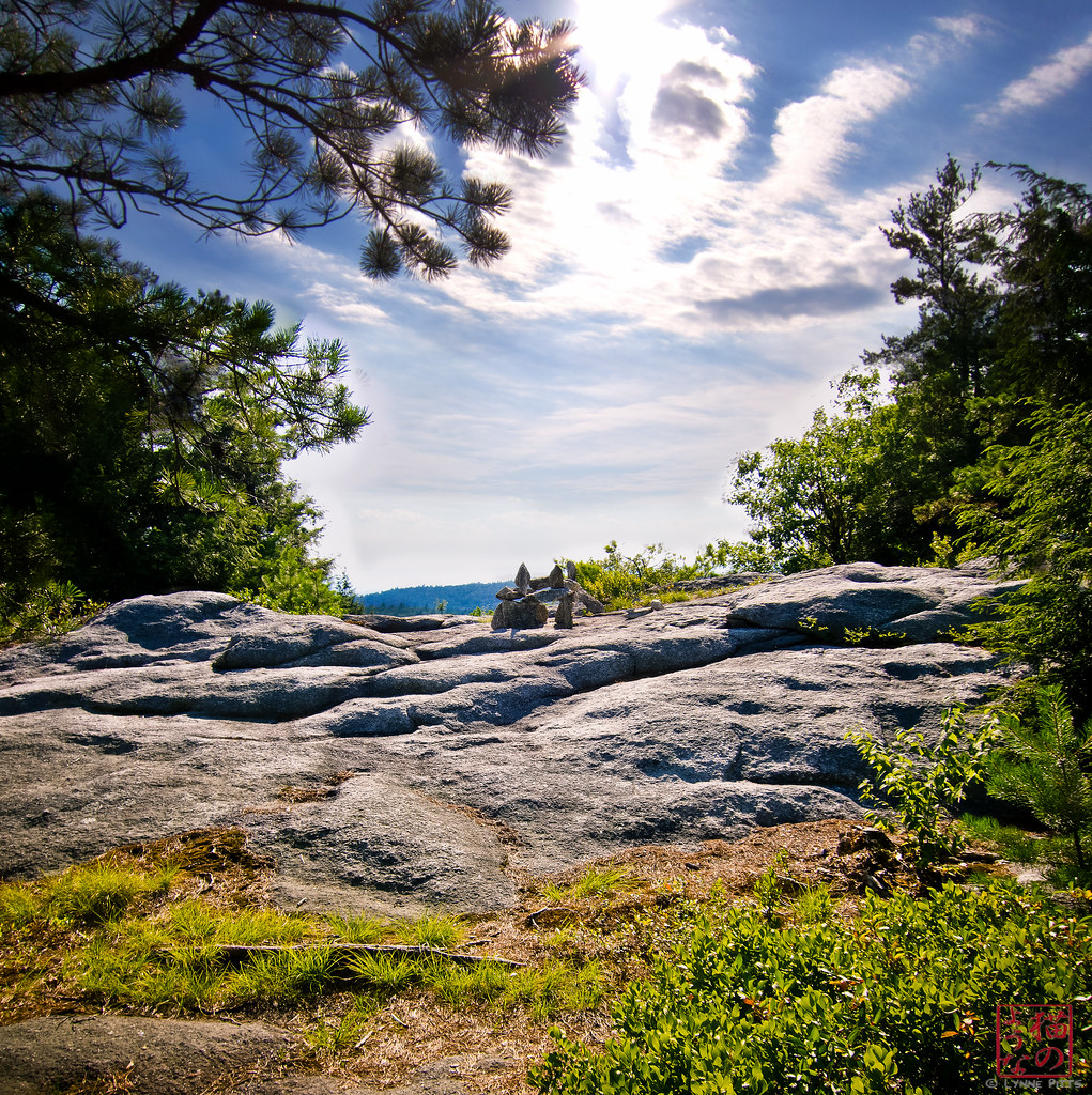
View from the Ledge
View from the loggia at Rudyard Kipling's home "Naulahka" in Dummerston,Vt.
Brattleboro overlook
Chesterfield Gorge State Park

Madame Sherri's Castle

Brattleboro ducks

Rainy day in Brattleboro
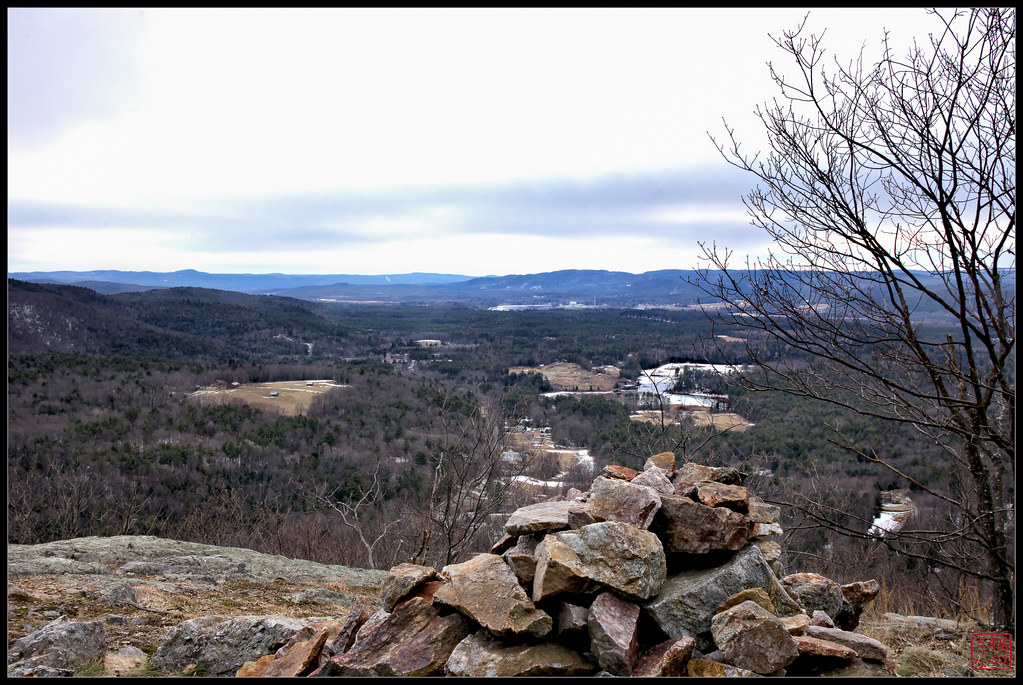
Pisgah Peak Cairn Vertorama

View West from Wantastiquet
View from Moon Ledge
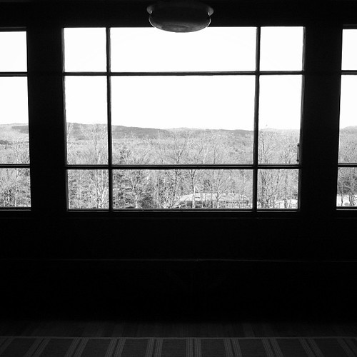
The view from the café

#gopro meet a gorgeous view. Road tripping with the fantastic #6D from the great folks at @lumoidit

Top of the ladder view of Brattleboro museum's annual dominoes setup. I had a big grin on my face for this entire shoot. Love dominoes and the 4 kids that set this all up did an awesome job. #squaredroid

The Wall
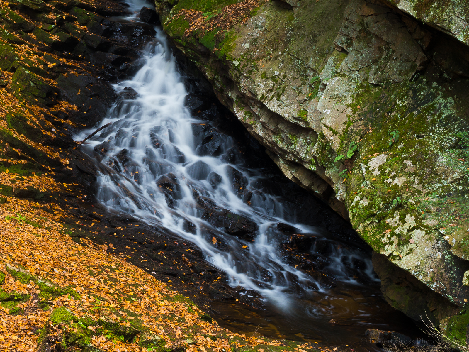
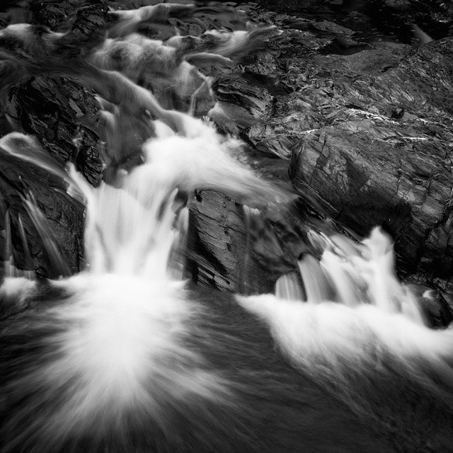
Falling Water in Southern New Hampshire

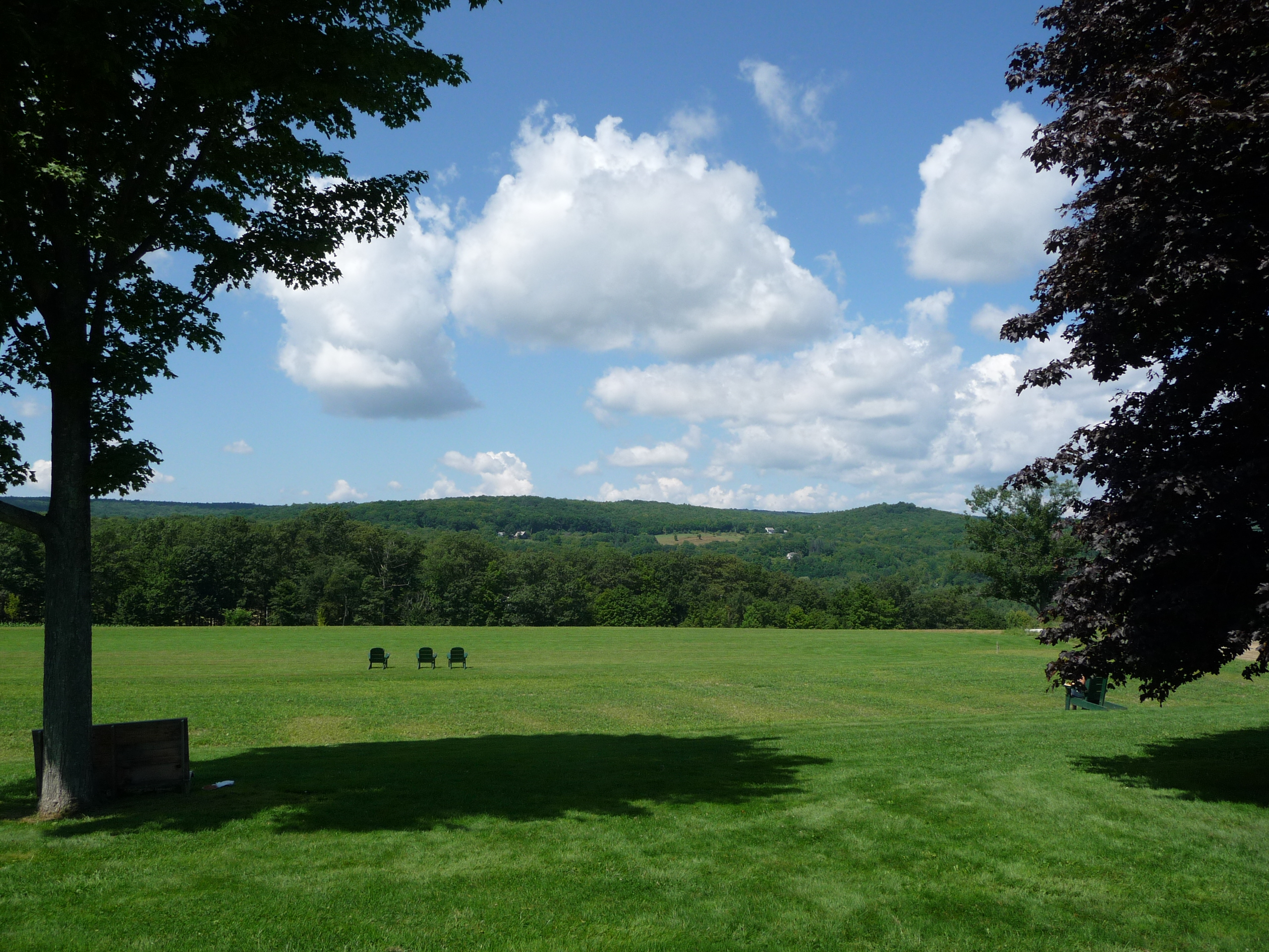
From the edge of the Harvest Festival
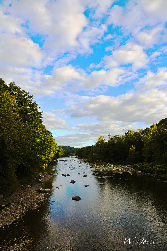
The West River
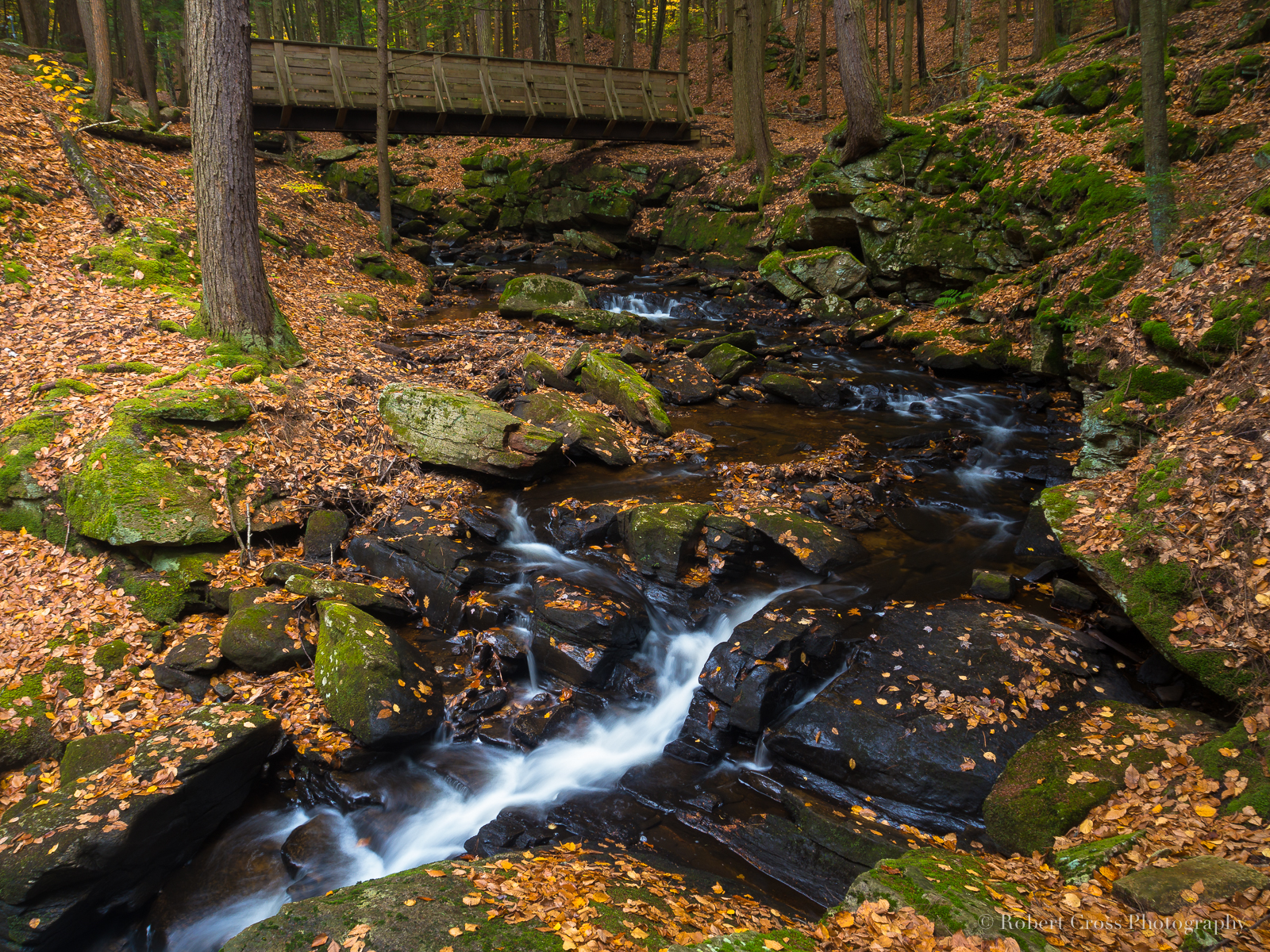
Autumn Bridge at Chesterfield Gorge

Madame Sherri's Castle Ruins
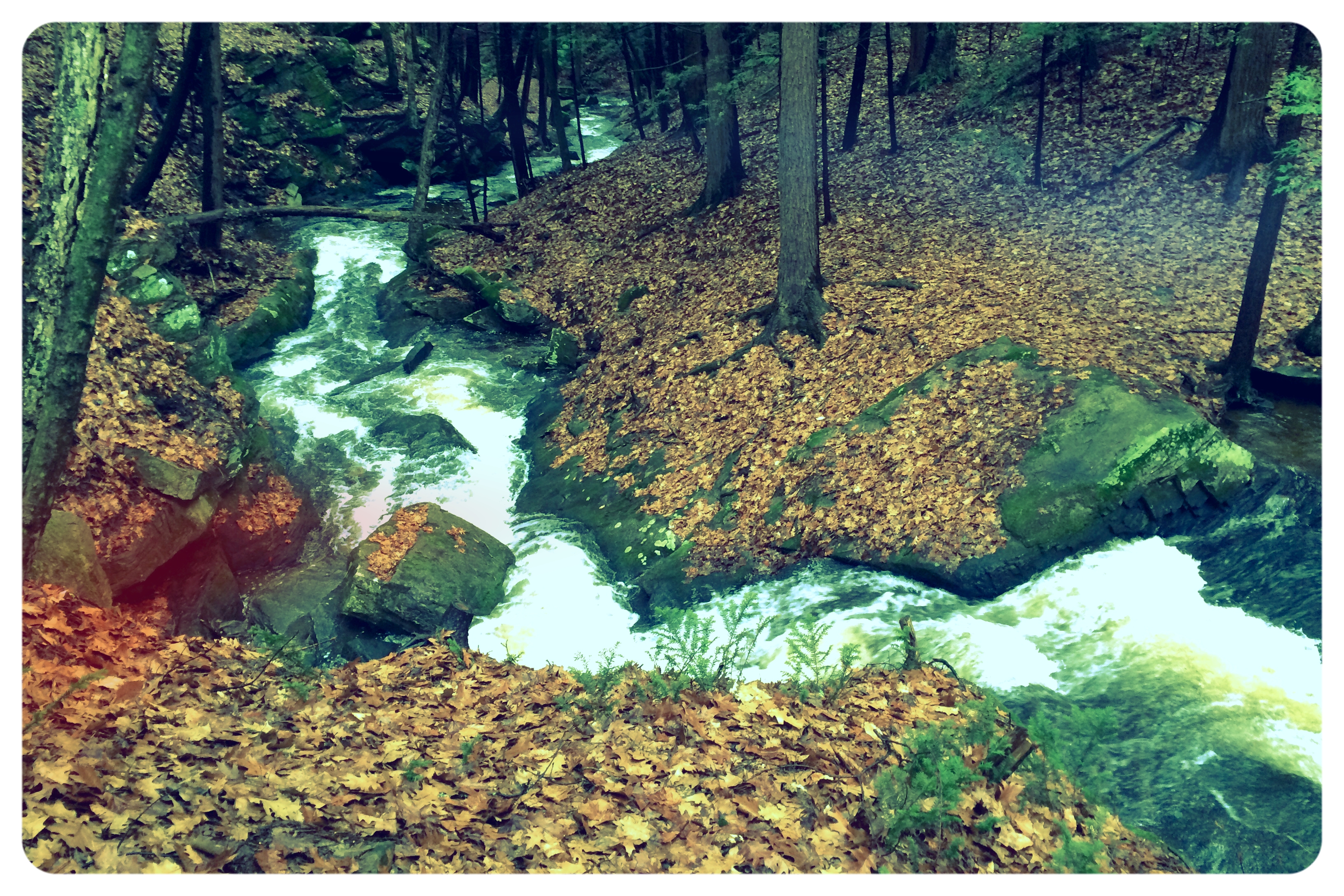
Autumn Gorge

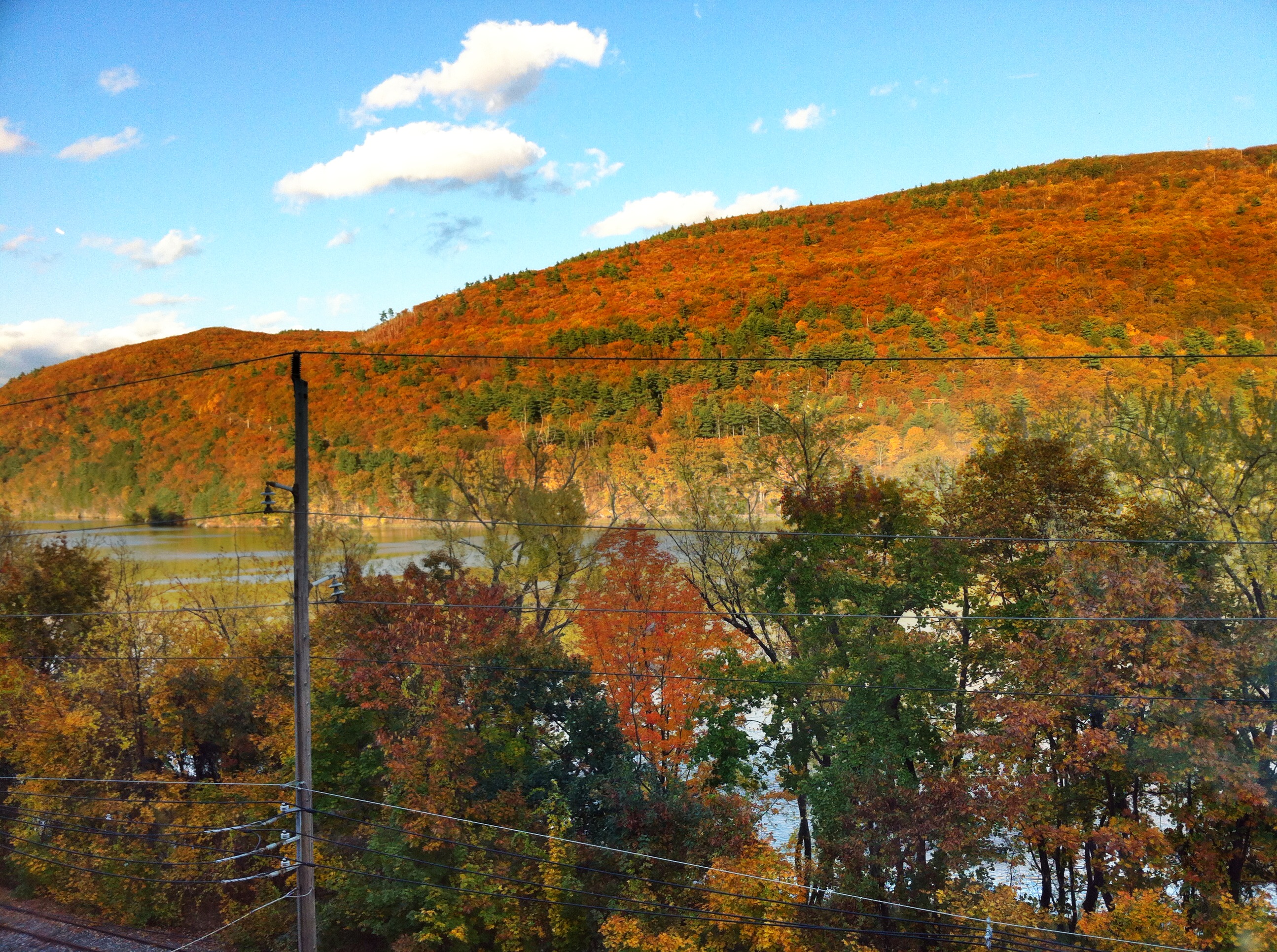
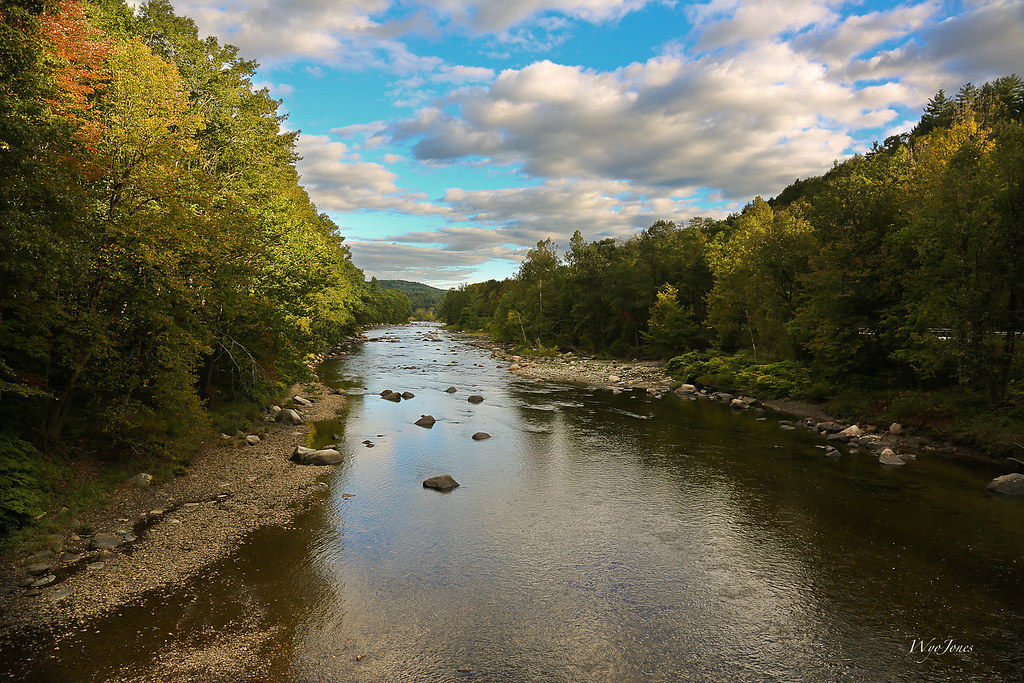
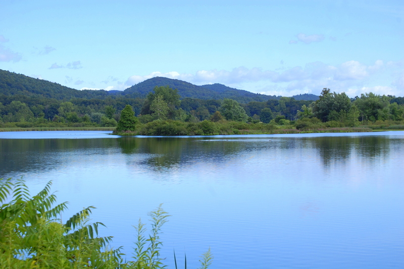
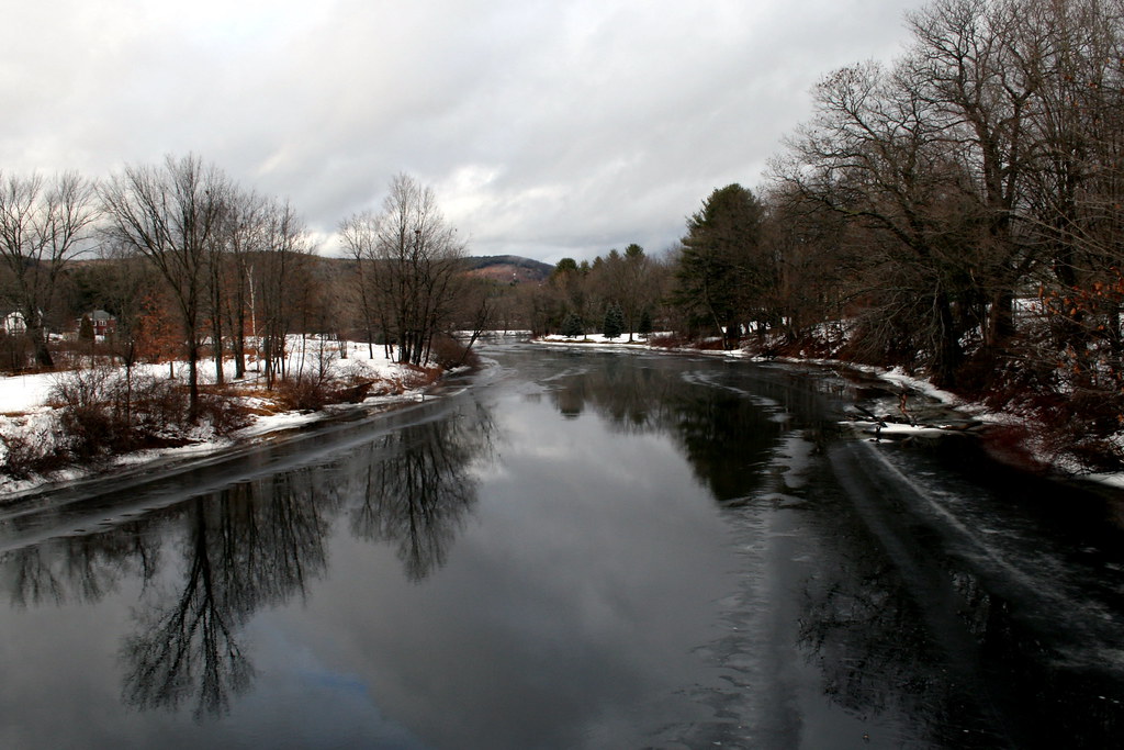
Connecticut River
Powered the revolution. #sonya7r with #metabones adapter and #sigma50art 2 second exposure and edited in #Nik

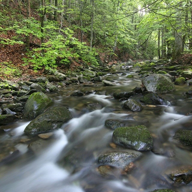
Broad Brook
Straight out of the camera #70D #tokina 11-16 @f/7.1 10seconds #longexposure #waterflow

The West River at Brattleboro
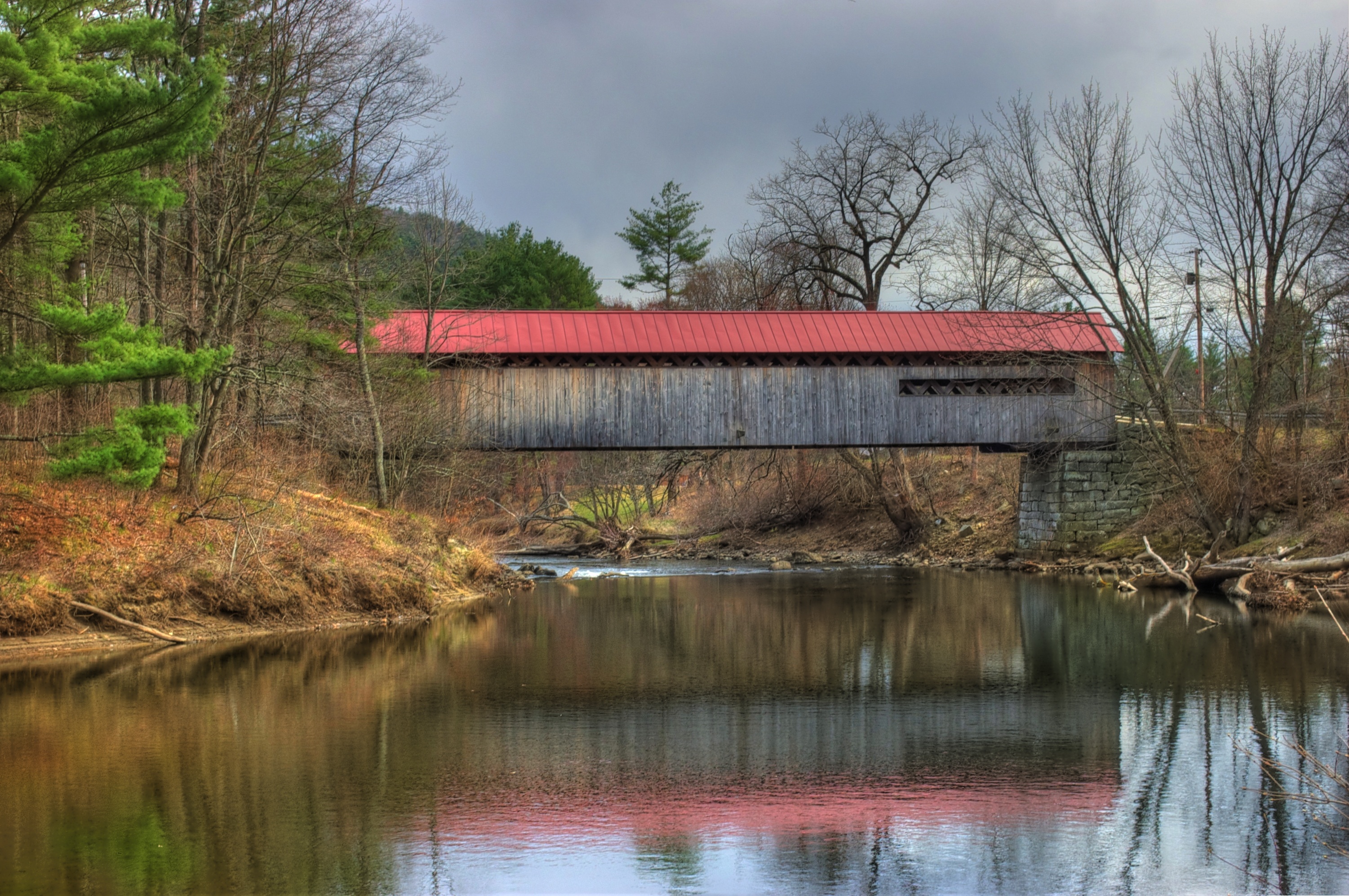
Coombs Covered Bridge
Pisgah trailhead

Jekyll Hyde Falls
River and Clouds

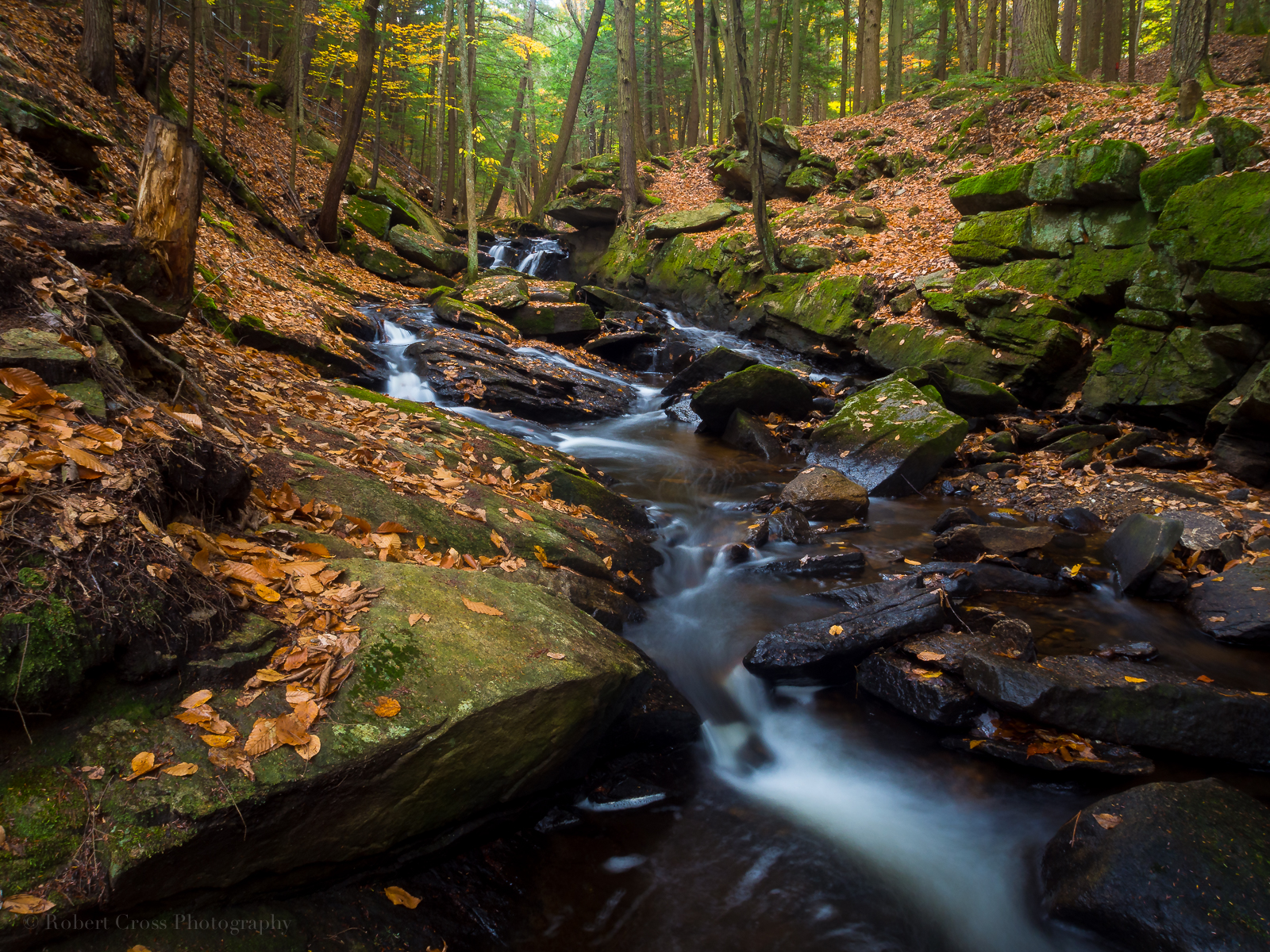
New England Autumn Forest Brook
Where West Meets East
Vermont-4641-HR-HDR
P1020079.JPG
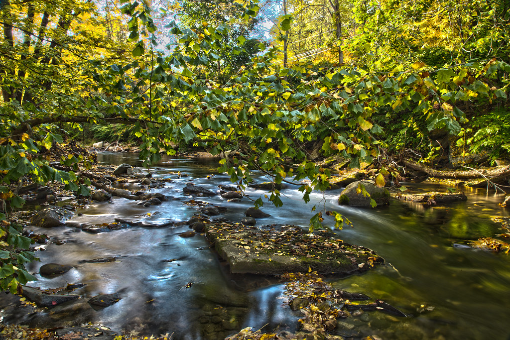
Along the Ashuelot River
Topographic Map of Chesterfield, NH, USA
Find elevation by address:

Places in Chesterfield, NH, USA:
Places near Chesterfield, NH, USA:
86 Foley Rd
92 N Shore Rd
86 Foley Rd
North Shore Road
306 Poocham Rd
323 Pond Brook Rd
323 Pond Brook Rd
Westmoreland
21 S Village Rd
45 S Village Rd, Westmoreland, NH, USA
511 Streeter Hill Rd
330 Streeter Hill Rd
345 Streeter Hill Rd
West Chesterfield
284 Hutchins Rd
161 E Putney Falls Rd
19 River Rd S
68 Earls Way
Putney
4 Kimball Hill
Recent Searches:
- Elevation of Corso Fratelli Cairoli, 35, Macerata MC, Italy
- Elevation of Tallevast Rd, Sarasota, FL, USA
- Elevation of 4th St E, Sonoma, CA, USA
- Elevation of Black Hollow Rd, Pennsdale, PA, USA
- Elevation of Oakland Ave, Williamsport, PA, USA
- Elevation of Pedrógão Grande, Portugal
- Elevation of Klee Dr, Martinsburg, WV, USA
- Elevation of Via Roma, Pieranica CR, Italy
- Elevation of Tavkvetili Mountain, Georgia
- Elevation of Hartfords Bluff Cir, Mt Pleasant, SC, USA