Elevation of Chester Rd, Grafton, VT, USA
Location: United States > Vermont > Windham County > Grafton >
Longitude: -72.595718
Latitude: 43.198437
Elevation: 327m / 1073feet
Barometric Pressure: 97KPa
Elevation Map:
Satellite Map:
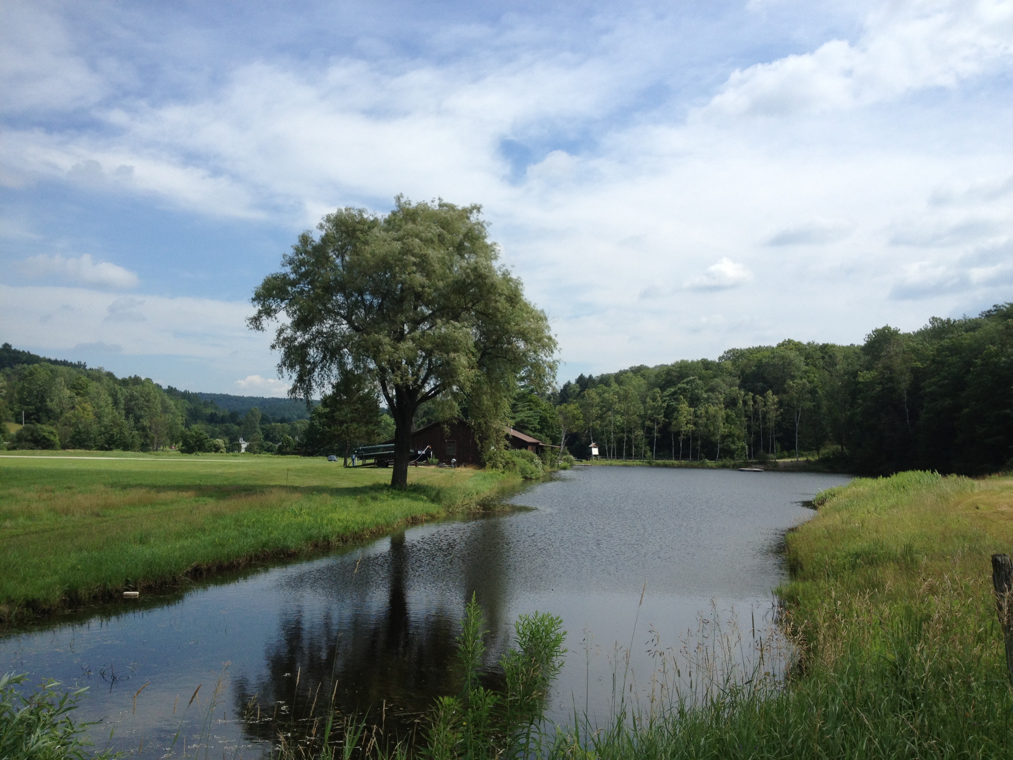
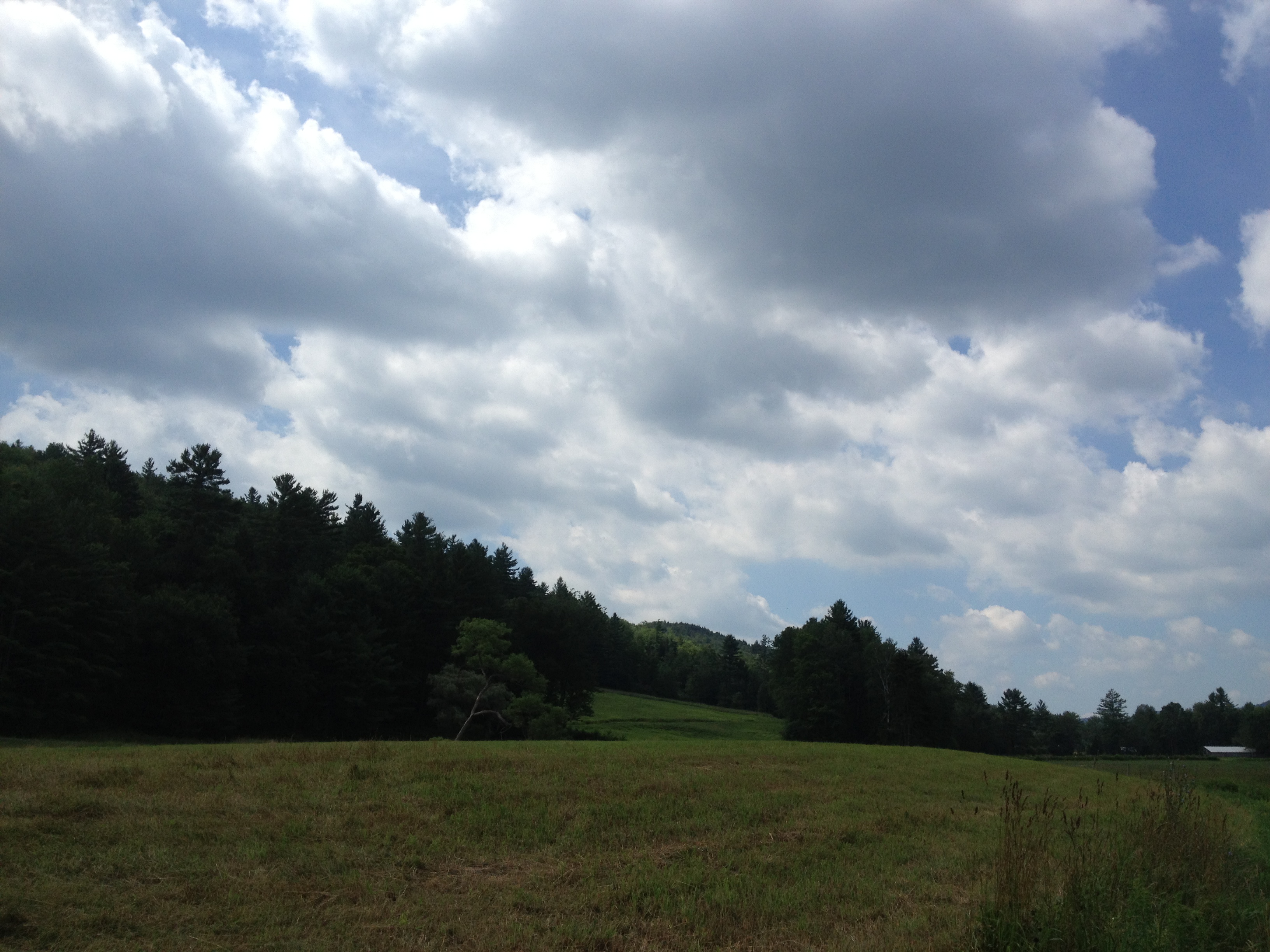
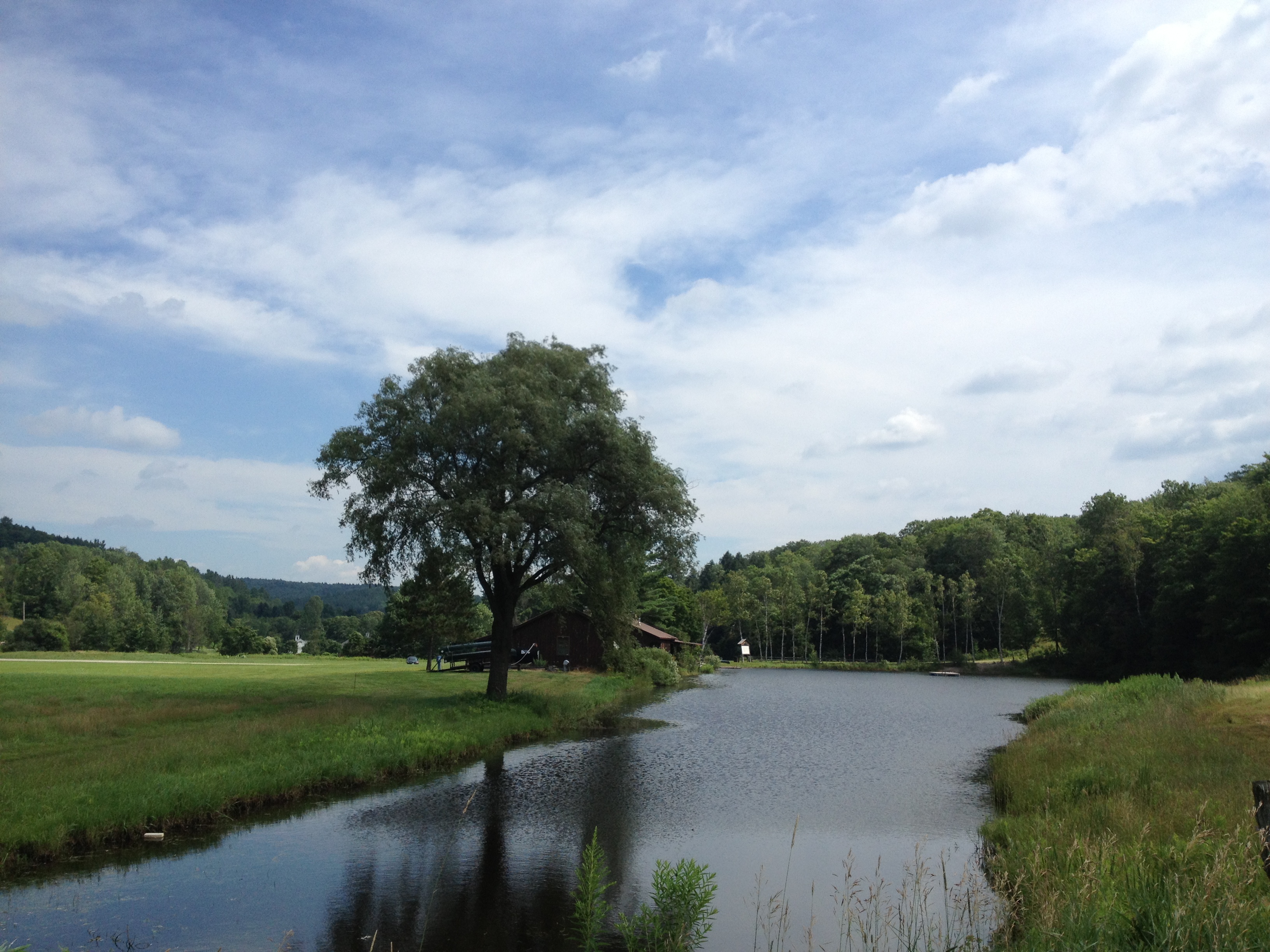
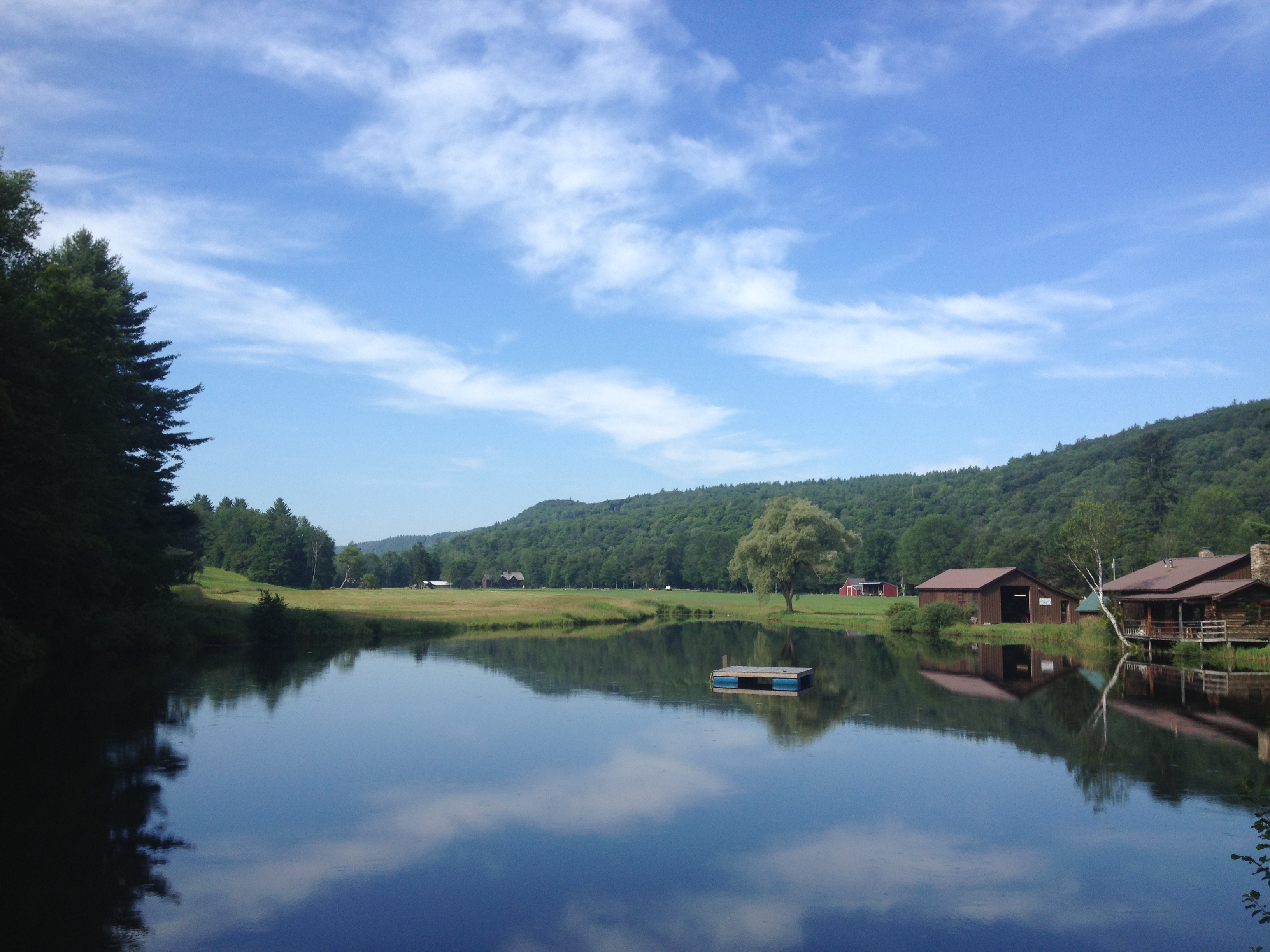
Related Photos:

Rockingham Meetinghouse

Bombus griseocollis,ocelli view, Rockingham, 5/22/2012
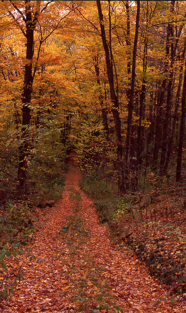
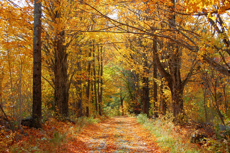
Chester VT dirt road

MY Little Chickadee!
View from the Hall

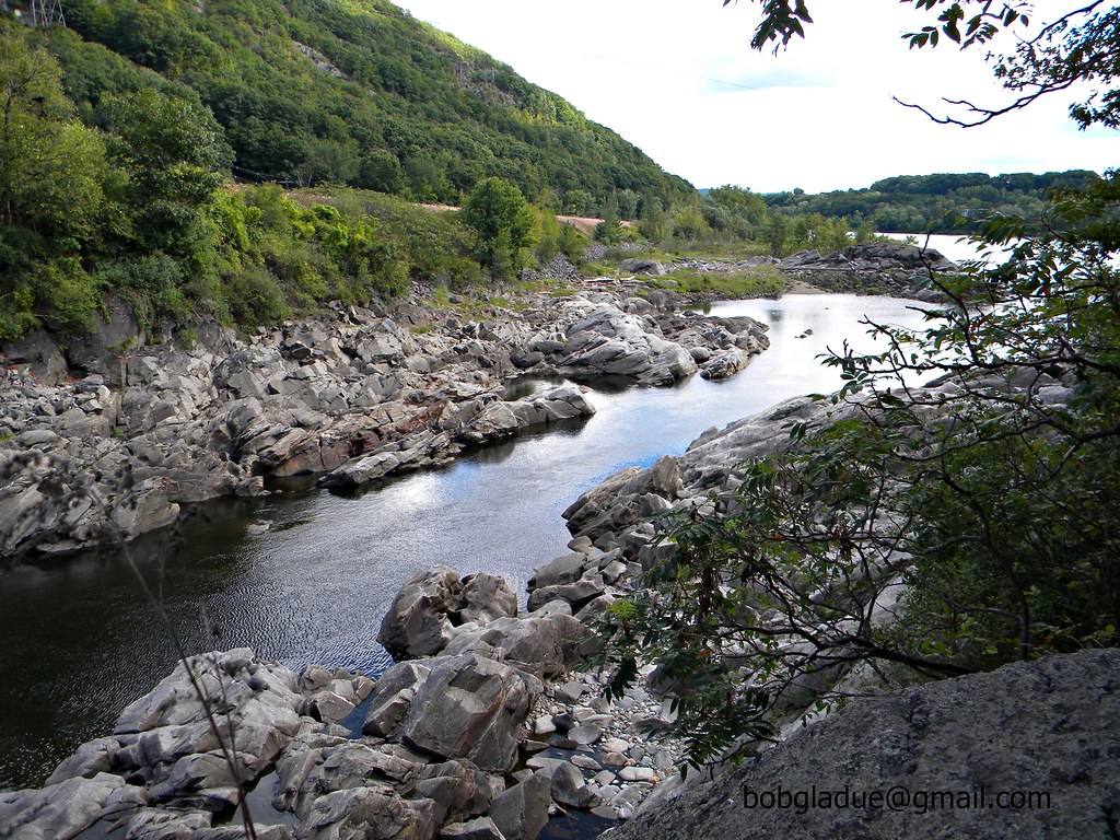
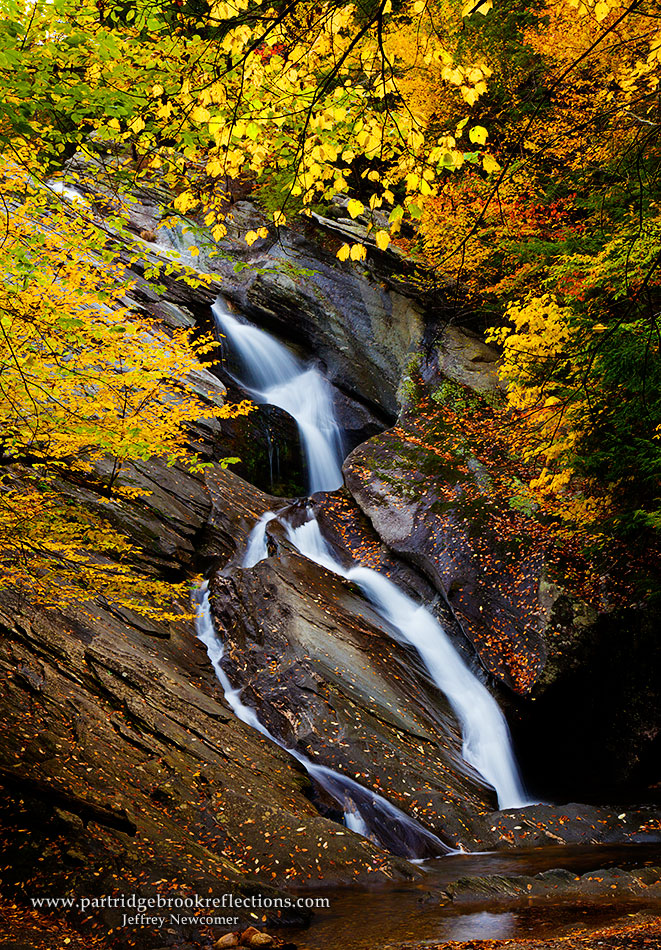
Cobb Brook

Bellows Falls Train (bus) Station

Bellows Falls Train (bus) Station

Bombus griseocollis, top view, Rockingham, 5/22/2012

Stone Village Historic District (1838-60)
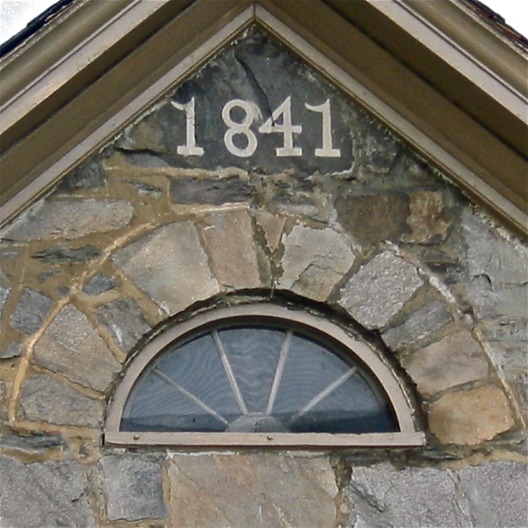
Stone Village Historic District (1838-60)

Hamilton Falls
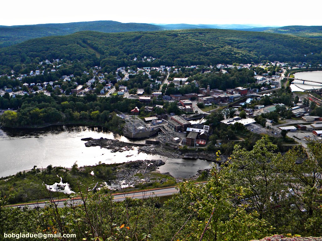
Bellows falls, vermont

Stone Village Historic District (1838-60)
Bellows falls, vermont

029/365 29-December-2012
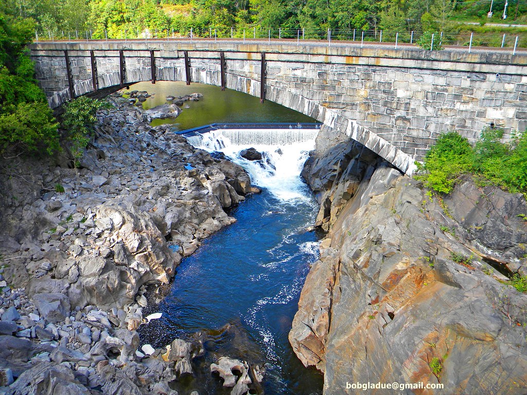
Bellows falls, vermont

Passenger's View

Bombus Bimaculatus queen
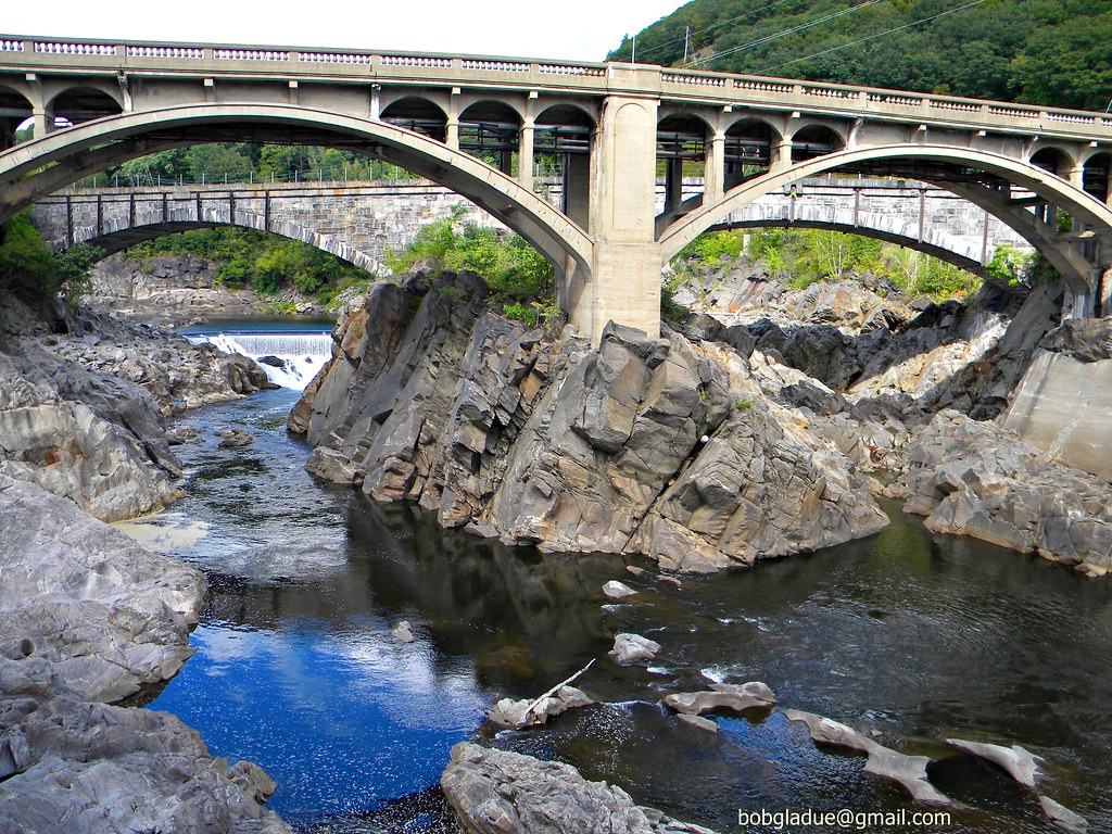
Bellows falls, vermont
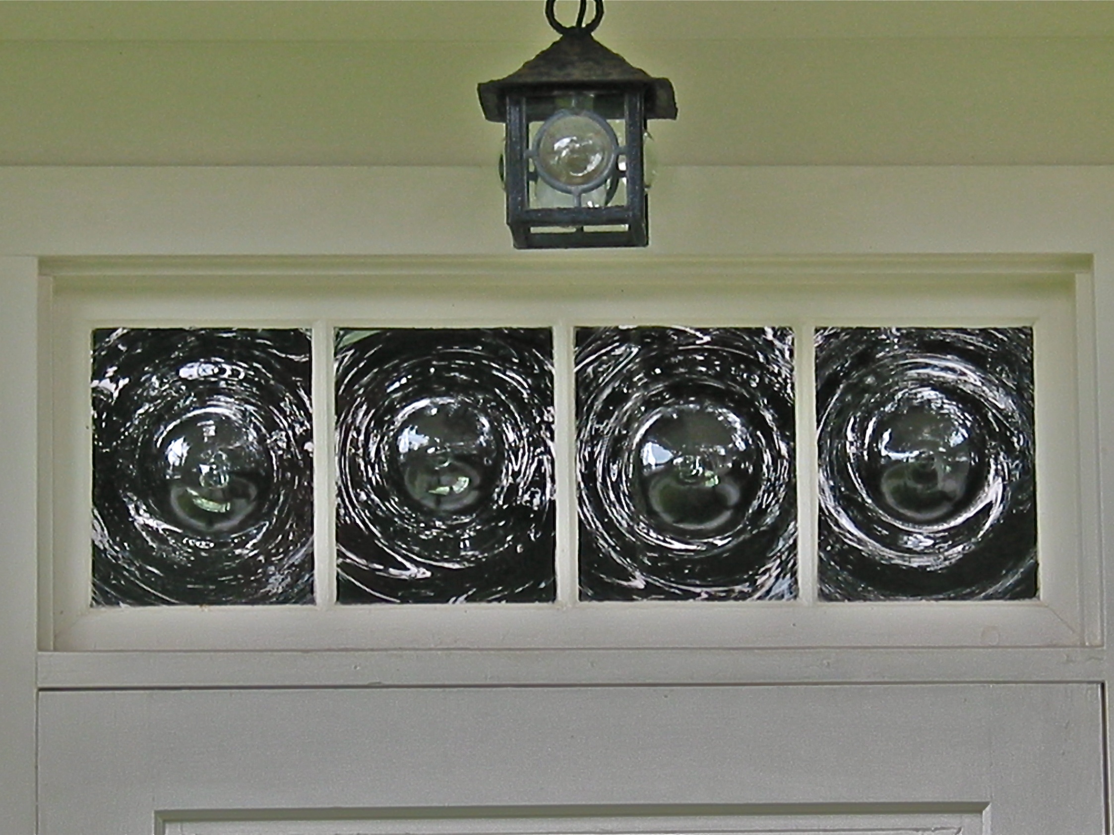
four • bullseyes :: Stone Village Historic District (1838-60) – Schoolhouse transom

Back To Town
Trees 4a
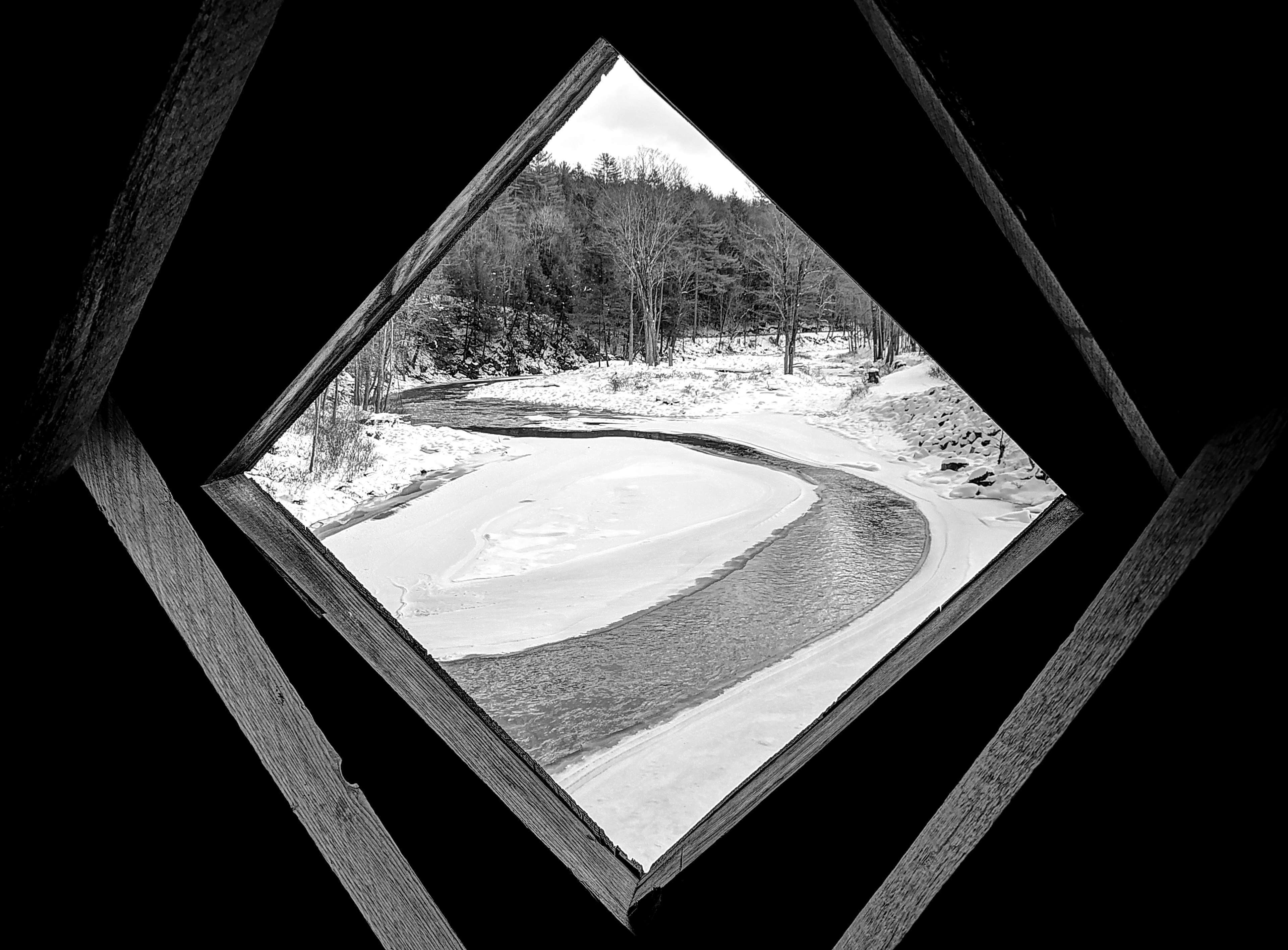
Golden Frame
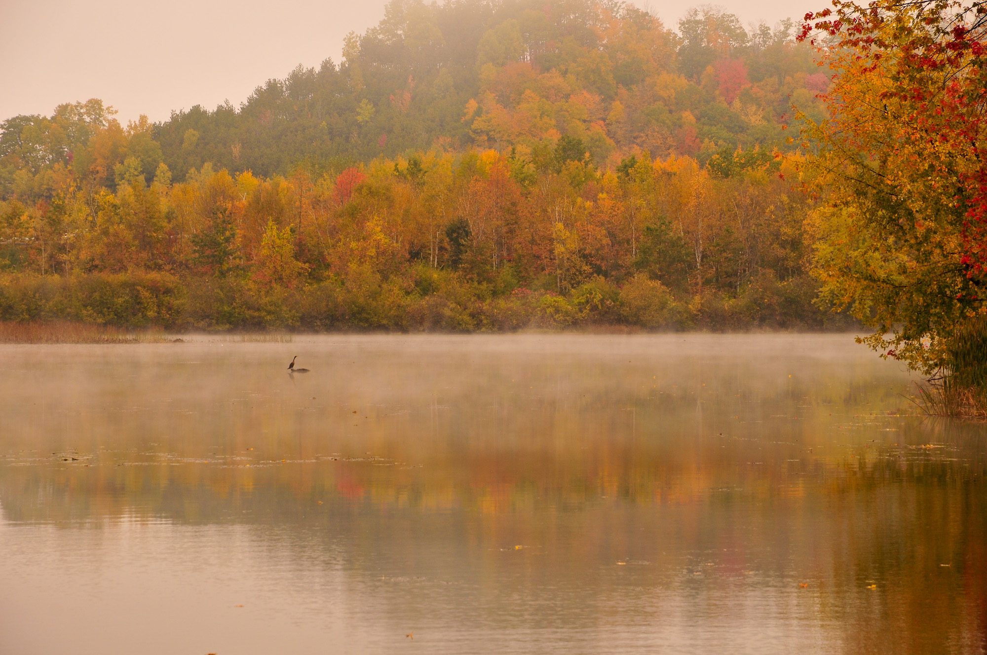
Connecticut River Backwater
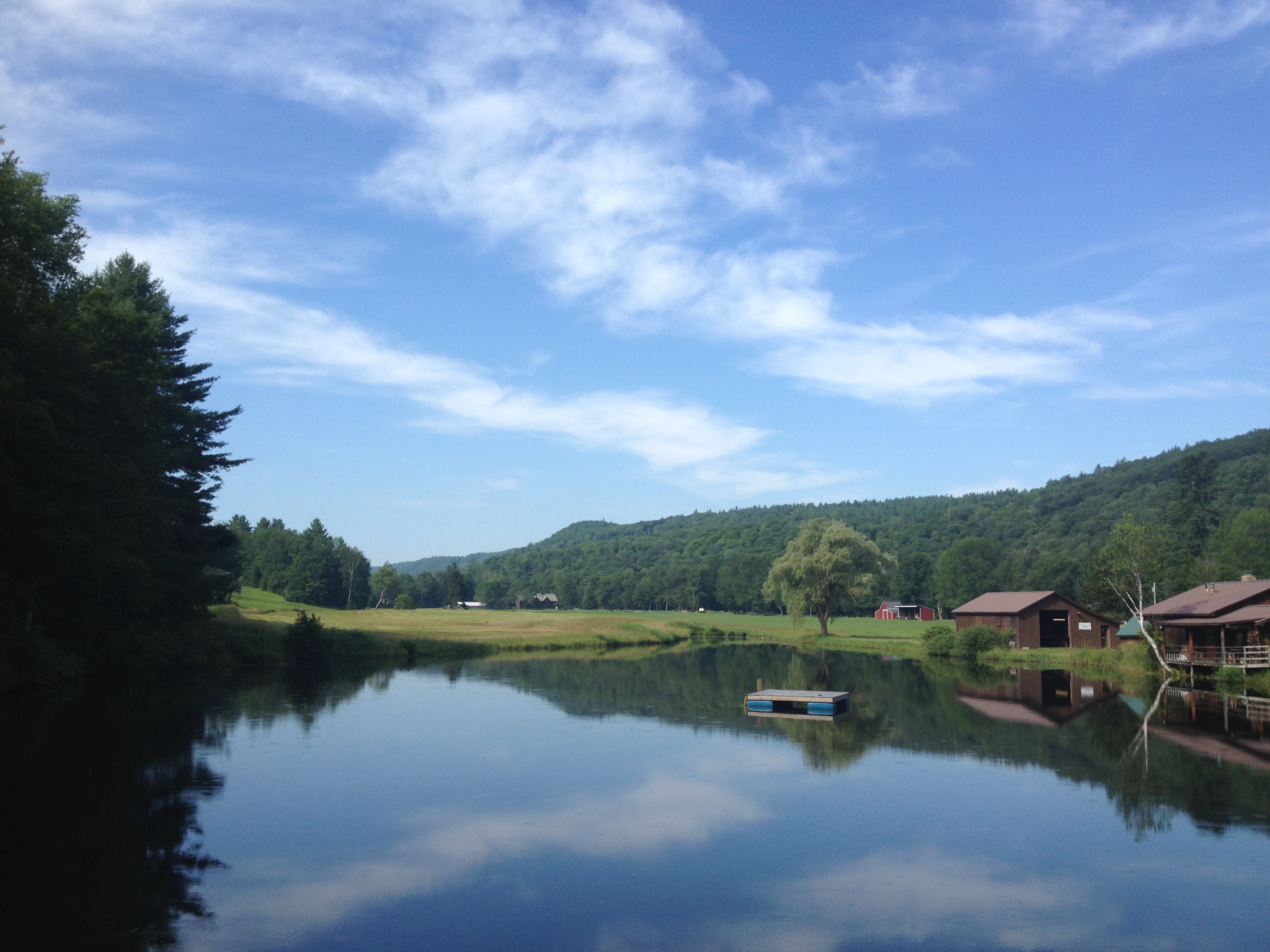
2013-07-19 10.41.48
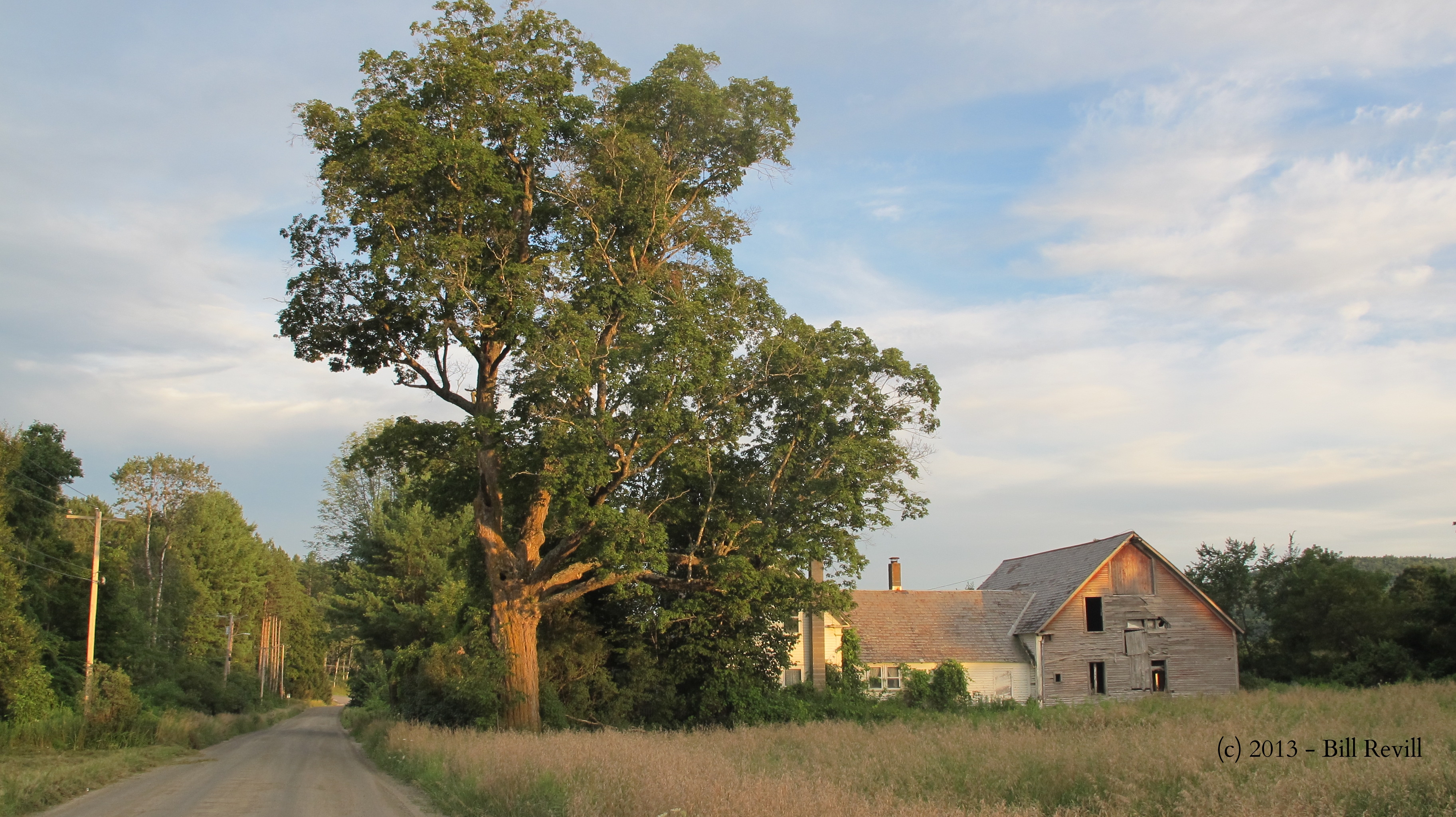
Country Roads (Explored)

2013-07-19 10.41.26
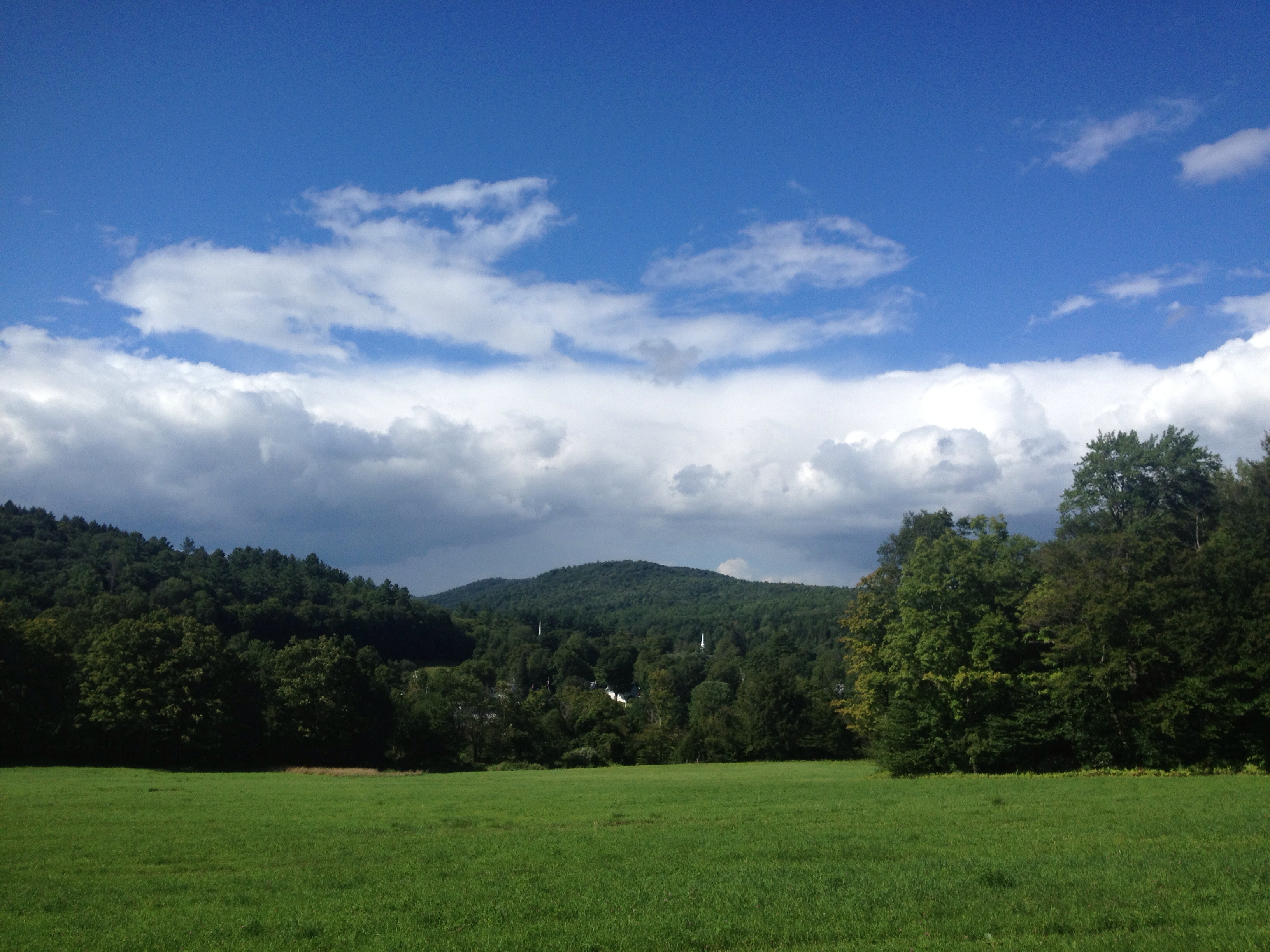
Grafton VT
2013-07-19 09.31.48
2013-07-19 09.20.13

2013-07-19 10.44.30
2013-07-19 10.44.28

2013-07-19 09.31.46
2013-07-19 10.44.09

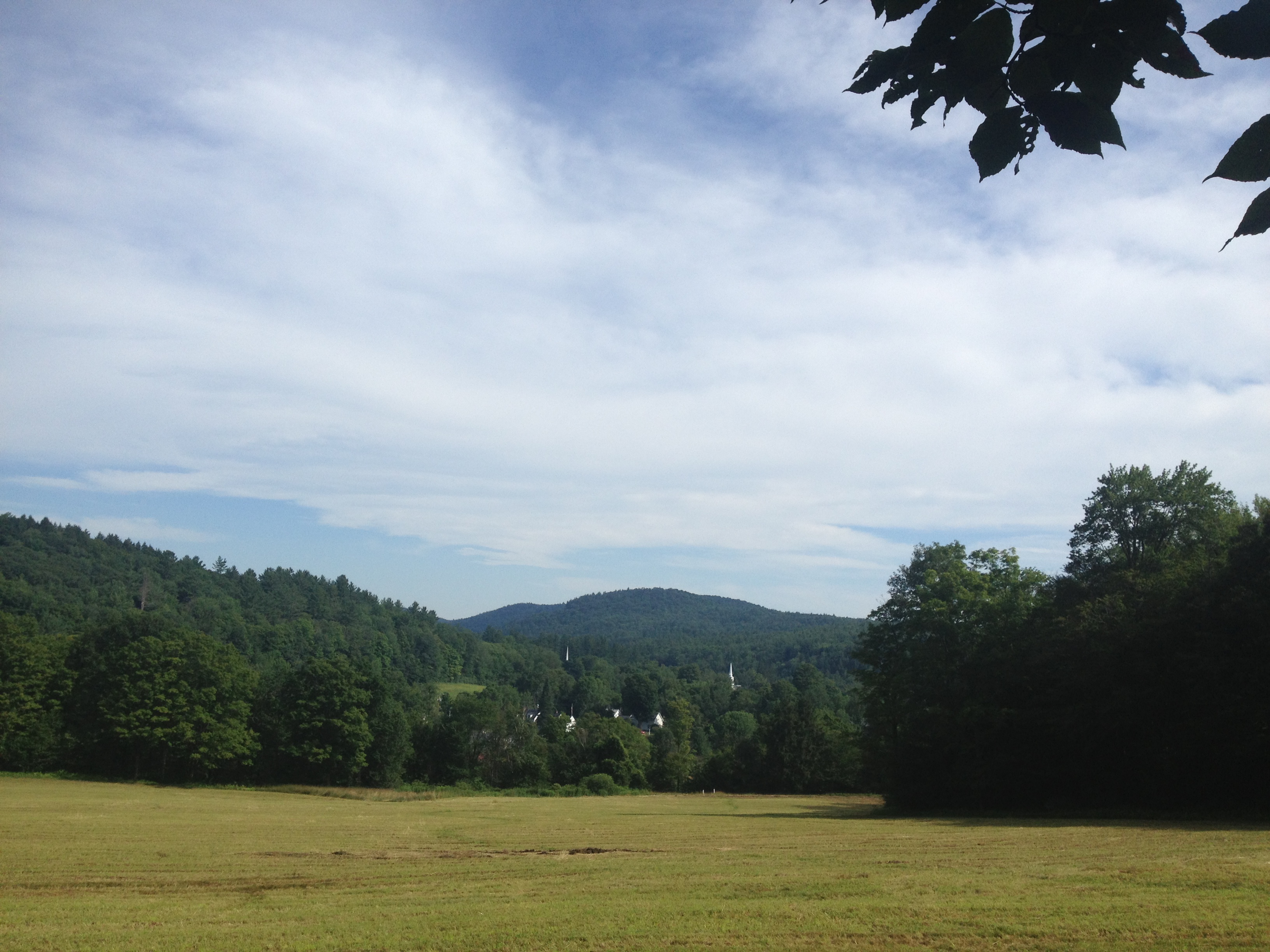
Grafton VT

2013-07-19 10.44.31-2
2013-07-19 10.44.31-1

2013-07-19 10.44.18
2013-07-19 09.20.20
2013-07-19 09.20.24

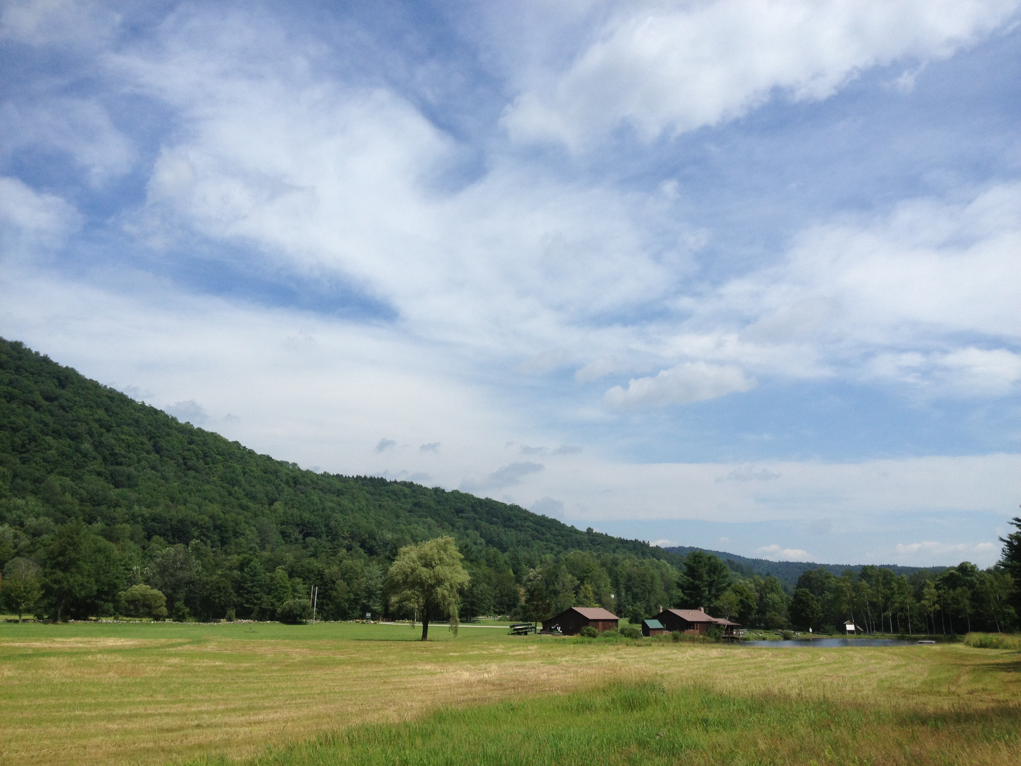
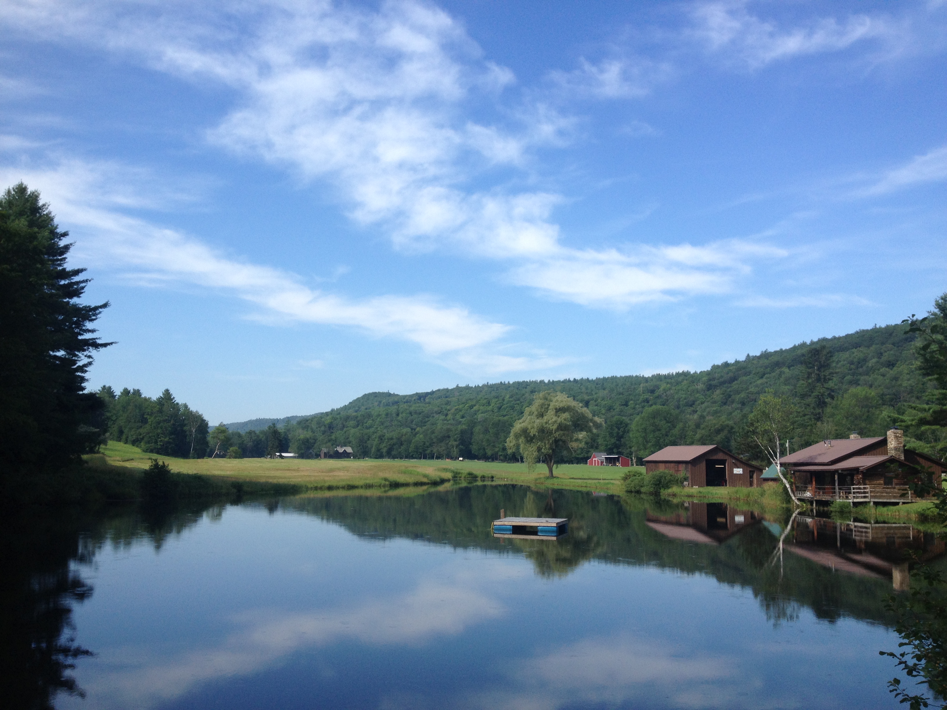
Days of Summer - Grafton, VT
Topographic Map of Chester Rd, Grafton, VT, USA
Find elevation by address:

Places near Chester Rd, Grafton, VT, USA:
792 Houghtonville Rd
24 Chester Rd, Grafton, VT, USA
Grafton
Eastman Road
1718 Middletown Rd
130 Pleasant St
1872 Eastman Rd
572 Bolton Rd
1052 Stagecoach Rd
1246 Old Coach Rd
1713 Cabell Rd
Old Coach Road
113 Atcherson Hollow Rd
105 Atcherson Hollow Rd
2220 Townshend Rd
22 Vt-35
940 Saxtons River Rd
Athens
3483 Popple Dungeon Rd
Popple Dungeon Road
Recent Searches:
- Elevation of Corso Fratelli Cairoli, 35, Macerata MC, Italy
- Elevation of Tallevast Rd, Sarasota, FL, USA
- Elevation of 4th St E, Sonoma, CA, USA
- Elevation of Black Hollow Rd, Pennsdale, PA, USA
- Elevation of Oakland Ave, Williamsport, PA, USA
- Elevation of Pedrógão Grande, Portugal
- Elevation of Klee Dr, Martinsburg, WV, USA
- Elevation of Via Roma, Pieranica CR, Italy
- Elevation of Tavkvetili Mountain, Georgia
- Elevation of Hartfords Bluff Cir, Mt Pleasant, SC, USA