Elevation of Chester, Chester, Cheshire West and Chester, UK
Location: United Kingdom > England > Cheshire West And Chester >
Longitude: -2.8930749
Latitude: 53.193392
Elevation: 32m / 105feet
Barometric Pressure: 101KPa
Elevation Map:
Satellite Map:
Related Photos:

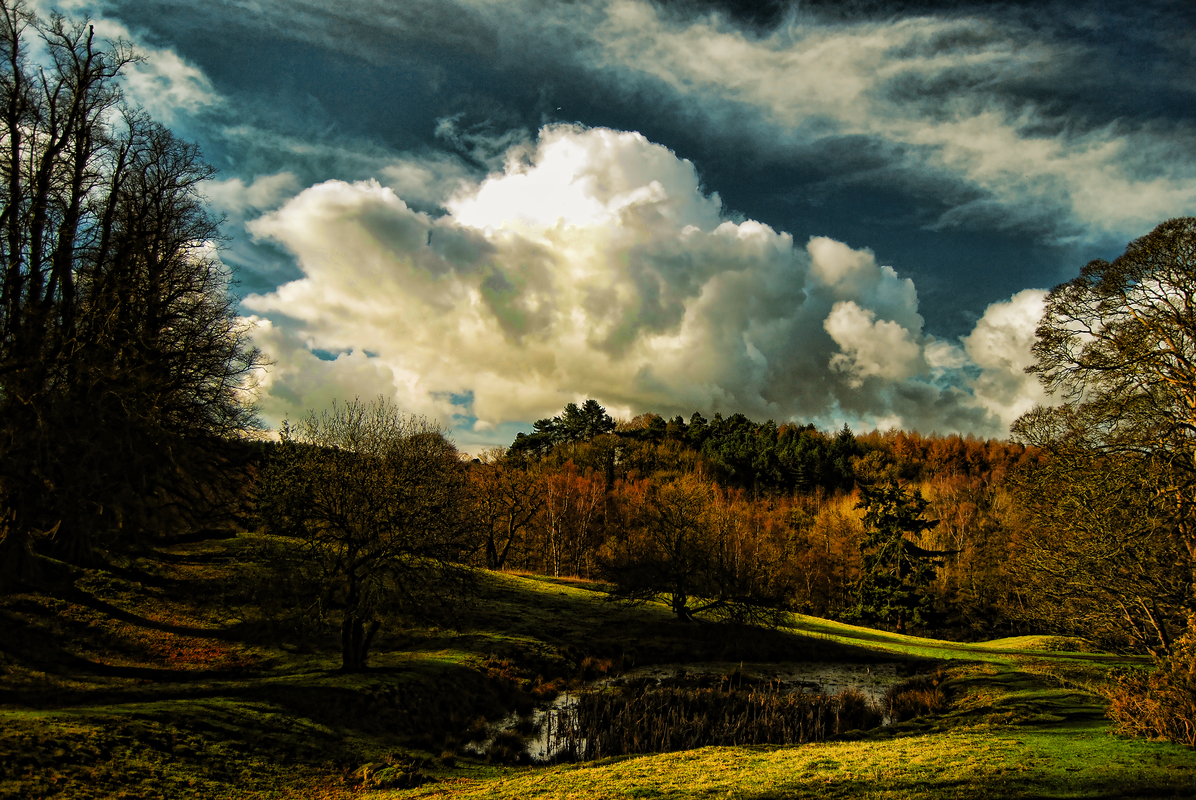
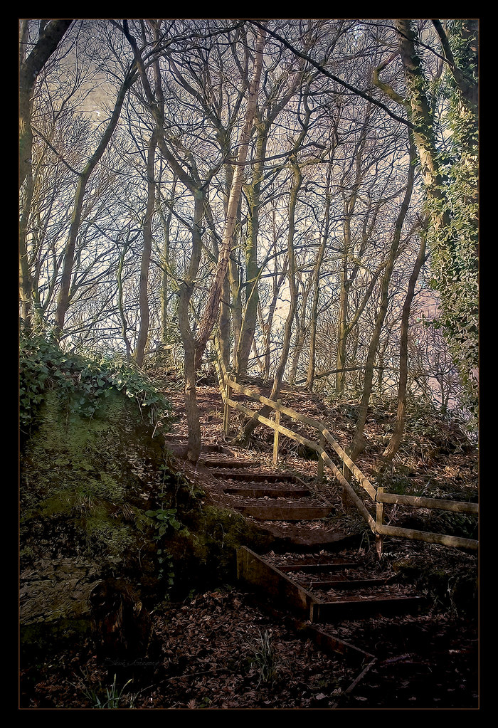
Cheshire Plains.
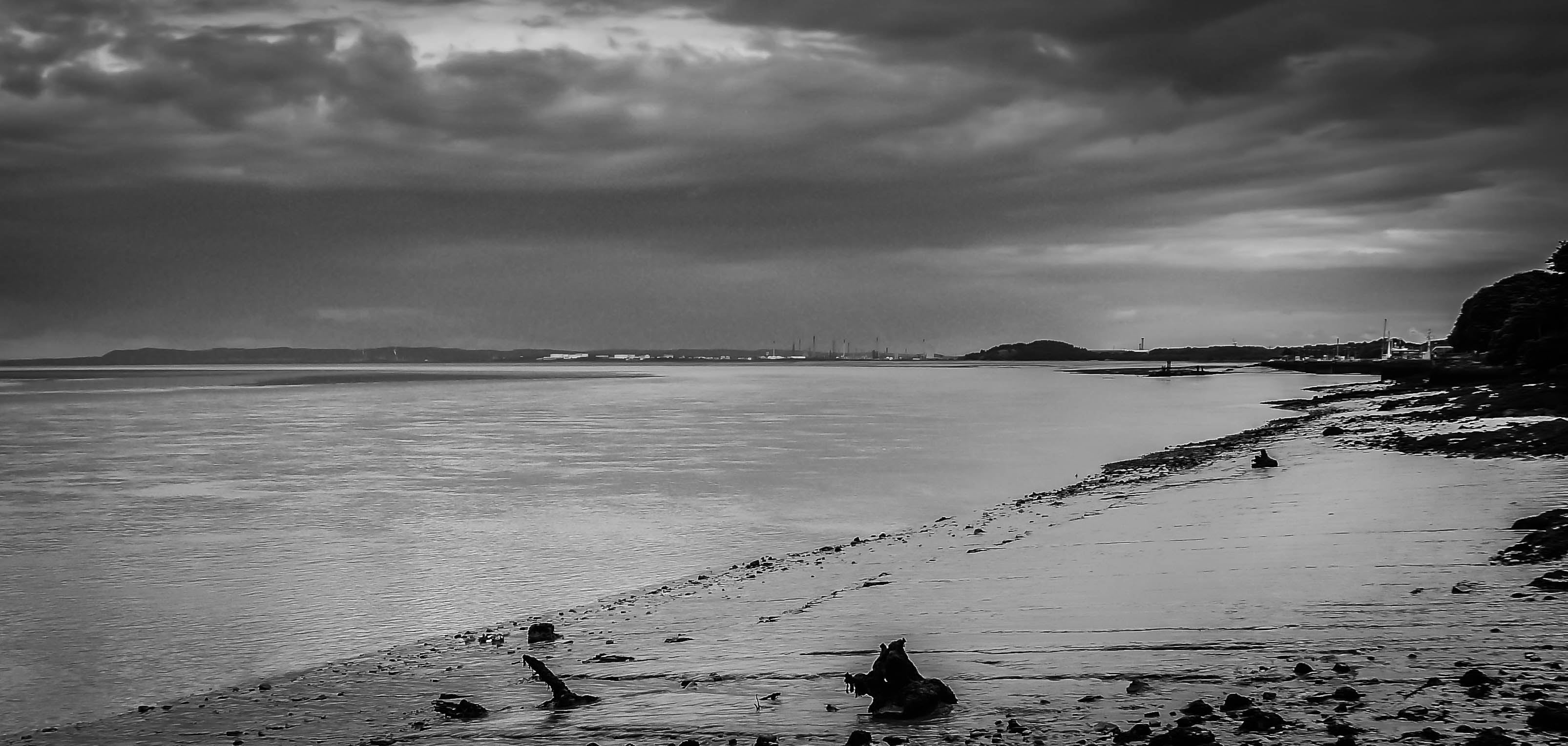
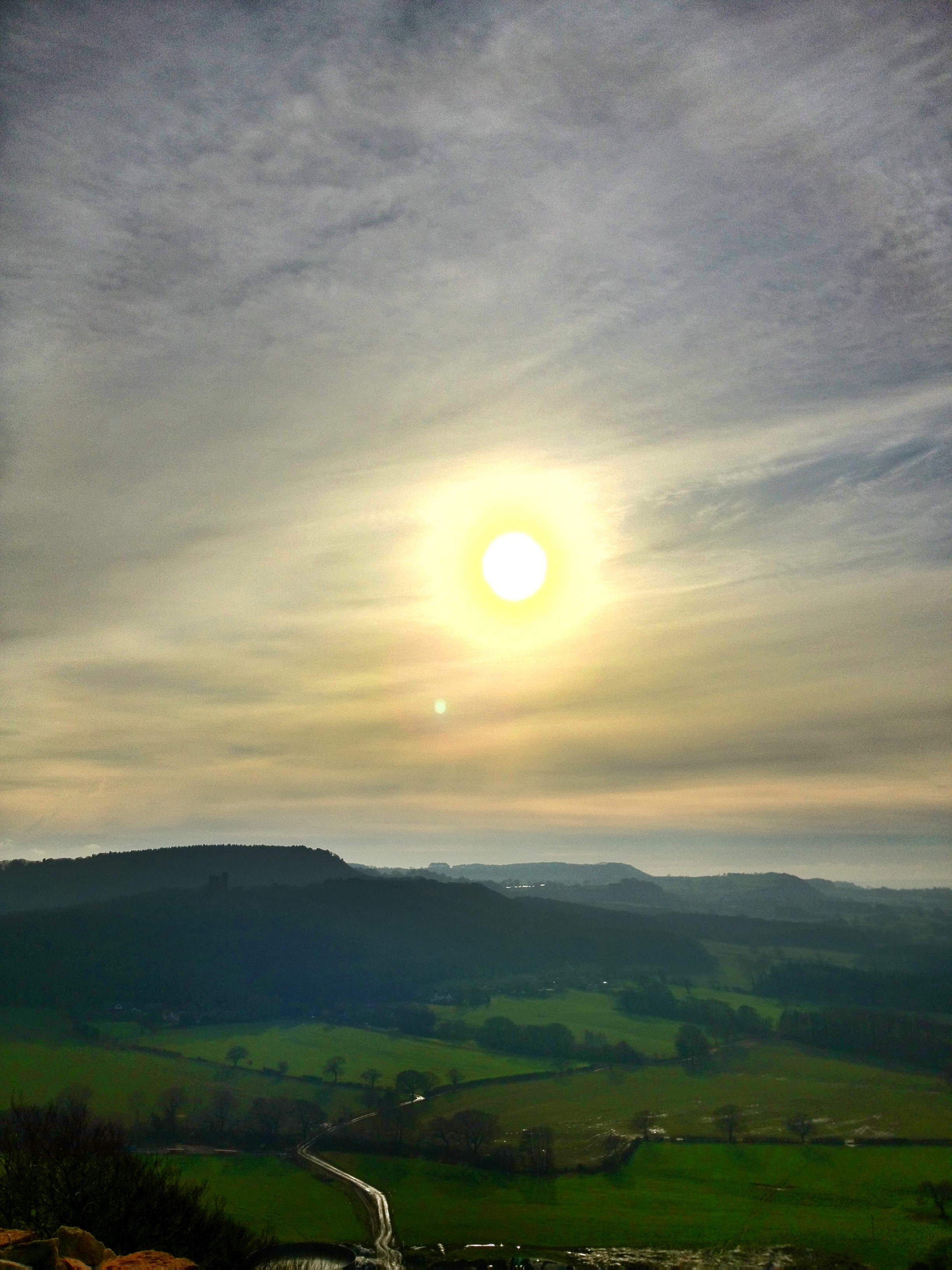
View from Eastham

Delamere Forest.
Reflections On The Dee
beeston beast!

First frost of Autumn
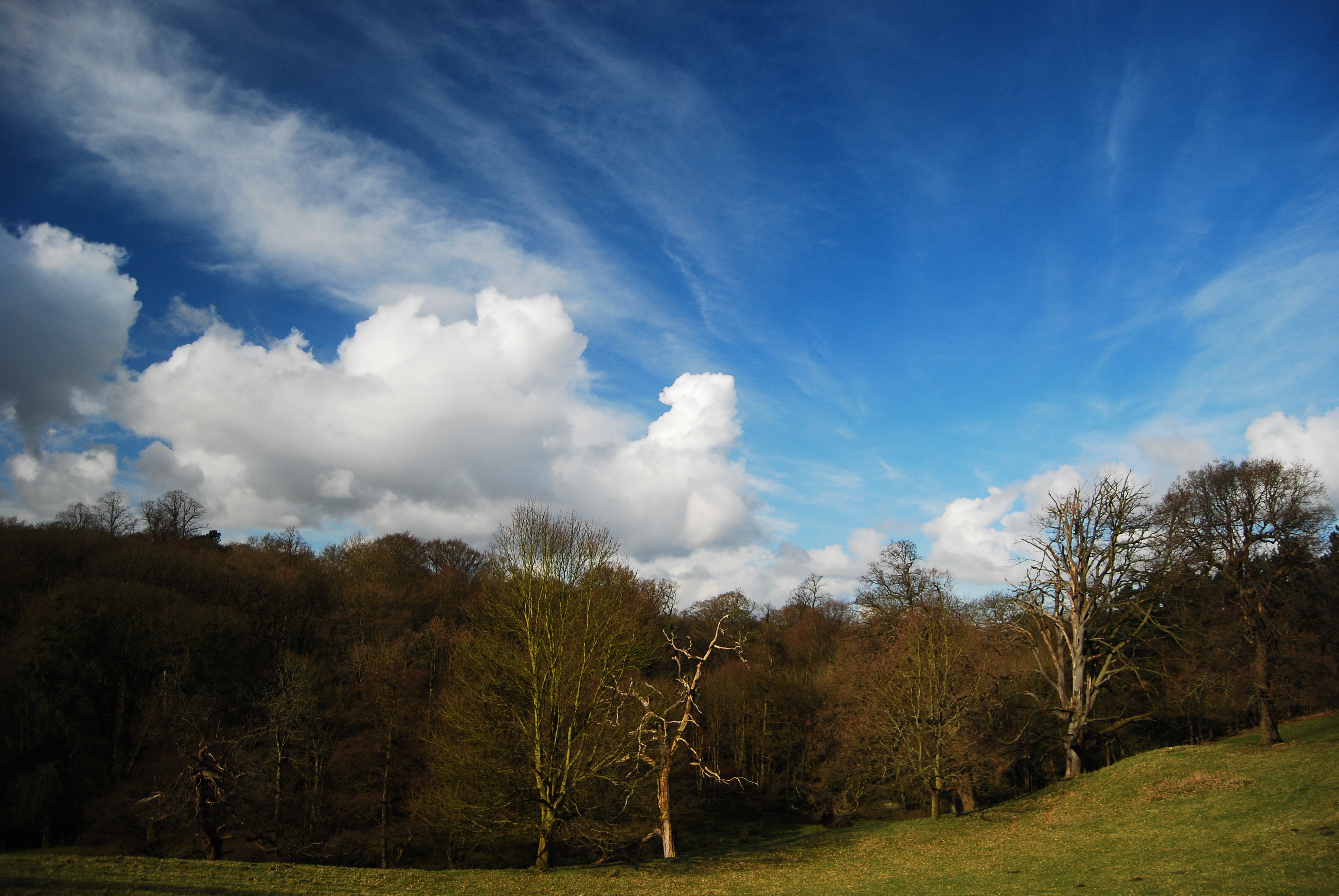
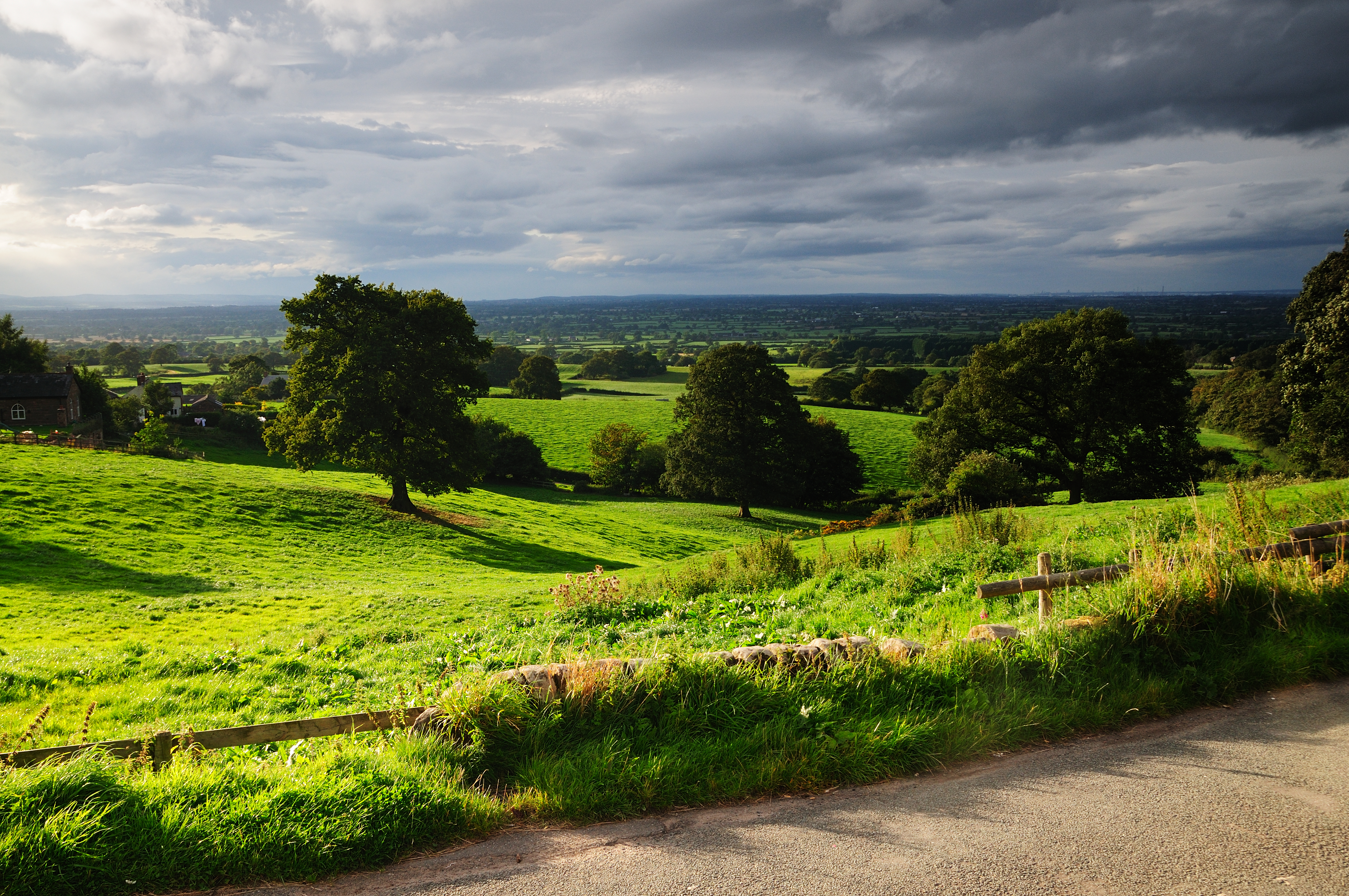
english countryside
Lightening Tree
HAWARDEN NORTH WALES
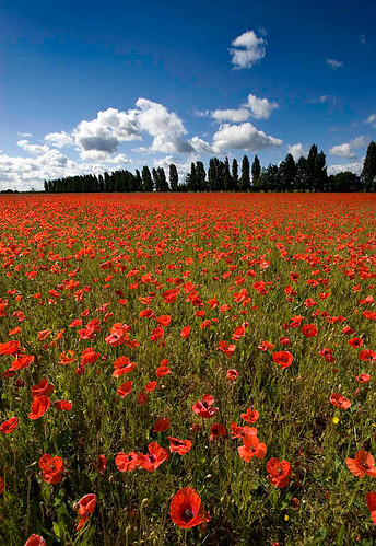
The Sea of Red

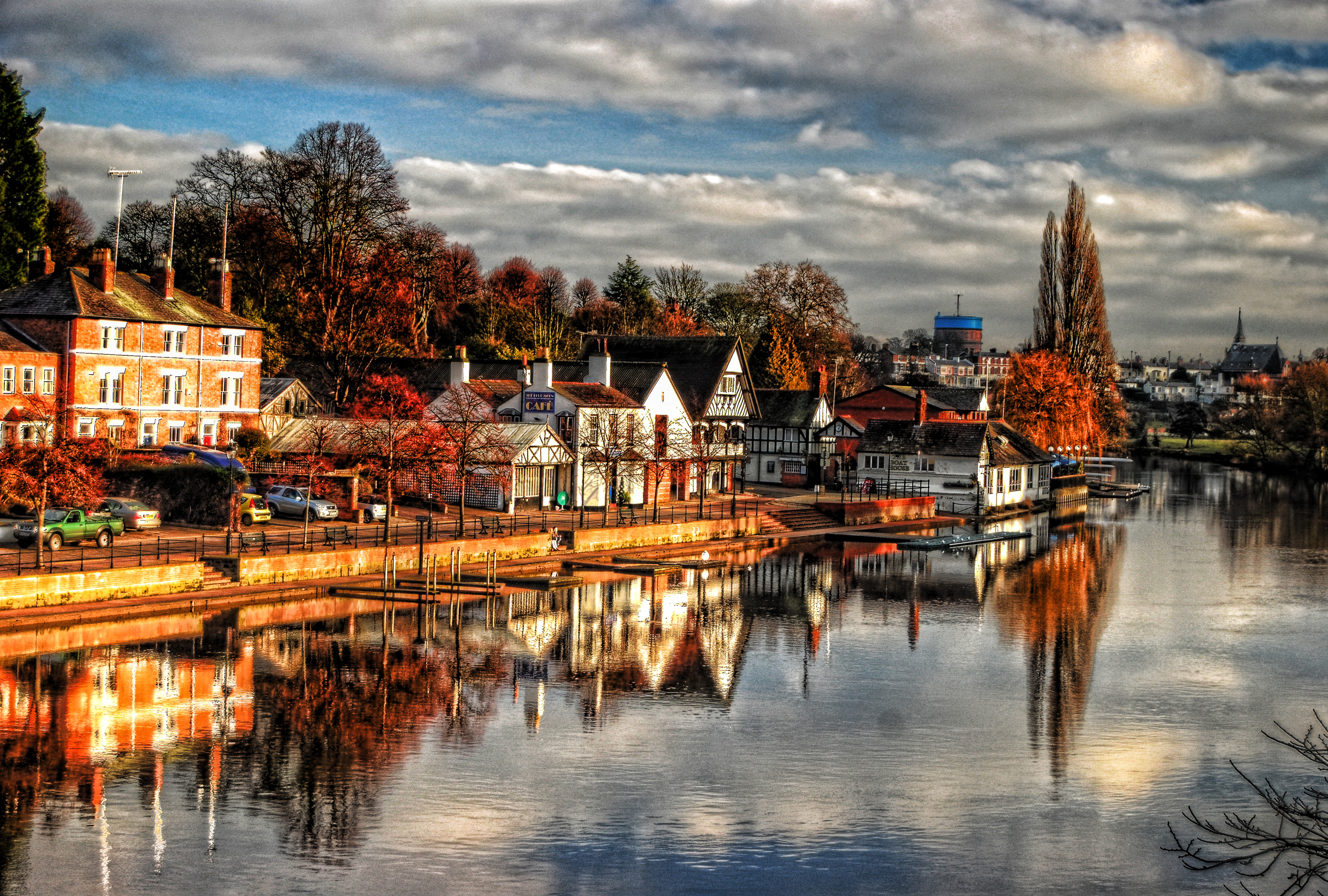
'River Dee'

Lamplit sunset
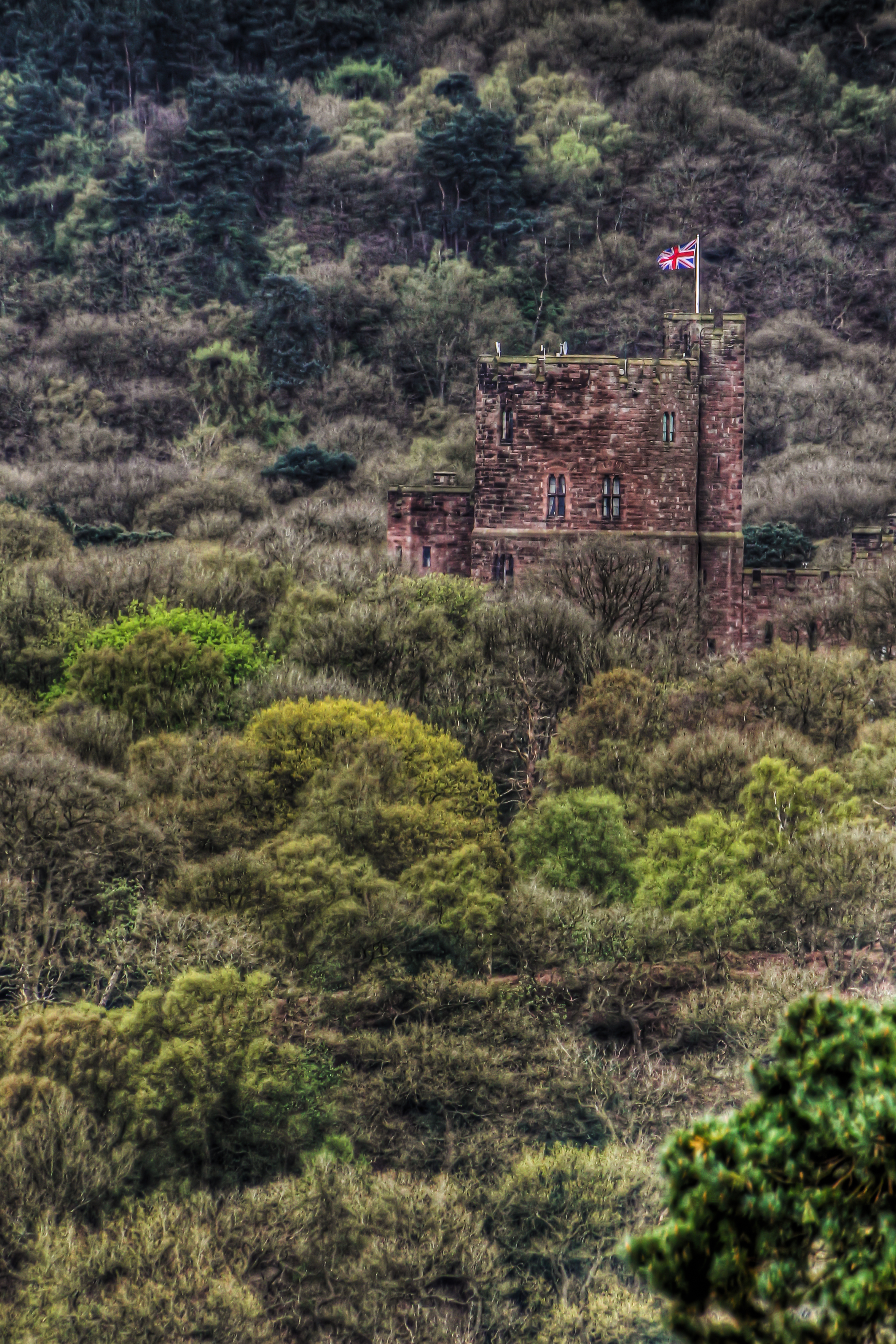
Peckford From Beeston
HALE HEAD LIGHTHOUSE, HALE, MERSEYSIDE, ENGLAND.(PANORAMIC VIEW)
View Of Helsby From Above
A tale of two countries
Wepre Park Falls
look closer
View Towards North Wales

Bike Ride #1
LAN_1145_2009-08-27_182922
Topographic Map of Chester, Chester, Cheshire West and Chester, UK
Find elevation by address:

Places in Chester, Chester, Cheshire West and Chester, UK:
Places near Chester, Chester, Cheshire West and Chester, UK:
Ch1 2hq
Colson Court
Victoria Road
Eastgate Clock
4 Abbot's Grange
Chester Hermitage Or Anchorite Cell
54 Elizabeth Cres, Chester CH4 7AZ, UK
Thornton Drive
Ch2 2hy
Ch2 1au
Upton
Ch3 5ul
8 Arley Cl
Ch3 5tj
Bridgegate North
54 Alwyn Gardens, Upton, Chester CH2 1LW, UK
Blacon
Saltney
Mollington
Ch4 8qr
Recent Searches:
- Elevation of Corso Fratelli Cairoli, 35, Macerata MC, Italy
- Elevation of Tallevast Rd, Sarasota, FL, USA
- Elevation of 4th St E, Sonoma, CA, USA
- Elevation of Black Hollow Rd, Pennsdale, PA, USA
- Elevation of Oakland Ave, Williamsport, PA, USA
- Elevation of Pedrógão Grande, Portugal
- Elevation of Klee Dr, Martinsburg, WV, USA
- Elevation of Via Roma, Pieranica CR, Italy
- Elevation of Tavkvetili Mountain, Georgia
- Elevation of Hartfords Bluff Cir, Mt Pleasant, SC, USA